

Short answer: choose the full Roques de García walk if you can manage a medium-rated 3.6 km circuit with 202 m of ascent. Choose the accessible La Ruleta section or the viewpoint if your group needs a short, nearly level visit.
I return to this corner of Teide because it gives you a great deal of volcano without demanding a summit expedition. The official PNT 03 route takes about two hours before photo stops and starts opposite the Parador.
This guide is about Roques de García, the La Ruleta viewpoint and practical trail planning. The cable car, summit and long Montaña Blanca ascent are separate plans.

Quick verdict: what you can realistically do near the Parador
La Ruleta, across the TF-21 from the Parador, is the start for PNT 03 and the famous first view of Roque Cinchado. The official circuit runs between 2,022 and 2,186 metres.
The opening is easy and busy. The full walk continues to Llano de Ucanca, passes La Cascada and La Catedral, then earns its medium rating on the steep zigzag return.
| Choose | Official reality | Good for | Think again if |
|---|---|---|---|
| Full PNT 03 circuit | 3.6 km, about 2 h, medium difficulty, 202 m ascent and descent | Prepared walkers with grip, water and time | Your group expects a flat promenade |
| Accessible La Ruleta route | 180 m each way, about 10 min, nearly level | Reduced mobility, prams and a short family stop | You want to complete the main circuit |
| Roque Cinchado viewpoint | A brief photo stop near the trailhead | Changing weather or a very short visit | You plan to call it the full hike |
Local verdict: walk PNT 03 when your group wants one real Teide trail without committing the day to mountaineering. If the final climb, altitude or weather does not suit everyone, enjoy La Ruleta instead.
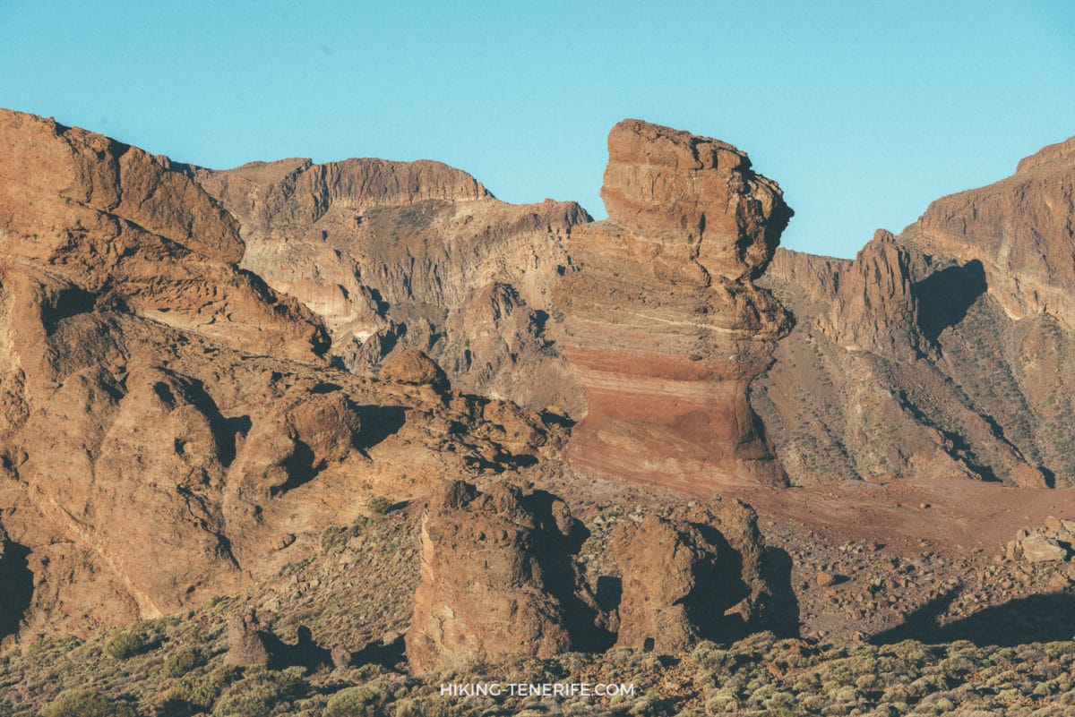
Where the Roques de García walk starts
Start at Mirador de La Ruleta on the Roques de García side of the road. The official description tells walkers to keep the formations on the left, but current PNT 03 signs and closures always take priority.
The trail begins almost flat beside Roque Cinchado and El Torrotito. It then descends towards Llano de Ucanca before the steep return beside La Catedral.
Map note: the Parador and La Ruleta are one road crossing apart, but the full trail leaves that busy edge. Allow the official two hours plus stops, photographs and slower high-altitude pacing.
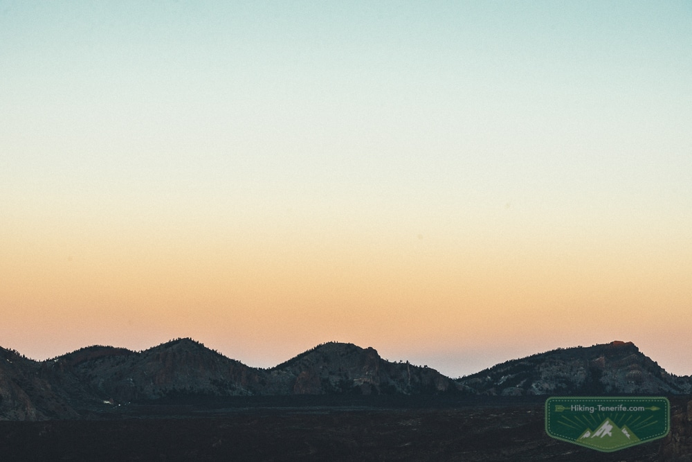
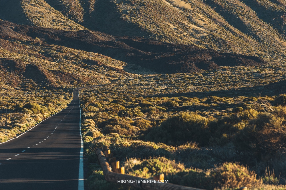
Car, parking and the no-car reality
Use only signed spaces at La Ruleta or Cañada Blanca and check current parking controls before leaving the coast. Works and access rules can change capacity, so arrive early and keep the viewpoint as your fallback.
From Puerto de la Cruz, budget roughly 60 to 75 minutes by car before stops in normal conditions. Recheck the live TF-21 route because snow, ice, traffic controls and road works can change that answer completely.
Without a car, line 348 currently connects Puerto de la Cruz and the Parador in about 1 hour 40 minutes. Line 342 serves Costa Adeje and Los Cristianos, while line 341 handles journeys inside the park.
Check the current TITSA timetable, stop notices and final return before boarding. Temporary works have moved the Parador stop to Roques García before, which is useful for this walk but a good reason not to trust an old screenshot.
Plan like this: for a no-car day, make Roques de García the main event and keep your timetable light. For a car day, combine it with one measured Teide road route, not every viewpoint on the island before dinner.
Altitude and weather: the part photos politely omit
At this height the sun can feel fierce. The wind can turn cold, and cloud can erase the big view quickly.
Thin air makes a short climb feel longer than the same distance near the coast. Bring water, food, sun protection, a windproof warm layer and closed shoes with grip.
Before leaving the coast, check Tenerife ON alerts, island road status and the AEMET mountain forecast.
Wind, ice, snow, heat, fire restrictions and poor visibility can change the decision on the day. Turn the plan into a viewpoint stop when conditions are wrong.
Beautiful, yes. Effortless, no. Teide weather gets the final vote.
Common mistake: arriving in sandals because the coast was warm. PNT 03 is not technical, but loose volcanic ground, a 202 m return climb and cold wind still require closed shoes with grip.
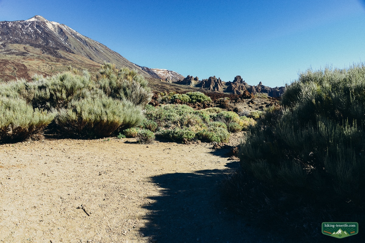
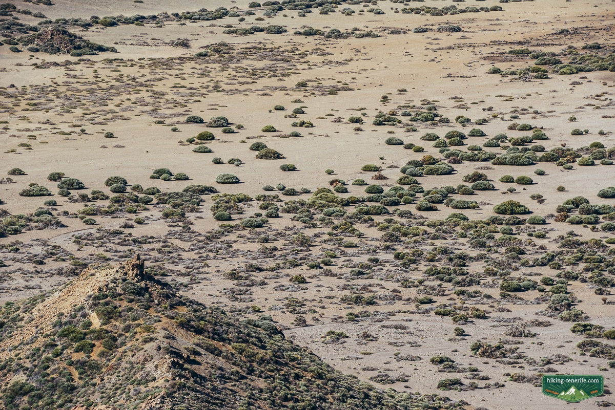
The PNT 03 circuit, step by step
1. La Ruleta to the towers. Take the marked trail and enjoy the easy opening. This is the best section for a very short visit, photographs, children who are not walking the whole loop, and the accessible viewpoint connection.
2. Around the northern end. Continue around the Roques rather than turning every informal footprint into a route. The trail drops gradually and opens the view over Llano de Ucanca, Teide and Pico Viejo.
3. Llano de Ucanca and La Cascada. The official route highlights a fluid lava flow known as La Cascada and the dark basaltic mass of La Catedral. Stop, look and keep your feet on the marked ground; the volcanic drama is already doing enough.
4. The climb back. This is where the route earns its medium label. Take the switchbacks slowly, especially with children or when the wind is up. Reaching the parking area tired but happy is the correct ending.
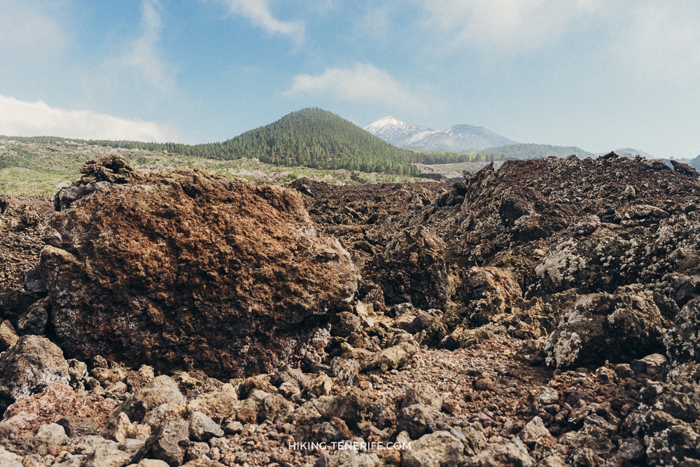
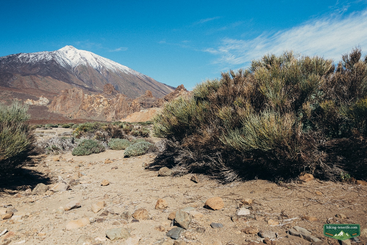
Families, older hikers, solo walkers and photographers
Active families with school-age walkers can enjoy the loop if everyone has grip, water and patience for the final climb. Toddlers, prams and tired groups are better served by the short accessible route.
The official SA PMR 01 route runs 180 m from La Ruleta to Los Tagorores and is nearly level. It is a useful mobility-friendly viewpoint route, not an accessible version of the full circuit.
If you are travelling with children, compare this with our Tenerife with kids guide before committing the whole day to altitude.
Solo walkers get a clear marked route. Still, check conditions and tell somebody the plan.
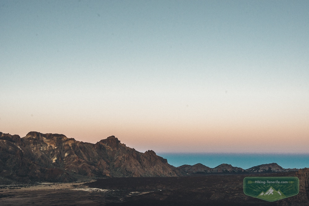
Photographers should go early for quieter parking and softer light. Late visits work only with enough daylight for the whole circuit. Sunset makes the rocks theatrical; it does not make an unlit descent clever.
Want the whole Teide day in a sensible order? My handcrafted guide connects the road, viewpoints, timing and quieter stops without turning one short walk into a rushed checklist.
Is staying at the Parador worth it?
Staying at the Parador adds value if you want to experience Las Cañadas before the day-trippers arrive. It also helps you divide Teide into two calmer days.
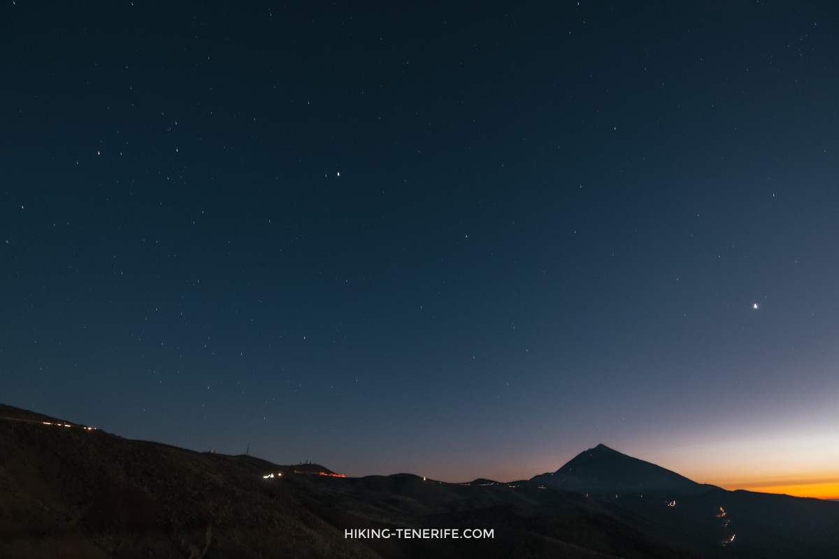
It makes stargazing and sunrise more realistic without a late mountain drive. Keep those details in my Mount Teide sunrise guide, because a dark photography plan is not the same as this daytime circuit.
The Cañada Blanca visitor centre is next door, but recheck current opening information before building the day around any facility.
For most south-coast visitors, a good car day is enough: drive up early, walk PNT 03, choose one or two compatible stops and go down before everyone is tired. If you are deciding where to base the whole holiday, read Things to Do in South Tenerife and Things to Do in North Tenerife before booking one night at altitude for the romance of it.
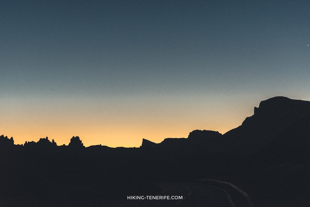
What to combine with Roques de García, and what to save
Combine this loop with Cañada Blanca, a short look at Minas de San José or a measured road route. If you have a cable-car booking, treat it as its own timed commitment: cable-car operation and upper routes are weather-sensitive, and a ticket does not grant summit access.
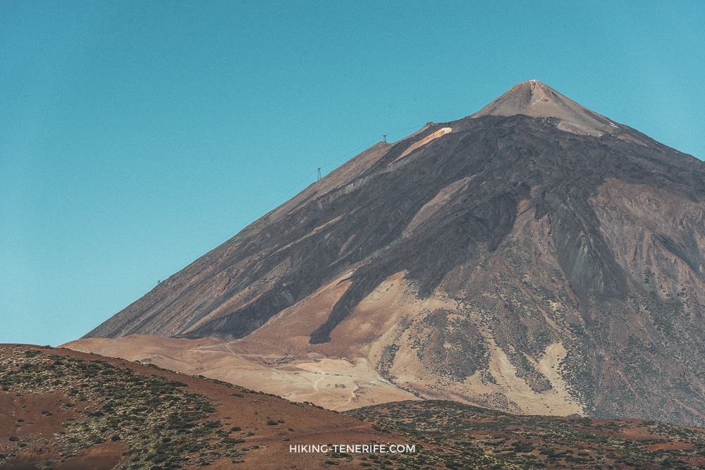
Save the long PNT 07 Montaña Blanca ascent and summit controls for another day. For the wider park, use my Teide National Park guide.
If your priority is a short scenic stop rather than a trail, compare it with the best viewpoints in Tenerife. For a serious route comparison, use the best hikes in Tenerife.
The rules that keep this landscape worth walking
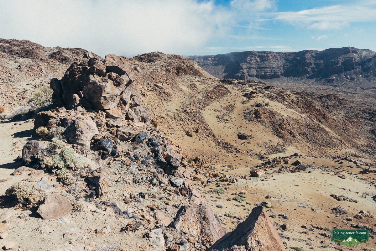
Stay on marked trails. Take all litter home. Do not collect rocks or plants, disturb wildlife or park outside designated areas.
Do not rebuild the odd branch piles from the old video. Do not add stones to them or turn fragile ground into a private photo set. The mystery is allowed; damage is not.
Leave the volcanic story where you found it. The next walker should see the same landscape.
Safety rule: an open car park does not guarantee an open or sensible trail. Obey closures and turn around when wind, cloud, ice, heat or poor visibility changes the route.
Roques de García and Parador walks FAQ
Is the Roques de García walk easy?
It is short and clearly marked, but the official rating is medium. Expect loose volcanic terrain and a steep return climb at high altitude.
Do I need a permit for Roques de García?
PNT 03 currently has free access without a reservation, subject to same-day closures and park rules. That does not apply to every Teide trail: summit access, cable-car upper routes and long high-mountain plans have separate controls.
How long is the drive from Puerto de la Cruz?
Budget roughly 60 to 75 minutes before stops in normal conditions. Check the live TF-21 route because mountain weather, works and controls can change the journey.
Is there an accessible Roques de García route?
Yes. The official 180 m SA PMR 01 route is nearly level and reaches Los Tagorores, but it is separate from the full PNT 03 loop.
Can I visit without a car?
Yes, with a checked TITSA timetable and modest plan. Lines 342 and 348 reach the park, and line 341 serves journeys inside it, but the final return must shape your day.
With you was Dima. Take a sandwich if you like. Just take the warm layer too.

