

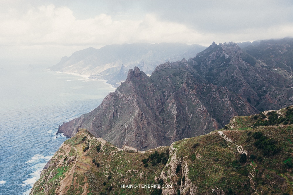
Short answer: Tenerife still has wild coastal places, but “secret” usually means a tradeoff. The beach may require a serious walk or boat, have no direct parking or lifeguard, sit inside a protected landscape, or be closed because the cliffs and sea are unsafe.
This guide compares 11 famous “hidden beach” names honestly. It includes places that work as coast walks or photo stops, remote places that need experienced planning, and beaches you should currently skip.
For a normal beach day, start with my best beaches in Tenerife guide. For volcanic sand specifically, use the black-sand beach guide. This page has the narrower job of explaining access, parking reality and reasons not to go.
Safety rule: no lifeguard evidence means no swimming recommendation here. Check municipal closures, flags, swell, wind, tide and daylight on the day, and leave immediately if barriers or local instructions say the coast is closed.
Choose by access, not by the word secret
The only sensible way to choose a hidden beach is by the weakest person in your group, the legal route and the day’s sea. A beautiful photo does not tell you whether the path is open, whether the sand disappears at high tide, or whether you can get back safely.
| Place | Current role | Access and parking | Swimming stance |
|---|---|---|---|
| Playa de la Pelada | Lower-profile coast walk | Walk or drive near the neighbourhood; no parking promise | Only after a same-day condition check |
| Roque Bermejo | Remote Anaga settlement and coast | Serious walk or arranged boat; no direct parking | No recommendation without local advice |
| Benijo | Closed beach and viewpoint area | Beach access closed; do not use alternative paths | Do not enter |
| Antequera | Remote Anaga beach | Boat recommended officially; walking access is very difficult | No recommendation without expert planning |
| Ocadila | Unverified remote coast | No reliable official visitor route confirmed | Not recommended here |
| Diego Hernández | Protected coast walk | Official paths only; limited parking outside the protected site | No guarantee |
| Playa del Arenal | Difficult north-coast walk | Uneven path from Mesa del Mar area; verify access first | Open-sea caution |
| El Ancón / Los Patos | Different statuses on one coast | El Ancón requires a fresh path check; Los Patos is closed | No family or easy-swim recommendation |
| Masca Beach | Closed beach at a regulated trail | Trail booking does not open the beach | Beach remains closed |
| La Fajana | Protected-landscape walk | On foot through Rambla de Castro | Open-sea caution |
| Western La Tejita | Managed beach beside a reserve | Road and TITSA 470; parking availability not promised | Follow flags and lifeguards |
Parking reality: a place can be less convenient without being less visited. Never block residents, emergency access, agricultural entrances or narrow Anaga roads. If the legal parking area is full, choose another coast stop.
The 11 beach entries, in honest access order
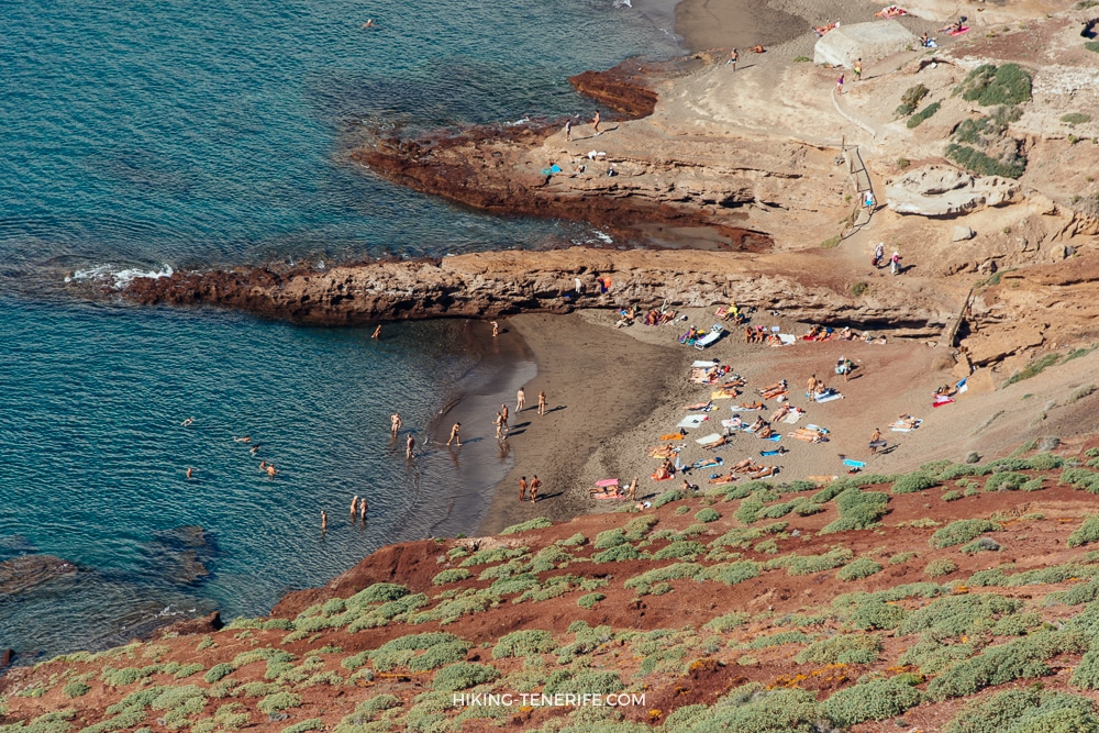
1. Playa de la Pelada below Montaña Pelada
Playa de la Pelada is the precise beach name. Montaña Pelada is the volcanic monument behind it, near El Médano.
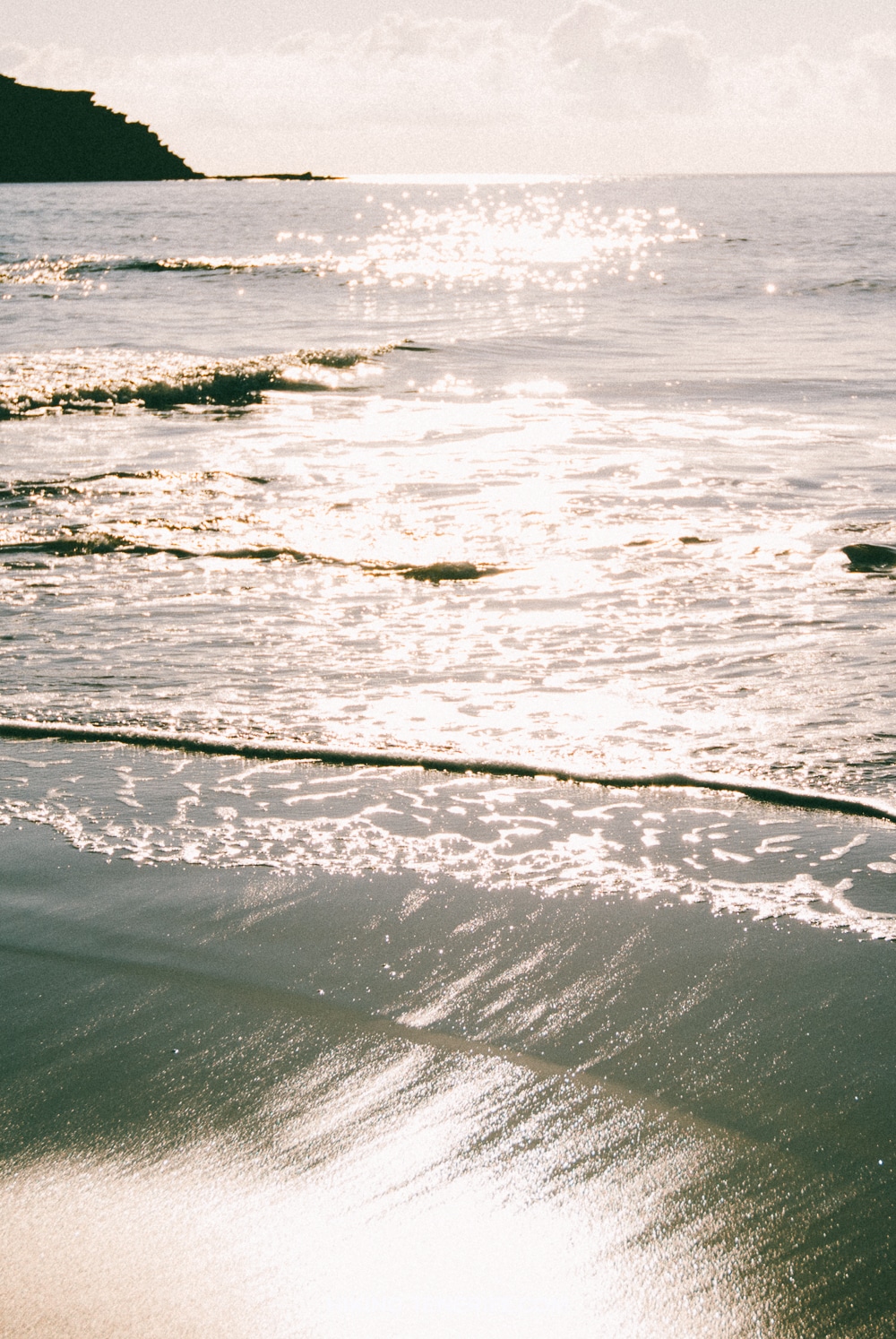

This is a lower-profile coast stop rather than a guaranteed quiet beach. Wind can change the experience quickly, and the official municipal walking guide only suggests bathing if weather permits.
Use the detailed Playa Pelada guide for the current place-level decision. Do not assume parking, facilities, lifeguards or calm water.
2. Roque Bermejo
Roque Bermejo is a remote Anaga settlement with pebble bathing areas by the coast and pier. There is no drive-in beach or direct parking.
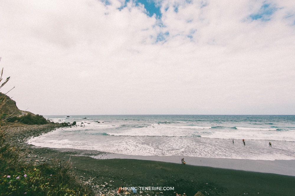
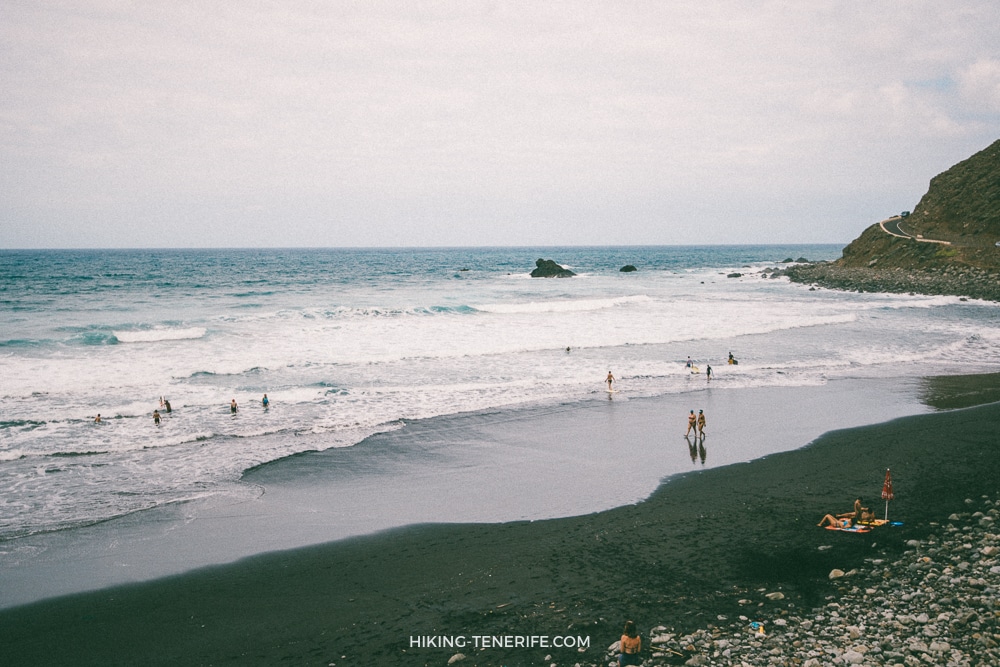
The official Anaga inventory describes access on foot or by boat. Do not treat Taganana or Almáciga as a nearby roadside entrance, and do not start a remote route without daylight, water, appropriate footwear and a confirmed return plan.
This page does not recommend swimming there. For actual surf decisions around the Taganana coast, use the dedicated Anaga surf guide.
3. Playa de Benijo, currently closed
Benijo is beautiful, famous and currently closed. Santa Cruz closed the beach access because of rockfall danger, and the municipality was still working toward stabilization and a future reopening in 2026.
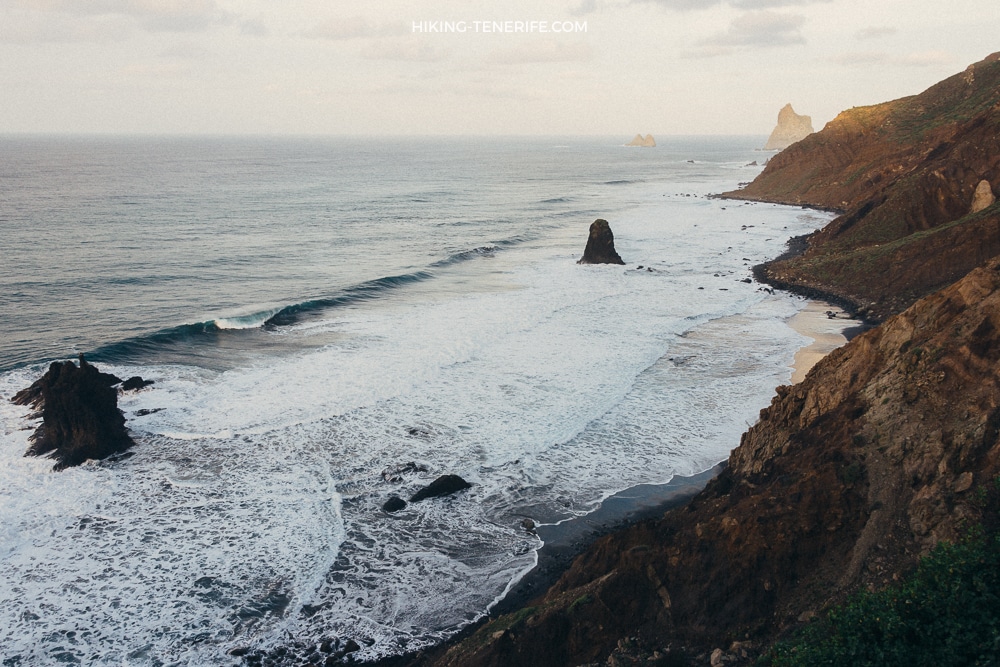
Do not use alternative paths, climb around barriers or treat a closure as a crowd-avoidance trick. The black sand also disappears at high tide and the open Atlantic can produce intense swell.
The viewpoint and local restaurant area can still be part of an Anaga day when roads and parking allow. The beach itself is not a current recommendation.
4. Playa de Antequera
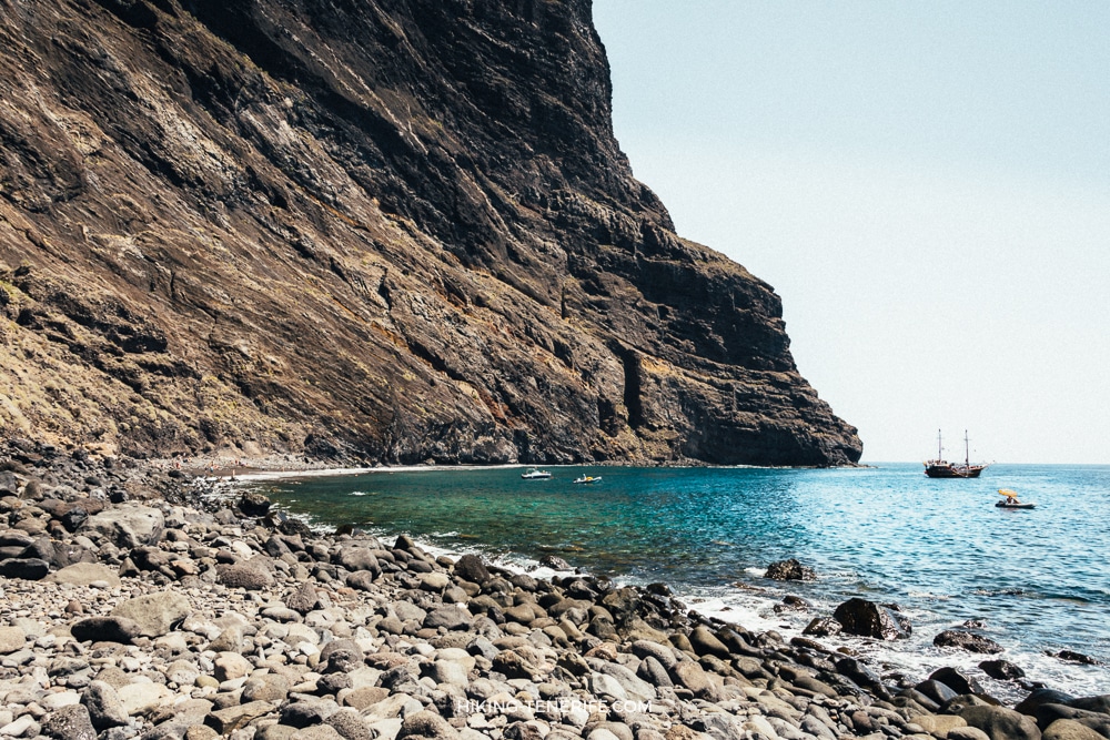
Antequera has no road access. Official Anaga guidance says the walk is very difficult and recommends arriving by boat from Santa Cruz or San Andrés.
That is not an invitation to improvise a route in sandals or publish shortcuts through fragile terrain. Use an appropriate licensed operator or choose another beach.
5. Playa de Ocadila
Ocadila is often repeated in secret-beach lists, but I could not verify a current official visitor route, landing arrangement, lifeguard service or swimming guidance.
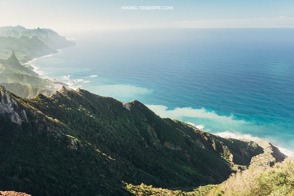
That is enough reason not to publish boat, kayak or mountain directions here. A remote volcanic coast is not the place for a first paddling experiment.
Local verdict: uncertainty is not adventure information. Until legal access and current conditions are confirmed by an authoritative local source, leave Ocadila off the holiday plan.
6. Playa Diego Hernández
Diego Hernández lies inside the Site of Scientific Interest of La Caleta. The coast is attractive precisely because it is protected, not because visitors are free to make new paths or occupy caves.
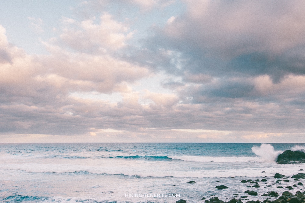
Use only restored official paths. Do not camp, build stone shelters, create shortcuts, leave rubbish or disturb wildlife. The Cabildo completed a major restoration in 2026 that removed secondary paths and illegal occupation.
The walk does not promise solitude, direct beach parking or safe swimming. If you need an easier south-coast alternative, compare Playa La Enramada instead.
Still deciding which coast fits your day? Use my free Tenerife map to group beaches, viewpoints and lunch stops without turning a remote cove into an unsafe checklist.
7. Playa del Arenal below La Garañona
The beach below the La Garañona viewpoint is Playa del Arenal. Calling the beach “La Garañona” confuses the viewpoint with the shoreline.
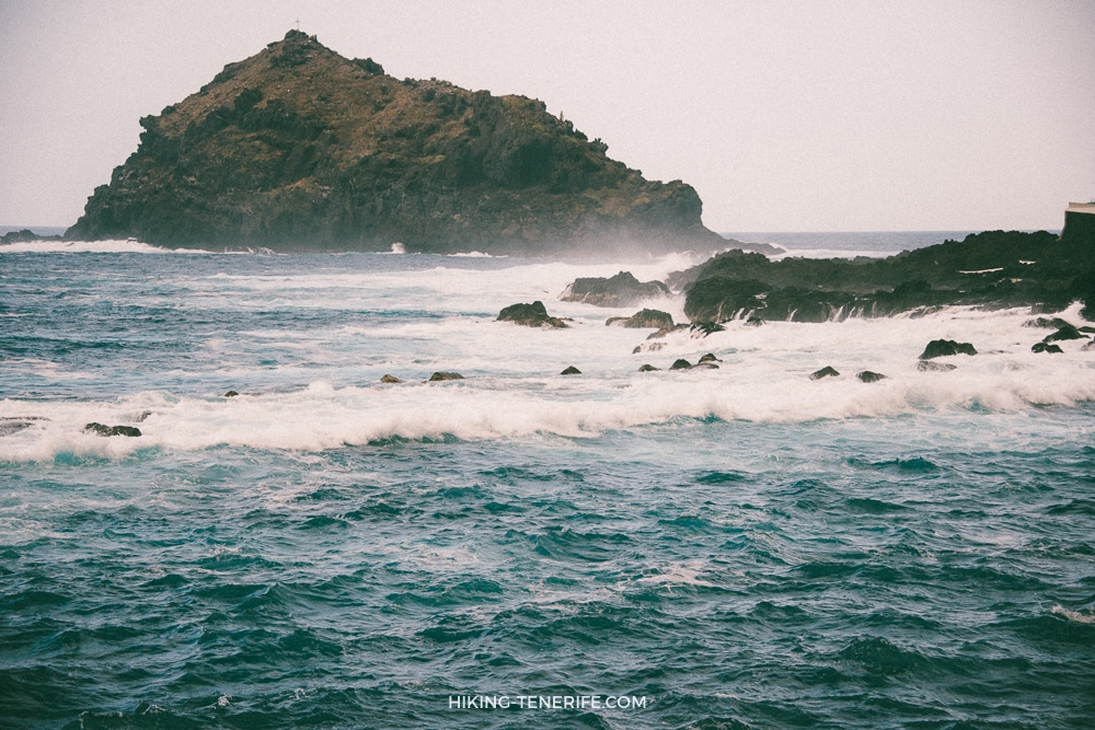
El Sauzal describes a difficult, uneven foot approach from the Mesa del Mar side. Verify that the path is open before leaving, and do not promise yourself a swim just because you can see sand from above.
8. Playa El Ancón and Playa de Los Patos
El Ancón is a separate beach from Los Patos. Municipal information last found El Ancón open, but official planning documents describe difficult foot access on an exposed north coast.
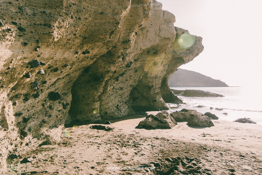
Treat it as a serious coast walk, not a family swimming recommendation. If surf is your real goal, use the Tenerife surf guide rather than choosing an entry from a scenic photo.
Los Patos is closed because the cliff and access area cannot be guaranteed safe after rockfalls. The closure protects visitors and the emergency teams who would have to rescue them.
Do not combine it with El Ancón as if both beaches share the same status. Respect the closure and choose a legal alternative.
9. Playa de Masca, a closed beach on a regulated route
Masca Beach remains completely closed to the public under the official gorge rules. A trail or jetty opening does not change the beach closure.
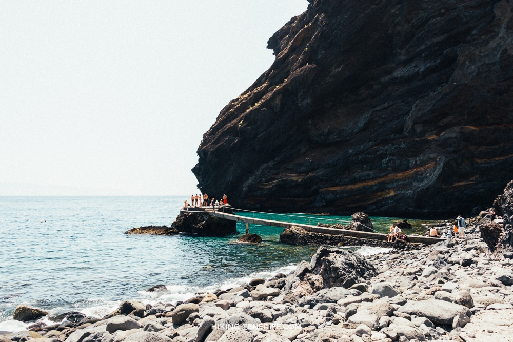
On 30 July 2026, the live Masca status page also showed both the gorge trail and jetty closed. Always check the official live status before a booking.
The regulated descent requires a trail booking, mandatory shared transport, a boat ticket, equipment checks and suitable fitness. It is a mountain route, not a spontaneous beach day.
10. Playa de La Fajana
La Fajana is a small black-sand cove reached through the protected Rambla de Castro landscape in Los Realejos. The walk, Gordejuela ruins and coast belong together.
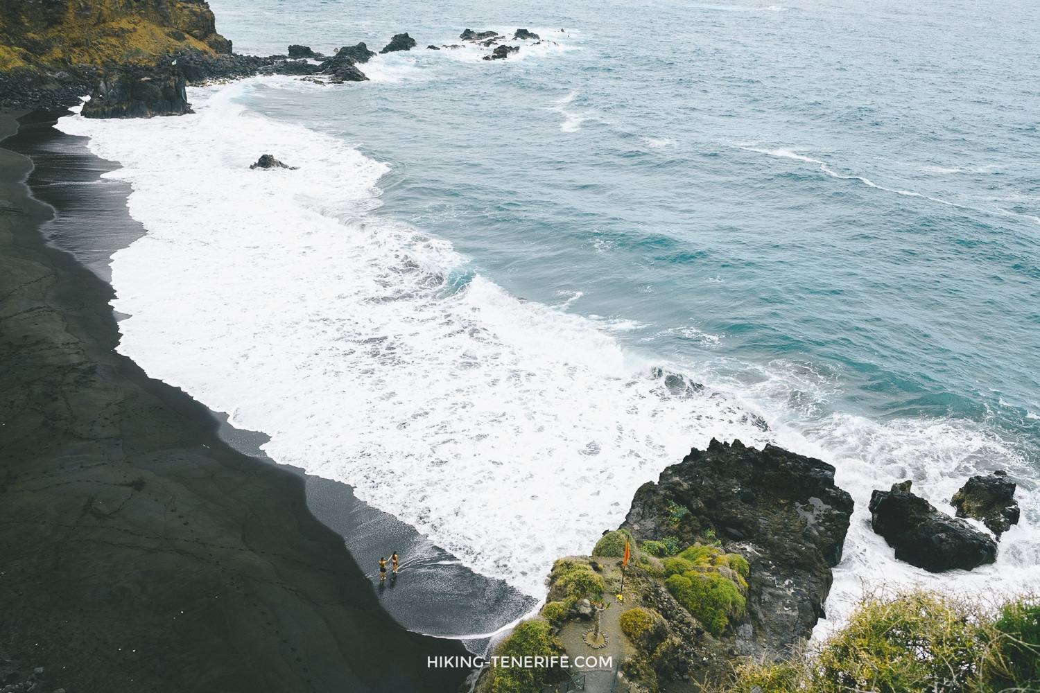
Treat it as a north-coast walk and photo stop first. The municipal tourism page describes open-sea bathing, but it does not establish current lifeguards, facilities or a safe sea state for your visit.
11. Western La Tejita below Montaña Roja
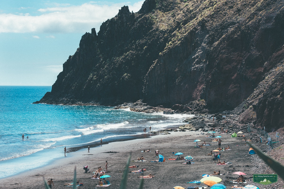
This is the western end of La Tejita below Montaña Roja, not a separate mystery beach. Naturism is customary in this part of the coast, so give people space and do not photograph strangers.
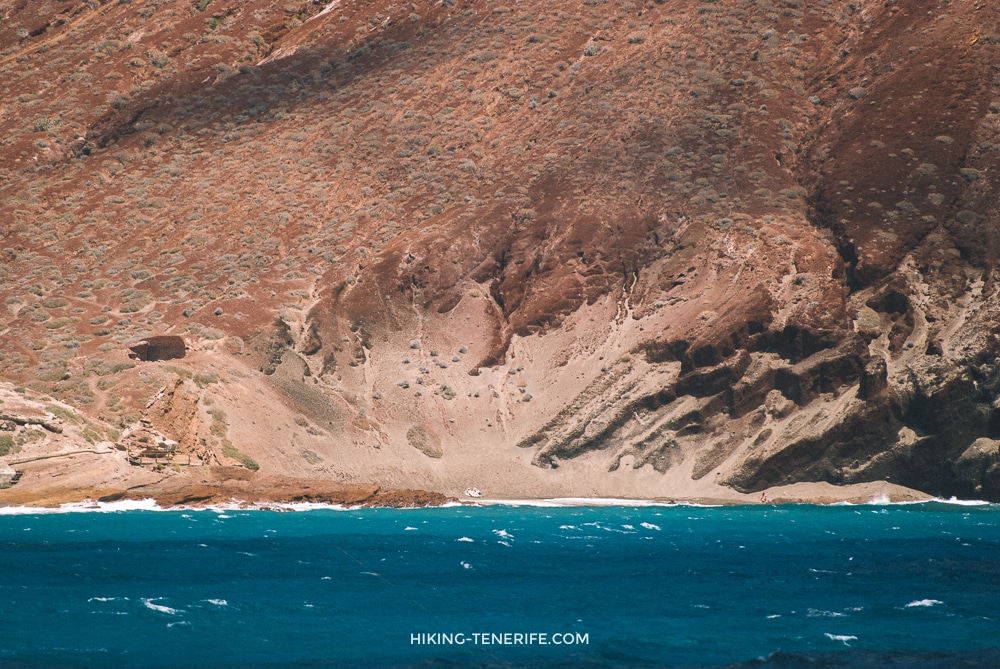
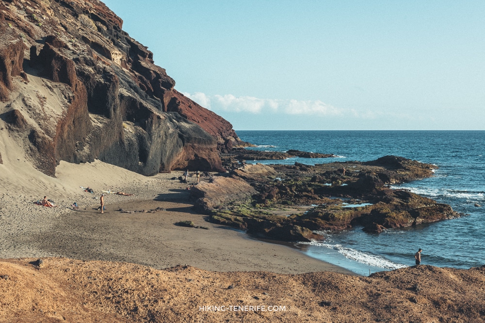
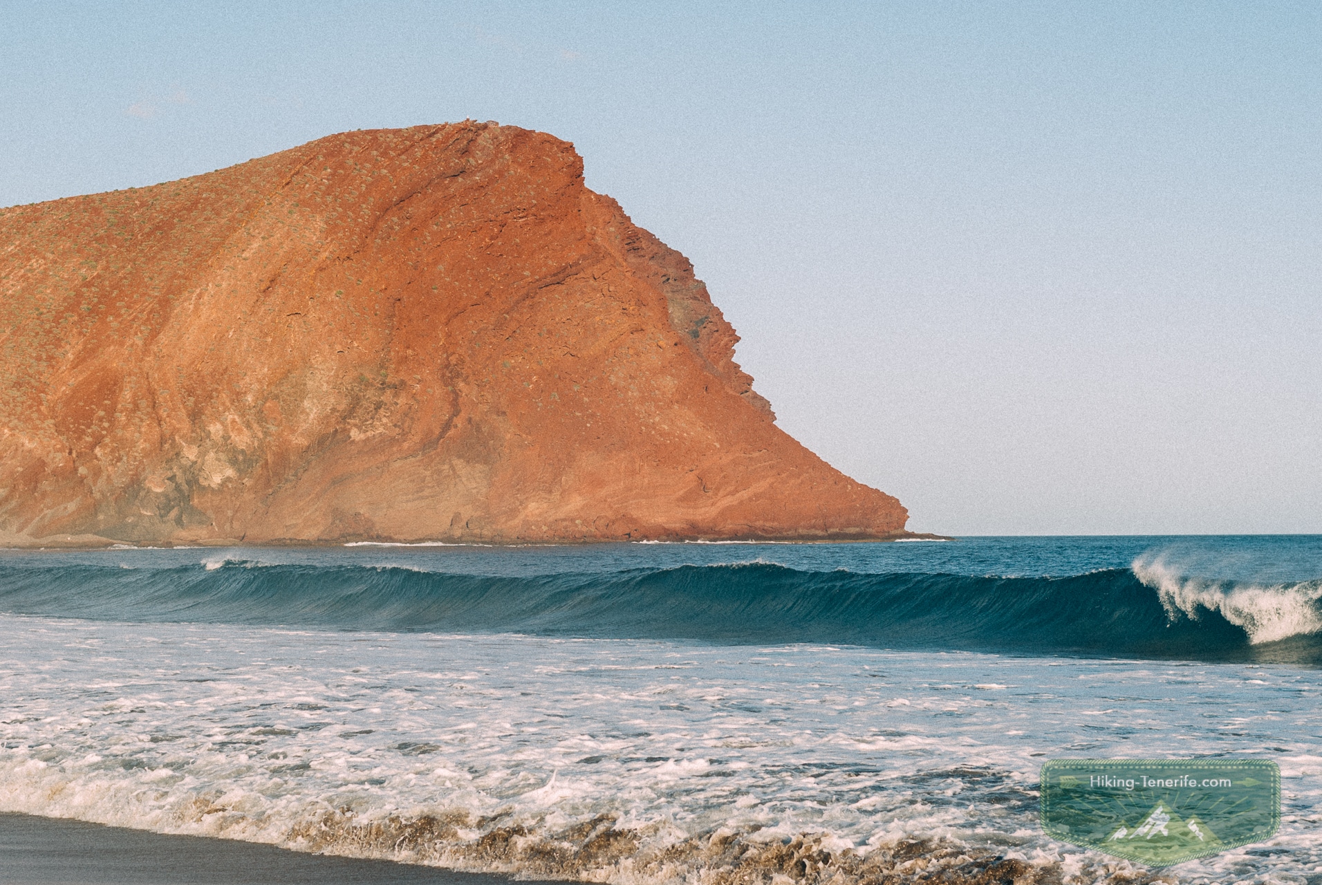
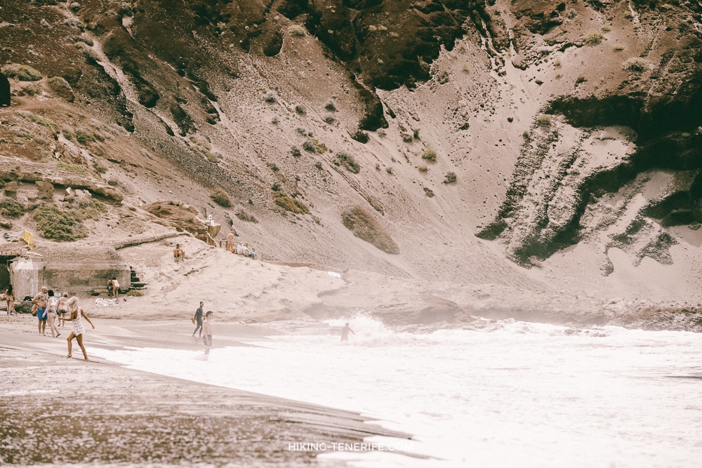
One historic image below shows Masca Beach from before the current regulated access system. It is retained as editorial history, not as evidence that the beach is open.
Back at La Tejita, the managed beach remains the more realistic choice in this list when flags and local instructions allow it.
The beach borders the Montaña Roja Special Nature Reserve. Stay on established paths and respect any temporary controls. TITSA line 470 serves La Tejita, and the municipality provides lifeguard coverage, but parking space and swimming conditions are never guaranteed.
Use the full La Tejita guide for current facilities, transport and wind reality.
Swimming, snorkelling and surf are separate decisions
A beach can look clear from a cliff and still have shore break, currents, rocks or no safe exit. This guide does not turn a remote cove into a snorkelling recommendation.
Use the Tenerife snorkelling guide for entry suitability and the surf guides for wave-riding decisions. For a normal swim, choose a managed beach with current flags and lifeguards.
Common mistake: choosing the least developed beach for the most vulnerable swimmer. Children, weak swimmers and anyone with limited mobility need easier access, visible flags and a realistic exit more than they need a secret label.
FAQ
Are there still secret beaches in Tenerife?
There are lower-profile coves and remote stretches of coast, but most named places are known online. Their real filter is legal access, walking effort, sea exposure or a lack of services, not secrecy.
La Tejita and Playa de la Pelada are more realistic than the remote Anaga entries, but neither comes with a parking, crowd or swimming guarantee. Diego Hernández requires an official protected-area path.
Can I swim at these beaches?
Only after checking the day’s flags, swell, tide, wind and local instructions. Benijo, Los Patos and Masca Beach are not swimming options while their closures remain in force.
Some have roadside or neighbourhood parking nearby, others have no direct parking at all. Availability changes, and you must never block residents, roads or emergency access.
Before leaving your accommodation, open the responsible municipality’s latest beach notice and compare it with the day’s AEMET coastal forecast. A saved blog screenshot is not enough for a cliff-backed beach because barriers, paths, swell and lifeguard coverage can change after the article was published.
Carry water, sun protection and footwear suitable for the legal approach, then set a firm turnaround time before dark. Tell someone where you are going when the coast is remote. If your plan depends on an unverified shortcut, a full roadside shoulder, an unofficial boat landing or swimming without a clear exit, choose a managed beach instead.
Want a better route without chasing prohibited or fragile corners? My handcrafted Tenerife guides help you combine coast, viewpoints and food stops with realistic timing and respectful access.
Know a closure or access change that should be checked? Leave a comment so I can verify it against the responsible authority.

