

Short answer: the reproducible Ifonche walk is the municipal Camino de Ifonche, a 6.4 km point-to-point route between the Ifonche area and La Quinta. Adeje gives 2 hours 30 minutes, 523 m of ascent and 627 m of descent. Arrange the return before you start.
The older 11.68 km gorge loop in this article is a personal route memory, not a currently verified official trail. Use it for atmosphere only unless its lawful access and live route line can be independently confirmed.
I remember Ifonche as a day of following a path, crossing a stream, finding a bridge and seeing what the mountain decided to show us.
The pine forest, terraces, ravines, echo, picnic stones and little joke about shouting into the gorge still matter.
Local verdict: choose the walk before you choose the shoes. If the start, endpoint and return are unclear, the route is not ready for today.
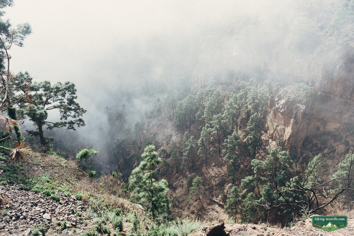
What Ifonche really is
Ifonche is a protected landscape of 774.8 hectares shared by Adeje and Vilaflor. It contains scattered homes, agricultural terraces, pine forest and the rock formations of Imoque and Los Brezos.
Barranco del Infierno borders this wider landscape, but its official visitor trail is a separate controlled route with its own booking and access rules. Walking the Camino de Ifonche does not grant entry to that trail.
Map note: TF-567 from La Escalona reaches the Ifonche area, but it is not a universal trailhead or a parking promise. Use the current municipal route file and live notices to identify the exact endpoint you need.
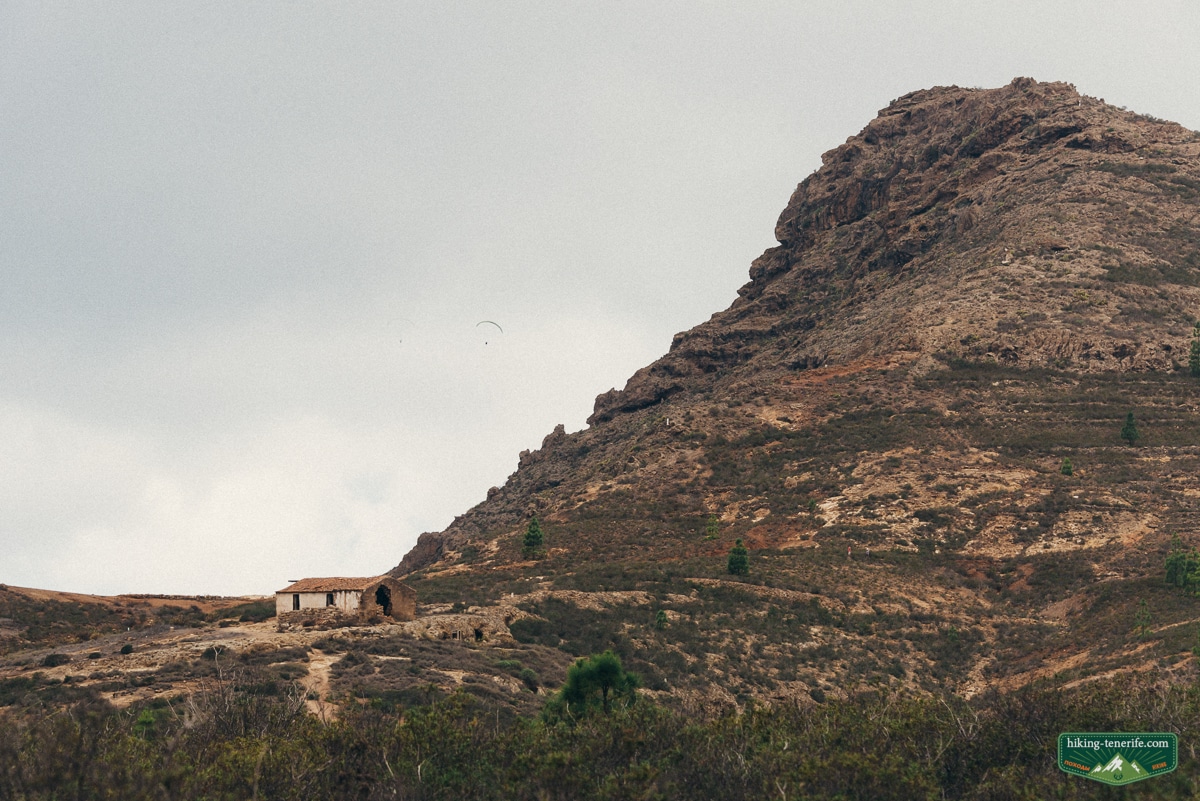
Choose the verified route first
These are not interchangeable versions of one signed loop. Only the municipal Camino has reproducible official facts in this guide.
| Choice | What is verified | What to do |
|---|---|---|
| Municipal Camino de Ifonche | 6.4 km, 2h30, 523 m ascent, 627 m descent, point-to-point between the Ifonche area and La Quinta. | Use the current route file, check live closures and arrange the return before walking. |
| Older gorge loop | The author’s notes describe 11.68 km, five to six hours, a stream, bridge and ravine. | Treat it as inspiration only. Do not reconstruct it from this article, an old video or an informal shortcut. |
| Short Ifonche visit | TF-567 reaches the rural landscape and hamlet area. | Use this fallback when heat, cloud, fire measures, transport or tired walkers make the Camino a poor choice. |
My rule: the shortest route is not automatically the easiest. Endpoint, weather and return transport decide the day too.
Before setting out: open Tenerife ON for current incidents and Adeje’s municipal Camino de Ifonche record for the route file. The accessible official record does not confirm the PR-TF 71.2 label, so this guide does not use it as a route guarantee.
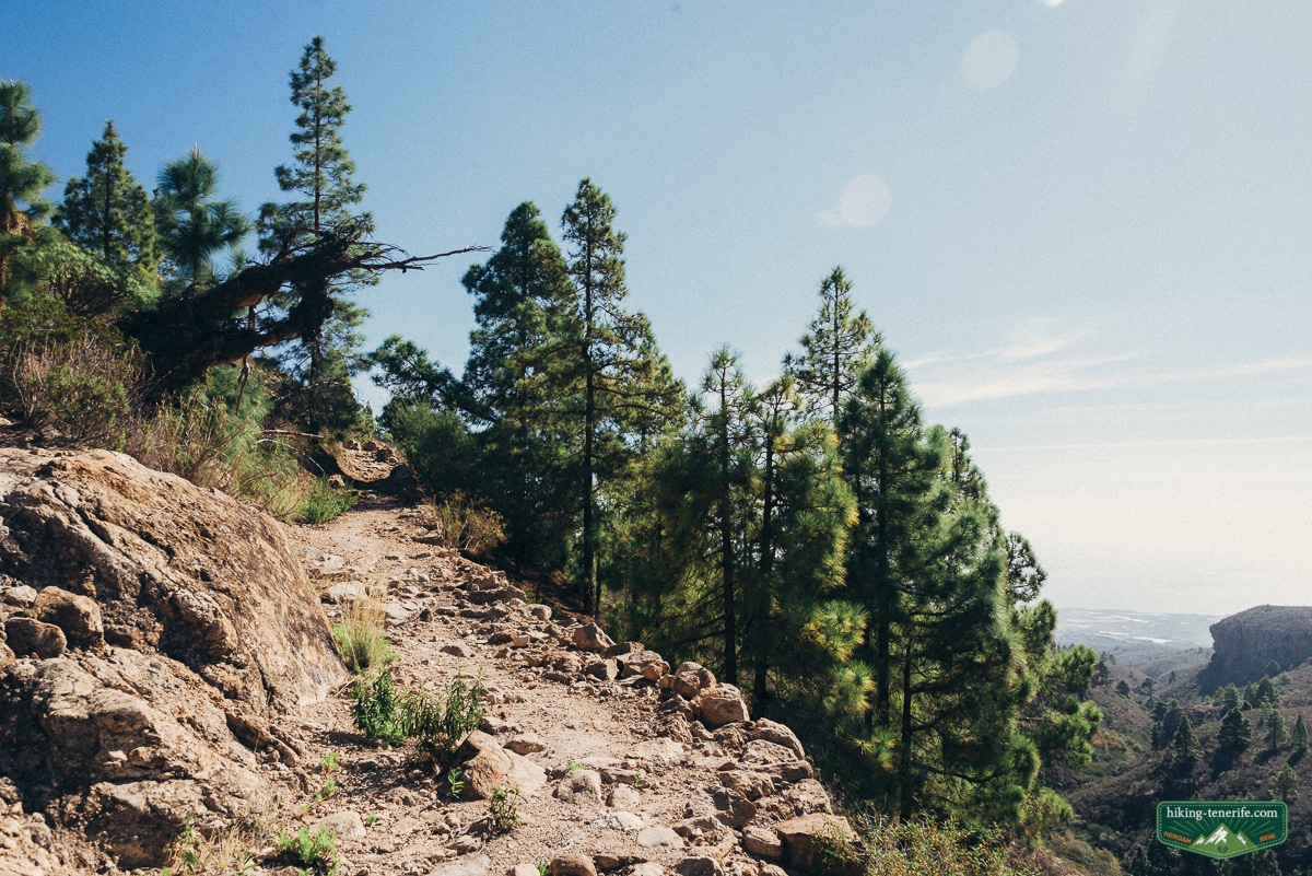
Camino de Ifonche route facts
The Camino de Ifonche is the historical path linking the Ifonche area with La Quinta, one of the old settlements in the Adeje landscape.
Adeje’s municipal record gives 6.4 km, about 2 hours 30 minutes, 523 m of ascent and 627 m of descent. It classifies the walk as a travesía, a point-to-point route rather than a circuit.
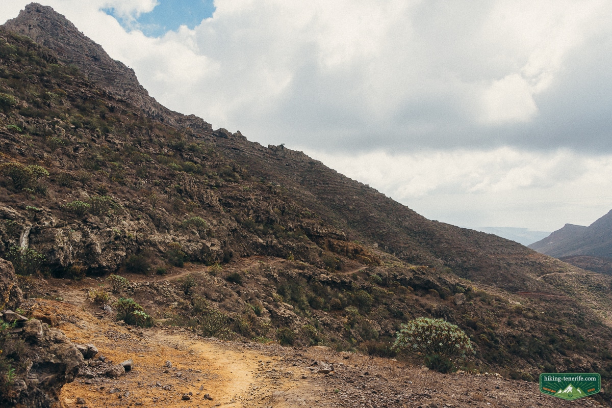
The path begins in the Ifonche Protected Landscape, crosses the head of Barranco del Infierno, enters pine forest near El Aserradero and continues toward La Quinta. The municipality says it crosses three protected natural spaces.
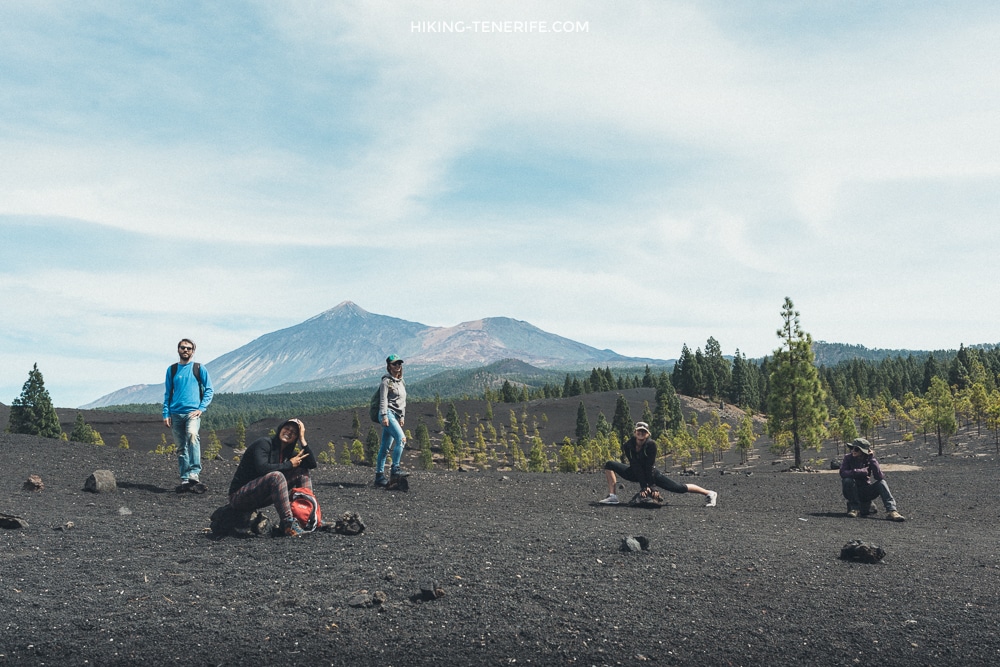
The route starts among pine forest and traditional rural scenery around Chasna.
Near El Aserradero, the Camino meets the Teresme path before continuing toward La Quinta. Check the current route line and signs because this junction matters.
The municipal page supplies a KML route file, but it does not promise parking, current waymarking condition, dog access, open status or a same-day bus return. Verify those separately.
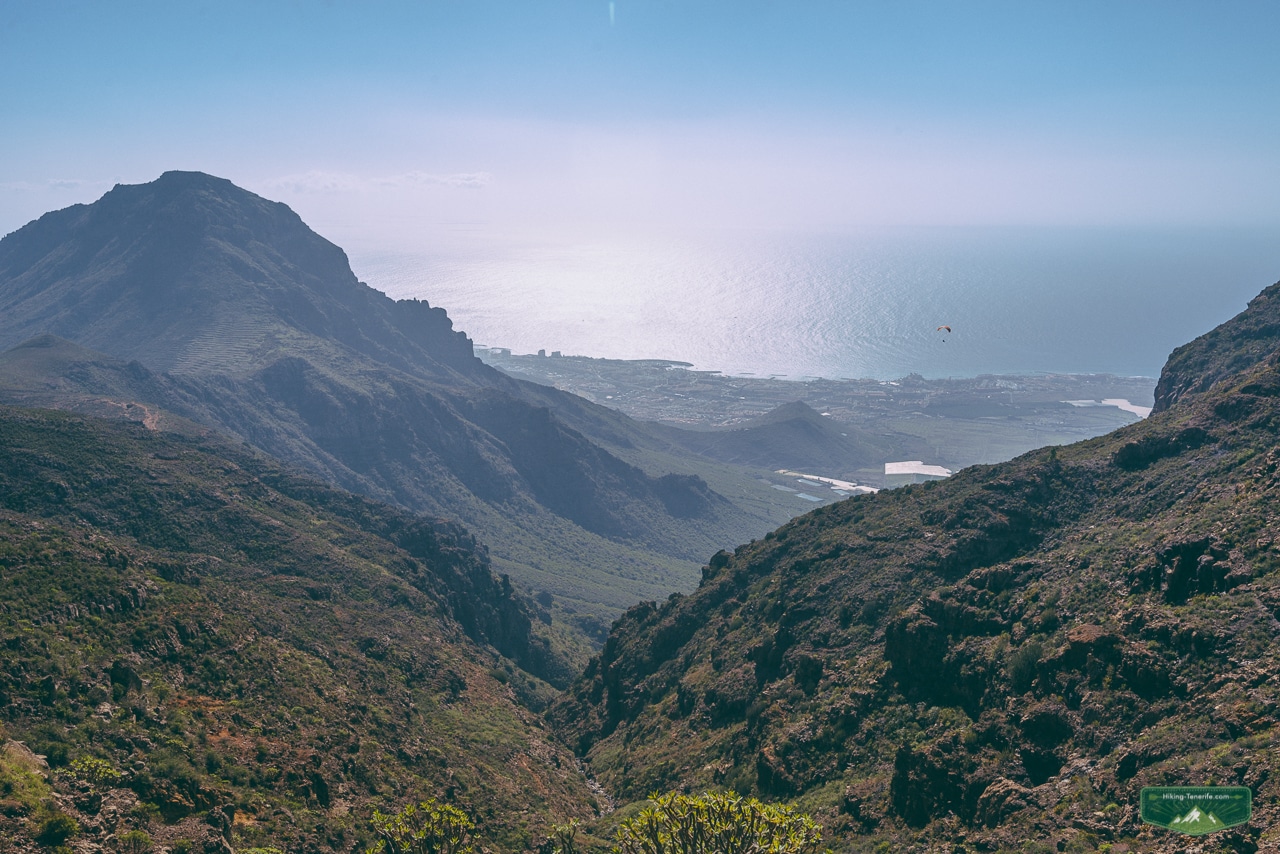
Common mistake: treating a saved route sketch as live navigation. Download the current TenerifeON information, carry an offline map and know where the walk finishes before leaving the car.
The old gorge loop is inspiration only
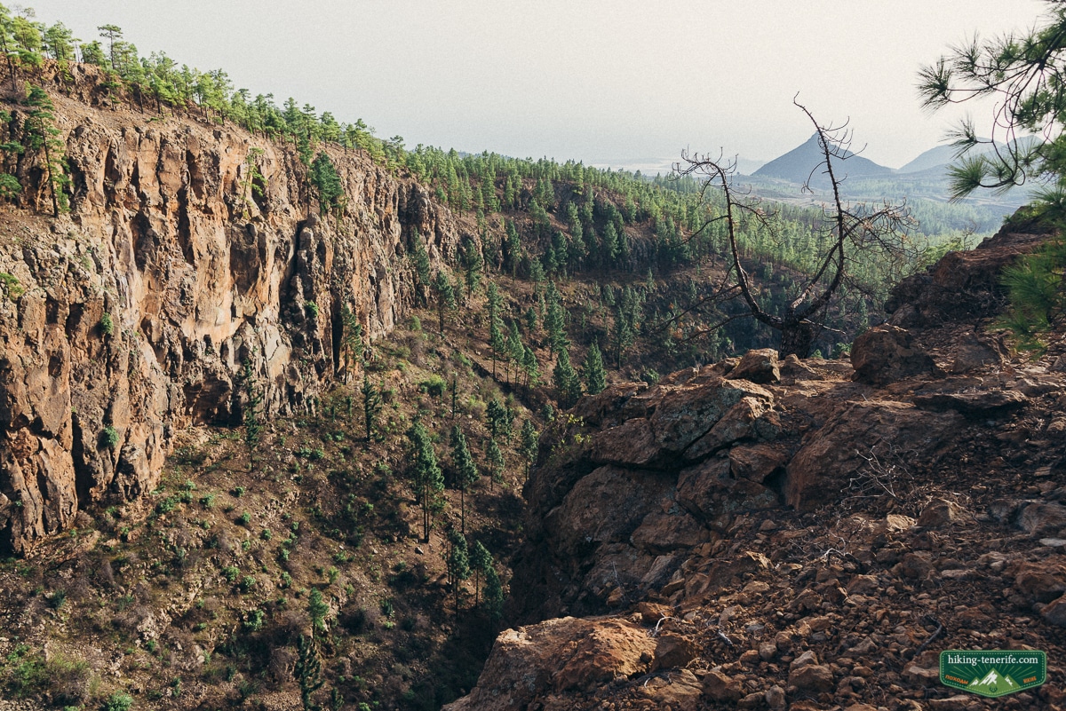
The longer loop is the atmospheric version. Forest first. Mountain scenery later. Then a large ravine, echo, birds lifting from the rocks, a stream and a small bridge where a break feels earned.
I like this kind of day. It feels discovered rather than packaged. But that mood is not a navigation guarantee.
Local verdict: the old notes describe 11.68 km, five to six hours and elevations from roughly 992 to 1,388 m. No current municipal, Cabildo or Tenerife ON record was found for that exact loop, so these numbers are historical context, not instructions.
Do not improvise: a faint track, farm road, dry streambed or visible connector does not prove public access. Respect gates, agricultural entrances, protected ground and any closure sign.
Safety rule: do not enter the undocumented loop because a stream is dry or an old video looks easy. Rain can change crossings, and private or protected access can change independently of the weather.
How to get there: road, parking and no-car reality
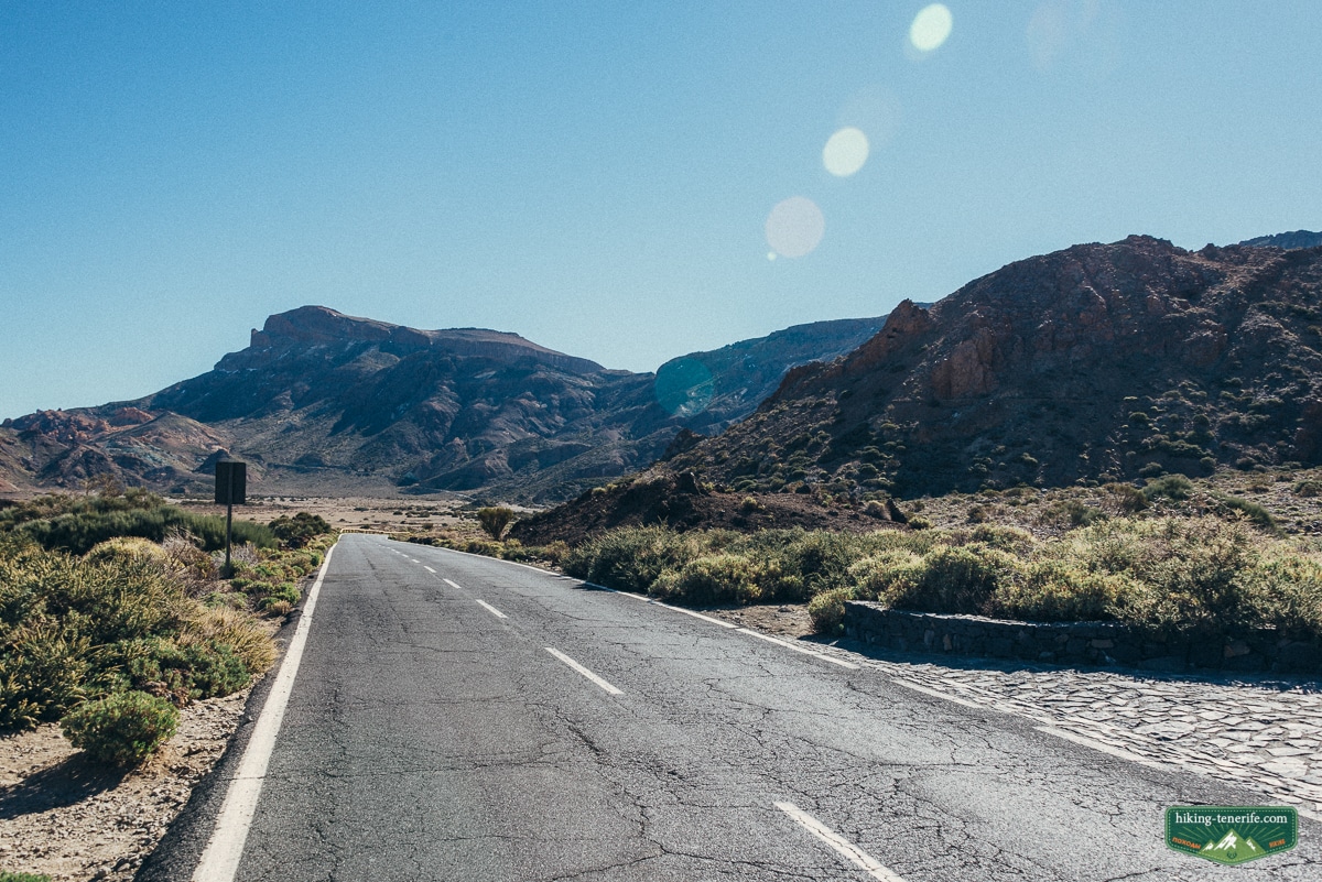
TF-567 from La Escalona reaches the Ifonche area. It does not identify one guaranteed Camino trailhead, so use the current municipal route file to confirm the endpoint you intend to use.
Allow time for a narrow, climbing road. Do not park on a bend, in front of a gate, beside a farm entrance or anywhere that forces a local driver to reverse for your holiday.
Parking is a “use what is legal and available” situation, not a promise. If the obvious space is full, do not invent a second one on private land. Start earlier, shorten the plan or return another day. The mountain will not be offended.
No-car reality: TITSA line 482 serves an Ifonche stop on the Vilaflor, La Escalona, Arona and Los Cristianos corridor. Check the live timetable, but do not confuse reaching Ifonche with solving the return from La Quinta.
The Camino is point-to-point, so check both endpoints and the last practical connection before leaving your base. Do not depend on an unbooked taxi appearing in a quiet mountain area after dark.
Distance, time, terrain and difficulty
Use 6.4 km, 2 hours 30 minutes, 523 m ascent and 627 m descent for the municipal Camino. The distance looks modest, but the climb, descent and point-to-point return make it a proper mountain walk.
Expect climbs, uneven ground, exposed sections, rural tracks, pine shade, loose rock and confusing junctions.
| Question | Honest answer |
|---|---|
| Is it circular? | No. Adeje classifies the Camino as a point-to-point route. |
| Is it flat? | No. The official figures include 523 m ascent and 627 m descent. |
| Is it marked? | The municipal route is part of the local trail network, but current waymarking condition was not independently verified. Carry the live route file. |
| Is it for beginners? | Only for walkers comfortable with uneven mountain ground, sustained ascent and a pre-arranged return. |
| Can I bring a dog? | No current route-specific permission was verified. Check the protected-area and trail rules before bringing one. |
Local verdict: 6.4 km does not mean easy. Heat, wind, cloud, uneven ground and the 627 m descent can make this demanding, especially when the return transport is still unresolved.
Best season, weather and water
Cooler months are usually kinder for walking. Winter still does not make the mountain automatic.
The south coast can be bright while Ifonche is cloudy, windy or damp. In summer, start early or choose the short hamlet visit instead of forcing the long loop through midday heat.
Current check: open the AEMET forecast for Arona, Tenerife ON and Canary Islands emergency alerts before leaving.
At the 30 July 2026 editorial check, Tenerife remained under preventive wildfire measures that prohibited fire and spark-producing activity while allowing trail transit. Conditions can escalate, so the live status overrides this dated note.
Local detail: do not promise yourself a river. Tenerife streams can be seasonal, and water conditions can change after rain.
Carry your own drinking water. Do not build the day around a photo of a pool that may be dry, muddy or unsafe.
Who should do it – and who should choose something else
If you already enjoy long walks on uneven mountain paths, Ifonche can be an excellent south-Tenerife choice.
It gives you rural scenery, protected-landscape context and a sharper sense of the island than another resort promenade.
For families, use the municipal Camino only with experienced young walkers who can handle sustained ascent, uneven ground and a long descent. Resolve the point-to-point return first.
It is not a buggy route. It is not my first choice for toddlers. For a wider family plan, use my Tenerife with kids guide before turning a mountain day into a family referendum.
If you want a no-car holiday, a flat walk, guaranteed shade, an accessible path or a reliable café at every turn, choose a different day. The South Tenerife activity guide is better for comparing beach, town, boat and mountain options honestly.
Local verdict: Ifonche suits confident walkers who can change plans. It is a poor place to prove a point to tired children, bad weather or an empty fuel gauge.
What to pack and what to do if conditions change
Take grippy walking shoes, water, food, sunscreen and a hat. Add a warm layer and waterproof layer when rain is possible.
Carry a charged phone, offline route information, a small first-aid kit and enough battery for a changed plan. Tell someone where you are going. Start with daylight in hand, not optimism.
Turn back rule: stop if the road is closed, Tenerife ON shows an incident, fire measures restrict access, visibility disappears or the group is already too hot. A short Ifonche landscape visit is a better result than an improvised route.
How to build a half-day or full-day plan
Half-day: walk the municipal Camino only when its endpoint and return connection work. Otherwise visit the Ifonche hamlet and protected landscape without forcing a trail.
Add a slow meal toward Adeje or Arona, then descend before mountain weather or fading daylight makes the road less pleasant.
Full day: start early, walk one verified route, allow real pauses and keep the evening simple.
Do not combine the Camino with Teide, Masca or several coastal viewpoints. If Teide is the real plan, use the Teide National Park guide and give it another day.
If you want a nearby second mountain decision, compare this with the Roque Imoque hike from Arona. Roque Imoque is close enough to be a useful cluster comparison, but it is not a reason to merge two route intents into one exhausting day.
For a simpler south base, Los Cristianos is the practical no-car reference.
Use Playa de las Américas for central resort energy. Use El Médano when wind and a less glossy town matter more. My where to stay in Tenerife guide compares the wider base decision.
Still comparing south Tenerife days? Use the free local map to keep Ifonche, Roque Imoque, Barranco del Infierno and the coast as separate decisions.
Nearby routes are separate decisions
If the weather changes or you simply want to use the island better, keep the next day geographically sensible. The best hikes in Tenerife guide helps you compare route difficulty and landscape rather than collecting random pins.

The Roque Imoque hike is a separate Arona route, not another name for the municipal Camino de Ifonche. Keep its start, distance and navigation advice on that specialist page.
Barranco del Infierno is also separate. Use the controlled-route guidance in the best hikes in Tenerife guide, then check the official reservation site before visiting.
For broader selection, use the Tenerife hiking routes hub. For non-hiking alternatives near your base, use the South Tenerife guide.
Ifonche Tenerife hike FAQ
These are the questions I would answer before sending a friend into the Ifonche hills.
What is the Camino de Ifonche?
The Camino de Ifonche is a municipal point-to-point walking route between the Ifonche area and La Quinta. Adeje gives 6.4 km, about 2 hours 30 minutes, 523 m ascent and 627 m descent.
How long is the Camino de Ifonche?
The verified municipal route is 6.4 km and about 2 hours 30 minutes. It is not circular, so the return plan can add significant time and effort.
Can I reach Ifonche without a car?
TITSA line 482 serves an Ifonche stop, but the municipal Camino finishes at La Quinta. Check the live timetable and both endpoints because reaching Ifonche does not solve the point-to-point return.
Is the Camino de Ifonche suitable for children?
It may suit experienced young walkers who can manage uneven ground, 523 m of ascent and a long descent. It is not a buggy or toddler walk, and the return must be arranged first.
Is the Camino de Ifonche open now?
This article cannot promise live access. Check Tenerife ON, Adeje’s current route information, weather, fire measures and road conditions on the day you plan to walk.

