

Montaña Roja is one of the best short outdoor things to do around El Médano when the wind and heat are behaving.
The honest version is less glamorous. This is an exposed walk in a protected volcanic reserve. It is not a paved promenade with a volcano conveniently placed at the end.
My verdict: walk it if you want a proper small mission, big coast views and a short steep climb. Skip the summit if strong gusts, glare, poor visibility, tired legs or a rushed bus return are already part of the plan. Beautiful, yes. Effortless, no.
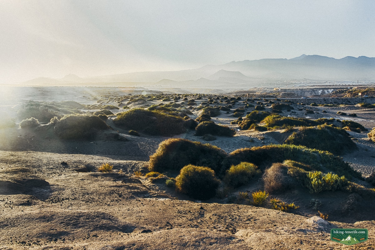
This guide keeps the original route’s local idea: leave El Médano, follow the coast and promenade, reach the red volcanic cone, then return by the marked route.
Reserve signs, access points and route cards describe more than one outing here. Older maps combine several different starts and loops.
Quick answer: is Montaña Roja worth the walk?
Yes, if you like short volcanic walks with no guaranteed shade, water or silence.
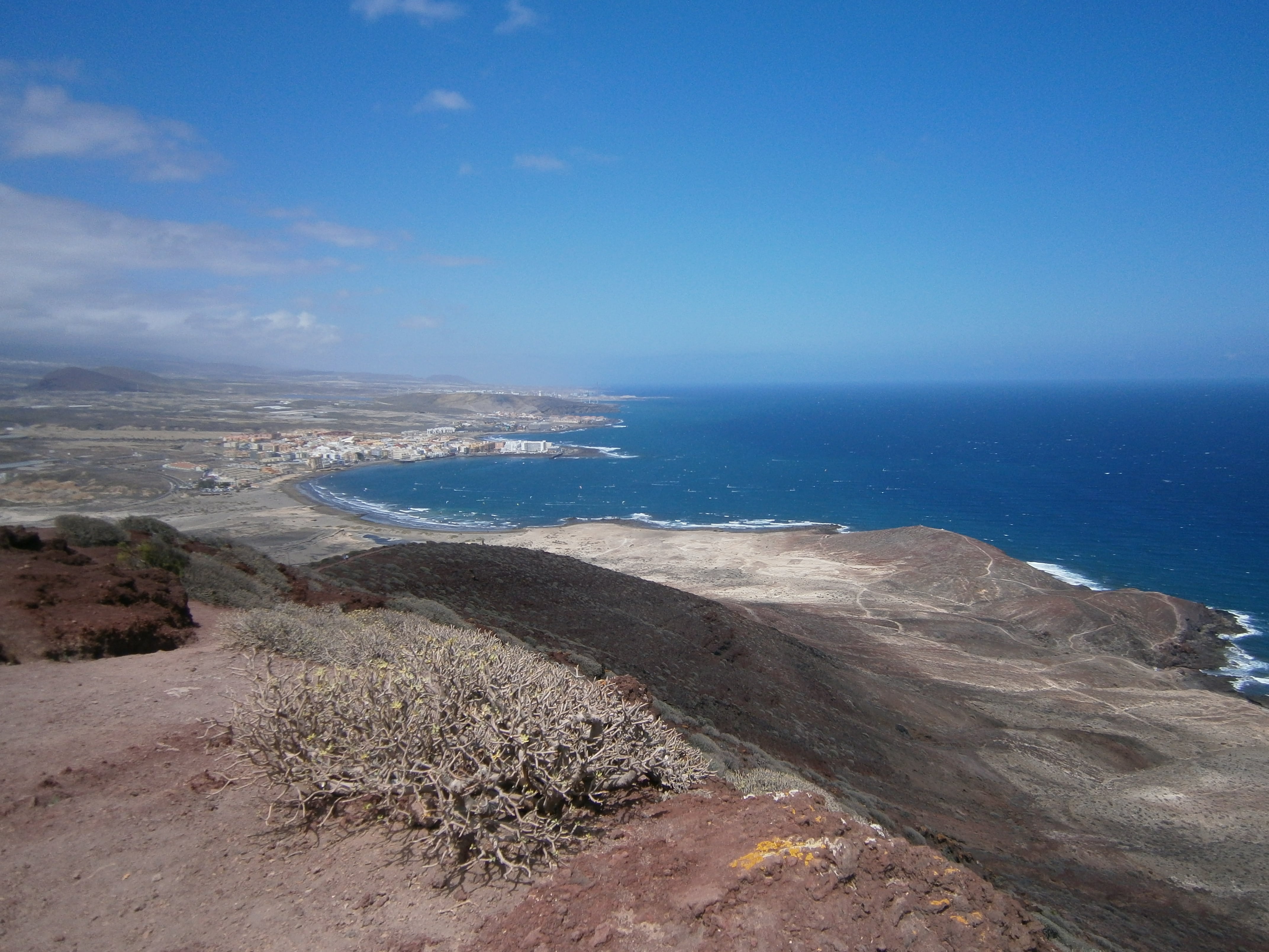
The cone stands beside La Tejita, west of El Médano, inside the Montaña Roja Special Nature Reserve, officially the Reserva Natural Especial de Montaña Roja. The reward is the changing view over El Médano, La Tejita, the airport and the south coast rather than a long mountain day.
| Route decision | Official planning facts |
|---|---|
| El Médano reserve circuit | Marked circular route, 4.9 km, about 40 m ascent, starting and finishing in El Médano |
| Montaña Roja summit spur | Marked linear ascent, 1.2 km one way, about 144 m ascent, from the reserve circuit to the 171 m summit |
| Combined outing | Longer than either card alone; choose the exact marked route at the junction instead of trusting one universal app total |
| Terrain | Promenade and coastal path on the circuit, then loose volcanic ground and a short steep exposed climb |
| Best for | Steady walkers, photographers and confident older children in suitable conditions |
| Car or no car | Both are possible; designated parking and the line 470 return need a day-of check |
The important distinction: a short viewpoint climb from the trailhead is not the same outing as walking from central El Médano and completing a coastal loop. Mapping apps and older route cards measure different versions. Choose your start before you choose your shoes.
Choose your start before you choose your shoes.
What route is this, exactly?
The mountain is the reddish cone that most people recognise from the airport approach. The route is not a summit scramble and it is not a secret trail.
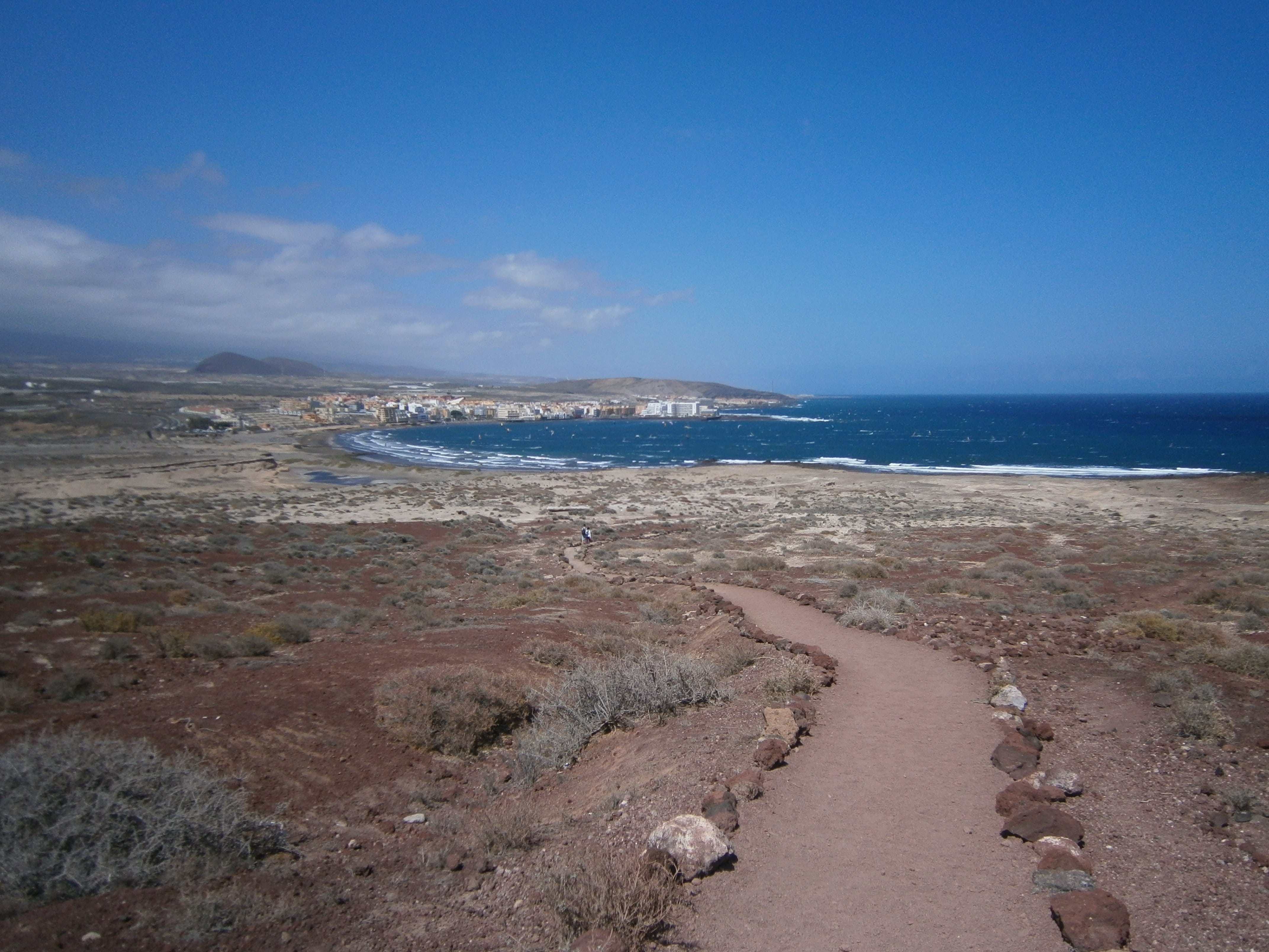
The useful version follows the established pedestrian approach from El Médano towards the reserve. Then it takes the marked uphill path to the viewpoint and returns without inventing a shortcut.
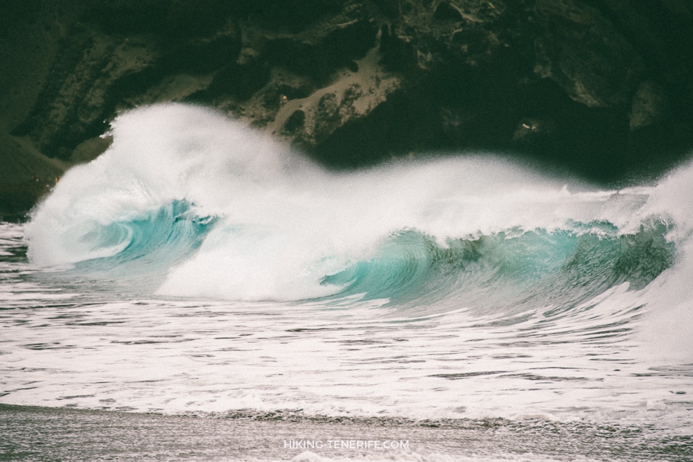
Before you treat the beach as the easy part, look at the water too. La Tejita can be rough when the cone looks inviting.
The official Granadilla trail guide separates two marked routes. The El Médano reserve circuit starts and finishes in El Médano, covers 4.9 km and records about 40 m of ascent.
The summit path branches from that circuit. It is a linear 1.2 km ascent with about 144 m of climbing, ending at the 171 m summit before you return the same way.
Do not combine old GPX totals into one official promise. If you add the summit to the circuit, your outing is longer than either route card alone and depends on the exact junctions you follow.
If you want more marked routes after this one, my best hikes in Tenerife guide is a better starting point.
Choose your version: use the El Médano circuit when you want a marked start and finish in town. Use the summit spur when the 1.2 km climb from the circuit junction is your goal. If you combine them, follow the current signs instead of treating an old GPX total as official.
The map is not the route. The marked path is.
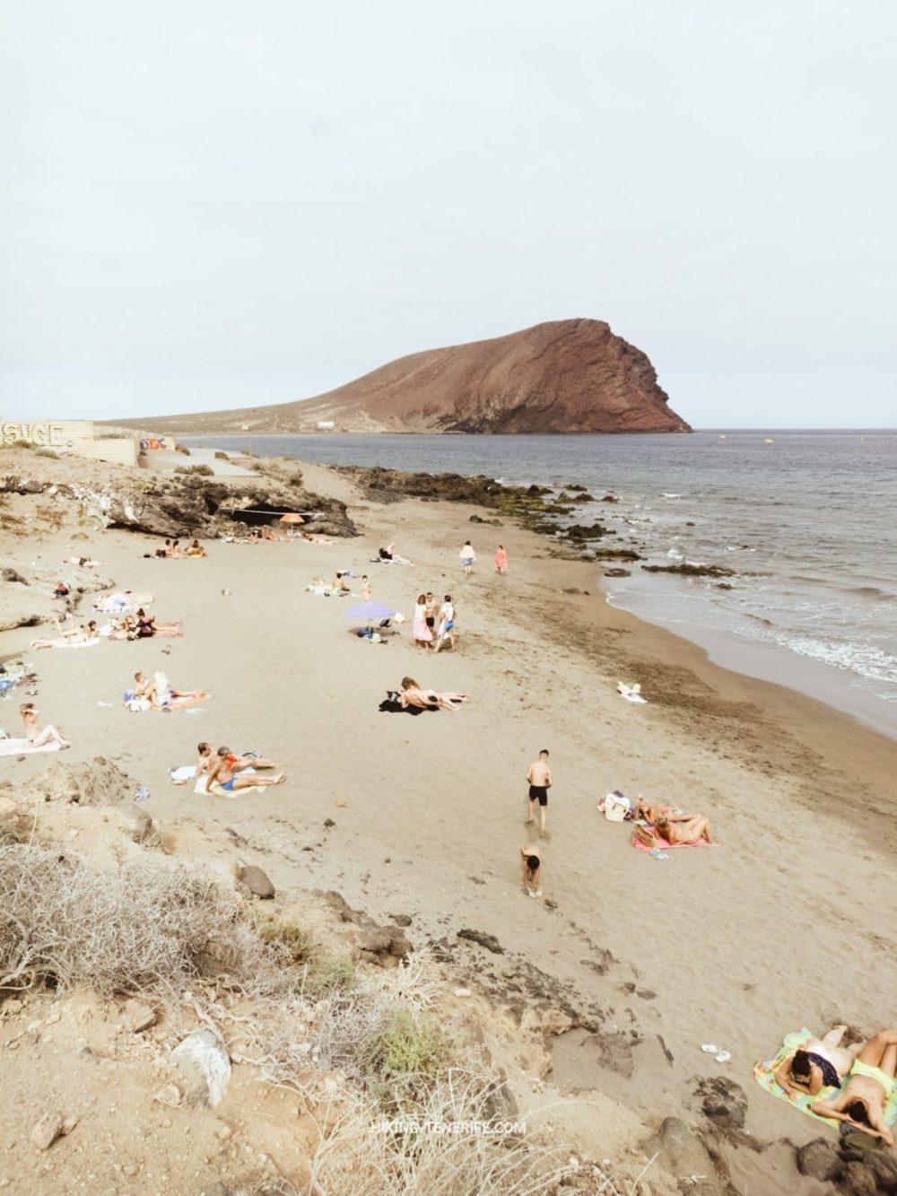
Starting points, parking and getting there
From central El Médano: leave town along the seafront and wooden promenade towards Playa Leocadio Machado and the Montaña Roja side.
This is the most natural no-car version. It feels like a walk from town rather than a drive to a viewpoint. Allow extra time for the approach, the climb, photographs and the return.
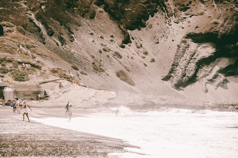
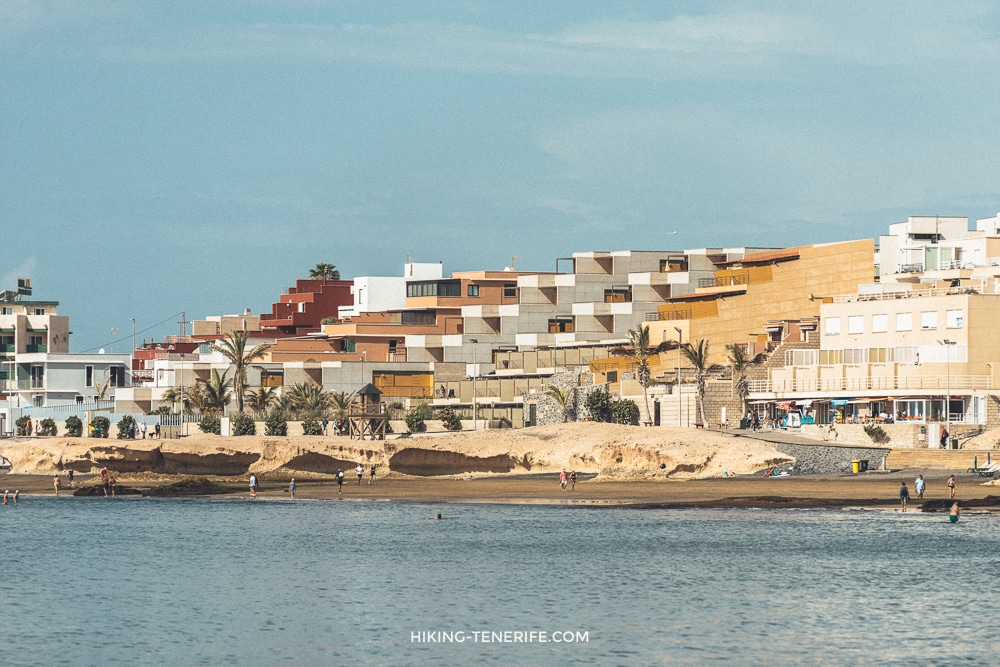
This is the beach-side scale of the mountain. It looks close from the sand. The reserve still adds loose ground, wind and a real return walk.
By car: official Tenerife visitor information points to the TF-64 and TF-643 corridor and identifies designated parking at El Tapao and La Tejita.
Park only where signs allow. Do not drive across dunes, onto reserve tracks or onto a roadside edge that happens to offer a better photograph. If you still need a vehicle, see my Tenerife car hire guide before making this a driving day.
From La Tejita: this gives you the shorter mountain approach. It is still exposed and not a guaranteed easy beach add-on.
The beach, reserve and road are separate decisions. Check the path, sea state, wind and any barriers when you arrive.
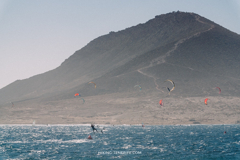
From Los Cristianos or Costa Adeje: driving is usually the simplest option, but plan for the south-coast road rather than a magical straight line.
Without a car, check TITSA line 470 to El Médano or La Tejita and confirm the return before setting off. Timetables and stops can change, so do not make the last bus part of your summit strategy.
From Santa Cruz or La Laguna: this is a long public-transport day and a tiring drive for a short cone.
I would combine it with a wider south itinerary only when the route, daylight and return are already comfortable. Otherwise choose a north-side hike instead of crossing the island for one exposed hill.
No-car rule: if the return timetable makes you rush the descent, turn the outing into La Tejita or El Médano at ground level. A lower view is not a failed mountain story.
Local detail: El Médano can feel lively and breezy at sea level. On the cone, the same wind has nowhere to hide. Pack for the slope, not only for the cafés.
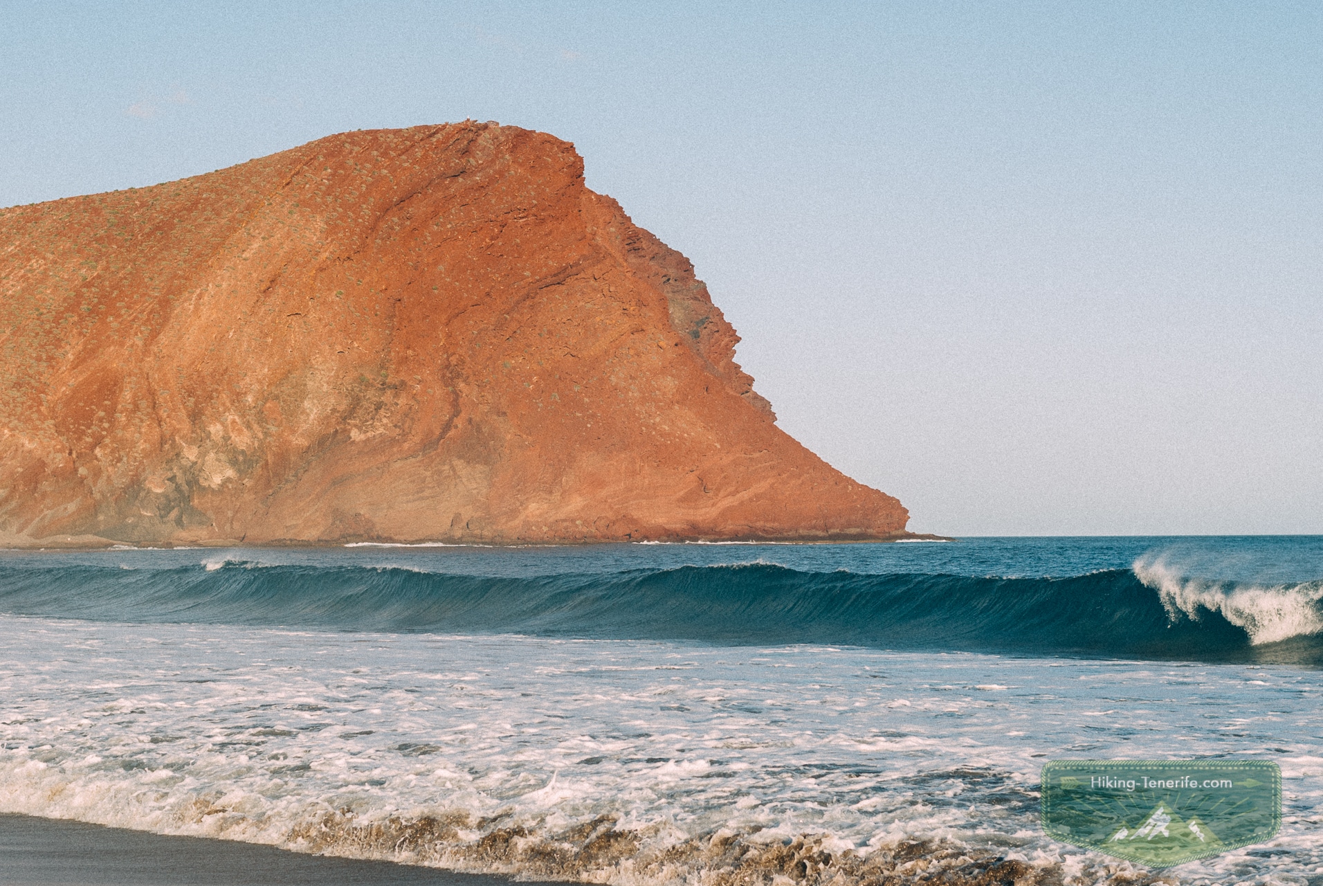
The walk, step by step
1. Leave El Médano along the coast. The opening kilometres are the generous part of the route: town, sea air and a broad pedestrian approach.
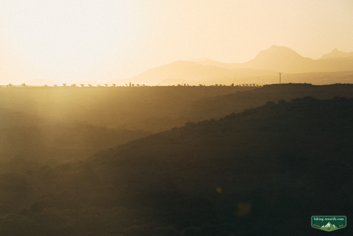
This is where you notice the wind, the glare and how much water you should have brought before the climb starts.
2. Reach the reserve side without leaving the marked way. The ground becomes more volcanic and the landscape less manicured. Follow signs and the obvious pedestrian route.
Do not cut across planted or sandy areas because a faint line looks quicker on a phone.
3. Take the short steep uphill section. The cone is not high by Tenerife standards, but the slope arrives quickly. The surface can be loose and uneven, so shorten your steps and let faster walkers pass.
The point is to reach the view with enough legs left for the way down.
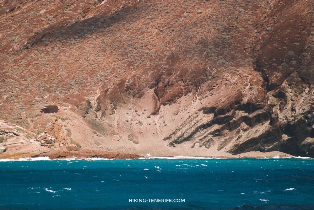
4. Stop at the sensible viewpoint. You can see El Médano, La Tejita, Tenerife South Airport and a long section of coast.
The best photograph is not always the highest or most exposed step. Keep the route clear and stay away from unstable edges.
From above, the cone looks cleaner than it feels underfoot. The view is generous. The surface is not.
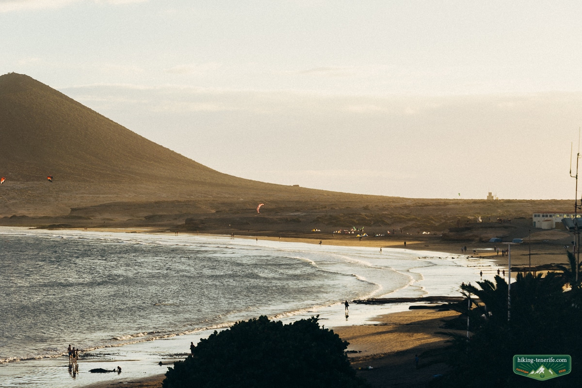
5. Return before the conditions become the route. If wind is pushing you sideways, heat has emptied your water, visibility is fading or the group is losing balance, turn around. There is no prize for squeezing a final summit minute out of a bad descent.
The way down is part of the hike.
What the red cone looks like in reality
Photographs make Montaña Roja look like a clean red pyramid rising beside a perfect beach.
On the ground it is a rough volcanic formation with open slopes, wind, pale glare, loose gravel and vegetation that is doing its best in a difficult place.
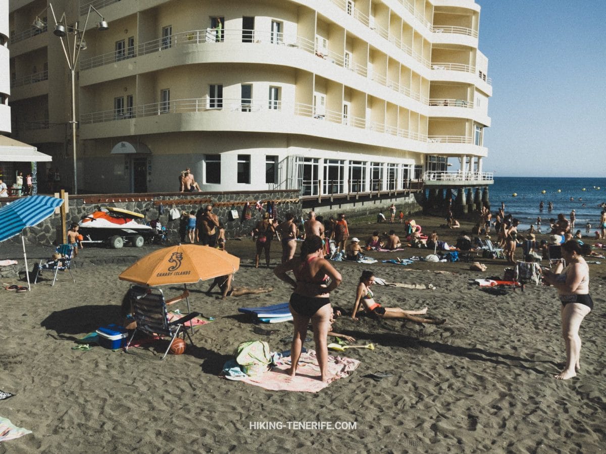
The reserve is about 166 hectares and follows roughly three kilometres of coast. It protects geological features, dunes, plants and bird habitat.
The cone is the obvious subject. The less dramatic ground around it is part of the reason the place still deserves care.
The view changes quickly with cloud and calima. On a clear day you may see far along the south coast; on a hazy day the airport, sea and cone flatten into the same bright colour. That is normal. The mountain has not failed the photograph.
This El Médano video adds useful context for the wind-sports coast. The page still stays focused on the daytime Montaña Roja walk rather than town or sunset planning.
Wind, heat, season and the best time to go
El Médano and La Tejita are famous for wind for a reason. A steady breeze can make the walk pleasant. Strong gusts can turn the ridge into a balance exercise and fill your eyes with sand.
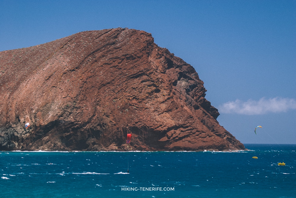
The beach may look inviting while the exposed cone feels unpleasant. Check both rather than trusting a resort postcard.
In warm weather, start early or later in the day, but leave enough light for the return.
Sunset is a nice option only when the route and return are already familiar and the group has a large time margin. Do not use darkness to disguise a late start.
Check the AEMET El Médano forecast, current Canary Islands alerts and Tenerife ON reserve information on the day.
Online pages can lag behind barriers or instructions on site. Current signs, closures and emergency directions override this article.
Turn back rule: if the wind makes the open ground uncomfortable, the route stops making sense, someone is running out of water or daylight is going, return to the last place you felt steady. The cone will still be red tomorrow.
A sunset is not a safety system.
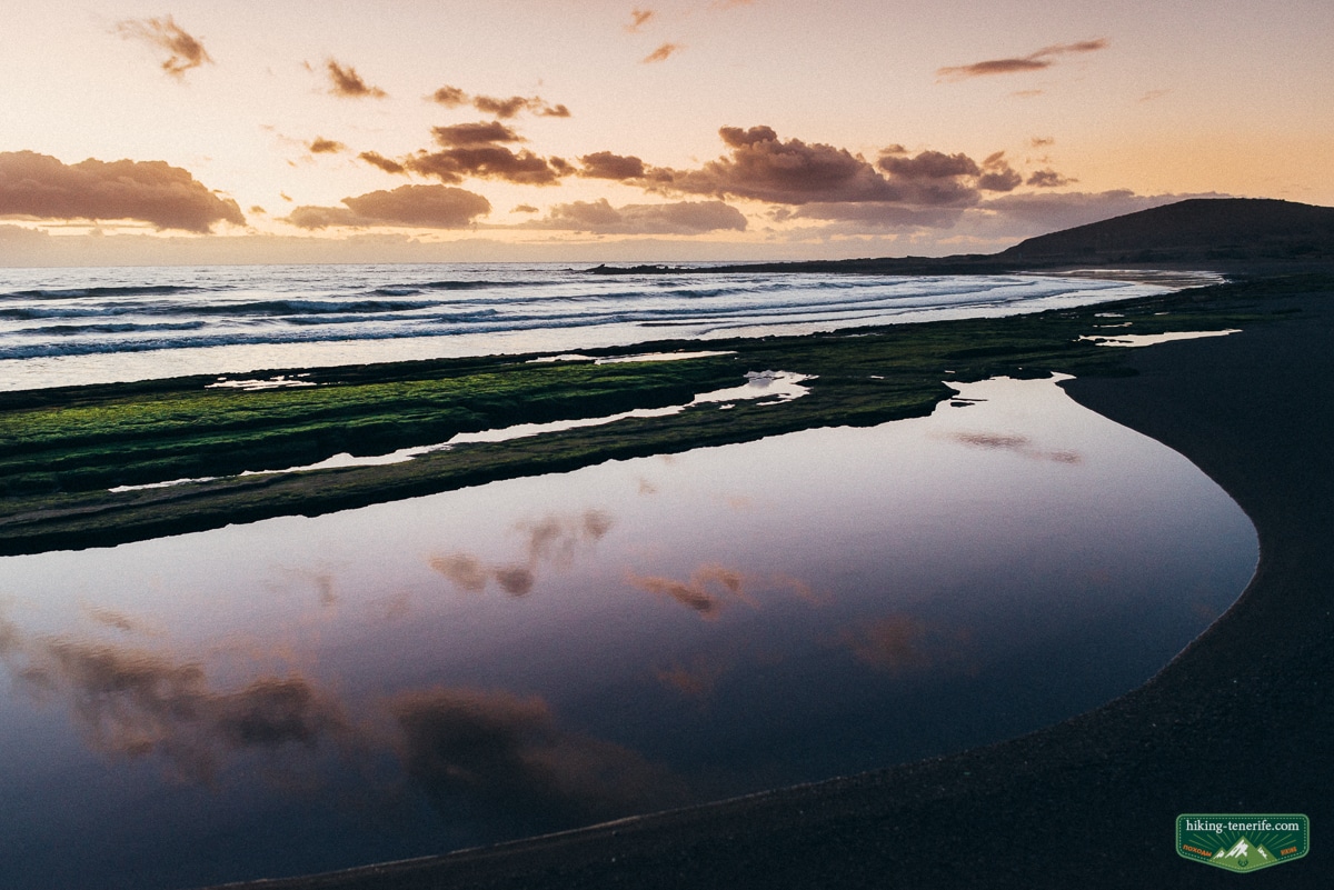
What to take and who should do it
Wear closed shoes with grip. Loose volcanic gravel makes pool shoes and smooth soles a poor choice, especially on the descent.
Carry more water than the short summit height suggests. There is no reliable shade or drinking water on the exposed route, and heat, dry wind and high UV can accelerate dehydration.
Add sun protection, a hat, sunglasses, a light wind layer, a charged phone and an offline map or saved route. A small torch is backup only, not permission to turn this daytime route into a late descent.
This suits regular walkers, confident older children and solo hikers who are comfortable reading signs and turning around early.
It is not a buggy route. I would not choose it for toddlers, people with poor balance, anyone needing guaranteed shade or anyone wearing pool-bar footwear as a philosophy.
Kitesurfers and windsurfers may enjoy the climb as a small training walk, but do not confuse fitness with suitable conditions. For equipment, lessons and wind decisions, use the separate El Médano kitesurfing guide.
Nature rules and common mistakes
The official reserve plan permits hiking on designated paths and prohibits off-trail movement except for specific official and coastal-transit exceptions. Stay on the marked network and do not collect volcanic material, damage plants or disturb birds.
Dogs must be leashed and kept on the paths. Bicycles are prohibited on the Montaña Roja ascent and outside enabled trails, while motor vehicles must stay out of the reserve except for official exceptions.
Do not light fires, leave rubbish or use the reserve for unauthorized camping. The reserve plan also prohibits radio-controlled aircraft activity, so do not launch a drone here without explicit current authorization.
Common mistakes: treating “near the beach” as “easy”, assuming the shortest map line is the legal path, leaving without water, trusting a sunset time instead of daylight, and parking where the reserve or road needs access. The red mountain has seen all of these already.
The dune is not spare foreground.
La Tejita is useful nearby context, not a guaranteed swimming stop.
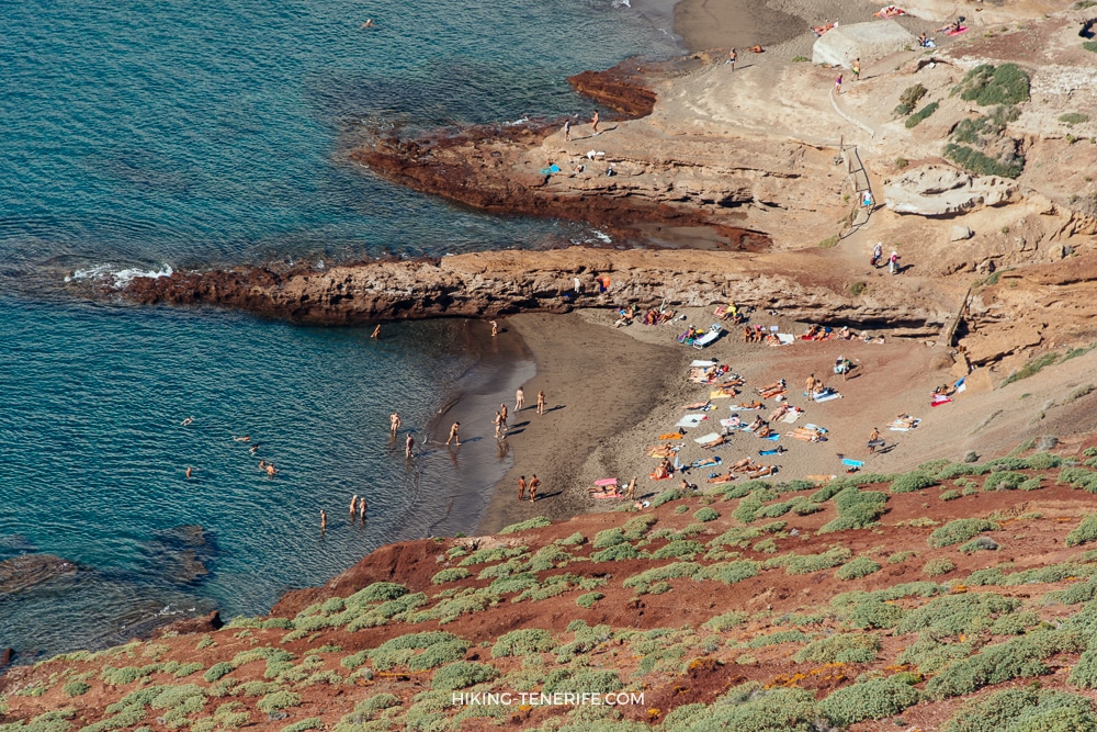
Wind, flags, waves and your own ability decide whether the sea is sensible. If the beach looks too exposed, stay on the route you planned or go back to El Médano for food and an easier exit.
How to combine it with nearby Tenerife plans
Keep this as the main activity of the afternoon, then eat or walk in El Médano.
If you want the sand and mountain together, read the separate La Tejita guide for beach conditions and access.
For an eastern beach alternative, Playa Pelada is a different coastal decision beside Montaña Pelada, not part of this route.
For a sunset-only decision, use the dedicated Montaña Roja sunset guide. This page stays focused on daylight route planning.
For a wider south-coast day, start with Things To Do In South Tenerife, then choose one sensible outing.
Save Teide for its own mountain day. Use Anaga or north Tenerife when you want greener, less exposed terrain. My broader Tenerife things-to-do guide helps with the island-scale version of that decision.
If you are staying farther south, the Los Cristianos guide and Playa de las Américas guide are better for resort logistics. If you are pairing a city day with a walk, La Laguna deserves its own time rather than a heroic cross-island detour.

One good route beats three rushed detours.
Planning more than this one walk? Use my free Tenerife map to group Montaña Roja, beaches, viewpoints and food stops without driving back and forth across the island.
Montaña Roja hike FAQ
These are the questions I would answer before leaving El Médano, not after the first steep section.
Where does the Montaña Roja hike start?
The official 4.9 km reserve circuit starts and finishes in El Médano. The separate 1.2 km summit spur begins where it branches from that marked circuit and ends at the 171 m summit before returning the same way.
How long is the Montaña Roja hike?
The marked El Médano circuit is 4.9 km with about 40 m of ascent. The summit spur is 1.2 km one way with about 144 m of ascent. A combined outing is longer than either official route card alone.
Is Montaña Roja suitable for children?
Confident older children who already walk on uneven ground may enjoy it in calm weather. It is not a buggy route, and strong wind, heat, loose gravel or a rushed return can change the answer quickly.
Can I hike Montaña Roja at sunset?
Sunset needs a separate timing and descent plan. Use the dedicated Montaña Roja sunset guide rather than turning this daytime route into a late improvisation.
Where can I park for Montaña Roja?
Official Tenerife visitor information identifies designated parking at El Tapao and La Tejita. Use signed spaces only, never drive onto reserve ground and do not assume a space will be available.

