
This interactive Tenerife map is the quickest way to see how beaches, old towns, volcanoes, viewpoints and walking areas sit together. Open a marker for a place guide, then use the planning notes below to turn scattered pins into a route that fits your base, weather and energy.
Local verdict: use the map to choose one good cluster, not to collect the whole island. Tenerife looks compact on a screen; ravines, mountain roads, parking and microclimates make a five-pin day feel very different on the ground.


Map note: zoom in to separate clustered points, then click a marker card to open its guide. As of 23 July 2026, the map shows 76 plotted points from 65 linked guides. Those marker guides currently open in Russian; use the English links in this article for the main planning decisions.
Tenerife map guide: contents
How to use the interactive map
Start by putting your accommodation roughly in the centre of the screen. Zoom to the part of Tenerife you can realistically explore that day. When several pins become one numbered cluster, keep zooming until individual markers separate. Click one marker, read the place name and guide card, then close it before opening the next. On a phone, a slow deliberate tap works better than trying to drag and select at the same time.
The useful sequence is: choose the day type, choose the region, save two anchor places, and add only one optional stop. Copy the exact place names into your normal navigation app and check the route order there. The map helps you discover points of interest; it is not live turn-by-turn navigation, a parking promise or a current trail-status board.
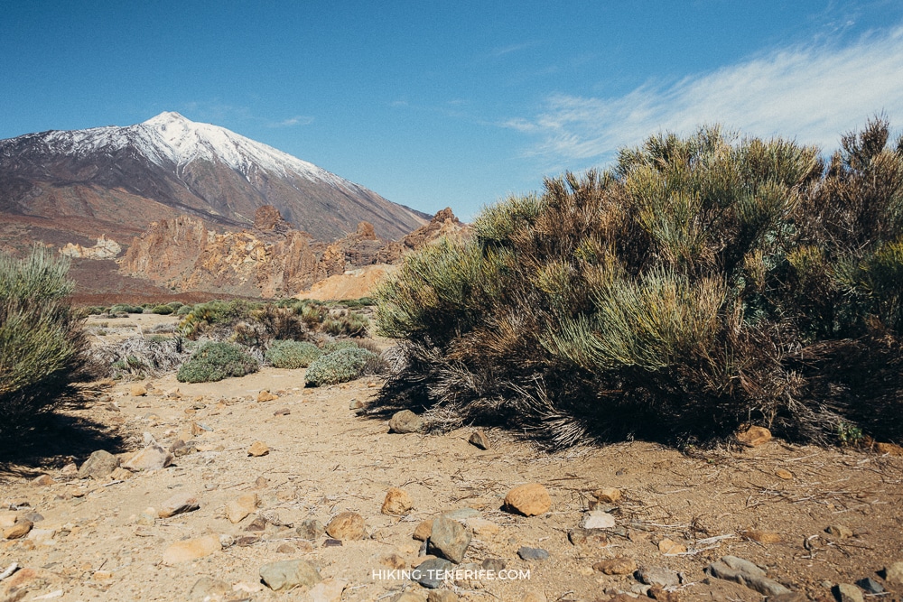
Do not trust visual distance alone. A beach pin and a viewpoint pin may look close while a ravine, one-way road or large altitude change sits between them. Teide is the classic trap: the road can be clear while the summit trail is restricted, cold or closed. A mountain plan needs weather, access and clothing checks, not simply a blue line from your hotel.
What is actually on this Tenerife map
Think of the following as a planning legend, not a clickable filter. The current map uses one general marker system and clustering; it does not expose a verified beaches-versus-hikes category switch. These are the kinds of places represented across the live marker set and the English guides around it.
| Planning category | What to look for | What to confirm |
|---|---|---|
| Beaches and natural pools | Sheltered resort beaches, black-sand coves, surf beaches and volcanic bathing places. | Flag, swell, wind, lifeguard coverage, stairs and local closure notices. |
| Hikes and forests | Anaga, Teno, Teide, pine forest and volcanic routes. | Official route status, permit, daylight, heat, footwear and return transport. |
| Old towns and local life | La Laguna, La Orotava, Garachico, markets and historic streets. | Parking zones, event closures, opening hours and steep or cobbled access. |
| Viewpoints and volcanoes | Roadside miradores, Teide landscapes and high ridge views. | Cloud layer, wind, safe stopping space and mountain-road incidents. |
| Family activities | Promenades, gentle beaches, parks and shorter scenic stops. | Age and height rules, shade, toilets, tickets and realistic walking distance. |
| Food and markets | Farmers’ markets, town food stops and local produce. | Actual market day, morning closing time and holiday schedule. |
| Water and wind sports | El Médano, surf and kitesurf areas, boat and coast activities. | Operator, skill level, forecast, launch zone and cancellation policy. |
There are also legacy pins outside Tenerife and a few entries with several coordinates. That is part of the map’s history, not an invitation to squeeze another island into Tuesday afternoon. Read the title before saving a pin, and use this article’s regional choices when you want a Tenerife-only day.
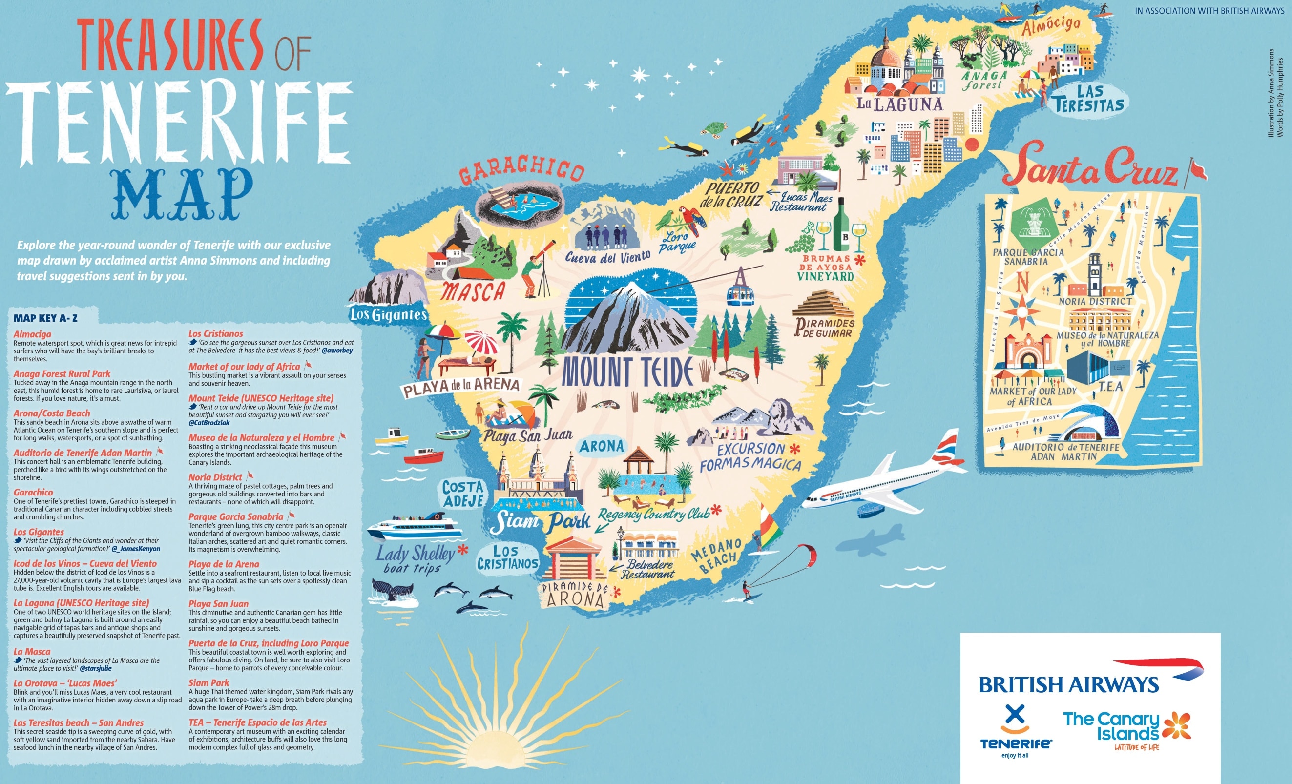
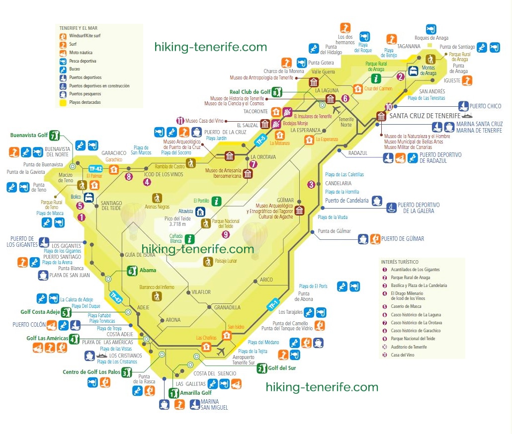
The illustrated Tenerife tourist map below is a cheerful orientation tool. It shows the island’s broad character well, but it cannot tell you whether a road is closed, a beach is rough or a trail needs a reservation. Pretty maps are allowed to be pretty; your route still needs grown-up checks.
Where to start: choose one island cluster
If this is your first visit, begin with your base rather than the most famous pin. South-coast accommodation makes the resort belt, El Médano and a Teide road day practical. A Puerto de la Cruz or La Orotava base suits the Orotava Valley, north coast and one deliberate Anaga or west day. La Laguna and Santa Cruz are strong for old-town, food and no-car plans, while a rural west base rewards slower Teno routes.
| Cluster | Good anchors | Avoid combining casually |
|---|---|---|
| South | Costa Adeje, Las Américas, Los Cristianos or El Médano. | Anaga plus the far west on the same day. |
| North | La Orotava, Puerto de la Cruz, Garachico or Icod. | A long south-coast activity before a north-town route. |
| Northeast | La Laguna, Santa Cruz, Anaga viewpoints or a current trail. | Too many Anaga coast and forest pins on winding roads. |
| West | Los Gigantes, Santiago del Teide, Masca area or Teno. | A permit hike, boat timing and sunset chase without margin. |
| High country | Teide caldera, approved viewpoints and one booked activity. | A summit plan plus a full coast circuit. |
Save one anchor that would make the day worthwhile even if everything else disappears. Then add a nearby meal, beach or town as the second anchor. The optional third pin should be genuinely removable. This is how the map becomes useful in cloud, queues or family mutiny instead of becoming a list of promises.
For a wider first scan, open my Things to Do in Tenerife guide. It helps you decide which experiences deserve a whole day before you start drawing lines between markers.
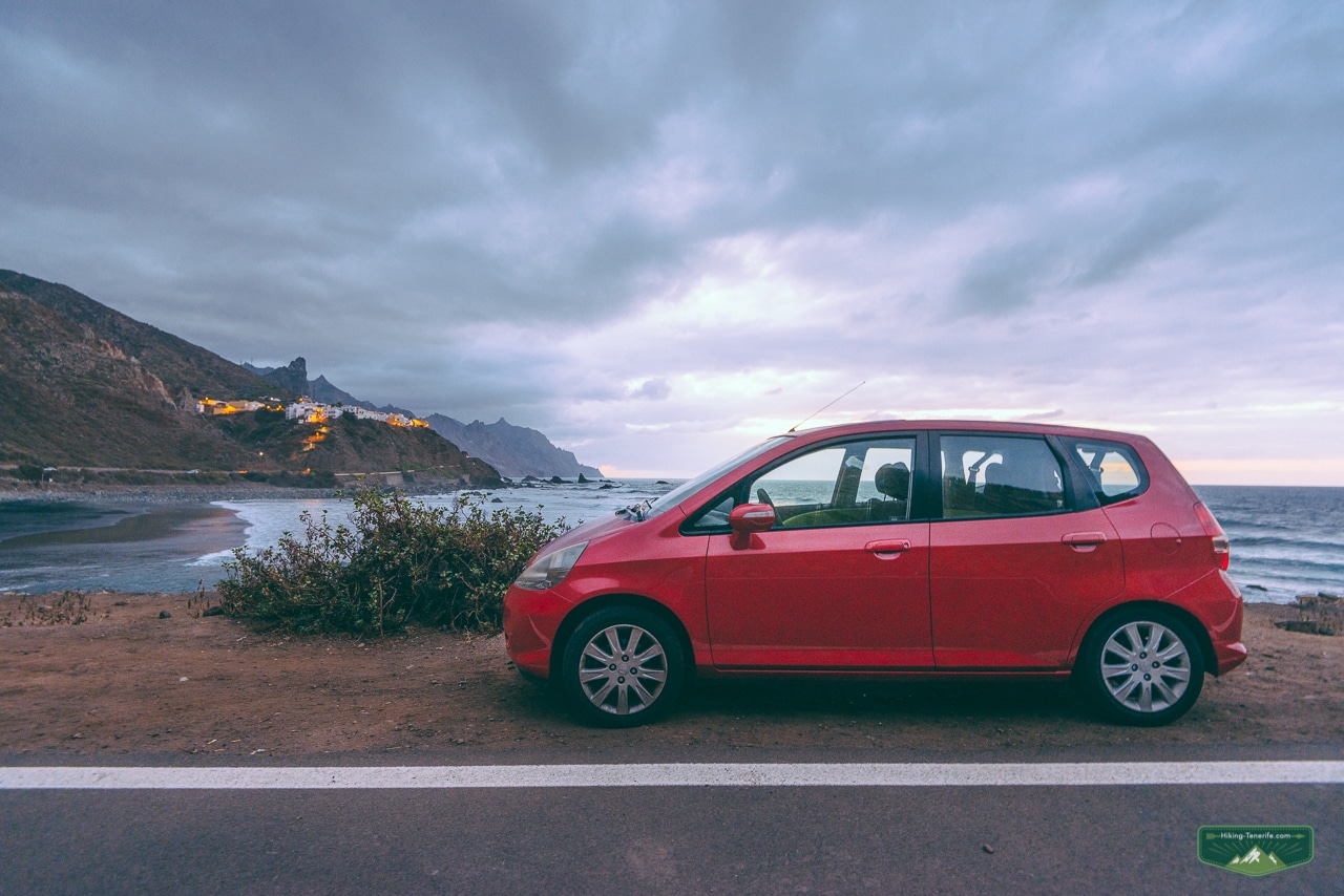
One day in the south, north, east or west
These are route shapes, not fixed itineraries. Reverse them when the forecast, event, booking or your starting point makes that smarter. Never follow an article’s order against a road closure or a sea-state warning.
South Tenerife: easy coast plus one character stop
Choose one resort-coast base, one beach that matches the day and one town with a different personality. This South Tenerife guide explains the wider choices; El Médano works when you want a walkable surf town, while its kitesurfing scene only belongs in your plan when the wind and your skill level agree.
North Tenerife: valley, old town and coast
Pick La Orotava or Puerto de la Cruz as the town anchor, then add one coast stop such as Garachico or a suitable beach. My North Tenerife guide gives the route logic and microclimate reality. Three old towns in one day usually means three parking searches and very little time inside any of them.
East and northeast: city, La Laguna or Anaga
Choose Santa Cruz and La Laguna for an urban day, or choose Anaga for a mountain day. Combining one old town with one accessible Anaga viewpoint can work; combining a city checklist with several remote trailheads is where the map starts lying by omission.
West Tenerife: cliffs, lava history and Teno
Choose either a Los Gigantes–Santiago del Teide shape or a slower north-west route around Garachico. Masca and Teno need current access checks and conservative timing. Keep sunset optional: driving a narrow road because the sky has turned orange is not the romantic Tenerife memory I recommend.
If you have 2, 3, 5 or 7 days
Fewer days require stronger editing, not faster driving. Keep one weather-flexible day whenever possible and choose contrast: coast versus mountain, town versus forest, busy resort versus local market. The table below is a decision frame; replace any anchor that clashes with a closure, permit, forecast or the needs of your group.
| Time | A useful shape | What to leave out |
|---|---|---|
| 2 days | One coast-and-town day near your base; one Teide or Anaga day if conditions fit. | A full island circuit and any remote stop added only because it is famous. |
| 3 days | Coast; high country; one north or northeast town-and-nature day. | Both Anaga and Teno unless one is already beside your base. |
| 5 days | South or local coast; Teide; north towns; Anaga or Teno; one flexible beach/food day. | Back-to-back long mountain driving without a recovery day. |
| 7 days | Local coast, Teide, Anaga, west, north towns, food/family day, weather-flexible repeat. | Filling the final day before you know which plan weather cancelled. |
For a first one-week visit, I would normally protect the Teide and Anaga days from each other, keep the west as its own route, and use the remaining days close to the coast or town where you sleep. This makes changes painless. If Teide is closed today, you move a coast day forward; you do not rebuild the entire holiday at breakfast.
With only two or three days, a good trip can feel incomplete and still be good. Tenerife is not a museum with a closing bell. Choose the places that match this visit, leave the far corner for another time, and enjoy lunch without checking whether the next marker has turned red in your spreadsheet.
Choose places by the day you want
A category becomes useful only when it answers a real question. Instead of asking which beach is “best”, decide whether you need calm water, surf, a promenade, black sand, easy parking or a wild coast. Instead of asking for the best hike, decide whether your group wants forest shade, volcanic exposure, a short viewpoint walk or a full mountain route.
| You want | Open these guides before saving pins |
|---|---|
| Beaches | Use the best beaches guide, then choose by wind, swell, access and facilities. |
| Hiking | Compare the best Tenerife hikes and confirm the exact route in Tenerife ON. |
| Old towns | Choose La Laguna, La Orotava or Garachico by region; do not collect all three as photo stops. |
| Markets and food | Check the live day and location in the Tenerife markets guide. |
| Family time | Filter ideas through the Tenerife with kids guide before promising a long day. |
| Water sports | Choose a qualified operator and current conditions, not a marker that happens to face the ocean. |
Viewpoints are best treated as a route bonus. Save the view you genuinely want, then check whether there is a legal, sensible place to stop. On mountain roads, the wrong-side viewpoint is not “two minutes away”; it may mean continuing safely until you can turn around.
Food and markets deserve their own time. A farmers’ market is usually a morning anchor, not an interchangeable pin after a long hike. Buy what you can carry, respect producers and avoid turning a small village street into your private parking strategy.
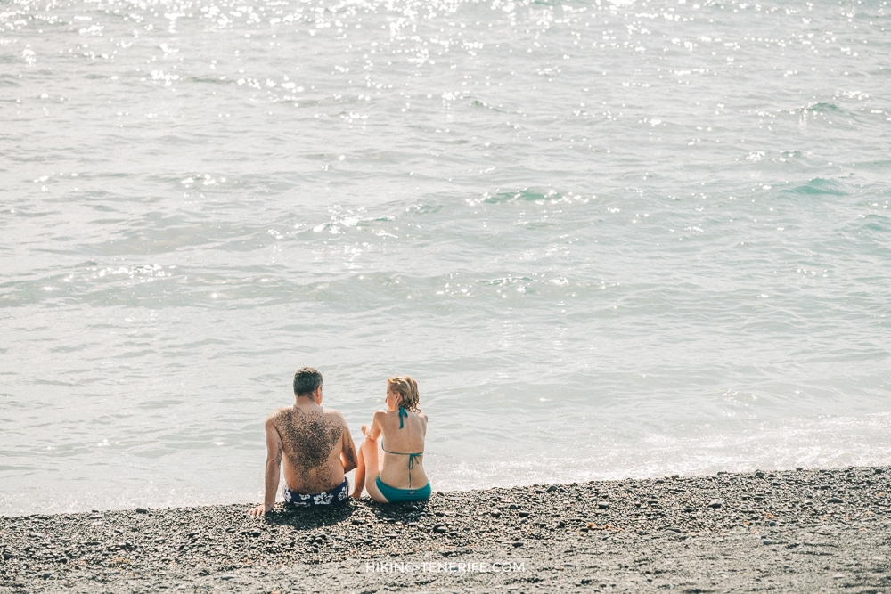
For swimming, the map cannot read the Atlantic. Check the beach flag and local notice when you arrive. Natural pools are especially easy to misread online: beautiful stone edges do not guarantee safe entry, and rough sea can make a familiar pool dangerous.

Tenerife map planning with or without a car
With a car, group stops by road corridor and altitude. Put the furthest or most weather-sensitive anchor first, keep the return simple and never rely on parking beside a pin. A rental car gives flexibility; it does not make Masca roads wider, Teide warmer or Anaga car parks larger.
Without a car, start with the live TITSA journey planner and your actual accommodation. Build around direct connections, walkable towns, promenades and one organised mountain day. La Laguna, Santa Cruz, Puerto de la Cruz, Los Cristianos and the south resort corridor can all work, but a remote trailhead with one fragile return connection is not a relaxed holiday plan.
The transport map below explains the island’s shape and main corridors. Treat it as orientation, not a timetable. Routes, stops and operating patterns change; search the exact outward and return journey for the date and time you need.
A mixed plan is often best: use buses and walking for local days, then book one appropriate tour or hire a car briefly for places that would otherwise consume the day in transfers. You do not receive a medal for forcing every viewpoint into public transport, and you do not need a car simply because someone online had one.
Families and accessibility
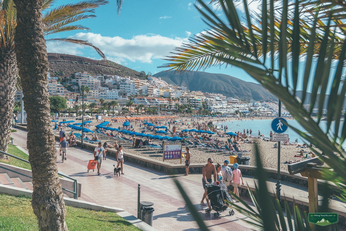
For children, choose fewer pins and better pauses. A useful family map marks shade, toilets, food, an easy exit and the nearest boring-but-reliable alternative. Pair one big attraction or landscape with a beach, promenade or town square where nobody needs to perform enthusiasm.
Accessibility is place-specific. A marker cannot show every kerb, steep street, cobble, sand access, lift outage or accessible toilet. Historic towns such as La Laguna and La Orotava can combine level streets with awkward sections; viewpoints may have a short paved approach or only rough roadside ground. Check the exact facility or municipality and call ahead when access is essential.
Pushchairs and mountain routes are rarely solved by the word “easy”. Look for surface, gradients, barriers and weather exposure, not a generic difficulty label. For sensory needs or anyone who tires quickly, arrive earlier, keep one quiet escape and avoid turning a flexible day into timed bookings from breakfast to sunset.
Family safety also means saying no to the seductive pin. If the sea is rough, the trail is hot or the car park is overflowing, use the alternative you saved in advance. Children usually forgive a changed beach; they are less impressed by adults arguing beside a closed gate.
Permits, closures and protected areas
A marker is never proof of access. Before a protected-area day, check Tenerife ON, the Cabildo’s official platform for routes, reservations and current closures. This is especially important around Teide, Anaga and Teno, where wildfire measures, maintenance, weather, erosion or capacity rules can change what is possible.
Current-access note, checked 23 July 2026: the Telesforo Bravo summit trail requires a Tenerife ON reservation, and additional Teide walking routes can have their own access controls. Do not assume a cable-car ticket includes a summit permit or that driving into the national park authorises a hike.
Use the Teide guide to understand altitude, cable-car and route choices, then confirm the exact official status for your date. Carry layers and water even when the coast is warm. At altitude, cold, wind, sun and reduced exertion tolerance can arrive together.
Anaga is an open rural park, but specific trails and protected zones can require reservation or close temporarily. Teno also needs current route and road checks. “The park is open” and “my chosen path is open” are two different sentences.
Masca Gorge is a separate booked excursion with its own operating rules, transport arrangements and weather or sea constraints. Use the official Masca website; do not copy a marker into navigation and arrive expecting an informal walk.
Rain, wind, heat and altitude alternatives
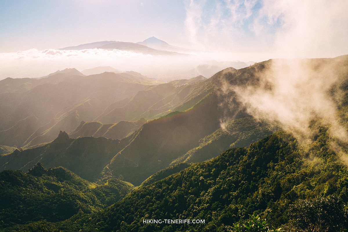
Tenerife rarely has one island-wide forecast. Cloud can sit in the north while the south is bright; Teide can be cold above a warm coast; El Médano wind can be excellent for kitesurfers and miserable for a family picnic. Check the destination forecast, not only the hotel forecast.
For rain in the north or Anaga, switch to a town-and-food day if roads and local conditions are normal. La Laguna, Santa Cruz, La Orotava or a museum can be useful, but heavy rain can also affect streets and transport. “Indoor alternative” does not mean ignore an official warning.
For strong wind, choose a sheltered coast after checking sea conditions, or move inland to a town. Do not use a natural pool as a wind escape when swell is the real problem. For heat or calima, shorten exposed walks, start early only when access allows, carry more water and be willing to cancel.
For high-altitude cloud, ice, fire restrictions or cable-car disruption, keep Teide as a scenic road plan only if roads and authorities say that is safe. Otherwise move the mountain day. The volcano has been here for a while; it is unlikely to take your rescheduling personally.
A useful backup pair is one outdoor anchor plus one town in the same broad region. Anaga pairs with La Laguna; the Orotava Valley pairs with La Orotava or Puerto de la Cruz; the south coast pairs with a walkable resort or El Médano. This saves you from crossing the island because one cloud appeared.
Route order, roads and realistic driving
Do not memorise one exact Tenerife drive time. Navigation estimates move with traffic, roadworks, events and your approach road; mountain routes also need slower driving and safe stops. Compare the route shortly before leaving, then add margin for parking, walking from the car and the fact that viewpoints are designed to make you stop looking at the clock.
Before driving, check Cabildo road information and the CIC live traffic map for incidents, works and cameras. In severe weather or wildfire conditions, follow emergency and authority instructions rather than trying to outsmart a closure with a smaller road.
Order mountain days by the most constrained element: reservation, cable car, trail access, light or forecast. Order town days by market hours, event closures and where you can finish without a stressful return. Order beach days by wind and sea state, not by how photogenic the water looked when somebody uploaded the marker.
Before you drive: confirm the official access or ticket, check the destination forecast, check roads and parking notices, save the return route, carry water and layers, and identify the stop you will remove first. If all six steps feel excessive, remove two pins now and enjoy the island more.
Avoid route loops that depend on every road staying open. A south–Teide–north crossing can be excellent when conditions are clear, but it is a poor promise on a volatile day. Keep the option to return the way you came and never let a hotel dinner reservation pressure you into unsafe mountain driving.
Tenerife by month
The map itself does not change with the season, but the useful pins do. Month guides help you judge daylight, heat, crowds, rain, fiestas and the difference between coast and altitude. Use exactly the month you travel, then return here to choose the route.
| Month | Use the map for |
|---|---|
| January | Sheltered south-coast beaches, clear-day Teide plans and flexible north alternatives. |
| February | Carnival logistics, almond-blossom possibilities and short hikes that can move with weather. |
| March | Balanced coast, town and hiking days with a backup for cloud or wind. |
| April | Spring walking, family days and towns during changing Easter schedules. |
| May | Teide flowers when conditions fit, warmer coast time and quieter route combinations. |
| June | Longer daylight, high-country checks and early starts before exposed routes heat up. |
| July | Early hikes, breezy north stops and beaches chosen by the actual sea state. |
| August | Heat-aware days, crowd-resistant town choices and calima alternatives. |
| September | Warm sea, local fiestas and flexible walking around late-summer heat. |
| October | Beach-and-town combinations with room for the first more changeable Atlantic days. |
| November | South-coast shelter, green north routes and rain-proof town stops. |
| December | Winter sun, festive towns and a conservative mountain plan. |
December travellers should also check the separate Christmas in Tenerife guide for festive schedules and town atmosphere. Events and opening hours can change each year, so the monthly page gives context while the current organiser or municipality gives the final time.
Season is only one layer. Sea state, wind, calima, wildfire restrictions and a passing front can matter more than the average for the month. Keep one movable day and choose the exact beach, hike or viewpoint after checking live conditions.
Offline backup and respectful map use
The interactive map needs a connection. Before leaving Wi-Fi, save your two anchor places in the navigation app you actually use, download an offline island area, screenshot the route order and keep the accommodation address written somewhere outside the map. If one app fails, you should still know the next town and the way home.
Do not screenshot dozens of pins and call that offline planning. Save the exact trailhead or car park only after checking it against an official route source. A similarly named viewpoint, beach or village can put you on the wrong road, and mobile coverage can disappear at precisely the moment you would prefer a second opinion.
Respectful use means staying on open paths, following barriers, taking rubbish away, not geotagging fragile unofficial shortcuts and not blocking residents’ entrances for a photograph. If a location feels too small for the number of cars arriving, be part of the solution: leave and use your backup.
Saved pins also need deletion. Remove places that do not fit this trip instead of keeping a permanent red cloud over the island. A map should reduce decisions on holiday, not remind you every hour that Tenerife contains more than seven days.
How Tenerife looked on older maps
The older map below tells a useful story: the tourist south appears tiny compared with today’s continuous resort coast. Keep it for perspective, not navigation. Roads, urban areas, names and transport have changed too much for a historic map to make present-day promises. What now looks like one dense strip of resorts began as separate settlements and dry-coast landscapes linked by a much smaller road network. The illustration is most useful beside a current map, where you can see how the airport, motorway, towns and visitor centres changed the practical centre of gravity without changing Tenerife’s mountains, ravines or long north–south weather divide.
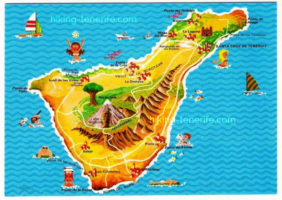
It is also a reminder that “authentic Tenerife” is not one frozen village outside the resorts. The island has changed, local life continues inside that change, and visitors should avoid treating lived-in towns as scenery from a better past. Use the historic layer to notice development, then use current sources to move around.
Garachico: why a video can beat a pin
I still joke that the Garachico video guide is better than any map, and it has a point. A pin can place the town; moving images show the lava-shaped coast, streets and scale in a way a symbol cannot. Garachico is worth time to walk, not a five-minute marker between north-west stops.
Keep the video as inspiration, then check current sea access before planning the natural pools. Rough Atlantic conditions can close or overwhelm bathing areas even when the town itself is a perfectly good visit.
Other Tenerife maps worth keeping
Use this discovery map together with specialist official tools. Tenerife ON is the important map for nature routes, facilities, reservations and closures. The Cabildo road and traffic maps are for the journey. Tenerife’s official tourism map tools help with recognised attractions and activities. Your navigation app is for live routing and saved offline pins.
- Discovery layer: use the interactive map on this page to find places and understand the island.
- Nature layer: use Tenerife ON for authorised routes, permits, closures and protected-area information.
- Road layer: use Cabildo and CIC information for incidents, cameras, works and alternatives.
- Transport layer: use the current TITSA planner for both outward and return journeys.
- Personal layer: save only the places that fit your base, group, weather and time.
Many travel maps solve the visual problem with layers for beaches, attractions, walks, food and transport. That is useful until every layer is on and Tenerife becomes a bowl of coloured confetti. Keep one or two layers active, choose a region and make the route in a navigation tool. The gap between a beautiful map and a good day is judgement.
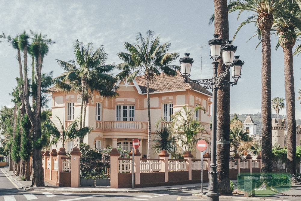
For a cloudy town option, La Laguna is particularly useful: it combines history, food and walkable streets without pretending to be a mountain substitute. Check rain and access, then give the old town enough time to be more than a coffee between pins. After you have two anchors and one backup, stop researching. We have been collecting Tenerife places since 2011, but your holiday does not need to reproduce the whole collection. Send the map to a travel companion, agree on the day’s shape and leave room for the place you did not know you would enjoy.
Want a route that feels like a holiday, not a pin-collecting contest? My handcrafted Tenerife guide turns good places into calm day plans, with the local judgement a marker cannot give you.
Tenerife map FAQ
These are the practical questions the map itself cannot answer clearly. The short version is consistent: use the pins for discovery, then confirm access and route details on the current official page or service.
Is this Tenerife map free to use?
Yes. You can open, zoom and explore the map on this page without paying. It is a starting point for planning; permits, tickets, transport and individual attractions may still have their own costs or booking rules.
How many places are on the interactive map?
The live map rendered 76 plotted points from 65 linked guide entries when checked on 23 July 2026. Some guides have several coordinates, and a few legacy pins provide wider Canary Islands or travel context rather than a Tenerife-only stop.
Can I filter the map by beaches, hikes or towns?
Not on the current version. Nearby markers cluster as you zoom out, but there is no active category filter. Use the planning legend in this guide, then zoom into one region and open only the pins that fit your day.
Why do some map markers open a Russian guide?
The map’s 65 linked place guides currently open in Russian. The English links around the map lead to planning guides for the main regions and trip decisions; browser translation can help when you want the detail from a Russian marker page.
Can I use the interactive map offline?
The live map needs a data connection. Before leaving Wi-Fi, save important place names and pins in your own navigation app, download an offline island area, and keep a screenshot or written route order as a backup.
Do I need a car to explore Tenerife?
No, but your base matters much more without one. Build around live TITSA connections, towns, promenades and organised access to remote areas. A car offers more freedom for viewpoints and trailheads, but it does not remove parking, closure or mountain-road constraints.
Does a marker mean a trail or attraction is open?
No. A pin shows location, not live access. Check Tenerife ON for protected routes and closures, the road authority for incidents, and the official attraction or municipality for tickets, hours, sea conditions and temporary restrictions.
My honest way to use this Tenerife map
Open the map on a large screen, zoom to your base and save one cluster. Pick two anchors that still make sense if lunch runs long, add one weather backup, and check the official route, road or sea information that applies. On the day, remove a stop before you rush one.
Too much choice? Good. That means you can choose the right Tenerife for this trip instead of following one universal list. A calm beach, a green forest, a volcanic road, an old town and a proper meal already make an excellent week. The rest of the pins will still be here next time. See you elsewhere in the magazine — Dmitriy.
Чудесно! А как бы добавить гугло-карту к своим гугло-картам? 🙂
Спасибо. Автоматического добавления этой карты Тенерифе к своим нет, как я понимаю. Только ручками лучшие места.