

Short answer: Roque Imoque is the dark volcanic rock tower above south Tenerife, between the Arona and Ifonche landscapes. Start planning from Arona Plaza and use the verified Camino del Topo facts, but do not treat an old 12 km phone track as a currently certified loop.
This is a dry, exposed mountain area of old paths, terraces, pine woodland and ravines. The landmark is worth seeing, but the safe job is route choice, not climbing the rock or chasing an informal shortcut.
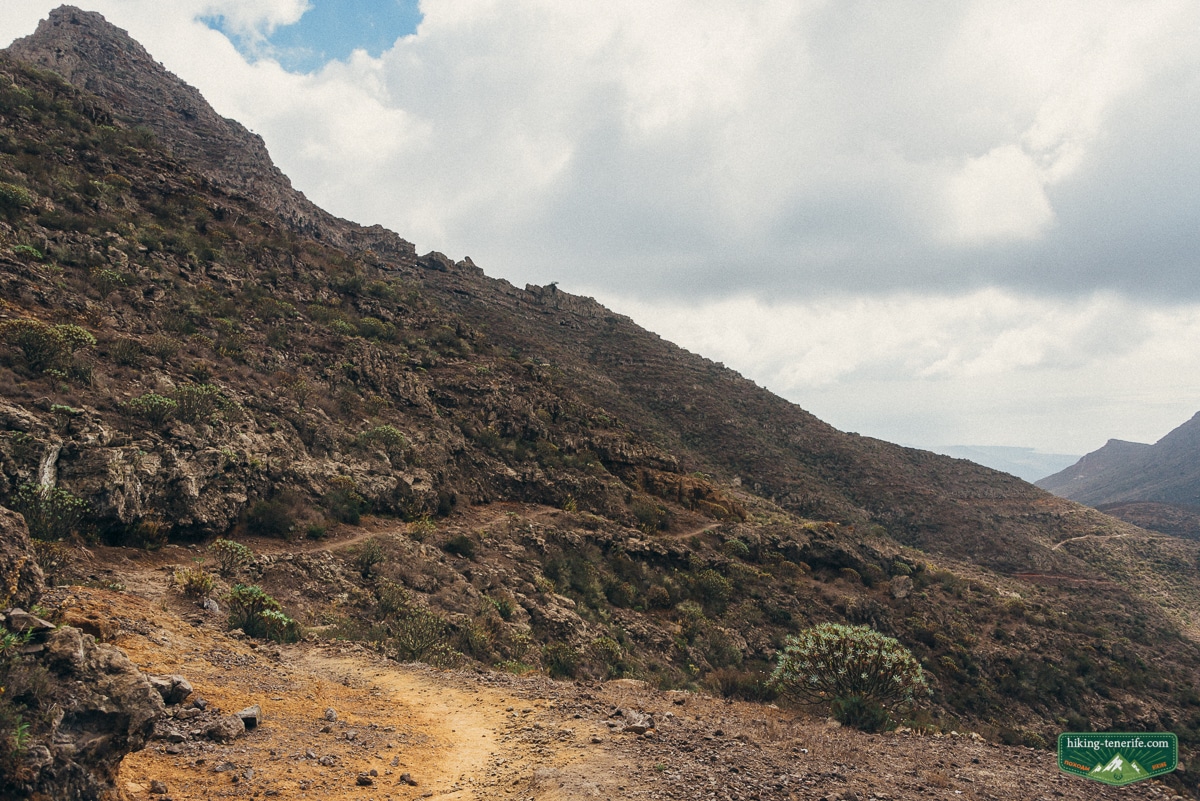
Quick verdict: what Roque Imoque is and is not
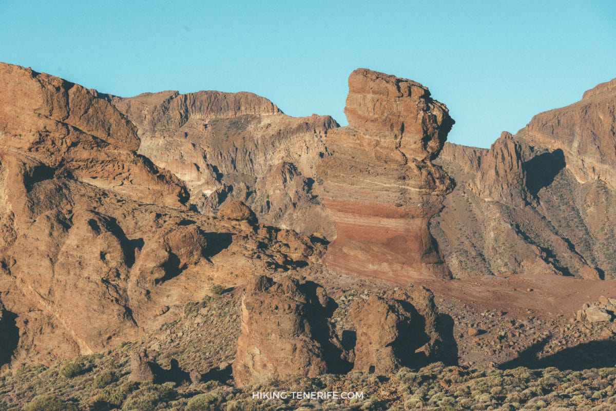
Roque Imoque is a volcanic rock formation shown at 1,112 m on Arona’s municipal hiking map. It stands near protected landscapes above the resorts, not at the end of a signed tourist summit trail.
I would choose this area for a regular walker who wants a quieter inland day from Los Cristianos, Las Americas or Costa Adeje. I would skip it if your priority is a simple marked circuit, continuous shade or a guaranteed bus connection at the finish.
Local verdict: use Roque Imoque as the visual centre of an Arona and Ifonche walking day. Do not use it as permission to scramble onto the rock, cross private ground or convert a faint app line into a route.
Beautiful, yes. A certified summit loop, no.
The verified route names and the historic loop
The clearest official starting point is Camino del Topo. Arona describes this old path from Arona Plaza to Ifonche as a 3.8 km one-way route taking about 2 hours 30 minutes, with roughly 400 m of ascent and a low municipal difficulty rating.
Arona’s directory also lists a Camino de Arona – Ifonche – Arona, but it does not publish enough current detail to certify the historic 12 km circuit in my old notes. That older circuit recorded about 705 m of ascent and descent and four to five hours, but those numbers are archival planning context, not a live access guarantee.
| Route identity | Verified facts | How to use it |
|---|---|---|
| Camino del Topo | Arona Plaza to Ifonche, 3.8 km one way, about 2 h 30 min, about 400 m ascent | The clearest official Arona approach |
| Historic Arona loop | Old notes record about 12 km, 705 m ascent and descent, four to five hours | Use only with a current checked route and open marked paths |
| PR TF 71.2 Camino de Ifonche | Ifonche to La Quinta, 6.4 km traverse, about 2 h 30 min, 523 m up and 627 m down | A separate official route, not the Roque Imoque loop |
Common mistake: combining figures from these three routes into one confident circuit. Decide which named path you are following before leaving Arona, and turn back if the marked route or current official map does not match your plan.
Where Roque Imoque sits
Roque Imoque rises in the inland south-west near Arona, Ifonche and the Adeje side. The Ifonche Protected Landscape lies in Adeje and Vilaflor, while nearby ground also meets the Special Nature Reserve of Barranco del Infierno.
Map note: Roque Imoque, Camino del Topo, PR TF 71.2 and the ticketed Barranco del Infierno visitor trail are not interchangeable names. Check the live Tenerife ON map and follow the open marked path in front of you.
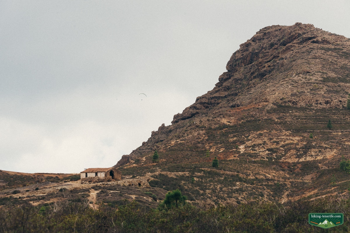
For more context on the village and its separate walking options, read my Ifonche Tenerife guide. Roque del Conde is another distinct Arona mountain route, while the managed Barranco del Infierno walk has its own reservation and access rules.
Start, parking, buses and no-car reality
For Camino del Topo, the verified origin is Arona Plaza and the destination is Ifonche. The longer historic circuit returns toward Arona, but this page does not supply a turn-by-turn GPX because the full variant has not been re-certified against every current junction.
With a car: use legal parking in Arona, arrive with time to walk from the space you find, and keep rural roads, gates and farm access clear. Parking is not guaranteed, and a roadside viewpoint is not automatically a legal space.
Without a car, TITSA route 480 connects Los Cristianos with Arona. Route 482 also serves Arona on the Vilaflor and La Escalona corridor. Check the current timetable and exact stop on TITSA line 480 before departure.
A bus can make an Arona start feasible, but it does not make a remote finish flexible. Do not depend on a taxi appearing in Ifonche, and do not begin a long variant if the return timetable leaves no daylight margin.
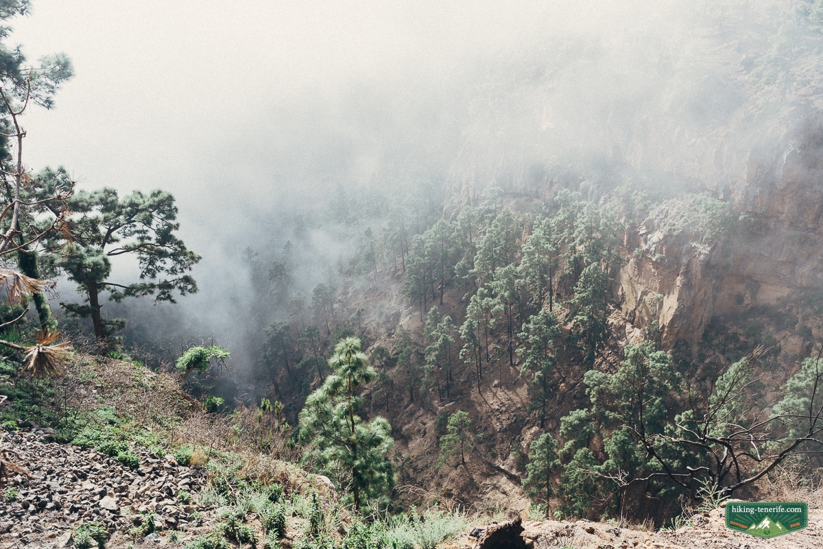
The walk leaves Arona’s old streets for terraces, dry slopes, local plots, pine sections and open mountain ground. Shade comes and goes, and loose or uneven surfaces can feel much harder in heat or after rain.
The tower of Roque Imoque is the view, not the instruction. Stay on the marked way and do not climb the formation, cross a closure or use a faint shortcut to get closer.
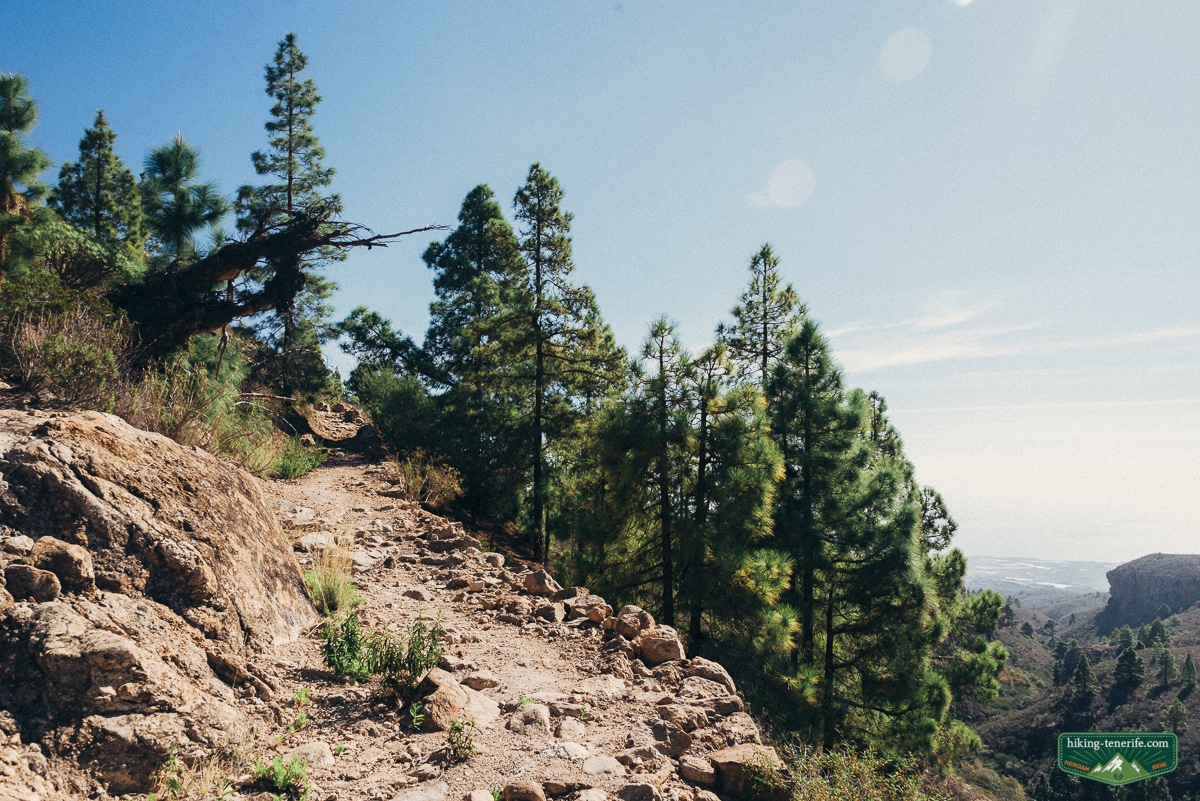
Turn around: if signs stop matching your plan, cloud removes the next landmark, wind makes exposed ground uncomfortable, rain loosens the surface, or the group is using water faster than expected. A correction is easier before the route becomes a rescue problem.
Carry a charged phone and an offline map downloaded before the walk. Mobile coverage is not guaranteed, and this page does not promise that an old video or community track follows today’s open route.
Heat, wind, rain and what to carry
Check the AEMET Arona forecast, Canary Islands alerts and Tenerife ON before leaving. The inland forecast can differ from the beach, and fire restrictions or closures override a saved plan.
Carry: grippy walking shoes, more water than you expect to drink, food, sun protection, a light warm or waterproof layer, offline navigation and enough phone battery for a changed plan.
Do not rely on drinking water, toilets or continuous shade along the route. Treat Arona as the last dependable service point unless a current official source confirms something else for your chosen path.
Who this mountain day suits
Camino del Topo can suit regular walkers who are comfortable with an uphill one-way path and have a clean return plan. The longer historic variant is for experienced walkers who have verified a current route and can manage more distance, ascent and navigation.
I would not use the full historic circuit as a family default. Toddlers, pushchairs, nervous walkers, anyone uncomfortable with exposure, and children without real mountain-path experience need a different route.
Dogs: this page cannot promise that every section is suitable or permitted. Protected ground, livestock, private plots and seasonal controls can change the answer, so check current rules and keep dogs controlled wherever access is allowed.
For a controlled south-Tenerife ravine walk with reservations and managed access, compare Barranco del Infierno in my south Tenerife guide. For a wider route shortlist, use the best hikes in Tenerife guide.
Choose the route that fits your group, not the rock that looks best in a photograph.
Protected ground, farms and trail conduct
The area includes protected landscape, old agricultural terraces, working plots and paths used by residents. Stay on enabled trails, respect signs and closures, close a gate if you found it closed, and never block access for farmers or emergency vehicles.
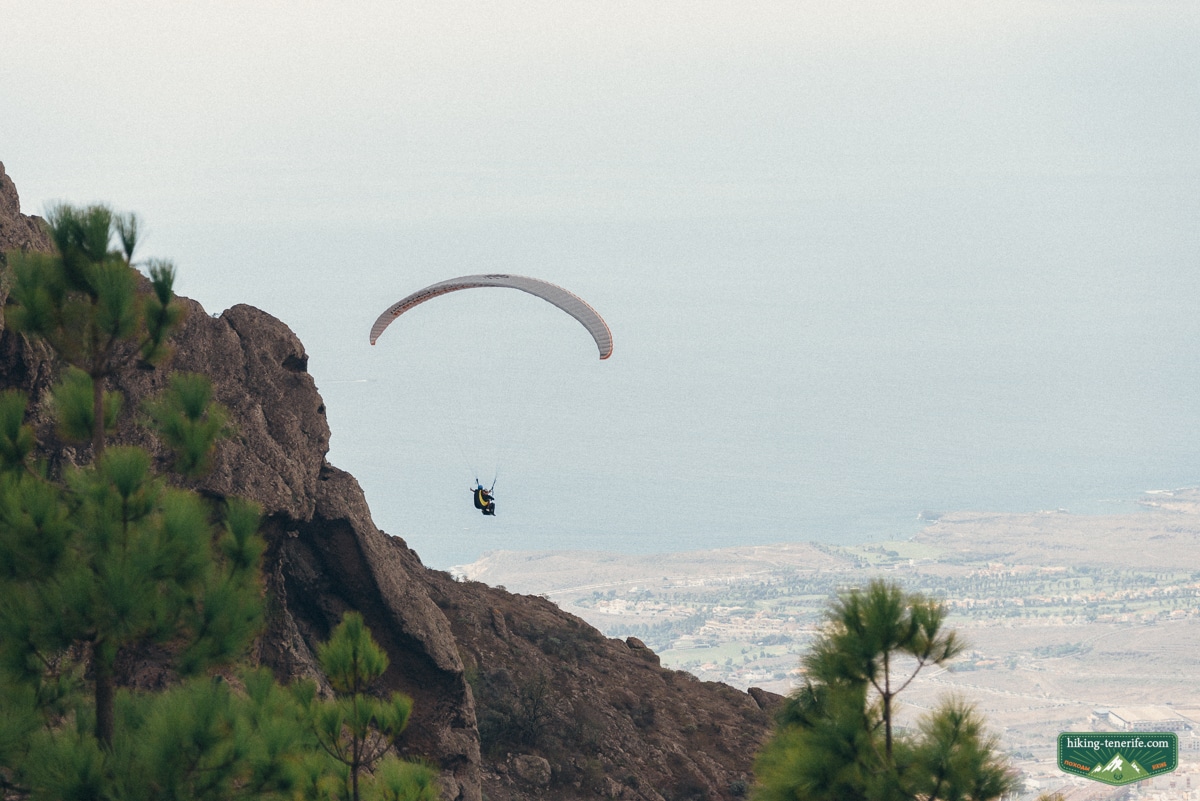
Landscape rule: do not climb the rock formation, cut switchbacks, damage dry-stone walls, disturb livestock, enter a paragliding operation or fly a drone without the permissions that apply.
Hunting activity and temporary land controls can change. If current signs, an official alert or a land manager says a path is closed, choose another day rather than searching for a way around it.
Want the wider south Tenerife picture before choosing a mountain day? Use my English Tenerife map to compare Arona, Ifonche, the coast and nearby alternatives without turning an old pin into a route.
Best time and nearby alternatives
A cool, settled morning gives the best margin. Summer heat increases water needs and exposure, while winter cloud, rain and wind can make the uplands feel nothing like the resort forecast.
Make this the main activity of the day. If the route or weather is wrong, choose Arona town, a lower south-coast plan or the managed Barranco del Infierno route instead of forcing the historic circuit.
If you want high volcanic scenery, read the Teide National Park guide. Teide access, altitude and weather are a separate planning problem, not an extension of Roque Imoque.
Roque Imoque hike Tenerife FAQ
These answers separate verified municipal paths from the historic full circuit.
Where is Roque Imoque in Tenerife?
Roque Imoque is a volcanic rock formation in the inland south-west above the resorts, near Arona, Ifonche and the Adeje side. It is a landmark beside protected landscapes, not a signed tourist summit.
How long is the Roque Imoque hike?
The verified Camino del Topo is 3.8 km one way from Arona Plaza to Ifonche and takes about 2 hours 30 minutes. An older full circuit in the author’s notes was about 12 km with roughly 705 m ascent and descent, but use those figures only with a current checked route.
Where does the route start?
Arona municipality identifies Arona Plaza as the origin of Camino del Topo to Ifonche. Do not improvise a start from a rural bend or assume that every online loop uses the same path.
Is Roque Imoque suitable for families?
The verified one-way Camino del Topo may suit experienced walking families with a return plan. The longer historic circuit is not a default family route and is unsuitable for pushchairs, toddlers or walkers without mountain-path experience.
Can I do the Roque Imoque hike without a car?
TITSA buses serve Arona, so a no-car start can be possible. Check the current timetable, daylight and return plan first because a bus to Arona does not guarantee transport from a remote finish.
Do I need a permit for Roque Imoque?
I found no separate reservation for Camino del Topo, but closures, fire restrictions and protected-area rules still apply. The managed Barranco del Infierno visitor trail is a different route with its own booking rules.

