

Short answer: Chinyero is a rewarding volcanic hike through black lava and Canary pine forest, but there is no single set of route statistics. Choose the exact trailhead and variant first, then check its current status before leaving.
The simplest useful choice is between a longer circular day from Arenas Negras and a linear approach such as PR-TF 43.3 from Santiago del Teide. They have different distances, ascent, parking and return logistics.
Chinyero is inland on Tenerife’s north-west ridge. It is not in Los Gigantes and it is not inside Teide National Park.
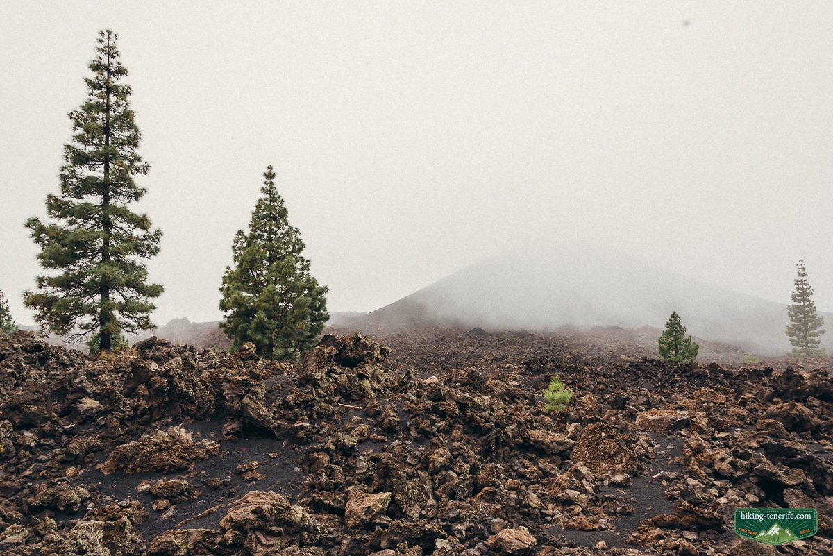
Is the Chinyero volcano hike worth it?
Yes, if you want a real walk through young volcanic terrain and are willing to plan the route rather than follow the first GPX file you find.
| Best for | Independent hikers, photographers, geology-minded visitors and older children used to uneven trails. |
|---|---|
| Main decision | Choose an exact signed approach or circuit before comparing distance, time and ascent. |
| Car reality | A car is easiest, but legal parking depends on the chosen start. Do not improvise a roadside space. |
| No-car reality | Possible for selected starts only when the live bus and return plan work together. |
| Non-negotiable rule | Stay on marked trails. The protected cone is not a summit hike. |
My verdict: Chinyero is worth the effort when the trail status and mountain weather support your chosen route. If access, heat, wind, fire restrictions or the return journey make the plan fragile, choose another hike.
What Chinyero is, and how 1909 differs from 1706
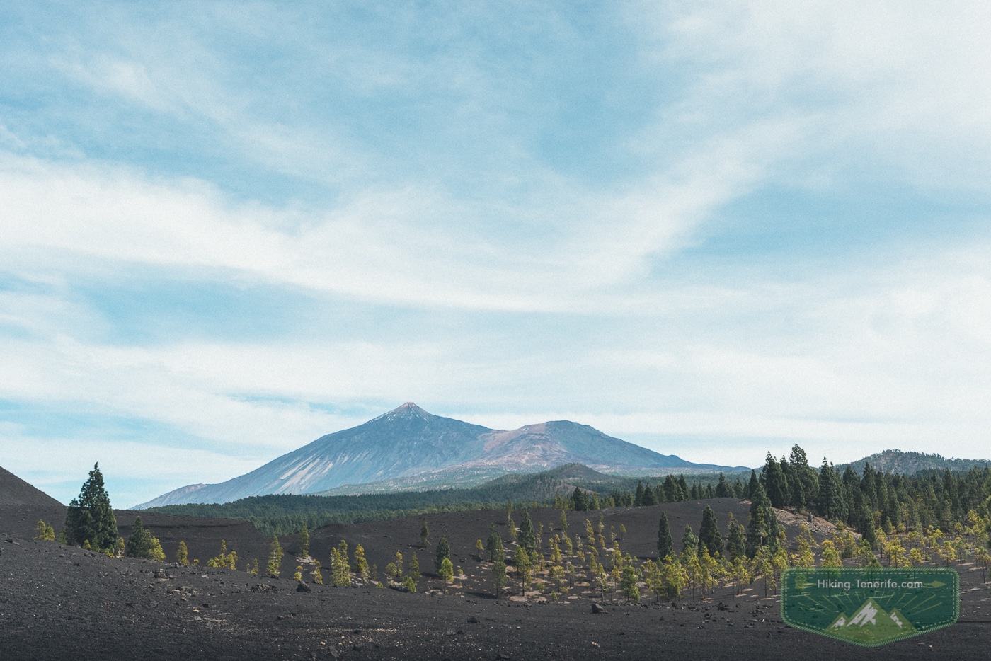
Chinyero is the cone and lava landscape created by Tenerife’s latest recorded eruption. IGME dates the event from 18 November 1909 and says it lasted ten days.
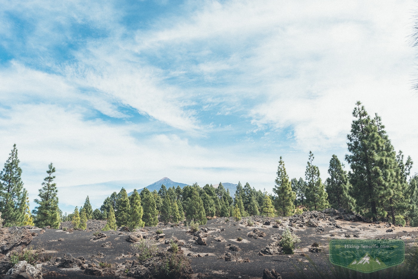
The cone and lava fields form part of the Chinyero Special Nature Reserve across Santiago del Teide, El Tanque and Garachico. The landscape is protected because its recent volcanic forms and recovering habitats are unusually clear.
The 1706 eruption associated with Arenas Negras, Montaña Negra or the Garachico volcano was a separate event on the same north-west volcanic ridge. It damaged Garachico and its harbour almost two centuries before Chinyero.
For the town and the consequences of 1706, continue to my Garachico guide. This page stays with the practical Chinyero hiking decision.
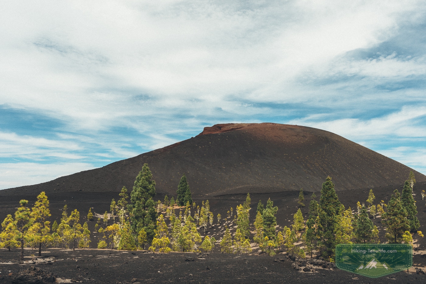
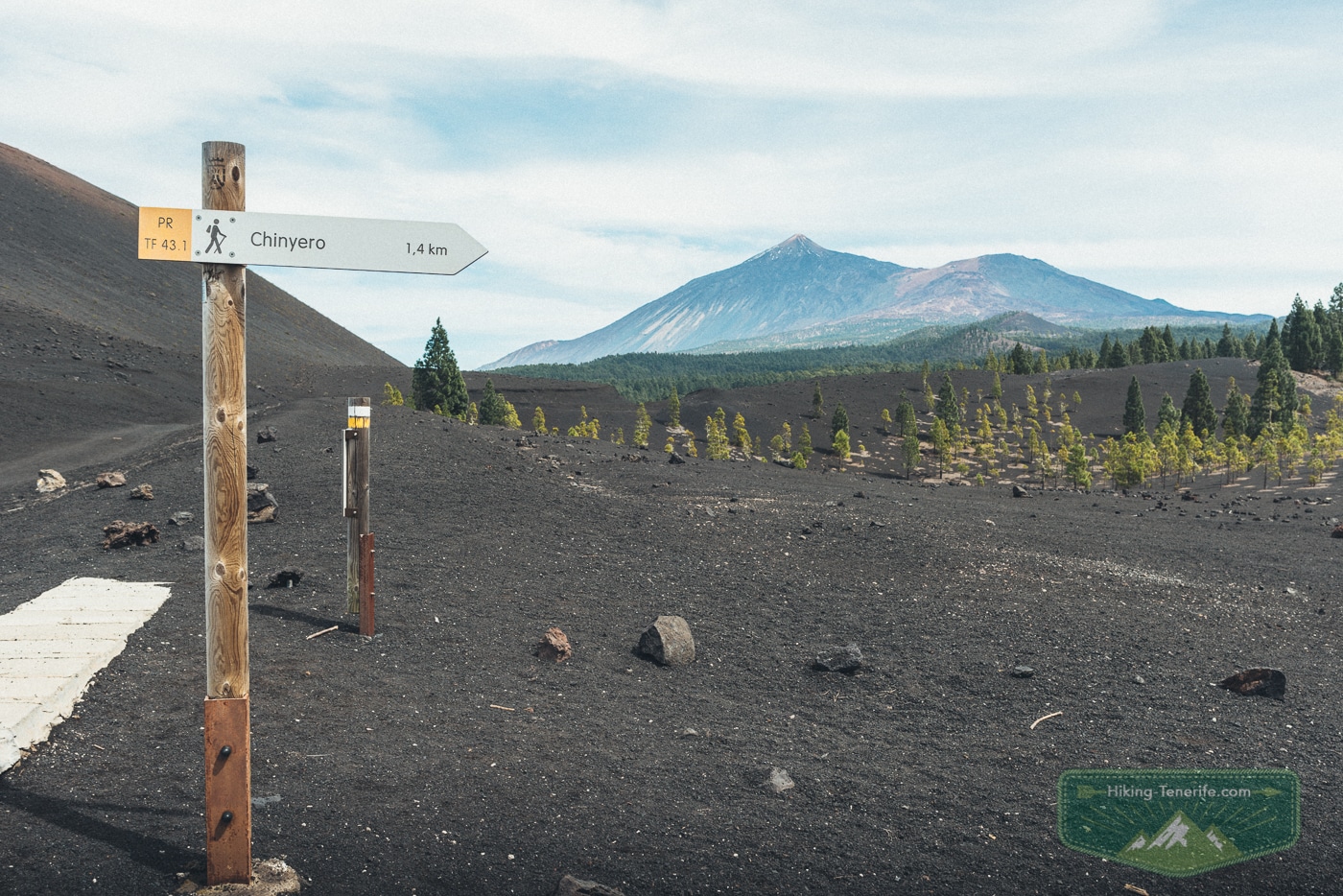
Protected-landscape rule: do not climb the cone, collect lava, move stones, leave the signed trail or drive onto fragile ground. Avoid loud behaviour around wildlife, and never treat a photograph as permission to cross a closure or create a shortcut.
Which Chinyero route should you choose?
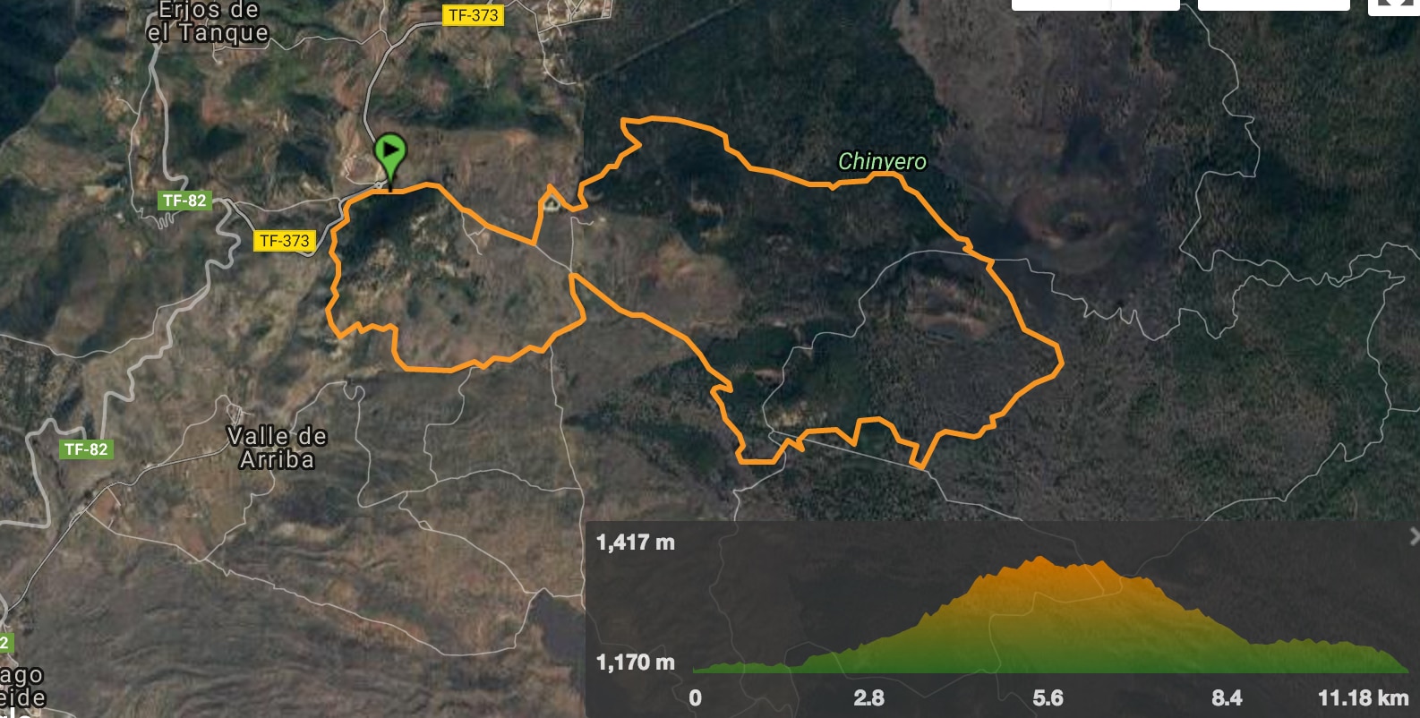
Tenerife ON distinguishes PR-TF 43 Garachico to Chinyero and the 43.1, 43.2 and 43.3 approaches. Tourism of Tenerife also documents a separate Arenas Negras to Chinyero circuit.
| Variant | Official planning facts | Who it suits |
|---|---|---|
| Arenas Negras to Chinyero | About 12 km circular, 430 m ascent, starting at the Arenas Negras recreation area. | Walkers wanting a complete loop and willing to treat a route rated low for trail runners as a substantial hike. |
| PR-TF 43.3 from Santiago del Teide | 7.4 km linear, about 2h30, medium, 541.54 m ascent, ending at the Circular Chinyero connection. | Hikers who want to start in town and have solved the onward route or return before setting off. |
| PR-TF 43 from Garachico | 17.7 km linear, about 7 hours, high difficulty and 1,680 m ascent. | Experienced hikers seeking a long ascent, not visitors looking for a short volcano stroll. |
PR-TF 43.1 from San José de Los Llanos and PR-TF 43.2 from Los Partidos are additional connectors. Check their live cards instead of borrowing statistics from one of the three variants above.
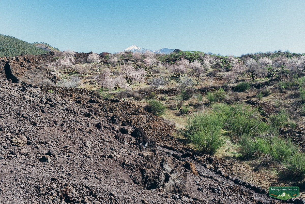

Route reality: the old 6.44 km, 2h30 and negligible-ascent combination on this page did not identify a matching official variant. Do not use it. Open the current trail card for your chosen start and keep an offline map that shows the same route.
- Terrain: forest track, ash, lapilli and uneven lava-side paths.
- Footwear: shoes with grip and enough protection for sharp or loose volcanic ground.
- Water: carry your full supply; official route information does not promise drinking water.
- Navigation: match the trail name, start and route type before downloading a map.
- Turnaround: visibility, heat, wind and return transport are valid reasons to shorten the day.
Parking, buses and the no-car reality
Arenas Negras has a recreation-area parking start documented by Tourism of Tenerife. Access uses a forest track, so check current vehicle restrictions and road condition before relying on it.
The same official route also describes a TF-38 approach near kilometre 14.9. That is not permission to block a pull-off or drive beyond a restriction.
IGME characterises the direct TF-38 geological-site approach as an asphalt road with no parking.
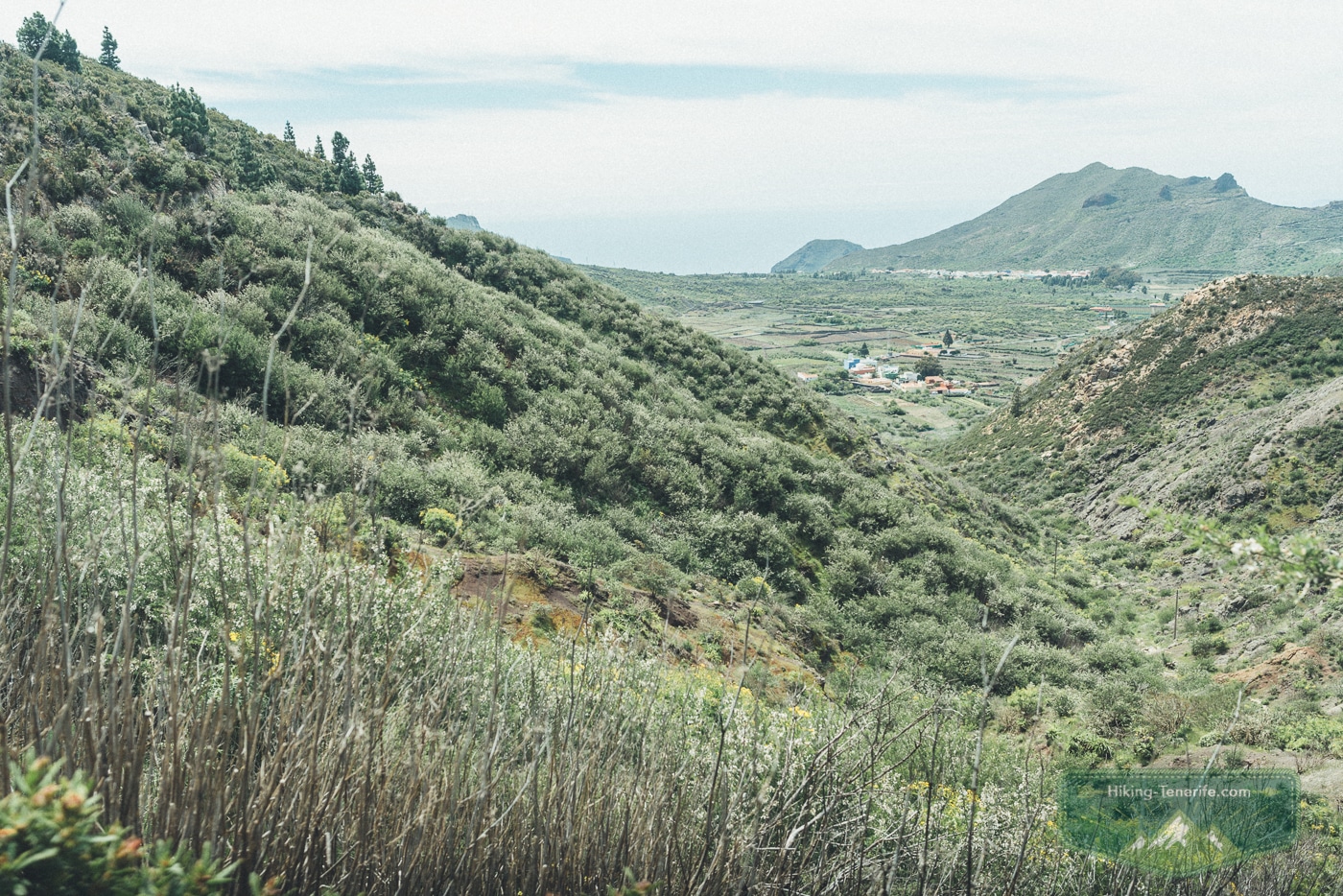
Without a car, PR-TF 43.3 begins in Santiago del Teide, but it is linear. Reaching its start by bus does not solve the return from the Circular Chinyero connection.
For Arenas Negras, Tourism of Tenerife points to TITSA line 360 and the Iglesia San Francisco or Arenas Negras area. An additional walk is required to reach the route.
Confirm the current stops, direction and last practical return in the live TITSA journey planner.
No-car verdict: Chinyero can work without a car only when one exact route, access walk and return journey form a safe itinerary. If a missed connection would leave you on a mountain road, choose a town-based or easier bus-linked hike.
If you are deciding whether this deserves a driving day, use my Tenerife car-hire guide before booking around one remote trail.
Planning a west-Tenerife day? Use the free Tenerife map to group Chinyero with a sensible nearby stop instead of crossing the island between unrelated saved pins.
How to check current closures and restrictions
Do not treat an indexed trail page or an old GPX as proof that the route is open today. Use Tenerife ON for the selected PR-TF 43 variant and check Cabildo or emergency notices before travel.
Official 2026 wildlife-control measures schedule temporary daytime closures on affected PR-TF 43 routes on 21 and 28 October, selected dates from 4 to 18 November, 23 and 24 November, and 10 December. Other fire, weather or maintenance restrictions can be added separately.
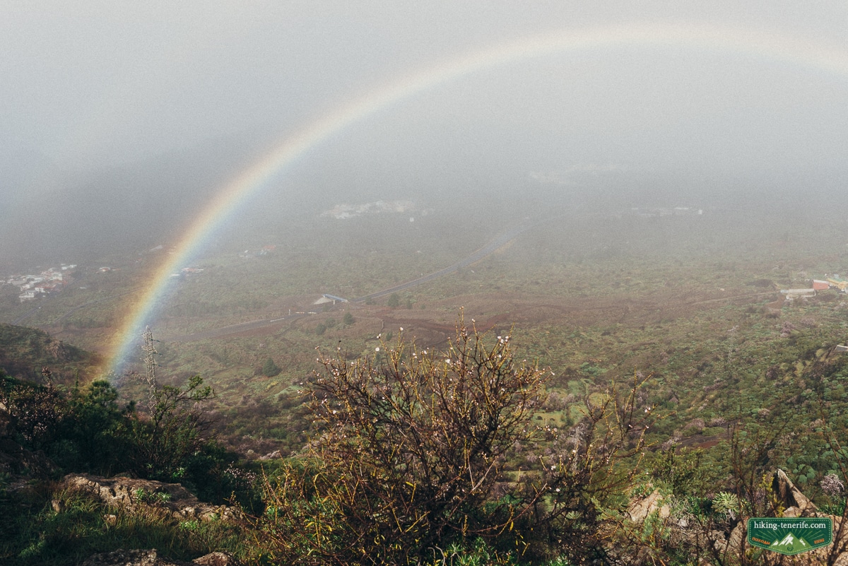
Day-of check: confirm the exact trail status, the Santiago del Teide forecast and current Canary Islands emergency alerts. A general Chinyero search is not enough when variants can have different restrictions.
Weather, heat, wind and volcanic-terrain safety
Chinyero is high enough for a sunny coast forecast to be misleading. It can be colder, windier or cloudier than Los Gigantes, while black ground can feel brutally hot in strong sun.
Carry water, food, sun protection, a warm layer, a charged phone and an offline map. Tell someone which named route you are taking and when you expect to return.
Common mistake: treating black lava as an open playground. Loose rock can move underfoot, and young vegetation is easily damaged. Stay on the marked route even when a shortcut or photograph looks harmless.
Is Chinyero suitable for families and dogs?
Choose by the child, terrain and exact variant, not by the word circular. The Arenas Negras route is about 12 km, and PR-TF 43.3 has more than 500 m of ascent before any onward or return solution.
Older children who already enjoy uneven hikes may do well. Buggies, shade-dependent young children and first-time walkers need a simpler plan with facilities and an easy exit.
For dogs, check the current rule for the chosen trail and reserve access before travel. Keep a dog controlled and leashed, prevent wildlife disturbance, carry waste out and never use a dog as a reason to leave the marked route.
Dog decision: if the live trail information does not clearly support your exact plan, do not assume that a dog is allowed everywhere in the reserve. Choose a route with an explicit current rule.
Chinyero, Teide, Teno or Garachico?
Choose Chinyero for recent black lava, pine forest and the story of the 1909 eruption. Choose Teide National Park for the caldera, high-altitude viewpoints and park-specific access decisions.
Choose Teno and Monte del Agua for a greener west-island forest route. Choose Garachico when the 1706 eruption, old town and coast matter more than a full hike.
For seasonal flowers and trail conditions, read my spring hiking guide. For a broader route decision, compare the best hikes in Tenerife.
Chinyero Volcano FAQ
Which Chinyero route should I choose?
Choose Arenas Negras when you want a documented 12 km circuit and can manage about 430 m of ascent. Choose PR-TF 43.3 when a 7.4 km linear ascent from Santiago del Teide fits your onward or return plan. Check the live card before either route.
Where can I park for Chinyero?
Arenas Negras has a documented recreation-area parking start, subject to current track and vehicle restrictions. Other approaches have different parking realities. Never treat a TF-38 pull-off, barrier or fragile verge as guaranteed parking.
Can I hike Chinyero without a car?
Sometimes, but only with a complete route and return plan. PR-TF 43.3 starts in Santiago del Teide but is linear. The Arenas Negras side may involve TITSA line 360 plus an access walk. Confirm the current timetable and last practical return.
Can you climb Chinyero Volcano?
No. Experience the cone from the marked route. The volcanic formations and recovering habitats are protected, so do not climb the cone, collect lava or create shortcuts.
Are dogs allowed on the Chinyero trails?
Do not assume one rule covers every approach. Check the current official information for your chosen trail. Where dogs are permitted, keep them controlled and leashed, prevent wildlife disturbance and stay on the marked route.
Was Chinyero the volcano that destroyed Garachico?
No. Chinyero erupted in 1909 for ten days. The destructive Garachico eruption occurred in 1706 and is associated with Montaña Negra or Arenas Negras. They are separate eruptions on Tenerife’s north-west volcanic ridge.

