

Short answer: hiking Tenerife in spring works best when you choose the landscape after checking altitude, cloud, wind, rain and trail access. Chinyero is my first choice for a clear, stable mid-altitude day, but forest, coast or Teide may be the better answer when conditions change.
Spring does not create one island-wide hiking season. The sunny south, green north, damp laurel forest and high Teide country can behave like four different destinations on the same morning.
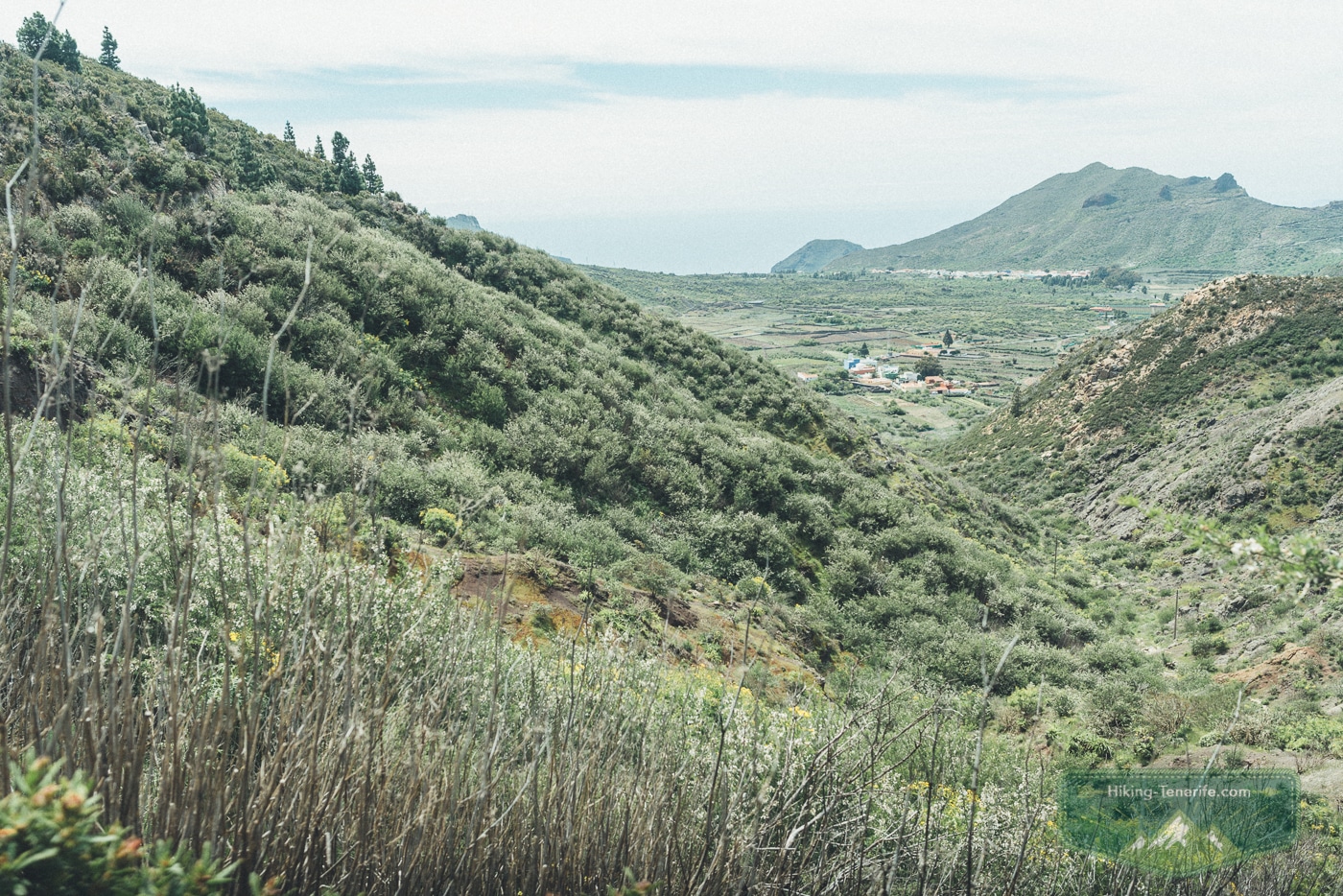
My spring circuit runs near Chinyero, west of Santiago del Teide. It passes old gardens, seasonal flowers, black lava and Canary pines, with enough contrast to make the walk worthwhile even when blossom is modest.
Use climate patterns only to shortlist a route. On the day, check the actual forecast, Tenerife ON alerts, road access and the time needed to finish in daylight.
Local verdict: choose spring for varied walking, not for guaranteed flowers, a guaranteed summit or a fixed photograph.
Quick Verdict: Is Spring Good for Hiking Tenerife?
Yes, especially for active first-time visitors, repeat visitors and photographers who can cope with a cloud.
Families can enjoy it too when the children already like a real walk. Spring is gentler for low and mid-altitude hiking than the hot months.
Higher ground can still be cold enough to demand judgement.
I would skip a mountain plan when the forecast brings strong wind, heavy rain, low cloud, a Tenerife ON alert or a road closure.
I would also skip it when the group really wanted a beach day. Tenerife has alternatives. Turning around is not a failed holiday.
Local rule: let the forecast choose the landscape. Keep one lower route ready when the mountain says no.
| If you want… | My more honest spring answer |
|---|---|
| Almond blossom | Keep late January to March flexible around Santiago del Teide; February is often useful, never guaranteed. |
| Flowers and an easy volcanic day | Choose a low or mid-altitude Chinyero route after checking the current trail card and weather. |
| High-altitude Teide | Choose a clear, calm day with the required booking, equipment and a live access check. |
| Green forest and cloud | Choose Teno or Anaga, accepting that mist is part of the deal rather than a personal insult. |
| No-car hiking | Use a shorter, live-timetable-friendly route; do not pretend every scenic loop is a casual bus trip. |
Local verdict: spring is excellent for walking Tenerife when you let the forecast choose the landscape. It is less good when you arrive with one fixed flower photo, one fixed summit plan and no backup.
March, April or May: Which Spring Month Fits Your Hike?
There is no island-wide flower switch. Winter rain, warm spells, wind, altitude and exposure decide what you see, so choose the kind of walking day first.
| Month | Usually the better hiking choice | Main reason to change plans |
|---|---|---|
| March | Mid-altitude lava, pine and lower forest routes such as Chinyero when the surface is dry. | Cold higher ground, recent rain, cloud and short daylight margins for an ambitious route. |
| April | A flexible mix of Chinyero, Teno, Anaga and lower Teide trails. | Wind, wet forest footing, Easter traffic and assuming a warm coast means a warm mountain. |
| May | Longer days and carefully selected higher routes, with later flower possibilities around Teide. | Stronger sun, exposed heat, permit limits and expecting every species to bloom together. |
Use the separate March, April and May guides for full monthly weather and trip planning. June is the handoff into stronger sun and early-summer decisions, not another month to squeeze into this spring guide.
Plan like this: arrive with one preferred route, one lower or more sheltered alternative and permission to choose neither.
Choose the Landscape After You Check Conditions
A beach forecast is not a hiking forecast. Compare the route area and altitude before deciding where to walk.
| Landscape | Spring advantage | Switch or cancel when |
|---|---|---|
| South and west mid-altitude | Often the simplest dry-ground fallback, including Chinyero-style lava and pine terrain. | Heat, strong sun, calima, wind or wildfire restrictions make exposed walking a poor choice. |
| North and laurel forest | Green scenery, shade and atmospheric cloud in Anaga or Teno. | Rain, low cloud and wet roots reduce grip or visibility. Cloud does not guarantee calm wind. |
| Coastal trails | Lower altitude can help when high ground is cold or closed. | Heat, UV, little shade, cliff exposure or rough access creates a worse risk than the mountain. |
| Teide high country | Clear volcanic scenery and later high-altitude flowering possibilities. | Snow, ice, strong wind, cold, closure, missing reservation or mandatory equipment stops the plan. |
Local detail: AEMET municipal forecasts describe a town or municipality, not every elevation above it. For Teide, use the mountain information and official access status as well as the forecast near your accommodation.
Need a flexible backup? Open my free Tenerife map before the weather decides that your first route belongs to another day.
The Spring Hike I Keep Returning To: Chinyero
My spring circuit makes a broad loop through the Chinyero area on Tenerife’s west side, near Santiago del Teide.
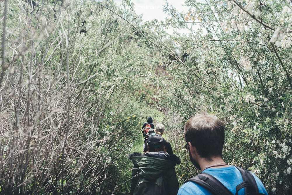
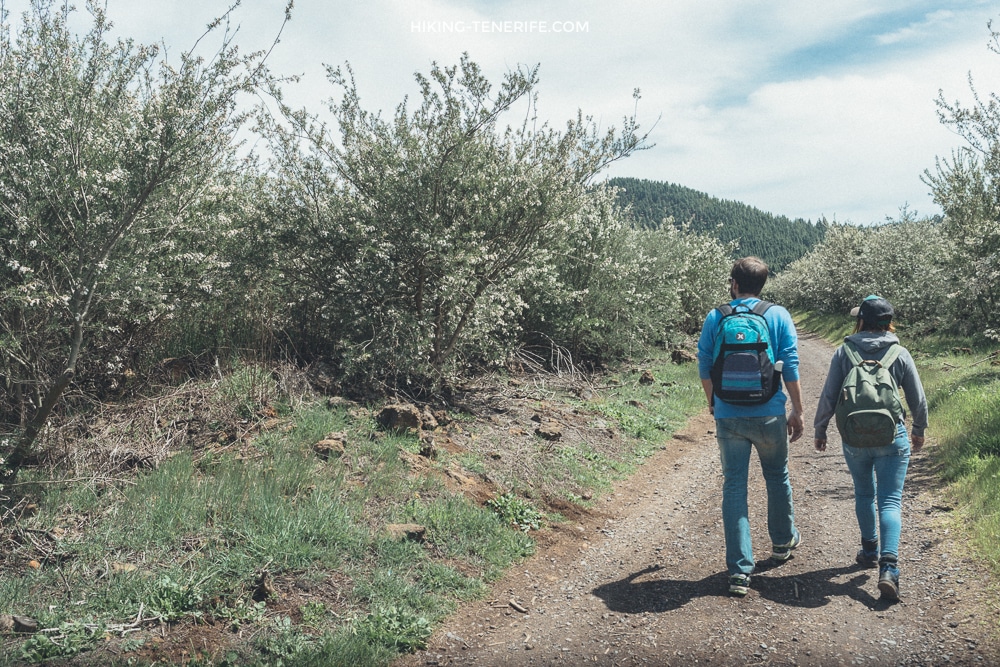
My recorded version was just over 11 km with roughly 350 m of ascent. It passed old gardens and flowering shrubs before the pines thinned and the lava took over.
Treat those figures as a memory of my loop, not as a navigation promise.
The official network has several Chinyero and PR-TF 43 variants, starting points and connectors. Use the current Tenerife ON route card, actual signs and your own map on the day.
Local detail: a Chinyero loop is a full walking day, not a scenic stop squeezed between two other plans.
What makes this day special is the contrast.
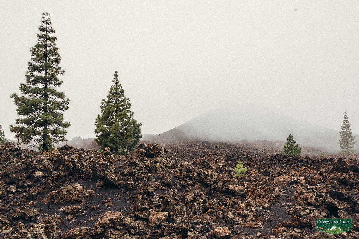
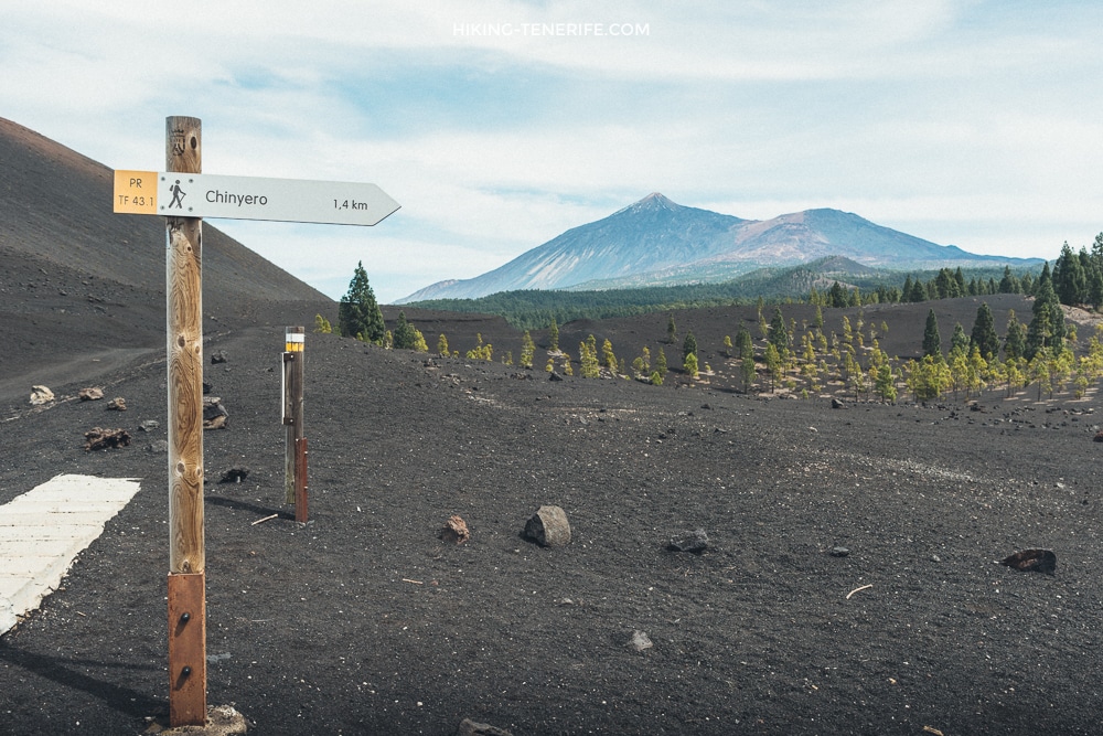
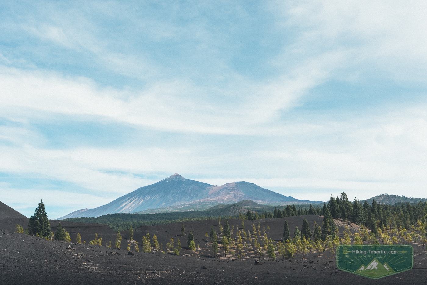
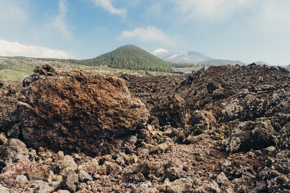
The first part can feel rural and green. Then the route opens into ash, young pines, raw lava and the familiar outline of Teide.
This is Tenerife being much more interesting than a beach brochure.
It is not technical climbing. The full loop is still long and exposed.
Carry water, food, sun protection, a warm layer and shoes that can cope with loose volcanic ground.
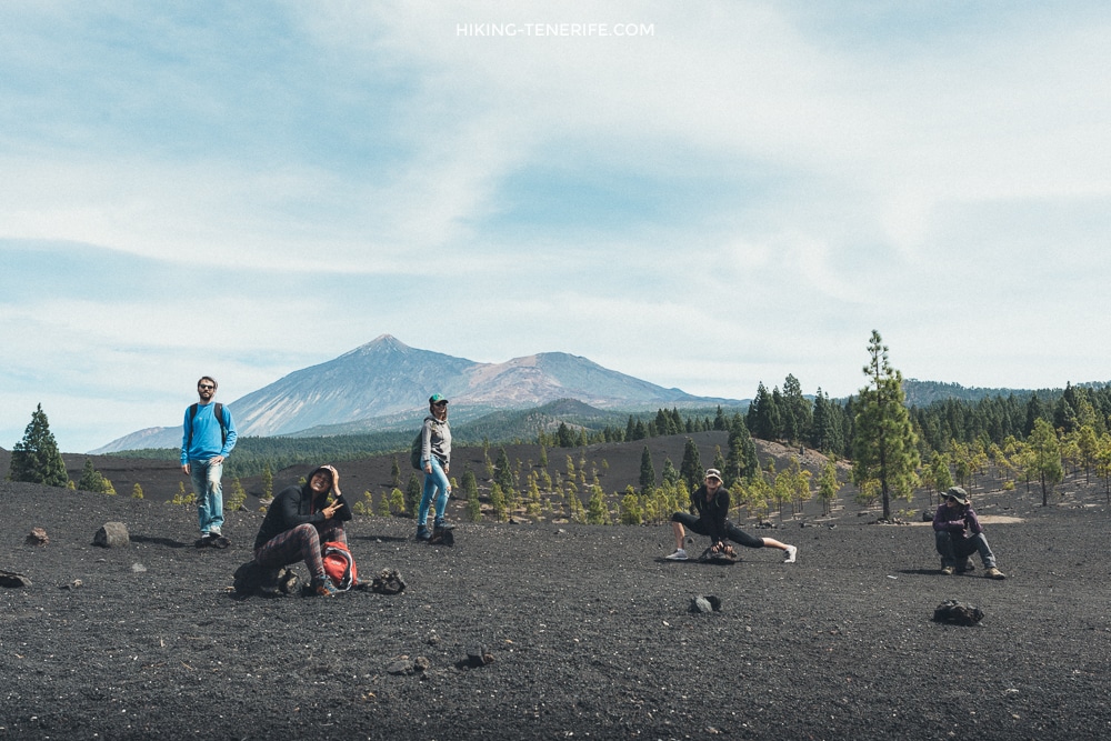
The official Arenas Negras–Chinyero information also warns that there are no water points.
Flowers, Gardens and the Part Nobody Should Pick
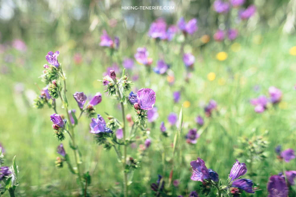
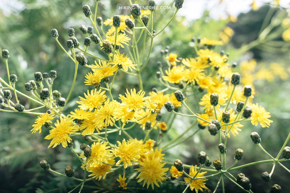
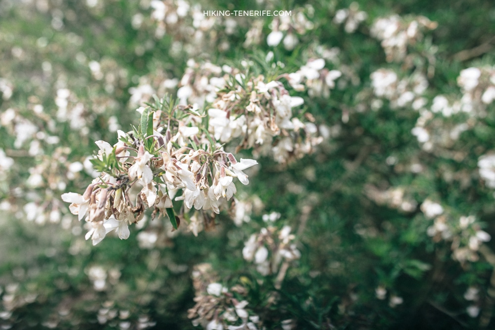
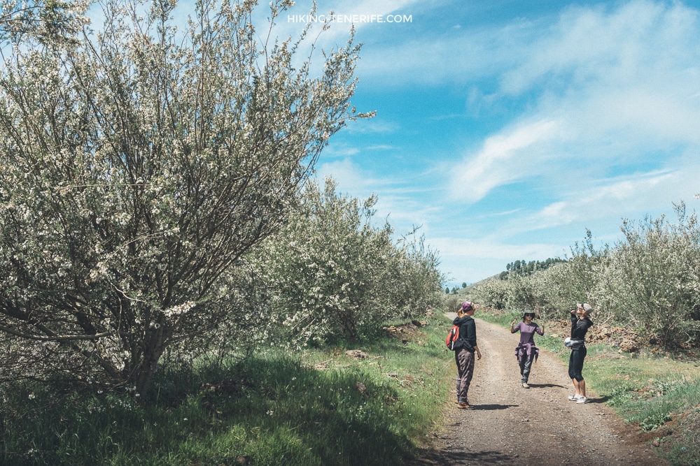
On one late-March walk, we found purple and yellow flowers, flowering shrubs and old Canary gardens. That is an observation from one season, not a calendar promise.
After a good winter, these mid-altitude sections can look generous. After a dry or windy one, they can look much quieter.
For red tajinaste timing and legal flower-viewing choices, use my flowering tajinaste guide. Stay on the marked route, never step into protected ground for a photograph and do not pick or move any plant.
Do not pick a branch. The bloom is still useful when you leave it for the next walker, insect and plant.
Black Lava, Pines and the Chinyero Volcano
The route becomes more open after the greener start.
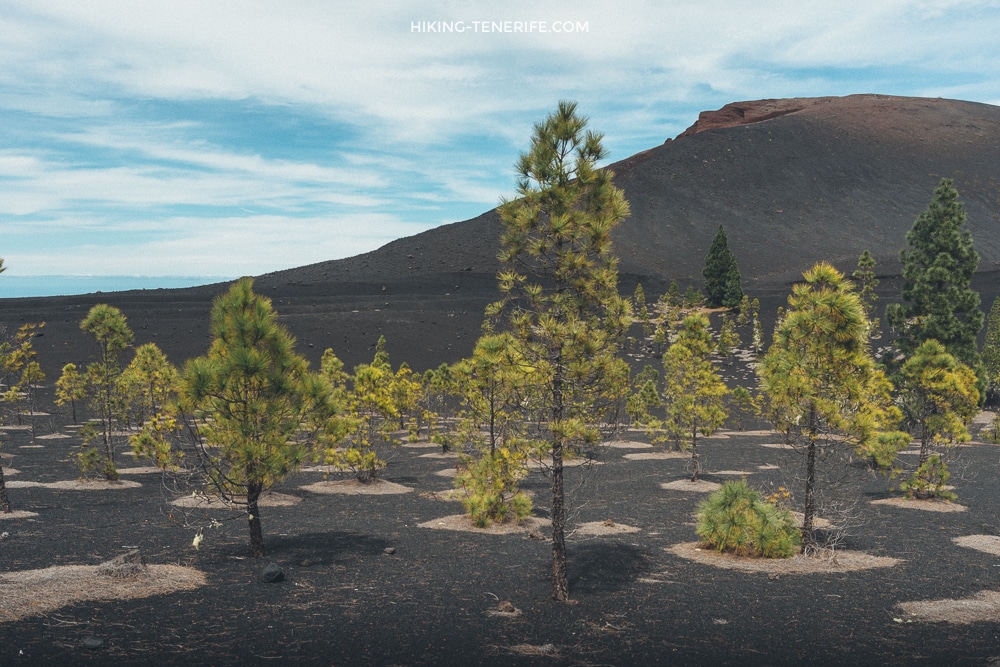
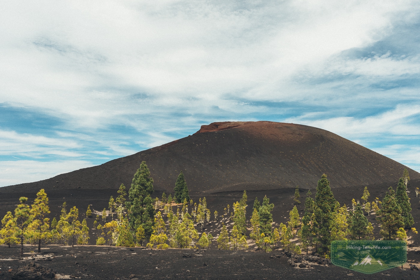
Young Canary pines stand in black lava. Teide moves in and out of the view, while Chinyero’s reddish cone changes the mood.
The volcano is not a prop for a ten-minute stop. The changing ground is the reason to walk.
Chinyero was Tenerife’s last eruption, in 1909.
That explains why the landscape feels young and raw beside the older, greener hills.
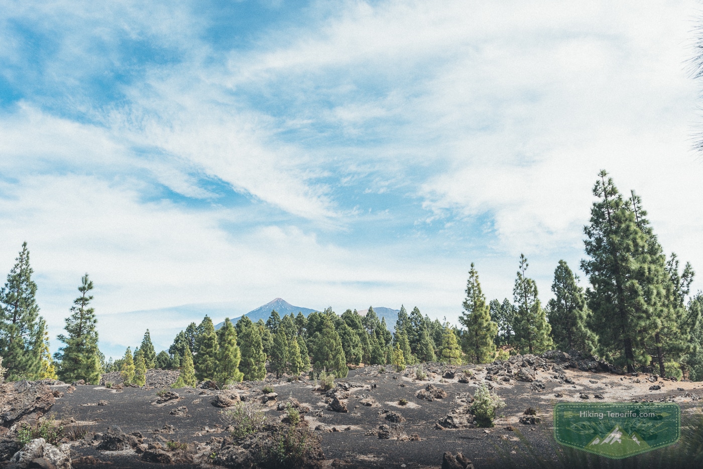
I would rather walk here in sensible light than arrive late with no water, no shade and an optimistic phone battery.
Can Families Do the Chinyero Route?
For children who already enjoy proper walking, the changing terrain, pines and volcano are more engaging than a flat promenade.
For a toddler, a pram, anyone with poor balance or a group expecting cafés and toilets every few kilometres, the full loop is the wrong family day.
My route had a much shorter option after the garden section, around 3.5 km with little ascent.
Check the current signing and trail planner before relying on that exact shortcut. A shorter route that is open beats a heroic loop finished by unhappy people.
Is February Almond Blossom Worth Planning Around?
It can be worth planning around, if you treat it as a flexible seasonal bonus rather than a booked guarantee.
The official Santiago del Teide almond route normally runs from late January to March, from the church square towards Las Manchas and Arguayo.
It is about 9 km and described as moderate. Flowering still responds to weather, rainfall and wind.
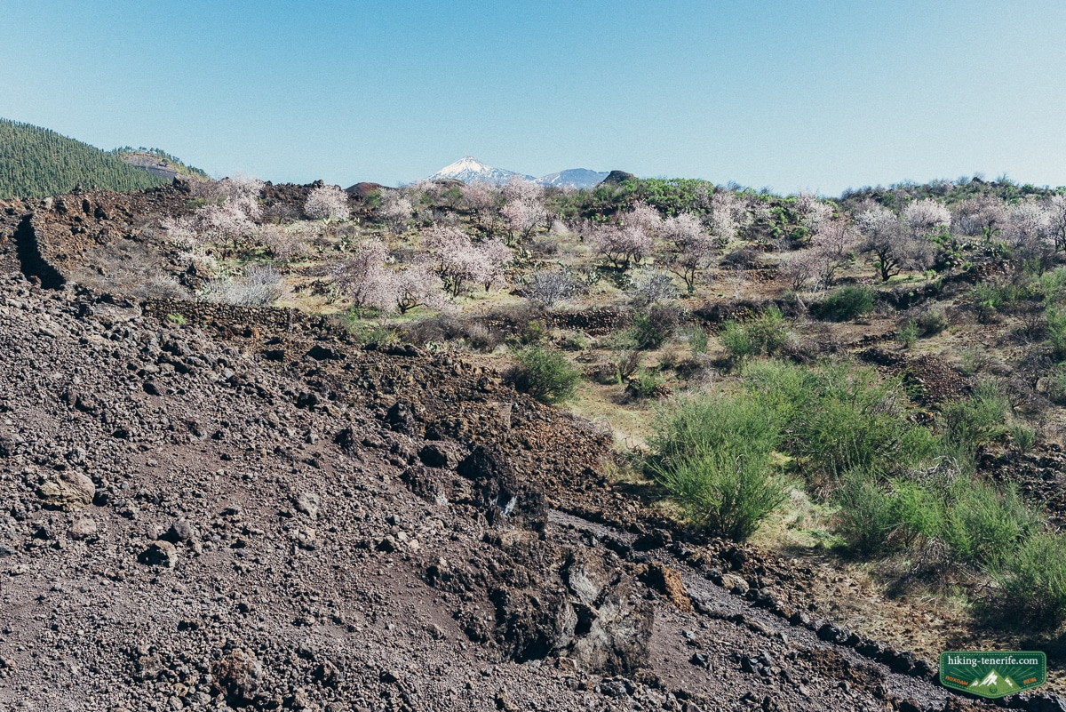
I would combine a blossom attempt with a Chinyero or west-side day only if the morning conditions and your energy make sense.
Do not drive into Teno or Masca afterward merely because the map has become emotionally persuasive.
Teno and Masca: Beautiful, Separate Decisions
For a greener, more humid spring walk, use Teno Rural Park and Monte del Agua. Expect forest, hills, fog and more route judgement.
For an Anaga alternative, read my Anaga Rural Park guide before you commit to the road.
Masca Gorge is not a casual add-on to either of them.
It has its own current booking, compulsory transport and boat-return rules. It can close when conditions are wrong.
Use the official Masca status page and my Masca village, road and parking guide before you leave. After rain, wind, a closure or a rough sea forecast, choose another day.
Teide in Spring: High Altitude Has Its Own Weather
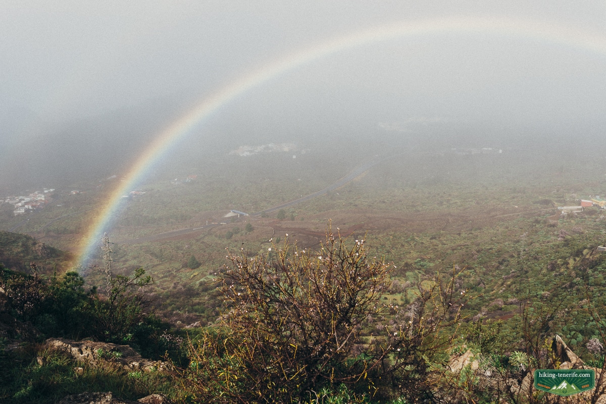
A warm south-coast breakfast says very little about Teide. High ground can be cold, windy, snowy, icy or closed while the coast stays sunny.
Read my Teide National Park guide, then check the current Tenerife ON alerts and reservations and the AEMET mountain forecast before driving uphill.
Several Teide trails require advance reservations, including controlled high-mountain routes. The summit path has its own access requirement, and a cable-car ticket is not a summit permit.
Official rules can require mountain footwear, warm clothing, water, a charged phone and other equipment. Snow or ice may bring stricter requirements or closures, so check the exact route rather than relying on an old screenshot.
Safety rule: missing permit, required equipment, open trail or safe weather means no high Teide hike that day.
Car, No-Car and Where to Base Yourself
A car makes the full Chinyero idea much easier. Read my Tenerife car-hire guide before booking if this is your main walking week.
Public transport can reach the wider area, but it adds a live timetable, a longer approach and less room to change plans.
I would not make this the first long hike for a no-car visitor with a fixed return flight, a young family or no offline map.
For a week with several spring walks, a south or south-west base gives the simplest weather fallback.
Use my South Tenerife, Los Cristianos and Playa de las Américas guides if convenience matters.
Choose the north for more forest and town character, not guaranteed resort weather. Start with North Tenerife, La Orotava and La Laguna.
Map note: Tenerife looks compact on a screen. Chinyero, Teno, Anaga and Teide still deserve separate days.
A Better One-Day Spring Plan
For a car day, start early around Chinyero.
Choose the long or shorter loop only after looking at the sky and the group. Eat somewhere sensible on the west side, then keep one scenic stop as a bonus.
A barbecue area near the finish sounded tempting in the original day. Treat any fire or recreation-area use as a live-rule question, not a tradition you are entitled to repeat.
For a no-car day, pick one compact route, one town or one coast, then leave the rest alone.
El Médano and its wind sports are a different plan. If that is your weather fallback, use the separate kitesurfing guide. Tenerife rewards fewer good choices, not a frantic island lap.
Local verdict: one good route, one good meal and daylight left over beats an island lap every time.
Want a calmer Tenerife route plan? Use my handcrafted guide for route order, timing, local context and a more careful way to explore without turning every junction into a guess.
If you still need to compare difficulty, permits and landscapes, use my best hikes in Tenerife shortlist rather than forcing this Chinyero day onto every group.
Spring Hiking Checklist
On the morning itself, check the exact route on Tenerife ON, AEMET warnings or mountain weather, road access and any Cabildo emergency or wildfire restrictions.
For high Teide, Masca or another booking-sensitive trail, check the exact reservation and operating rules too. If an alert, closure or emergency restriction conflicts with your plan, follow the official instruction. In an emergency, call 112.
- Proper footwear with grip; lava and wet forest are poor places for beach sandals.
- Water and food; do not assume a spring route has a tap or café.
- Sun protection and a warm or windproof layer in the same bag.
- Offline route, charged phone and a sensible turnaround point.
- Enough daylight to finish without racing the last kilometres.
- No flowers, rocks, branches or rubbish in the car except what you brought.
Safety rule: when visibility, footing, wind or the group’s confidence drops, turn around before the route becomes a story you tell too proudly. Tenerife will still be here tomorrow.
Hiking Tenerife in Spring FAQ
These are the questions that decide whether spring becomes your best Tenerife walking week.
They are also a useful reminder that impressive weather-app screenshots are not a route plan.
Is spring a good time to hike Tenerife?
Yes. Spring is excellent for varied walking days, flowers after rain, Chinyero lava-and-pine routes, Teno and Anaga forests, and careful Teide plans. The catch is microclimates: check the actual route rather than trusting the beach forecast.
Which month is best for flowers in Tenerife?
There is no fixed island-wide peak. Almond blossom around Santiago del Teide is normally a late-January-to-March possibility, while other flowers depend on altitude, winter rain, wind and the year. Keep the plan flexible.
Is February almond blossom worth planning around?
It can be worth it if your dates can move and you check local updates close to the trip. Do not book one exact day expecting every tree to be at its best; combine it with another west-side walk or town plan.
Is the Chinyero hike suitable for families?
The full source loop is long and exposed, although not technical. It can work for children who already like real walks. For younger children, prams or anyone who needs frequent facilities, choose a current short option instead.
Do I need a car for spring hiking in Tenerife?
A car makes routes such as Chinyero much simpler. Without one, build around a live TITSA timetable and choose a shorter route with a realistic return. Do not add a long exposed loop to a fragile bus connection.
Can I hike Masca Gorge in spring?
Only as a separate, current-status plan. Masca Gorge has its own booking, compulsory transport and boat-return rules, and weather or sea conditions can change access. Check the official Masca page before booking or driving there.
Final local verdict: hike Tenerife in spring for the moving landscape, not for a promise.
Let flowers be a reward. Let the forecast choose the altitude. Leave enough space for the island to be itself.

