

Short answer: the Montaña Blanca Teide hike is the demanding PNT 07 ascent from the TF-21 trailhead to La Rambleta, not an automatic route to the summit. The official profile is 8.3 kilometres one way, about 1,194 metres of ascent and roughly five hours uphill. Hike it only with the required Tenerife ON reservation, mountain equipment, verified trail status and a return plan that still works if the cable car closes.
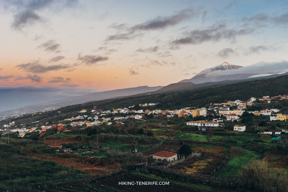
The old south-island road towards Teide changes character slowly.
You leave the coast, pass real towns and dry fields, then climb until beach Tenerife feels like a different island.
A Teide road trip and a high-altitude Montaña Blanca climb are not the same day. One can end with a viewpoint and lunch. The other starts with an honest look at your boots, water and turn-back plan.
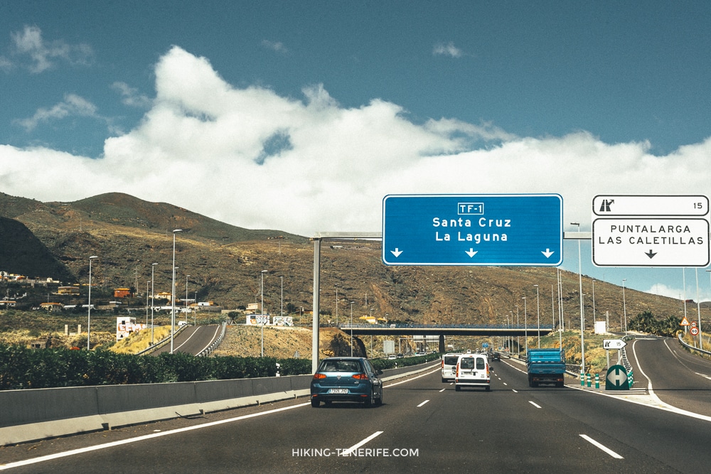
Quick Verdict: Should You Hike Montaña Blanca?
Choose it if you already enjoy sustained uphill mountain walking, have checked the live rules and conditions, can carry the required equipment and are content to stop short if the day changes. This is the old foot approach towards La Rambleta, not a cable-car substitute with better branding.
I would skip it after a late flight or with a group unsure at altitude. Skip it if you need a fixed finish, a guaranteed lift down or a simple no-car exit. Beautiful, yes. Effortless, no.
| Choose the full route if… | Choose another Teide day if… |
|---|---|
| You are a fit, experienced hiker with a confirmed current reservation and a conservative turnaround plan. | You want a first volcanic walk, a family day, stable facilities or a fixed afternoon reservation. |
| You understand that La Rambleta is not the summit and that a separate summit control can still end the plan. | Your main goal is a cable-car view, a sunrise photograph or simply seeing the caldera. |
| You can carry water, warm layers, proper footwear, a light, a charged phone and food without expecting a shop on the trail. | You are in trainers, sandals, beach clothes or depending on a café, tap or phone signal to rescue the plan. |
Local verdict: this is a rewarding route for a hiker who likes effort, volcanic scale and the possibility of turning around. For most first-time visitors, a lower marked walk plus the wider Teide National Park guide is the smarter memory.
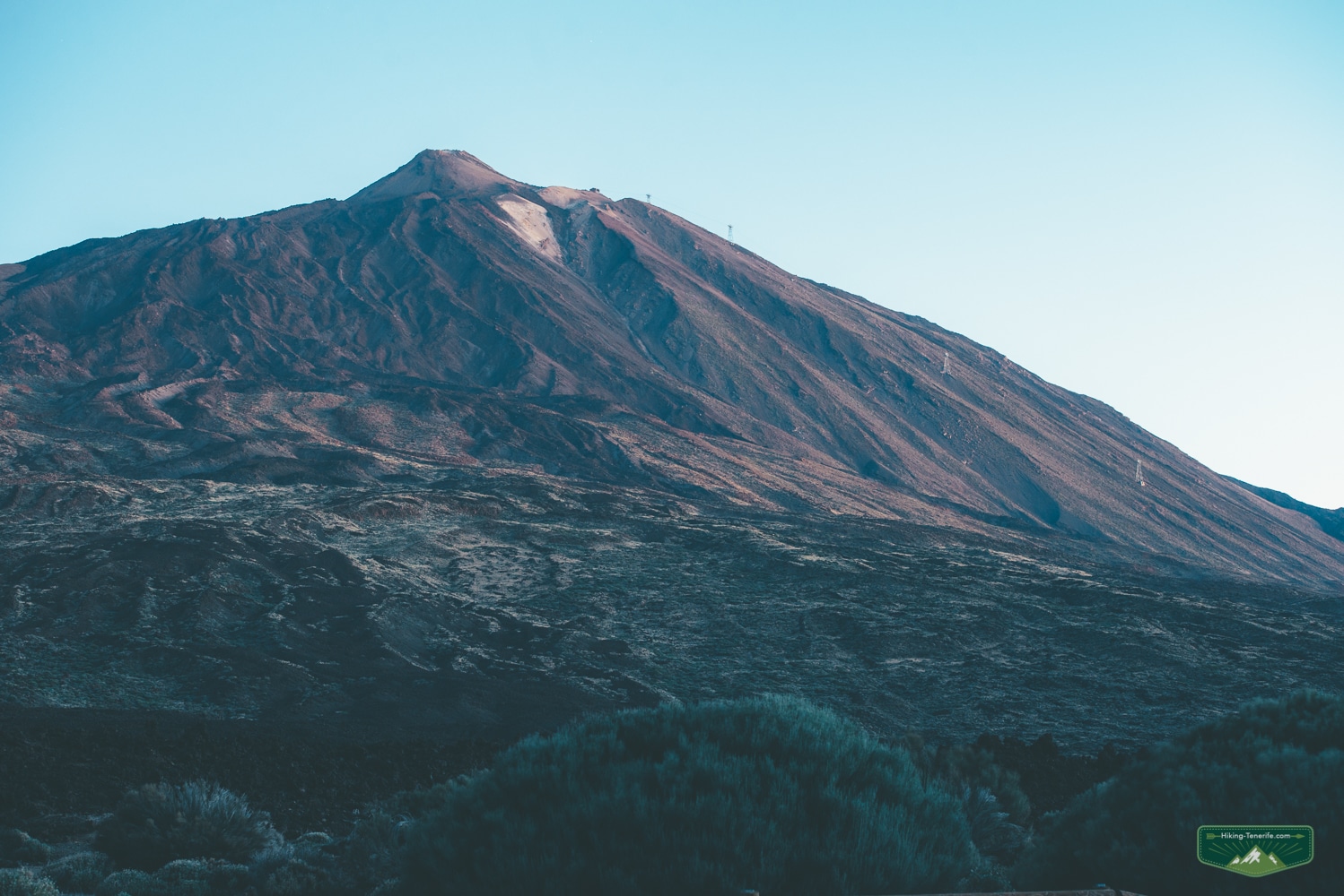
Montaña Blanca Route Quick Facts
These figures describe the one-way ascent to La Rambleta. They do not include the separately controlled Telesforo Bravo summit path or your return to the trailhead.
| Official route | PNT 07 Montaña Blanca to La Rambleta |
|---|---|
| Start | Foot of Montaña Blanca beside the TF-21, around kilometre 40.6 |
| Finish | La Rambleta and the Mirador de La Fortaleza area near the upper cable-car station |
| Distance | 8.3 km one way |
| Ascent | About 1,194 m |
| Official time | About 5 hours uphill, before breaks, controls or descent |
| Difficulty | High, with sustained climbing at altitude |
| Main planning risk | Depending on the cable car without being ready and authorised to walk back down |
Plan the whole day: the route profile ends at La Rambleta, but your transport problem does not. Decide before starting whether you will retrace PNT 07 or use a descent-only cable-car ticket if the service is operating.
What ‘White Mountain’ Actually Means
Montaña Blanca means White Mountain. The name belongs to the pale pumice landscape on Teide’s flank, not to the 3,715-metre summit itself. This is why maps, old blogs and holiday conversations can make it sound as if one easy road stop and the summit are the same place.
They are not. The official PNT 07 route begins at the Base of Montaña Blanca and heads uphill towards La Rambleta, beside the upper cable-car station. The summit is beyond that on the separate Telesforo Bravo path.
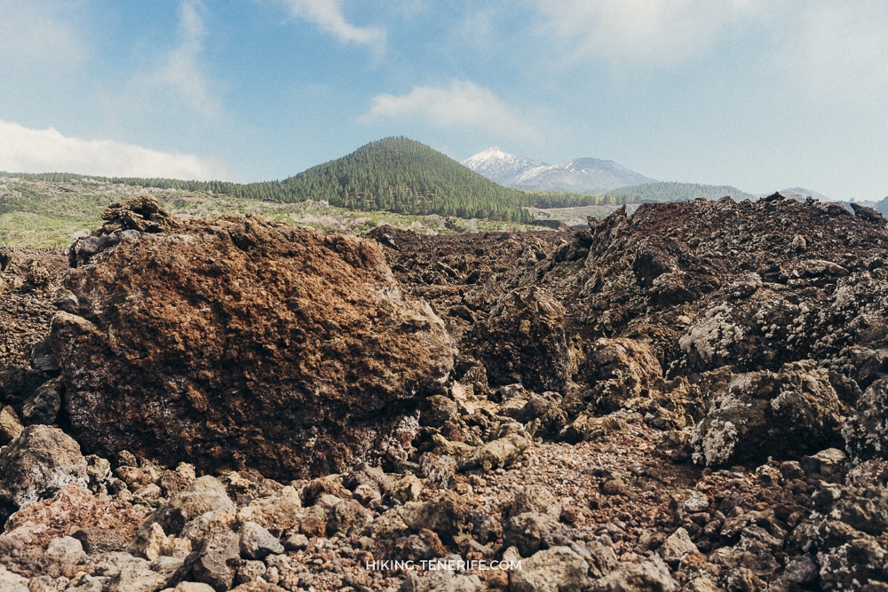
Route shape: the official profile describes a linear 8.3-kilometre ascent from about 2,349 metres to roughly 3,536 metres, with around 1,194 metres of climbing and an estimated five hours uphill. Treat that as a planning baseline, not a guaranteed pace or safe finish time.
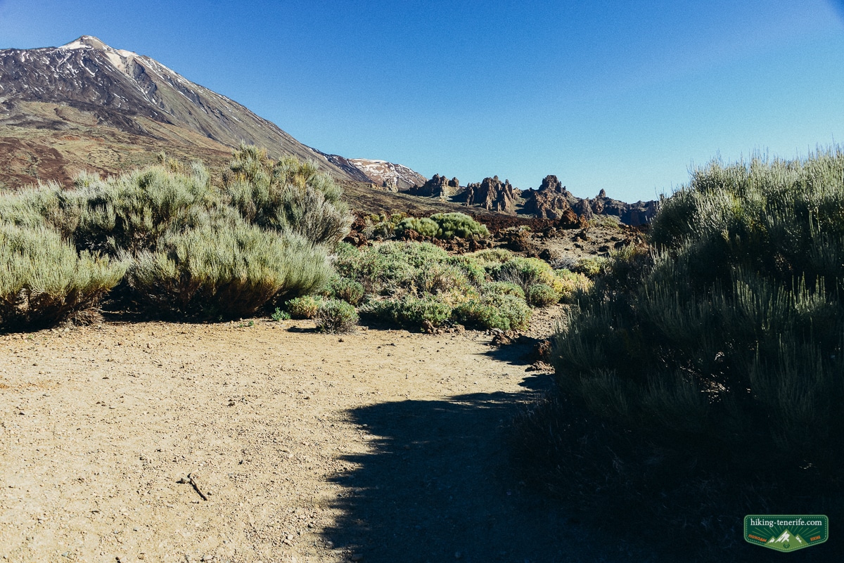
The lower Montaña Blanca track feels open and deceptively manageable.
Higher up, the old line steepens, the air thins and the landscape becomes much less forgiving of a casual holiday pace.
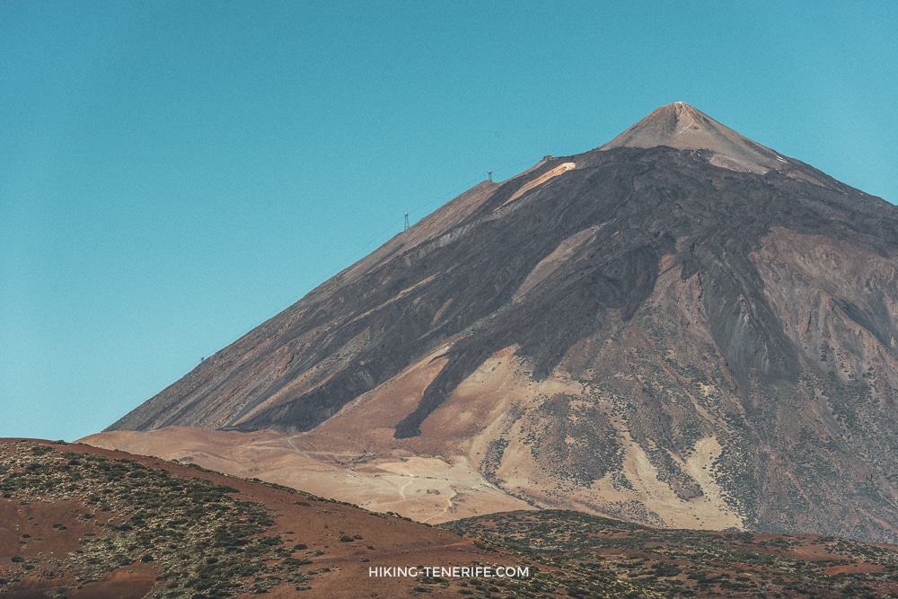
The Route Boundary: PNT 07, La Rambleta and the Summit
This is the most useful distinction in the whole article. If you only remember one thing, remember this: PNT 07 takes you towards La Rambleta; it does not automatically take you to Pico del Teide.
| Part of the day | What it means in practice |
|---|---|
| Base of Montaña Blanca | The trail approach. Treat road access and parking as a same-day check, not a promise from an article. |
| PNT 07 Montaña Blanca – La Rambleta | The high route towards the upper cable-car station. Tenerife ON currently treats this as a reservation route, with controlled access described around the upper Montaña Blanca section. |
| La Rambleta | The upper cable-car station and the end of this PNT 07 approach. It is high, exposed and still below the summit. |
| PNT 10 Telesforo Bravo | The final path from La Rambleta to Pico del Teide. It has a separate current summit authorisation and its own closure risk. |
Check it live: first open Tenerife ON’s current ascent rules. Then confirm the separate Pico del Teide permission if the summit is part of your plan.
Common mistake: assuming that an empty-looking lower track means the whole mountain is free to use. The controlled section, the summit permission, weather closures and equipment checks are separate gates. A screenshot from last season is not a plan.
The South Road Story: Santa Cruz to Vilaflor, Then a Different Mountain
The long road in this story starts around Santa Cruz.
It then threads through Candelaria, Arafo, Güímar, Arico and Granadilla de Abona before reaching Vilaflor. That is a lovely way to understand why the south feels dry, spacious and less obvious than the green north.
If you are sleeping in the city, give it a separate day with my Santa Cruz local guide. Do not attach it to a full Montaña Blanca hike.
Santa Cruz gives you the busy port-city beginning. Candelaria and Güímar slow the rhythm, while the Vilaflor climb replaces coast noise with stone, vines and pines.
El Médano is nearby if wind and kitesurfing are more your thing. Give it its own day too.
Use this map as an orientation for the old south-side road journey, not as a live navigation instruction. Road access, stopping rules and closures must be checked again on the day.
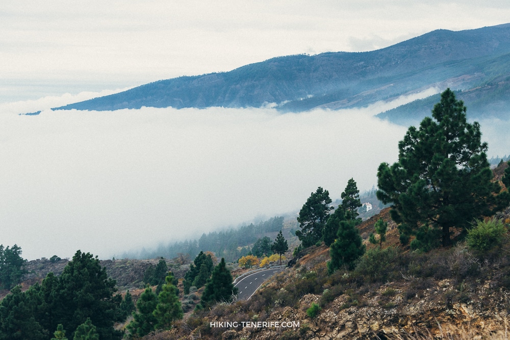
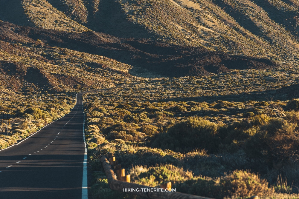
From Vilaflor, the road into the national park changes the scale completely.
Separate a scenic drive from the Montaña Blanca ascent. They will not fit comfortably between breakfast and sunset.
For a lower Vilaflor adventure, make the Lunar Landscape hike a separate day. It should not become a tired add-on after Teide.
If you want a south-coast base and a proper road day, start with Things To Do In South Tenerife. If you want a day built around the volcano rather than the drive, keep reading here and give Teide the whole day.
Montaña Blanca Trailhead, Road Access and Parking
PNT 07 starts beside the TF-21 at the foot of Montaña Blanca, around kilometre 40.6. This is not the cable-car base station, and its small roadside parking area should never be treated as a reserved space.
Check the access roads and Tenerife ON alerts on the day you travel. Snow, ice, wind, wildfire measures or emergency controls can close roads, parking areas or trails even when an older itinerary still looks usable.
Parking mistake: do not block the TF-21, gates or emergency access, and do not invent a roadside space when the trailhead is full. The cable-car car park is separate, has its own opening hours and does not solve an early PNT 07 start.
No-car reality: public transport may reach the national park, but a long ascent must still fit the live stop, the last return and your descent plan. If those pieces do not align with a generous safety margin, choose a lower Teide walk or a checked guided option.
The Current Access Gate: Reservation, Cable Car and Refuge Reality
PNT 07 is not a route to arrive at and negotiate with confidence alone.
Access can change: Tenerife ON’s current route rules require a reservation for the controlled high-mountain access. The Cabildo can close the route for weather, ice, wind, fire risk or other safety reasons.
The cable car is a different service. It is not an emergency exit you can assume will be running.
Its timetable and operation can change with wind, weather and technical conditions. Check the operator’s current status and opening information before leaving your accommodation.
Do not use an old refuge plan: older Teide route descriptions treat Altavista as a fixed overnight step. Only use an overnight arrangement when the official park or operator confirms the legal, bookable option for your exact date and route.
A summit authorisation is not a cable-car ticket. A cable-car ticket is not PNT 07 access. Neither one promises that the road, weather, trail or your own group will be suitable.
Safety rule: if the route, road or cable car is closed, do not search for a side track, start late, walk around a barrier or use a night ascent as a workaround. Choose a lower Teide day or save the route. The volcano will survive your changed plan.
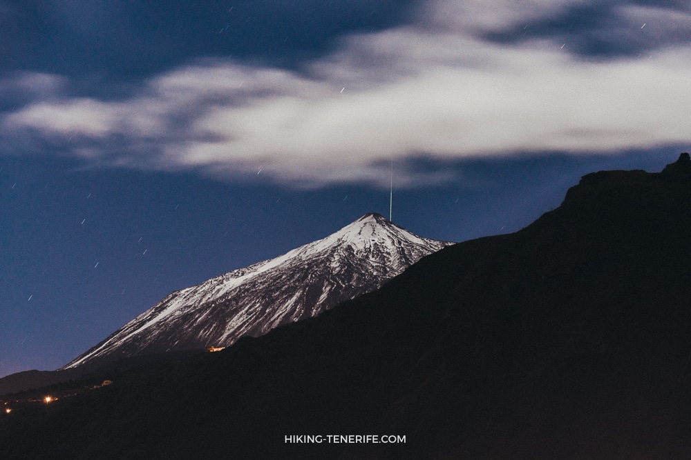
Required Equipment, Weather and Altitude
The official high-mountain rules require suitable mountain footwear and warm clothing. Carry the full minimum kit named for these controlled trails: a thermal blanket, enough water, a charged mobile phone and a headlamp or torch.
- Closed, high-grip mountain footwear
- Warm and windproof layers, plus long mountain trousers
- Thermal blanket and headlamp, even for a daylight plan
- Water and energy food for the complete ascent and return
- Charged phone, offline booking proof and identification
- Sun protection, sunglasses and high-SPF sunscreen
Altitude rule: headache, nausea, dizziness, unusual weakness, confusion, loss of coordination or chest symptoms are reasons to stop and descend. Do not turn a worsening symptom into a summit challenge. Anyone with a relevant medical condition should obtain personal medical advice before planning this high-altitude day.
Cold and wind are not the only risks. The open pumice slope can also bring strong heat, intense UV and dehydration, while the upper route can be much colder minutes later.
Night hiking is not a loophole: darkness does not cancel reservation, closure or equipment rules. For sunrise planning, use the separate Mount Teide sunrise guide and verify the exact activity currently permitted.
Altitude, Time and the Sensible Turnaround
The difficult part is not one dramatic move.
It is the accumulated uphill, loose ground, exposure, thin air, sun and the long decision of whether to continue when the day is no longer comfortable.
Start with more daylight than you think you need. That does not mean starting late.
Set the turnaround first: choose it before leaving the car, keep food and water for the descent, and let the slowest confident person set the pace.
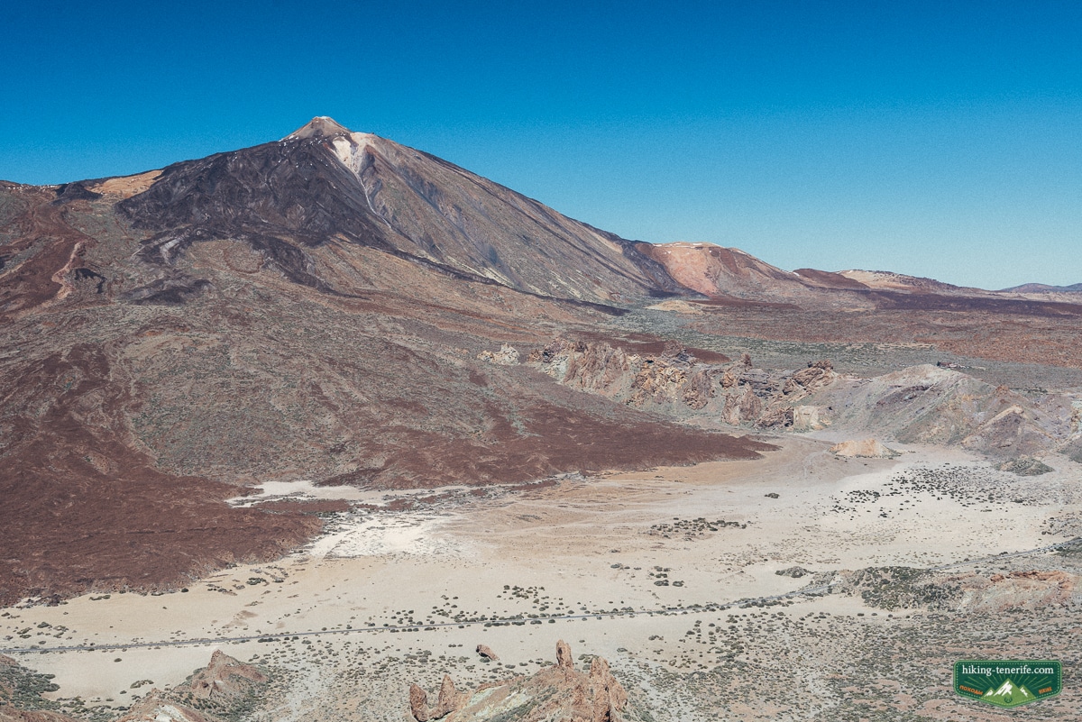
- Closed mountain footwear with real grip, not beach shoes.
- Warm jacket, long trousers or tights, hat and gloves when conditions call for them.
- Water, food, a charged phone, headtorch or torch, and a thermal layer or blanket.
- A downloaded route and a battery plan; do not assume continuous mobile coverage.
- A clear answer to ‘what makes us turn around today?’ before the first steep section.
Plan like this: consider a dull forecast, harder breathing, cold hands, ice, wind, an equipment problem or a tired companion as information, not something to win an argument with. Turn around early enough that the descent stays calm.
I cannot clear anyone medically for high altitude, and neither can a cheerful weather app. Judge your own health, experience and group honestly; follow the park’s advice and choose the lower option when the answer is uncertain.
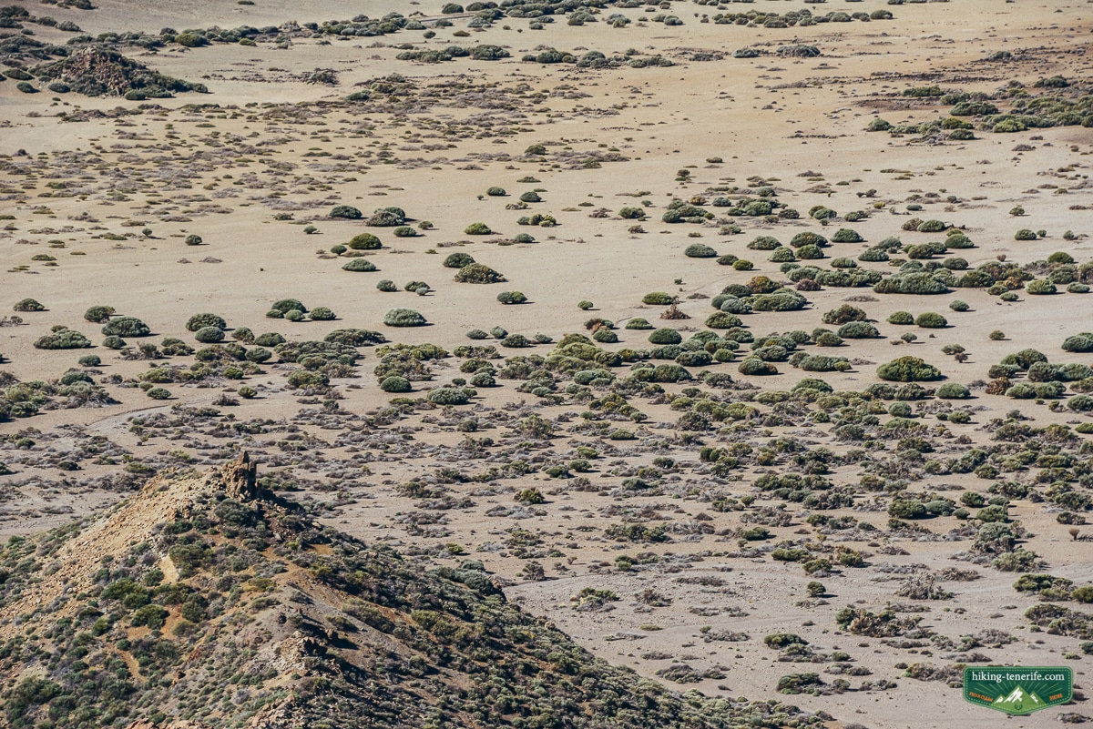
Full Route, Cable Car or a Lower Teide Walk?
The best Teide plan is the one that matches your real energy.
There is no shame in seeing the volcano from lower ground. For families, careful first-timers and people on holiday, it is often the more enjoyable choice.
Do not downgrade the lower walk: the caldera is extraordinary without turning the day into an ordeal.
| Choose | Best for | Do not expect |
|---|---|---|
| Full Montaña Blanca route | Experienced, fit hikers who have current access sorted and want a long uphill mountain day. | A casual summit tick, fixed timing, a guaranteed cable-car descent or easy retreat. |
| Cable-car visit | Visitors who want upper-mountain views in daylight and can adapt to live operating conditions. | Automatic summit access, a substitute for a permit or an all-weather guarantee. |
| Lower marked Teide walk | Families, photographers, careful first-timers and anyone who wants volcanic scenery with simpler consequences. | A lesser experience. The caldera is extraordinary without the full ascent. |
| Viewpoint or road day | Drivers with limited time, changing weather or mixed-energy groups. | A hiking achievement. Keep the road and stopping rules honest. |
For a hike-first holiday, compare this route with the best hikes in Tenerife. For a sunrise or early high-altitude decision, use the separate Mount Teide sunrise guide rather than forcing a summit plan into a single dramatic morning.
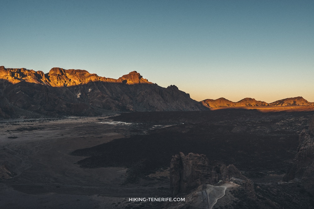
Planning a complete Teide day? My handcrafted route guide helps you order the roads, viewpoints and timing without confusing a scenic park visit with the controlled Montaña Blanca ascent. Always follow live Tenerife ON rules.
Photography, Fragile Ground and the Way Back Down
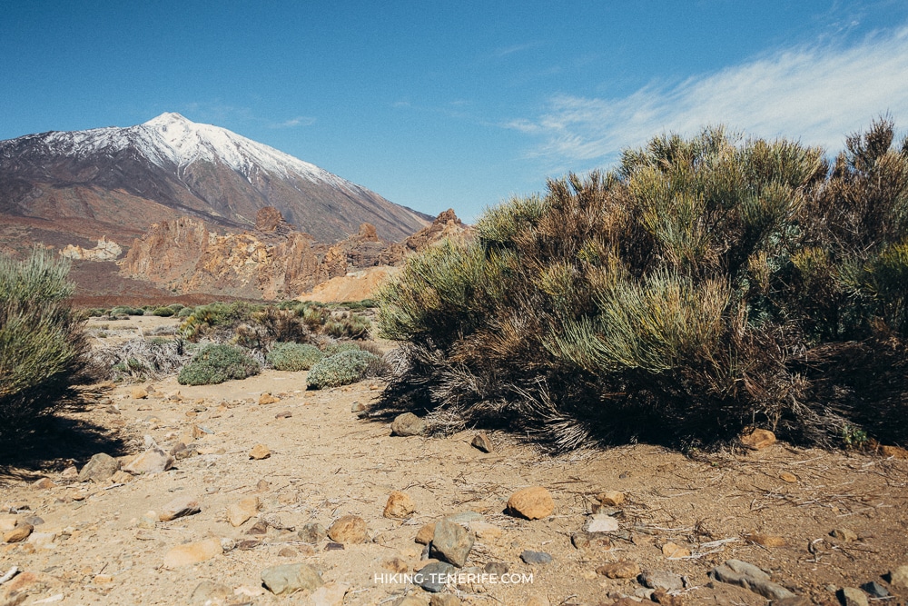
Montaña Blanca is photogenic because it is bare, pale and strange.
That is not an invitation to leave the path for a cleaner foreground. Pumice, sparse plants and volcanic ground recover slowly.
Photograph it carefully: stay on marked ground, keep noise low and take every scrap home. Do not use the crater, plants or other walkers as props.
If cloud replaces your postcard, photograph the weather. It is part of the real mountain.
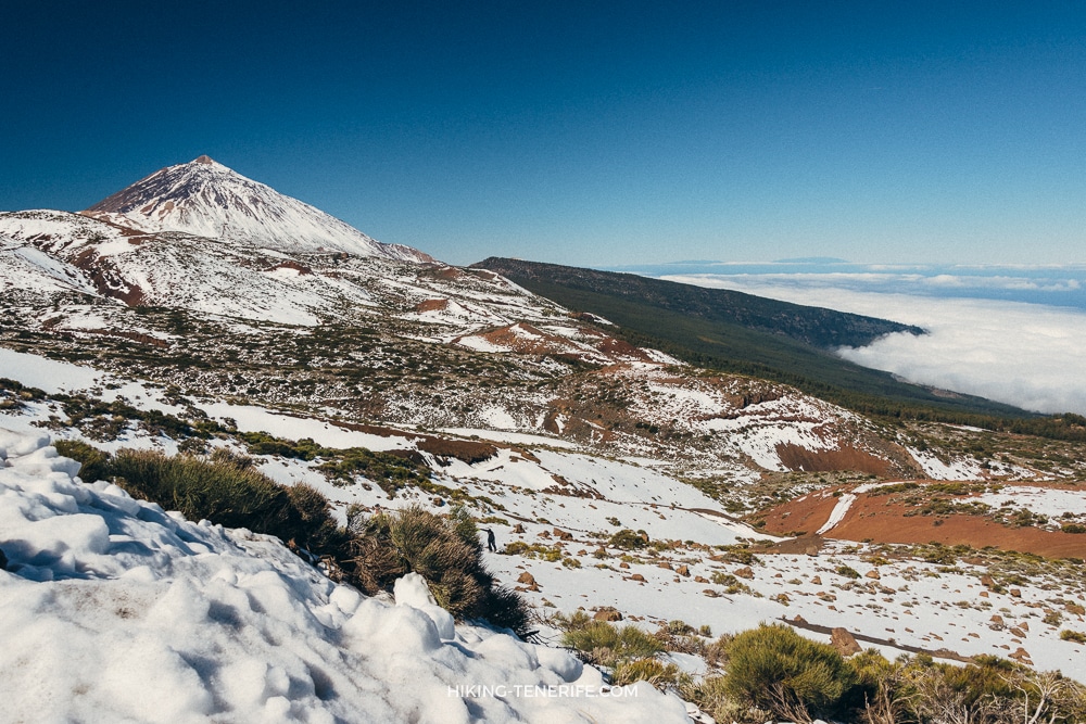
The descent deserves the same concentration as the uphill.
Tired knees, fading light, a cold wind and a delayed cable car can turn the final part into the risky part.
Keep the descent calm: carry food, water and enough daylight for the way down. Reaching La Rambleta is not the end of your decisions.
The best Montaña Blanca day is not the one with the biggest summit story. It is the one where everyone comes down with enough energy to remember why Teide felt special.
Montaña Blanca Teide Hike FAQ
Is Montaña Blanca the same as Mount Teide?
No. Montaña Blanca is the pale volcanic feature and route approach on Teide’s flank. The PNT 07 route goes from its base towards La Rambleta; the final summit is reached only by the separate Telesforo Bravo path when current rules allow it.
Does the Montaña Blanca hike take me to the summit?
Not by itself. PNT 07 ends at La Rambleta near the upper cable-car station. The final PNT 10 Telesforo Bravo section to Pico del Teide is separately controlled, so verify current permission, status and conditions before you plan it.
Is the Montaña Blanca Teide hike suitable for beginners?
Not as a casual first mountain hike. The route is high, steep in places and exposed to fast-changing conditions. A lower marked Teide walk or a daylight cable-car visit is the more honest first answer for many visitors.
Can I do Montaña Blanca without a car?
Do not assume public transport will solve a long high-mountain day. Check the live TITSA journey, the final return and the trail access before committing. If those pieces do not line up cleanly, choose a lower Teide plan or a checked guided option.
Where do I park for the Montaña Blanca Teide hike?
The PNT 07 trailhead is beside the TF-21 around kilometre 40.6, not at the cable-car base. Parking is limited and not guaranteed, so check live road controls, never obstruct the highway or emergency access and keep a backup plan.
Is the Montaña Blanca hike suitable for children?
Not as a casual family walk. The sustained ascent, altitude, exposure and return logistics require mountain experience, suitable equipment and a conservative decision for each child. Most families will get a better Teide day from a lower marked walk.
With you was Dima. Pack for the mountain you are visiting, not the beach you left behind.

