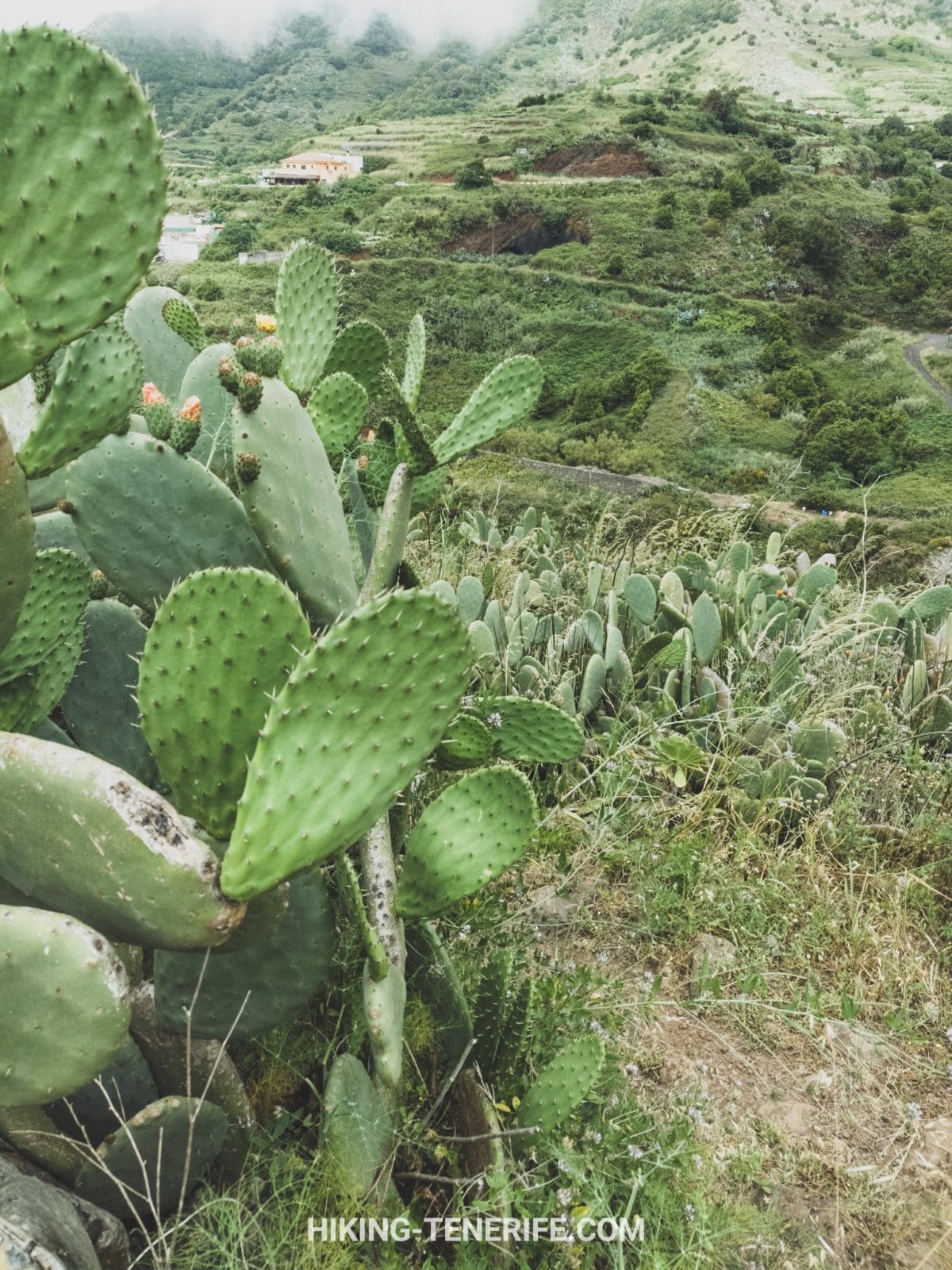

Short answer: the most defensible Monte del Agua hike is PR-TF 52 from Erjos to Las Portelas. It is a 10.7 km linear route through the green side of Teno Rural Park, so the return journey matters as much as the walk.
Choose this route for laurel forest, rural Teno and a quieter mountain day. Do not choose it as a casual loop from El Palmar unless you have an exact current route file and understand which PR-TF 52 branch you are using.
Teno is officially Teno Rural Park, or Parque Rural de Teno, not a national park. It is a protected landscape where villages, farming and remarkable natural habitats share the same massif.
Which Monte del Agua Route Should You Choose?
There is no single universal route called the Monte del Agua loop. The signed network gives you one main traverse, two El Palmar branches and a separate short accessible experience near Erjos.
| Route choice | Official shape and facts | Best for |
|---|---|---|
| PR-TF 52 Erjos to Las Portelas | Linear, 10.7 km, about 2 h 30 min, intermediate, 240 m ascent and 547 m descent | A complete signed forest traverse with transport arranged |
| PR-TF 52.1 via Las Huertas | Linear branch to El Palmar, 2.5 km, about one hour, low difficulty | A shorter El Palmar connection |
| PR-TF 52.2 via Las Lagunetas | Linear branch to El Palmar, 3.8 km, about one hour, low difficulty | A longer El Palmar connection |
| Accessible Monte del Agua route | 1.6 km return on compacted ground, with a short steeper section | A separate mobility-friendly forest visit near Erjos |
Map note: PR-TF 52.1 and 52.2 do not turn the main Erjos to Las Portelas trail into an automatic loop. If your plan starts in El Palmar and returns there, verify the complete line, distance, ascent and legal connectors before leaving.
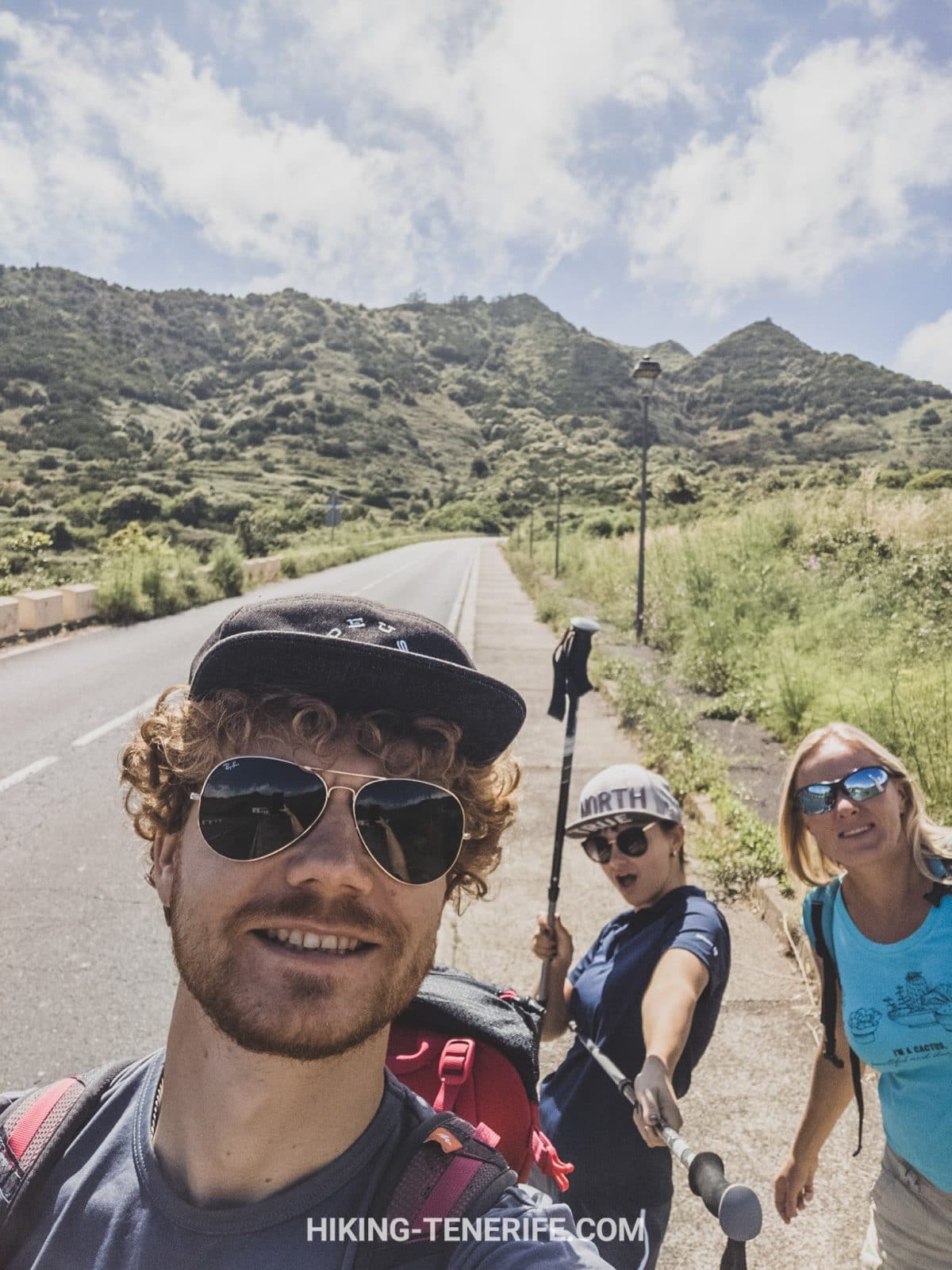
The primary route starts in Erjos near the TF-82 and finishes in Las Portelas. Its official altitude range is roughly 1,035 to 689 metres, with much more descent than ascent when walked in that direction.
The published 2 h 30 min is a route estimate, not a promise. Add time for photos, slippery ground, navigation checks and the return connection. A relaxed first visit can easily occupy most of a half day.
PR-TF 52 From Erjos to Las Portelas
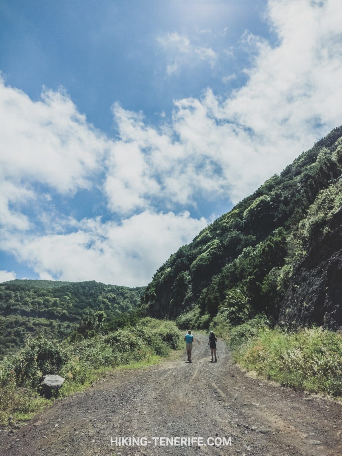
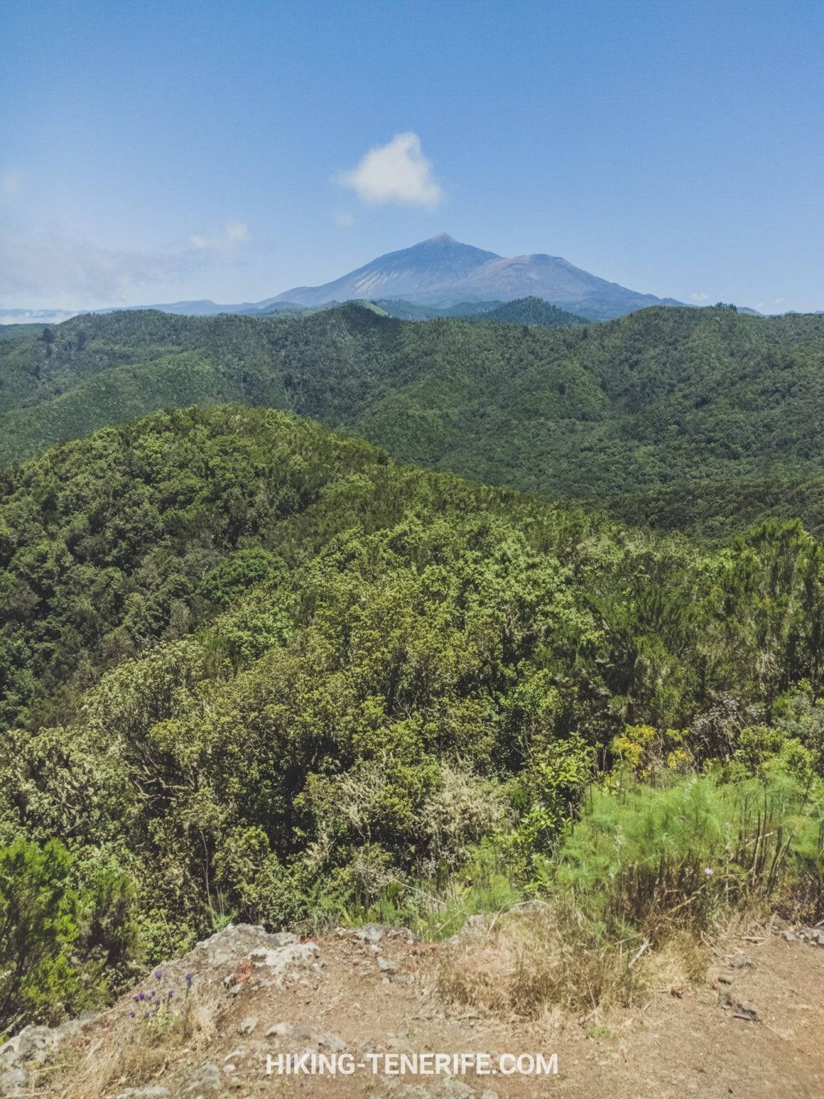
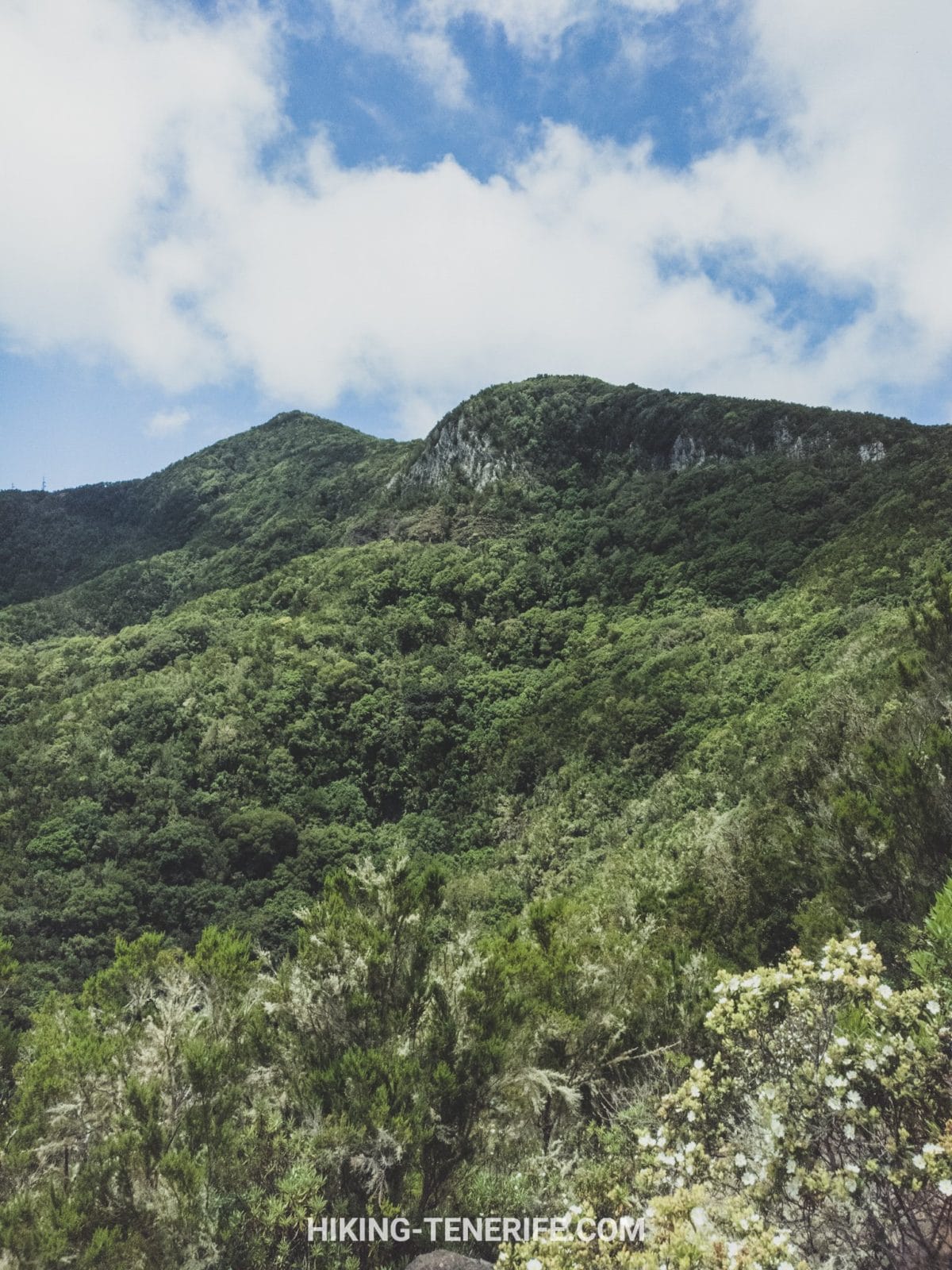
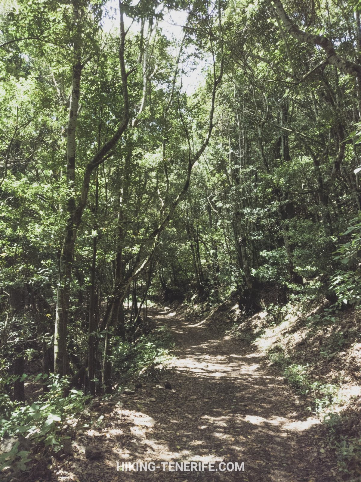
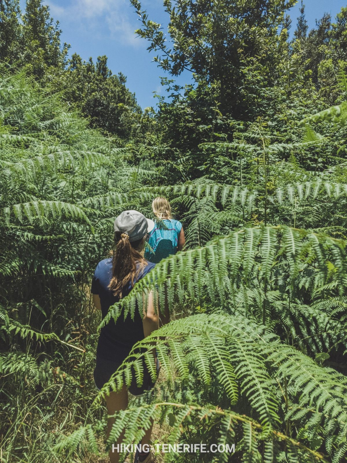
From Erjos, the signed route reaches the Monte del Agua track and enters monteverde. The forest is the point of the day: laurel relatives, heather, ferns, moss and cloud-fed moisture create a landscape very different from Tenerife’s dry south.
Keep following PR-TF 52 toward Las Portelas. Do not follow an attractive side track simply because an old app or footprint suggests it. The route connects with several other paths, which is useful only when you already know which junction belongs to your plan.
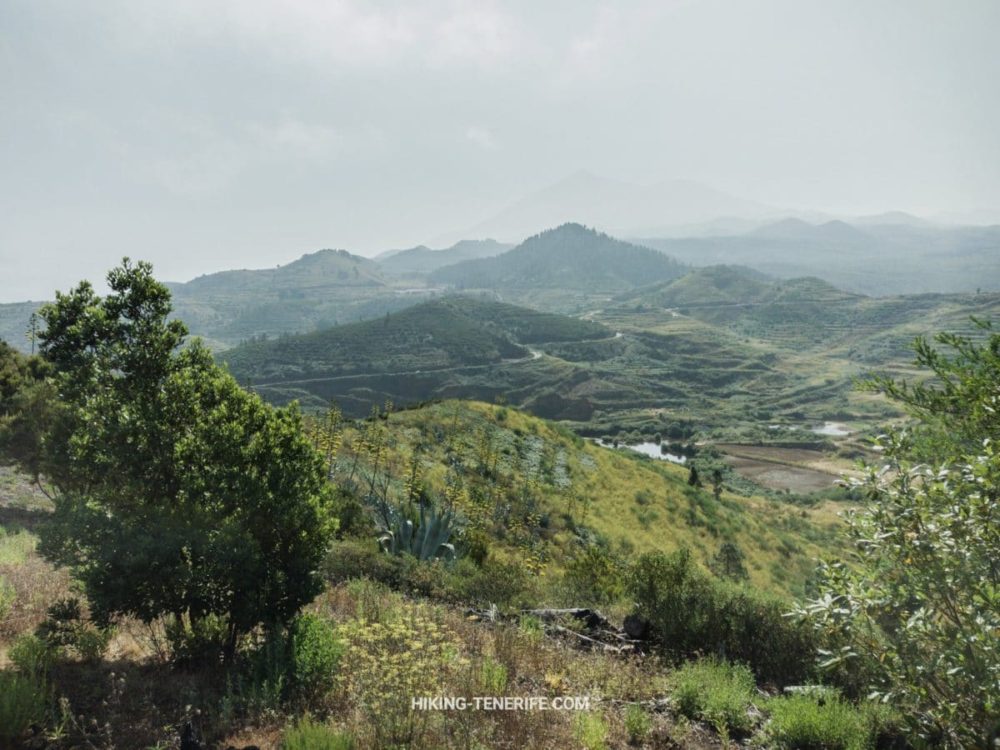
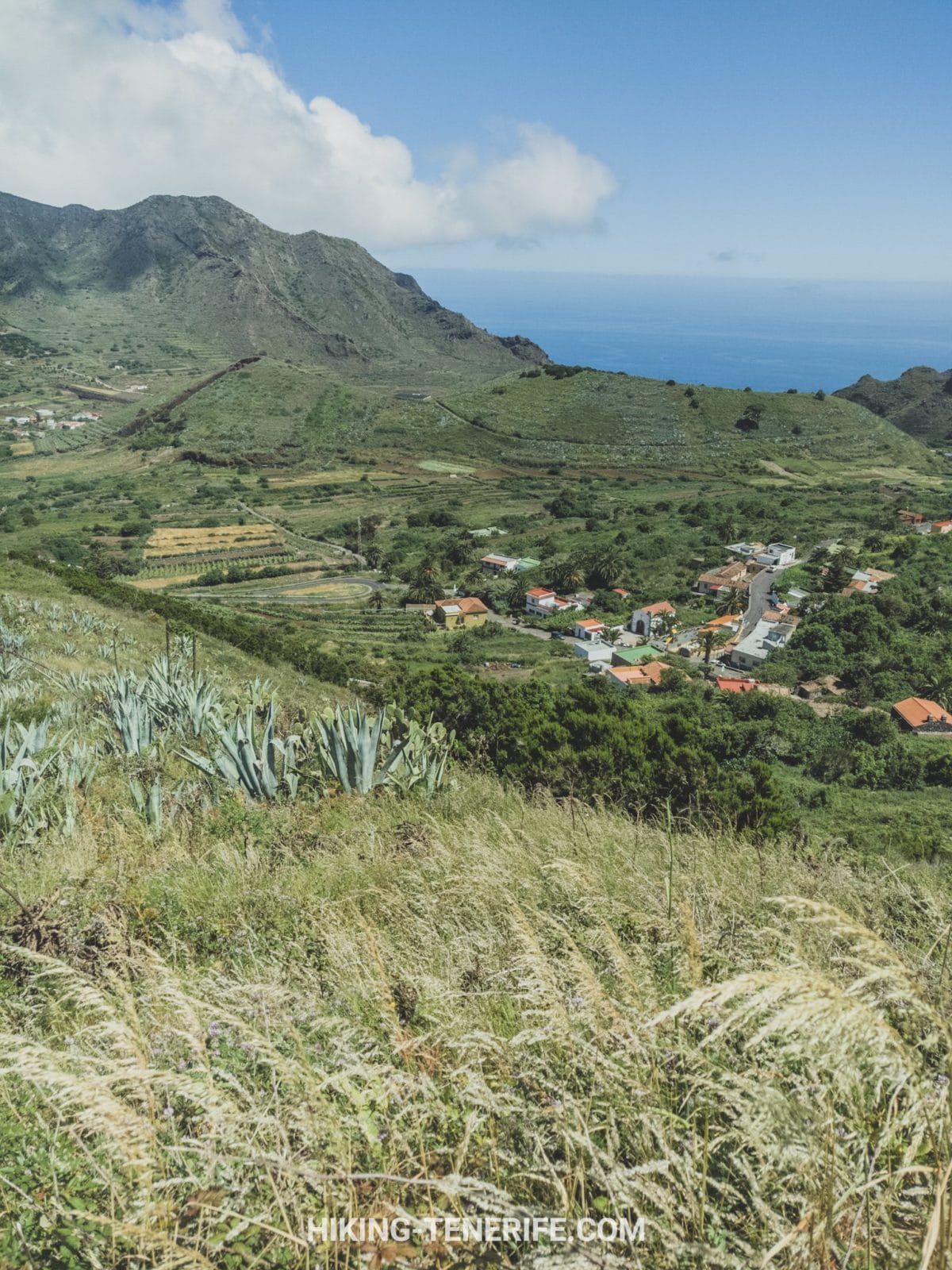
The route gradually loses height toward the agricultural side of Teno. That makes the Erjos to Las Portelas direction attractive, but a long descent can still be tiring on knees and slippery after rain.
If you want El Palmar rather than Las Portelas, choose the signed 52.1 or 52.2 branch deliberately. They are different official routes with different lengths, not interchangeable names for the same loop.
Local verdict: choose the full PR-TF 52 when the forest traverse is your main plan. Choose an El Palmar branch when you have solved the start, finish and transport around that exact line. Vagueness is not adventurous route planning.
Fog, Mud, Rain and Footwear
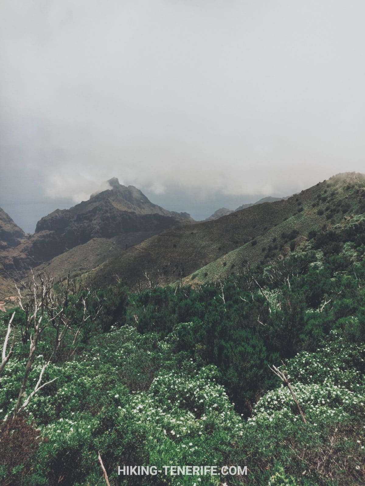
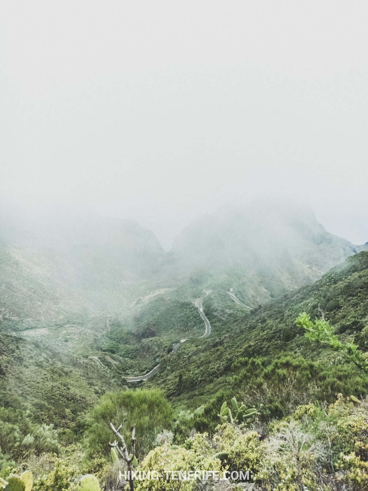
Monte del Agua grows from moisture. Even when the coast is bright, the forest can be cool, foggy and wet underfoot. Cloud is part of the ecosystem, but it also changes visibility, temperature and navigation.
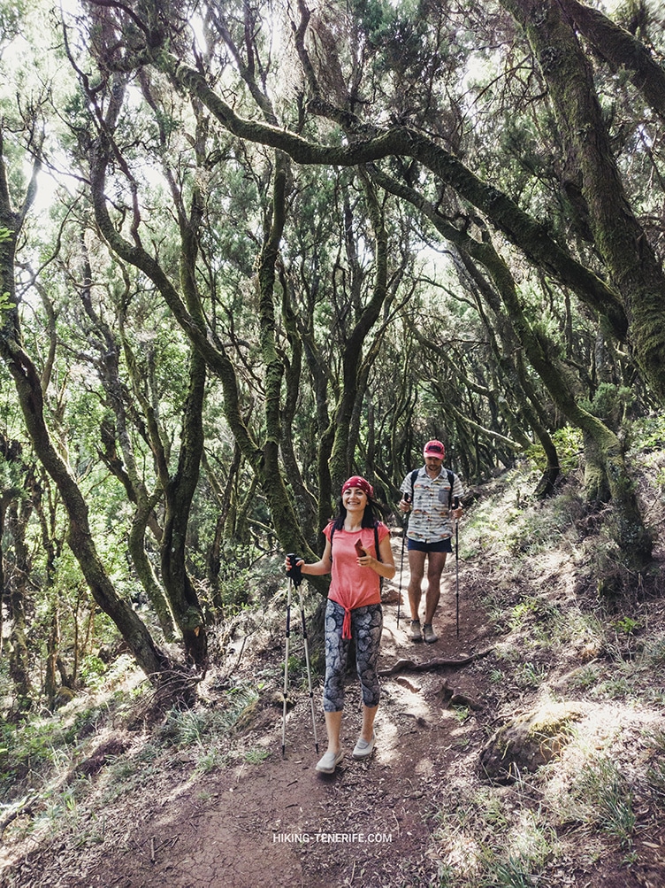
Wear closed hiking shoes with grip. Roots, compacted earth and stone can become slick after rain, while lower open sections may feel warm and exposed.
- Carry a light waterproof and one warm layer.
- Download the route for offline use before entering the forest.
- Take enough water and food for delays; do not rely on a trail café or tap.
- Keep the group together and turn back if fog removes your navigation confidence.
- Leave enough daylight for both the walk and the return connection.
Safety rule: check Tenerife ON alerts, the current trail record and the official weather warning before departure. A route fact can be stable while the trail, forest access or road is temporarily closed.
Mobile coverage can be inconsistent inside Teno’s folds and forest. A charged phone is useful, but an offline map, a shared plan and a turnaround time are the real backup.
Start, Parking, Buses and the Return Plan
For the official traverse, start at Erjos and finish at Las Portelas. Parking in small settlements is limited and shared with residents, so use legal marked spaces without blocking gates, homes or narrow roads.
Common mistake: driving to one end of a linear hike and only then checking how to get back. Solve the return before you start walking.
Option 1: Two Vehicles
The simplest independent plan is to leave one vehicle legally near the finish and use the other for the start. It costs time before the hike but removes dependence on a sparse rural timetable.
Option 2: TITSA and a Timetable-First Day
TITSA lines serve Buenavista, El Palmar, Las Portelas and the Masca corridor, but service varies by line and day. Line 366 is particularly limited. Check the exact stop, direction and last useful return in the live TITSA timetable.
Build the walk around the bus, not the other way round. A screenshot from a previous season is not evidence that today’s connection still works.
Option 3: A Shorter Official Route
If the return does not work, choose one signed branch or the accessible route instead of inventing a loop. A shorter route with a reliable finish is a better day than a long route followed by a transport problem.
Planning the wider north-west day? My free Tenerife map helps you group the forest, a meal and one flexible coast stop without turning Teno into a road marathon.
Permits, Closures and Protected-Area Rules
The official PR-TF 52, 52.1 and 52.2 records currently list no authorisation requirement. That does not mean access is guaranteed every day. Weather, fire risk, maintenance and emergency measures can close trails or forest roads.
Check Tenerife ON at completion-day and again on the morning of the hike. Follow closure tape and current signs even when a downloaded map shows the route as open.
- Stay on signed paths and do not create shortcuts.
- Do not collect plants, berries, stones or other natural material.
- Carry all rubbish out.
- Never light a fire or use a flame in the forest. Follow any current smoking and fire-risk restrictions.
- Keep noise low around wildlife, farms and homes.
Dogs need a separate live check. Protected-area rules, livestock, wildlife and temporary controls can affect where a dog may go and how it must be managed. If current official guidance is not clear, contact the park office before bringing one; never allow a dog to chase animals or leave the signed path.
Families, Dogs and Accessibility
The full 10.7 km traverse suits active families with school-age children who already handle uneven mountain paths. It is not a pram walk, and its point-to-point logistics make an early exit awkward.
For toddlers, uncertain walkers or anyone who needs predictable surfaces and rest points, choose the separate accessible Monte del Agua route near Erjos. The Cabildo describes a 1.6 km return route on compacted ground with seating, guidance features and reserved parking.
Accessibility detail: the accessible section itself has an average gradient of about 4%, with a short section around 10%. The ordinary connecting path from Erjos is not accessible, so use the designated access information rather than assuming the village approach works for every visitor.
Teno Rural Park Beyond Masca
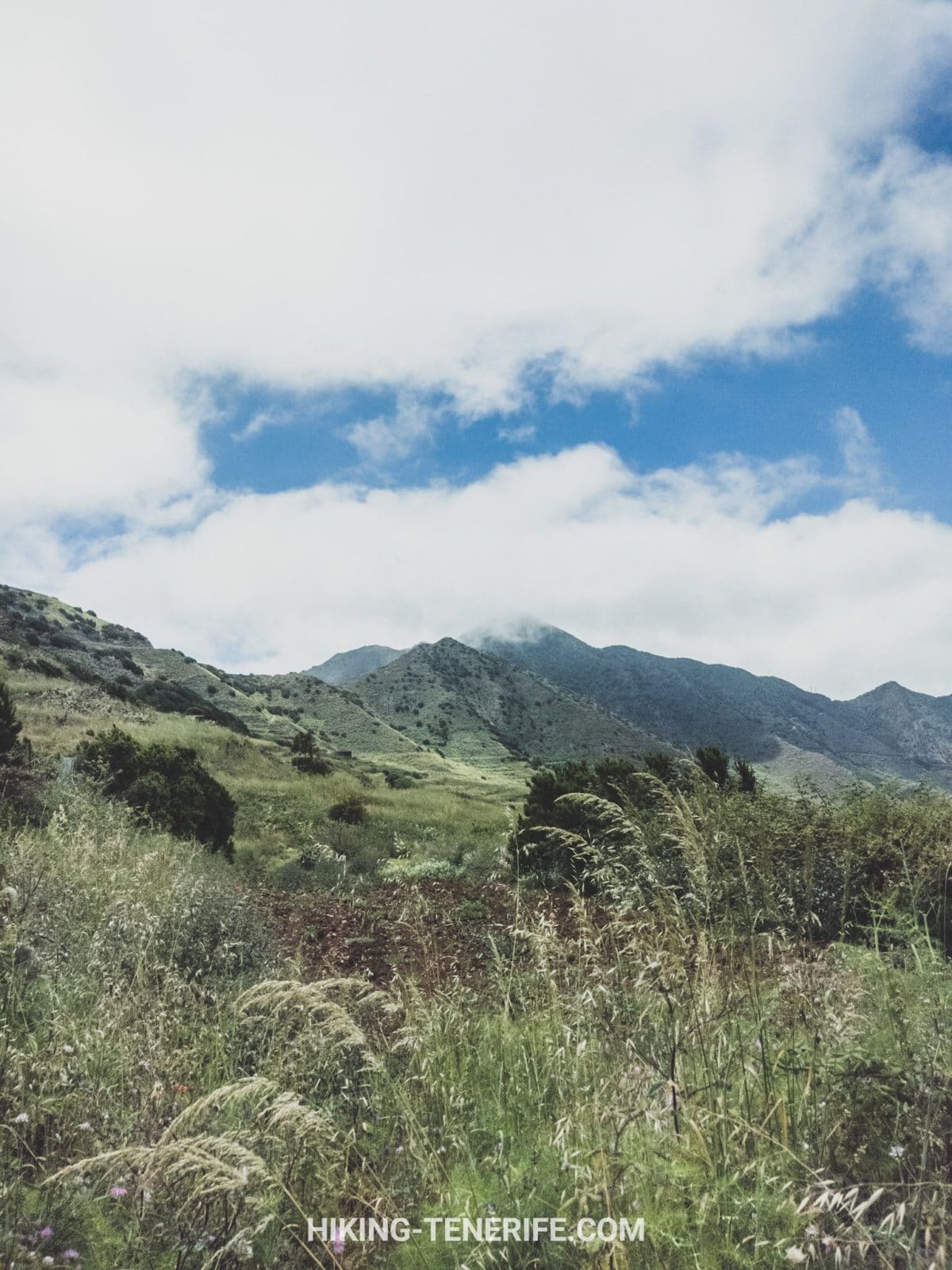
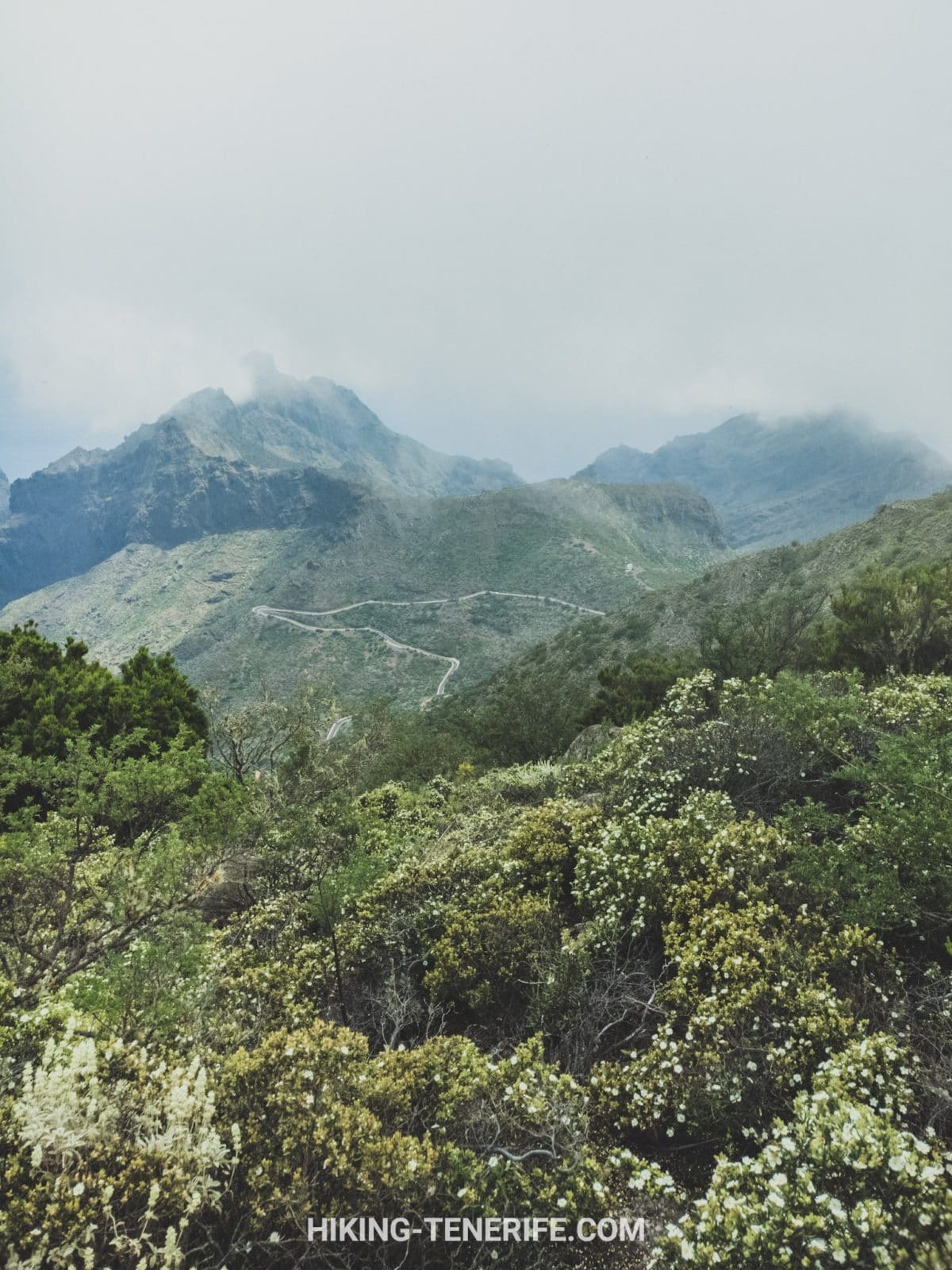
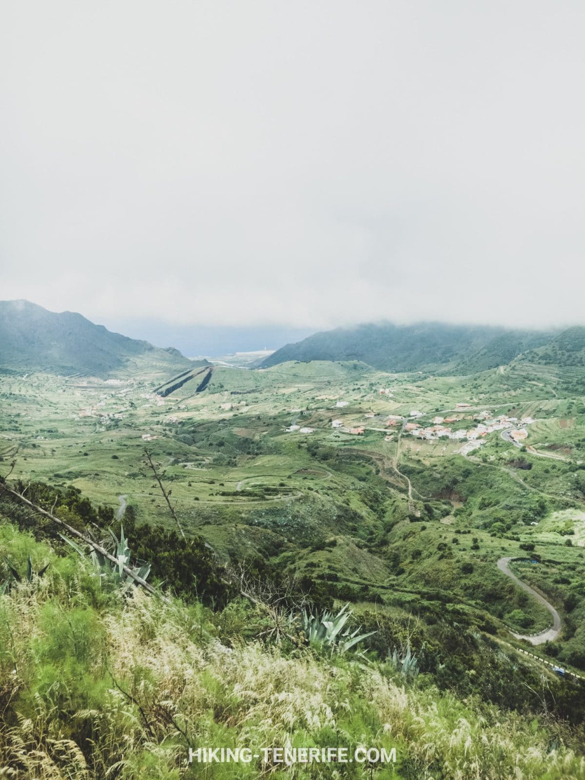
Monte del Agua is the green forest side of Teno Rural Park. Teno Alto is higher and more open. Punta de Teno is a coastal access plan. Masca is a village and gorge system with separate transport and booking rules.
This page should help you walk Monte del Agua, not collect every famous place in western Tenerife before sunset. Keep the Masca road and parking plan separate, and use the best hikes in Tenerife guide when comparing routes across the island.
For a forest comparison, Anaga Rural Park has its own trail network, permits and east-island logistics. Teno is not a quieter copy of Anaga; it is a different rural landscape with a different transport problem.
Want a calmer Tenerife plan? My handcrafted guides help you connect routes, timing and local context without guessing every turn or squeezing five landscapes into one day.
Teno Rural Park and Monte del Agua FAQ
These are the decisions to settle before you put boots in the car.
Is Teno a national park?
No. Its official name is Teno Rural Park, or Parque Rural de Teno. It is a protected rural landscape where settlements and traditional land use coexist with important natural habitats.
Which is the official Monte del Agua hike?
PR-TF 52 is the main signed route from Erjos to Las Portelas. It is a 10.7 km linear trail. PR-TF 52.1 and 52.2 are separate branches toward El Palmar.
Is PR-TF 52 a loop?
No. The official route is point to point, so arrange two vehicles, a verified bus connection or a shorter signed alternative before starting.
Do I need a permit for Monte del Agua?
The current official records for PR-TF 52 and its two El Palmar branches list no authorisation requirement. Always check Tenerife ON for temporary closures, fire controls and incidents on the day.
Is Monte del Agua accessible?
The full PR-TF 52 is not an accessible route. A separate 1.6 km return route near Erjos has compacted ground, seating, guidance features and reserved parking. Use its designated access instructions.
Can dogs hike Monte del Agua?
Check current park guidance before bringing a dog. Wildlife, livestock, protected-area rules and temporary controls matter. Keep any dog under close control and never allow it to chase animals or leave the signed path.
Final local verdict: choose Monte del Agua for forest, rural Teno and a proper walking day. Choose the exact signed route first, solve the return second, then let weather and live trail status make the final decision.