

Short answer: this is a small, scenic circular walk in the Anaga foothills. The 8 km loop and nearly 400 m of climbing suit fit beginners who want a real mountain day.
I planned it for people who were new to Tenerife hiking. The point is not to arrive destroyed.
The route climbs from the Tegueste side through fincas and spring flowers. It reaches a meadow and open ridge, then returns in a loop with Tegueste, Tejina, Bajamar and Punta del Hidalgo below.

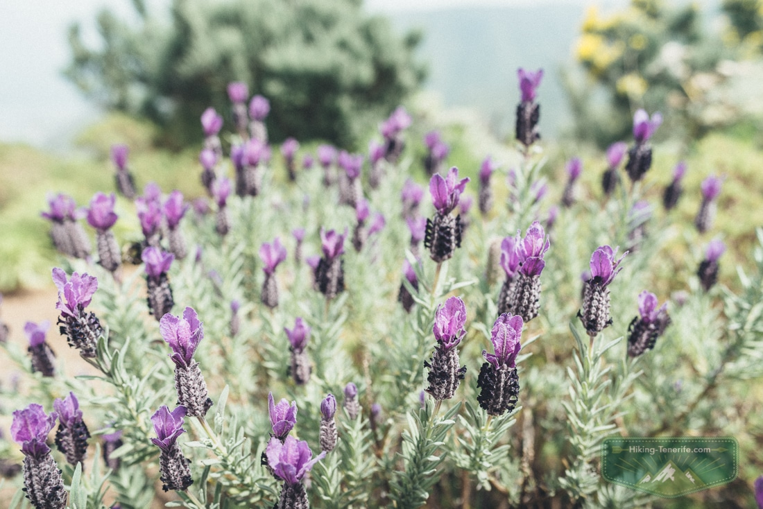
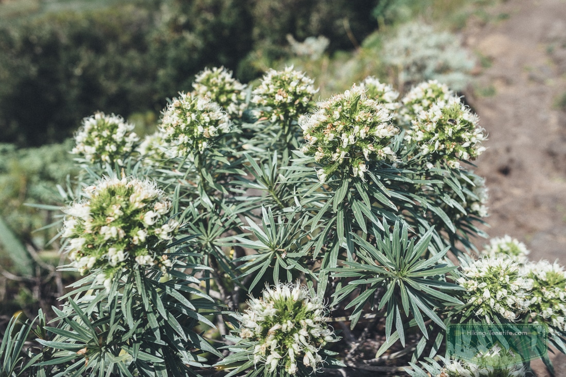
In early spring I saw the first white tajinaste in this part of Anaga. A month later everyone is chasing red tajinaste on Teide.
Here the smaller, quieter signs of spring are already doing their work. That is one reason I still like this route: it feels local before it feels famous.
Quick Verdict: Is This Anaga Hike for You?
Choose this route if you want a compact, flower-and-view day near Tegueste. It is not a long descent into remote Anaga.
It suits fit first-time Tenerife walkers, photographers, active older children and drivers who prefer a circular plan. Skip it if you need predictable accessible surfaces, a pram-friendly route or turn-by-turn services at every corner.
| Route at a glance | What that means in real life |
|---|---|
| Type | Circular route from the Tegueste side; do not treat the Bajamar descent as a casual shortcut without a current mapped plan. |
| Route distance | About 8 km for the loop described here. |
| Route ascent | Nearly 400 m; most of the climbing is before the meadow. |
| Time to allow | Roughly 3–4 hours moving, longer if you stop for flowers, photos and lunch. This is planning allowance, not an official trail time. |
| Difficulty | Moderate for a fit beginner: steady climb, open ridge, and a steep but not loose descent. |
| Best fit | Spring flowers, first Anaga foothills walk, photographers, local-village day. |
| Current check | Load an offline route and check Tenerife ON, AEMET, road notices and TITSA before leaving. |
Local verdict: this is the Anaga hiking trail I would choose when you want the mountain feeling without committing the whole holiday to a complicated expedition. Beautiful, yes. Effortless, no.
The Tegueste and Tejina Route: What It Actually Feels Like
The loop starts near Tegueste, passing fincas and gardens before the uphill properly begins. You are not dropped into dramatic wilderness straight away.
The first section feels like a local edge-of-town walk. There are flowers, smallholdings, lizards disappearing into the wall, then houses quietly shrinking behind you.
The climb is honest but not cruel. It leads towards a small eucalyptus grove and then a meadow between the hills.
On my route, the meadow came after roughly two-thirds of the total ascent. It was the right place to drink, eat and decide whether the group still wanted the ridge.

Take the meadow as a pause, not a checkpoint.
Turn left at the meadow for the route I describe here. The tempting descent towards Bajamar is a different decision.
Do not turn it into an improvised bailout. If your offline track, daylight, weather or group confidence no longer match the plan, return by the route you know.
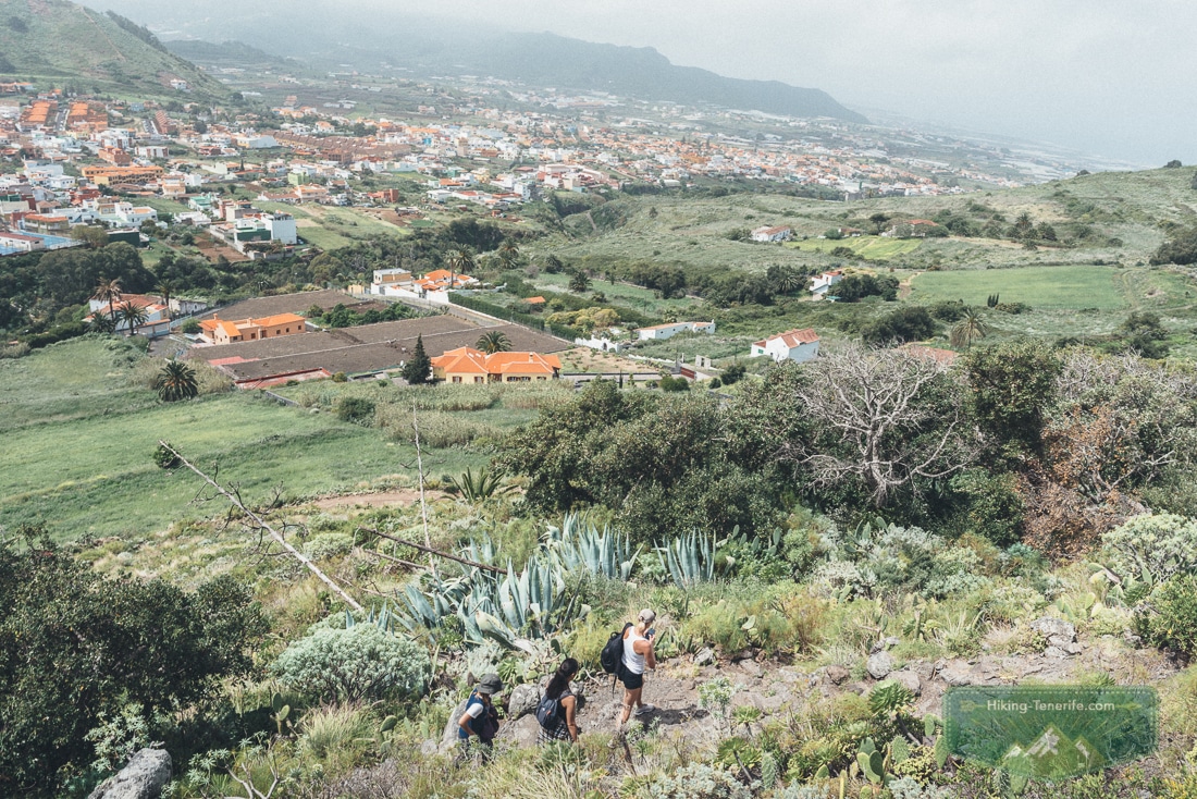
Safety rule: this route description is a route story, not a current GPX file. Do not follow it into a wrong farm track or an unverified descent.
Start only when your offline map, access point and conditions agree with one another.
Meadow, Ridge and the Views to Bajamar
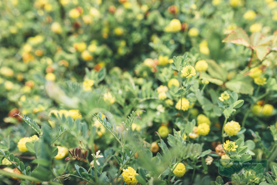
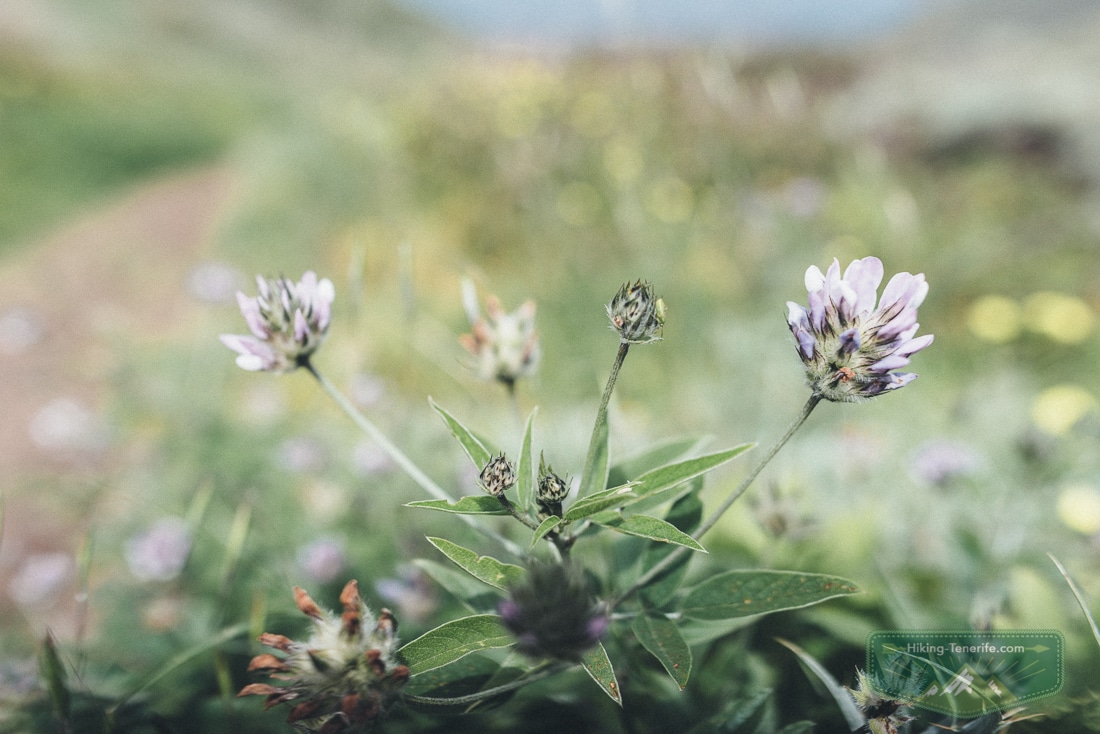
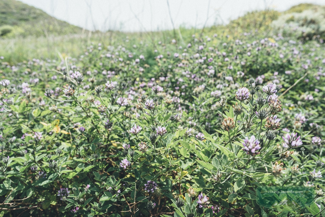
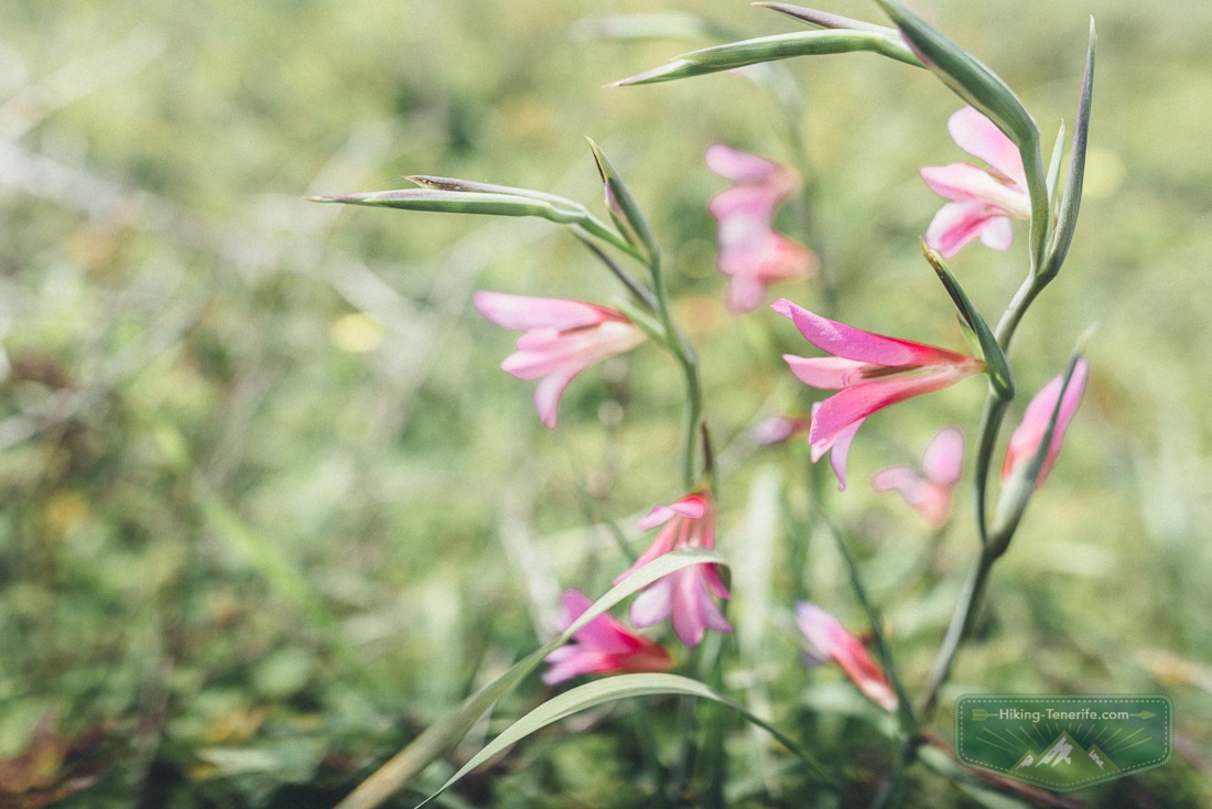
The meadow is the soft middle of the hike. Expect clover, small flowers, bees and a surprising amount of life for a space that looks empty from below.
In the right season, walk it slowly. You came to see the island, not to beat your own stopwatch.
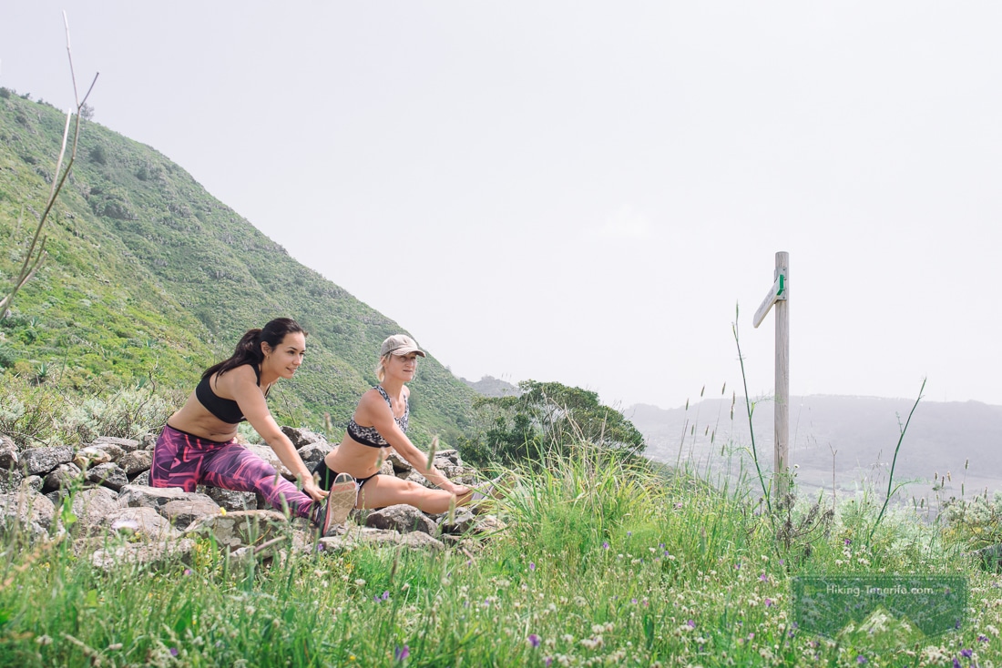
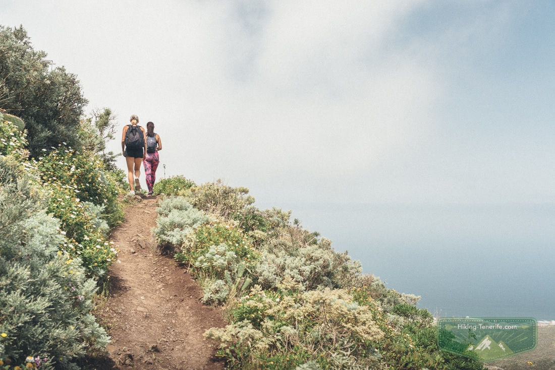
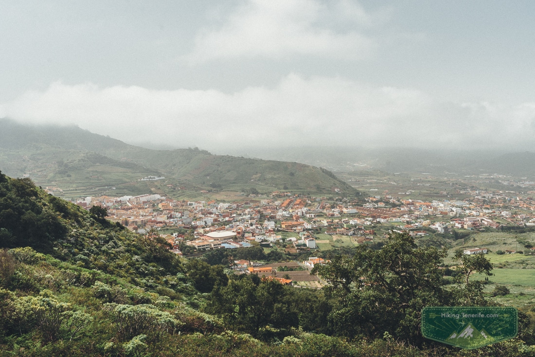
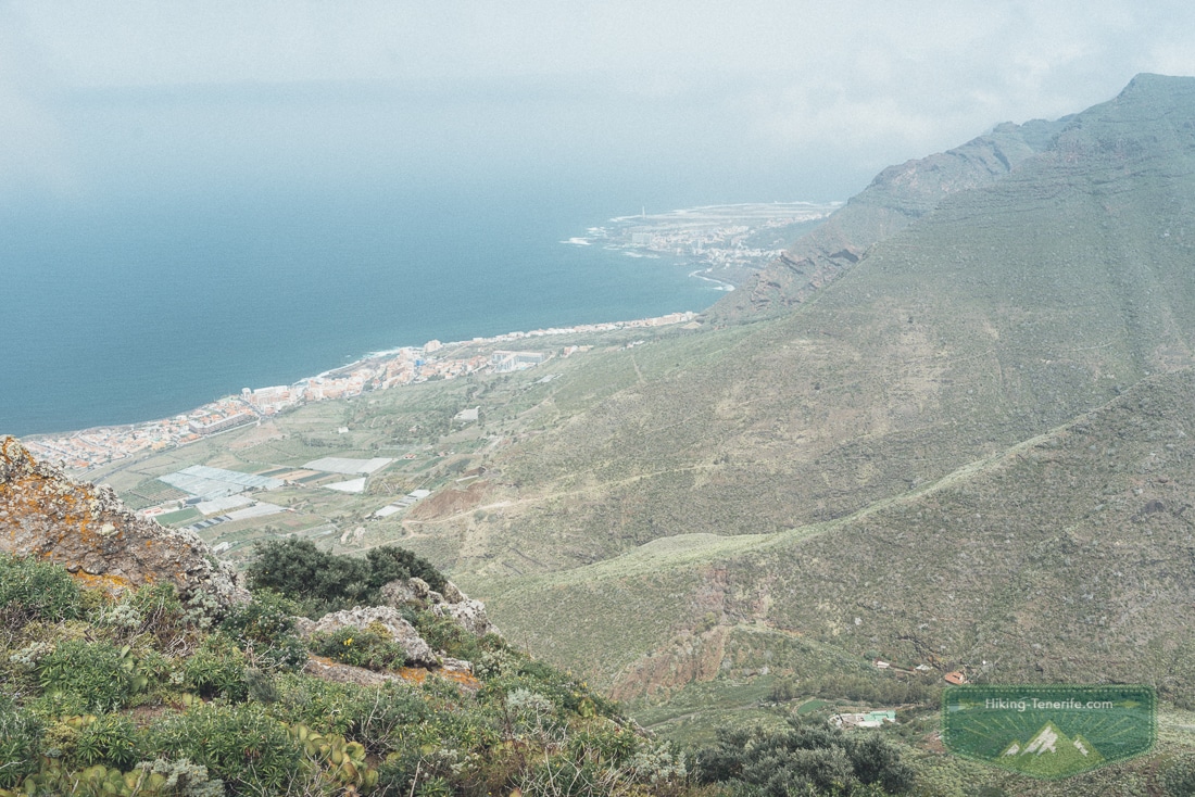
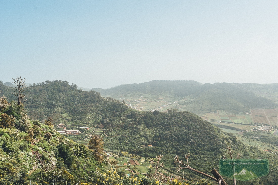
After that, the route reaches the ridge and the view opens properly. Bajamar sits below and the Punta del Hidalgo lighthouse pulls the eye along the coast.
The folds of Anaga look far more serious than the modest start suggested. I could see Batán de Abajo among the ridges.
From the ridge, the coast looks easy. Your legs know better.
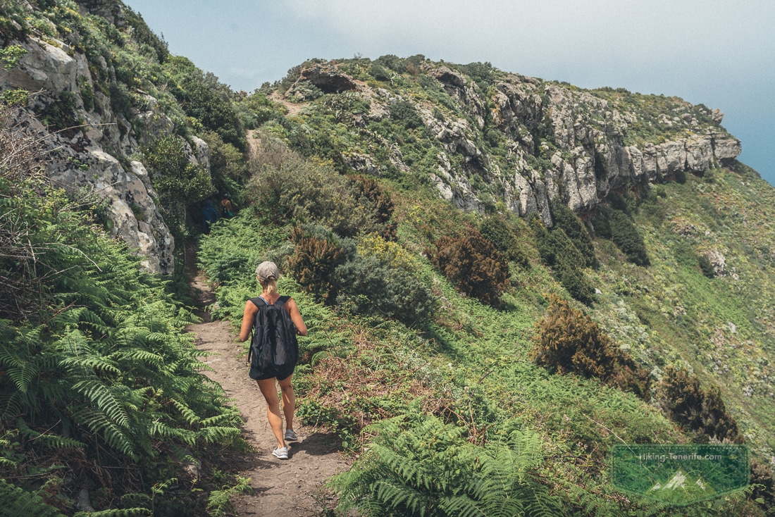
There are open edges and big views, but this is not a technical scramble. The issue is judgement, not bravado.
Give anyone with vertigo space. Keep children close, stay off photo ledges and turn back before wind or cloud makes the next decision less clear.
Local detail: from the ridge, Tejina, Tegueste and Bajamar can look like one easy sweep. On the ground, they are linked by slopes, local roads and time.
Let the view stay a view. Do not turn it into three rushed stops.
How Hard Is the Tegueste Loop?
I would call it a moderate beginner route, not an easy promenade. Eight kilometres and nearly 400 m of ascent are manageable for many active visitors, but not invisible.
The uphill needs steady pacing. The ridge needs attention. The final descent needs shoes that grip.
Sandals, loose trainers and “I only packed beach shoes” are not clever shortcuts here.

Eight kilometres is short on a map. It is not short when the descent is steep.
- Good for: fit first-time hikers, couples, confident older children, photographers who will accept a climb for the view.
- Think twice if: knees dislike steep descents, you have a strong fear of open edges, rain is making ground slick, or the group is used to flat holiday walks only.
- Skip it if: anyone needs step-free terrain, a stroller, fixed toilet access, reliable shade or a route that works without navigation.
- Best bailout: turn around before the ridge or return from the meadow. Do not invent a new descent because the coast looks close.
Common mistake: calling an 8 km Anaga foothills route “easy” because the distance is small. Elevation, heat, wind, mud, breaks and the steep finish decide the day more than one neat number.
Start Point, Parking and Public Transport
The loop starts on the Tegueste side and returns there, so a car is the simplest plan. Do not promise yourself a space on a narrow residential road.
Arrive early and park only where it is legal and respectful. Be ready to use a marked public space a short walk away.
Road works, local events and access arrangements can change.
One clean north-east day beats three rushed stops.
Without a car, this is possible but needs more discipline. TITSA line 050 currently links La Laguna Intercambiador with Tegueste, Tejina, Bajamar and Punta del Hidalgo.
The Anaga route information also uses 050 for the official PR-TF 12.1 branch to Tegueste. Use the live TITSA journey planner for your actual day.
Save the last useful return before you start walking. Route numbers are useful context, not a timetable guarantee.
Map note: Tegueste, Tejina and Bajamar look close from the ridge. The hillside route, a bus return and a coastal stop are three separate decisions.
Plan like this: if you are based in the south, make this one proper north-east day. From Los Cristianos or Playa de las Américas, transport can make a modest hike feel heroic.
From La Laguna or the north coast, it is much easier to keep the loop short and flexible.
Free Tenerife map
Want a north-east day that does not zigzag across the island?
Use my free Tenerife map to group hikes, viewpoints, villages and a realistic lunch stop before the road starts making decisions for you.
Weather, Navigation and Safety Before You Walk
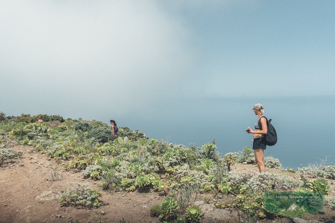
Anaga weather is not the resort forecast with more trees. Cloud can sit on the slopes and wind can make an exposed ridge less pleasant.
Rain can turn ground slippery. Strong sun can still be tiring on open sections.
Check the precise mountain forecast and active warnings that morning. If conditions look wrong, swap the hike for La Laguna, Tegueste food or a lower walk.
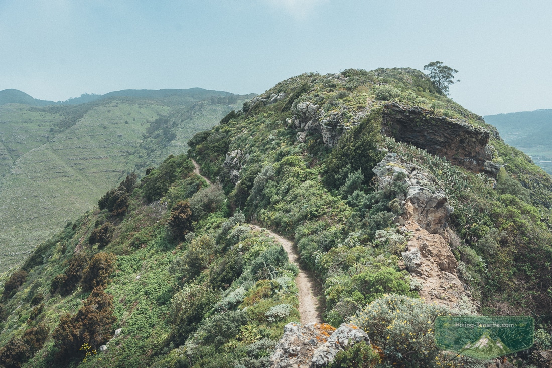
Resort sunshine does not run the mountain forecast.
- Download the exact track offline and carry a charged phone; signal is not a service you book with the weather.
- Take at least water, a snack, sun protection and a windproof or light waterproof layer.
- Wear closed shoes with grip. The steep descent is not loose scree, but wet or tired feet still make it the serious part.
- Tell someone where you are going if walking alone, and leave enough daylight to return without a race.
- Stay on the route, close gates if you pass them, keep away from livestock and take every bit of rubbish home.
Safety rule: a blue sky at your hotel is not proof of safe hiking conditions above Tegueste. Turn around early if wind, rain, closures or group energy say no.
The ridge will still be there on a better day.
Water, Toilets, Shade and What to Pack
Do not rely on finding water, toilets, a café, shade or mobile signal once the route has left the village edge. Carry what you need from the start.
A packed lunch is part of the pleasure here. On my walk, the ridge picnic included fajitas and dessert.
Hiking food is not only fuel. It is morale.
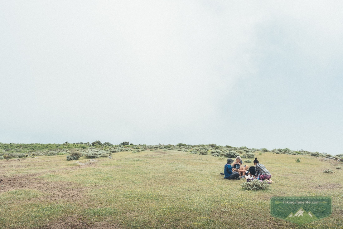
Water and grip are more useful than optimism.
- Water and food: bring both; do not make the meadow responsible for your lunch plan.
- Clothing: closed shoes, cap, sunscreen and a layer for wind or cloud.
- Navigation: offline map plus a charged phone; do not expect every fork to explain itself in English.
- Families: snacks, breaks and an agreed turnaround point matter more than finishing a loop.
- Photographers: keep both hands free for the descent. The photo can wait for a safe stance.
When to Go and What to Combine Nearby
Spring is the romantic answer because the flowers are the whole point. A dry, cool day outside the hottest part of summer can work well too.
Start early for softer light, more breathing room and a buffer if the route takes longer than expected. Do not try to out-stubborn a windy, wet or very hot forecast.
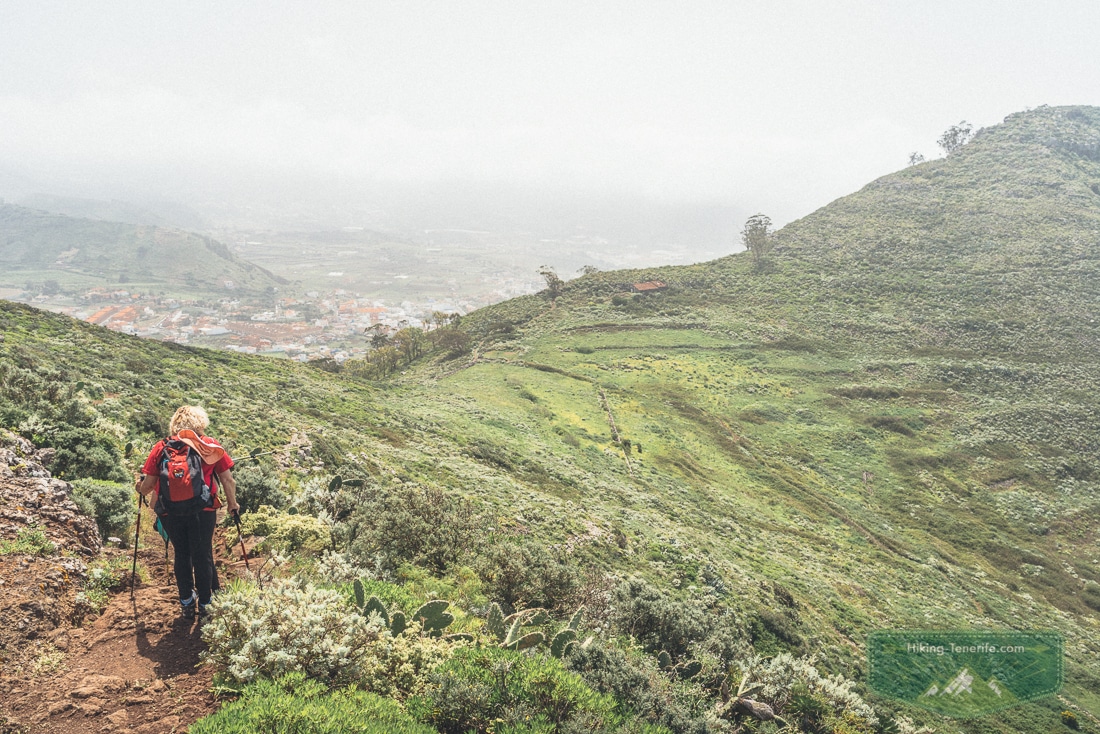
Spring flowers are lovely. A good forecast is lovelier.
After the loop, stay in Tegueste for food or continue only if you still have energy. Bajamar or Punta del Hidalgo make sense as a coastal look, not an automatic swimming promise.
Check sea state and local notices on the day. La Laguna is the better town-and-café alternative when weather turns.
Its old streets deserve their own time. Use the La Laguna section of my Things To Do in Tenerife guide rather than squeezing it into the last forty minutes.
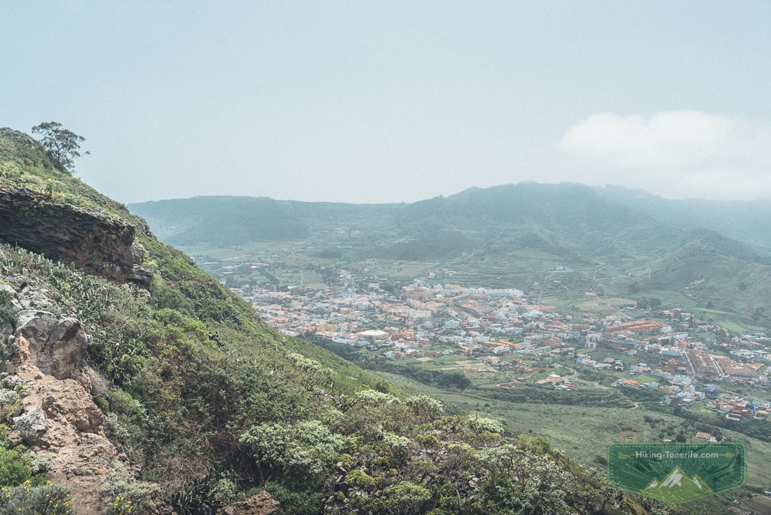
For the bigger planning picture, use the Anaga Rural Park guide for permits, forests, coast and current route context.
Then compare this walk with my best hikes in Tenerife guide. This loop is the gentle foothill answer, not a substitute for every Anaga trail.
Who Should Skip This Hike?
Skip it or choose a much shorter walk if you have limited mobility, unstable knees or a strong fear of open views. Do the same if you have no offline navigation, unsuitable footwear or a weather warning.
Families with younger children may prefer a short marked nature walk and a village lunch. There is no prize for finishing an 8 km loop when it has stopped being fun.
There is no prize for forcing a route that stopped being fun.
Local verdict: go when the group wants a real walk, not a convenient tick. The foothills reward patient people with flowers, lizards and ridge views.
Rush it, and you mostly remember the uphill.
Where This Hike Fits in a Tenerife Trip
This route is a north-east day. It is not a casual add-on to a south-coast beach morning.
If you are still choosing the whole island, start with Things to Do in Tenerife.
If you are deciding whether to sleep north or south, use Tenerife North or South first.
| If your base or goal is… | My honest route advice |
|---|---|
| La Laguna / north coast | Excellent fit for a relaxed half or full day, with bus or car flexibility. |
| Los Cristianos | Doable with a car and an early start; do not build it around tight public transport. |
| Playa de las Américas | Give Anaga its own day, then keep your resort day separate. Read the Playa de las Américas guide for the easier local days. |
| South Tenerife holiday | Use one deliberate mountain day, then return to the coast. The South Tenerife guide explains that rhythm. |
| Los Cristianos harbour / no car | Choose a simpler local walk or an organised Anaga day rather than gambling on the last connection. See Things to Do in Los Cristianos. |
| Teide day | Keep it separate. Teide is higher, drier and more exposed; use the Teide guide and give it proper time. |
Tegueste and Tejina Hike FAQ
These are the questions that change the plan, not the ones that merely decorate a search result.


