

Short answer: the best hikes in Tenerife are not one list for one kind of traveller. Anaga gives green mountains and wild coast. Teno gives ravines and villages. Teide gives altitude and volcanic drama. The south hides a few routes that are easy to underestimate.
This guide is for choosing a Tenerife hike that matches your legs, car situation and tolerance for cliffs, heat, cloud forest and bureaucracy. Some routes are beautiful and simple; others need permits, local timing or a guide.
With this guide you will not just “do Tenerife”. You will see extinct volcanoes, lighthouses at the edge of the island, thousand-metre cliffs, dragon trees, vineyards, old aqueducts, Guanche caves, almond blossom and clouds that make the mountains feel alive.

Let’s go.
I love trekking. I live on Tenerife and have been walking the Canary Islands for more than ten years. In many ways, the trails are one of the reasons I moved here.
I have walked in Costa Rica, mainland Spain, Austria, Italy, Indonesia, Thailand, the USA and Russia.
I can say this without tourist-board shyness: the Canary Islands are one of the best winter trekking regions in Europe.
Safety rule, updated 8 July 2026: re-check official access for Masca Gorge, Teide summit, El Pijaral/Bosque Encantado and Barranco del Infierno before you drive. Rules, transport, permits, fire risk, storms and landslides change faster than old blog posts.

Local route guide
Need the route that fits your legs, month and base?
Use my handcrafted Tenerife guide when you want the route order, timing, local context and safer choices instead of guessing from saved pins.
Why Tenerife is so good for hiking
The Canary Islands are a year-round walking paradise. Tenerife has marked trails, wildly different landscapes and one very useful advantage: you can often choose a route by weather.
Choose laurel forest when the south is hot. Choose Teide when the sky is clear. Choose Teno for ridges, and Anaga when you want the island to feel older and stranger.
You can walk through evergreen laurel forest in Anaga among clouds and Atlantic moisture, or climb toward Teide, the highest point in Spain. In summer you can see endemic tajinaste near Teide. In winter you can find almond blossom, green ravines and villages that feel far away from resort Tenerife.
You can look for pirate stories in Masca Gorge, local cheese in the Teno mountains, old water channels in Guimar, or a lighthouse that feels like the end of the island.
This is why a Tenerife hiking guide should not be only “best trails”. It should help you avoid the wrong trail on the wrong day.

If you are unsure whether to rent a car, read the Tenerife car-hire guide before choosing remote routes. And if your walking day is really about wild coast access, pair this with the hidden beaches guide so you do not confuse a photo stop with a safe swim.
- Best area for first hiking trip: Anaga, if you respect weather and roads.
- Best for volcanic drama: Teide National Park and Pico Viejo.
- Best for rugged village-and-ridge days: Teno and Masca surroundings.
- Best for beginners: shorter Anaga routes, Chinyero, Roques de Garcia or guided easier routes.
- Best to skip if you dislike exposure: routes with steep drops, loose paths or remote lighthouse sections.
For Tenerife hiking, bring proper shoes, water, sun protection, warm layers for altitude, offline maps and humility. A short route can become serious when heat, cloud, wind or loose volcanic ground joins the walk.
Masca Gorge
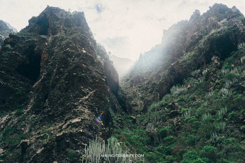
Masca Gorge is the most famous walking route on Tenerife. The descent starts in the charming village of Masca and winds between cliffs around 400 metres high. One of the rocks even looks like an elephant, because Tenerife likes to add a small joke when your legs are already busy.

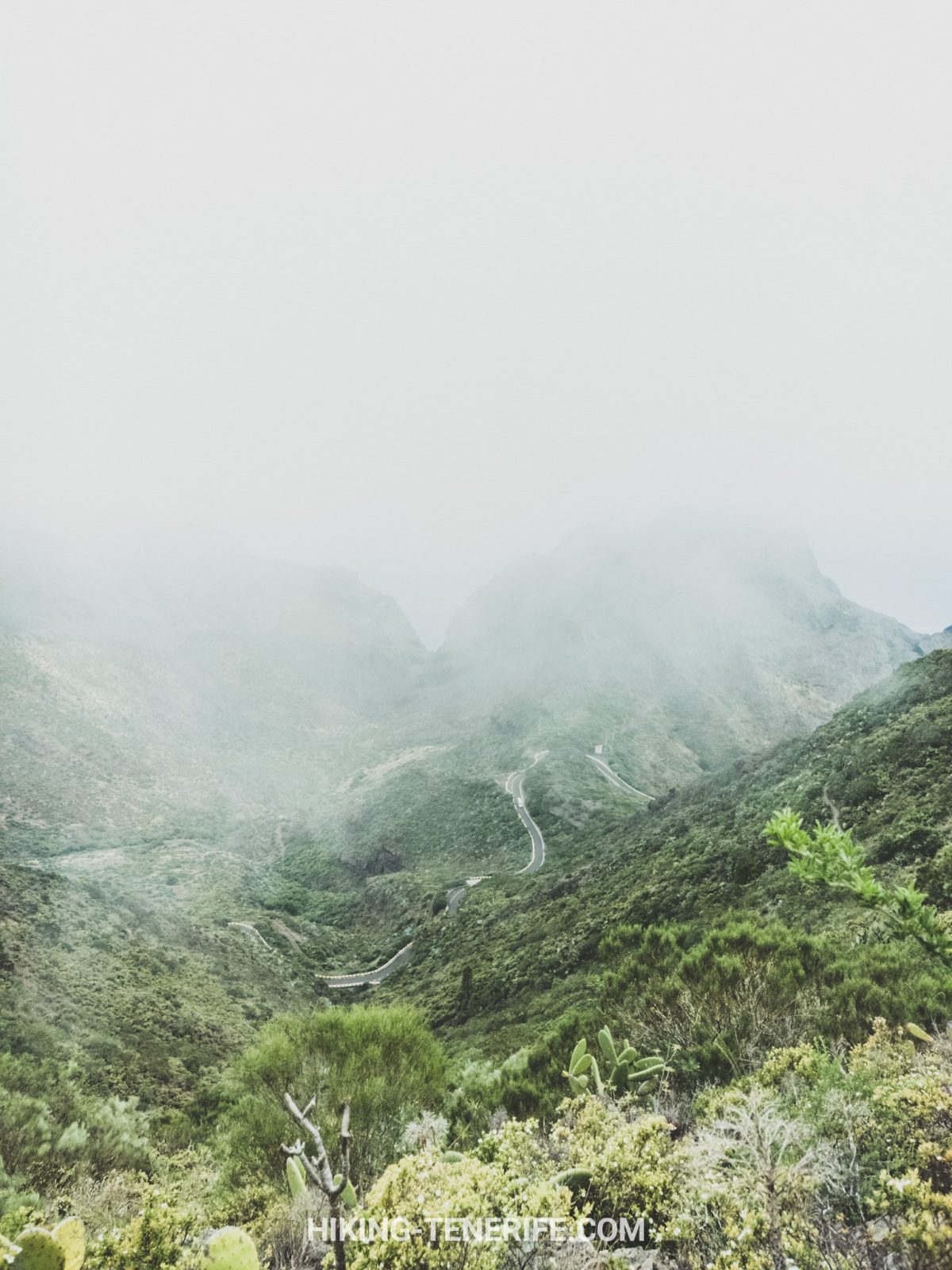
Masca route rules changed after the long closure. The Los Gigantes pier, boat-transfer rules and shared-transport system can still affect the plan.
On the 8 July 2026 check, the official Masca Gorge Trail page still treated the descent as high difficulty. It also listed shared transport, access checks, closed mountain footwear and a boat ticket for the descent option.
Do not rely on saved route screenshots or memories from years ago. Check the official same-day status before you go.
For years, the route ended at Masca beach under the Los Gigantes cliffs. Many walkers returned by boat, sometimes seeing dolphins or pilot whales on the way back.
As of the July 2026 check, the official site says Masca Beach remains closed to the public. Do not plan the hike around a casual beach return.
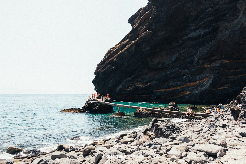
Masca is not a spontaneous beach reward anymore. Treat it as a regulated mountain route.
Local verdict: choose another hike if you dislike crowds. Masca is heavily promoted, controlled and no longer a wild secret.
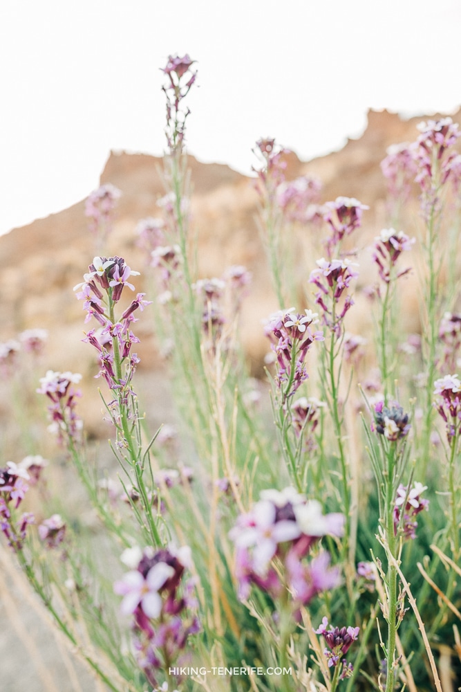
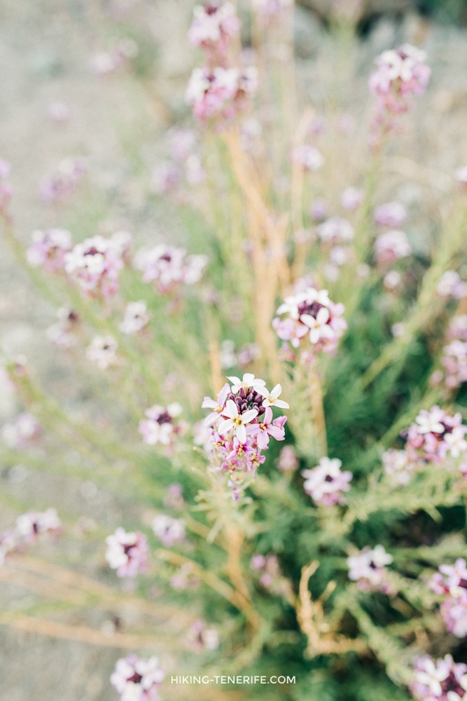
Walk among flowering almond trees
If you are not ready for the Masca Gorge performance, nearby Santiago del Teide has a simple and beautiful route among flowering almond trees and fresh lava. If you visit Tenerife in winter or early spring, put it on your list.

The cheese trails of Teno
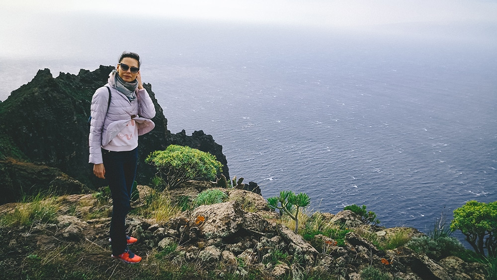
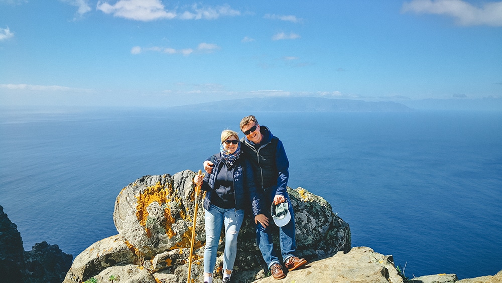
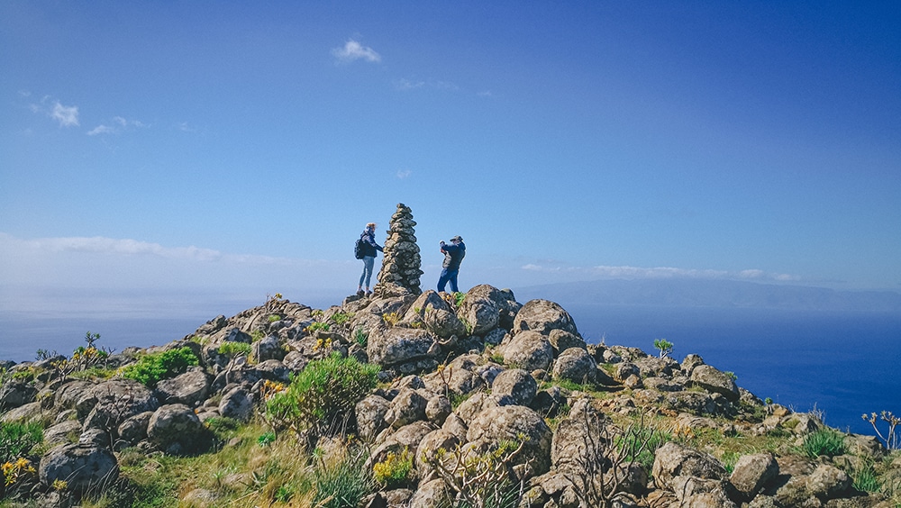
This route goes from a wine village into beautiful mountains with views toward La Gomera and La Palma. I recommend it because it shows the wilder west of Tenerife without making Masca the whole point of the day.
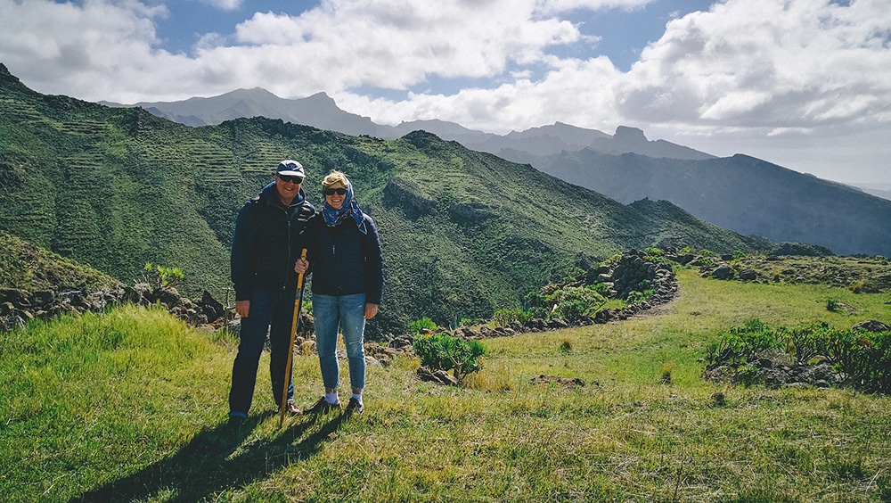
On this hike, we walk through the magical and less-visited Teno Rural Park. We pass a wine valley, look at the mountain I call “the cake”, cross green fields and rocky ridges, and move through monteverde forest.
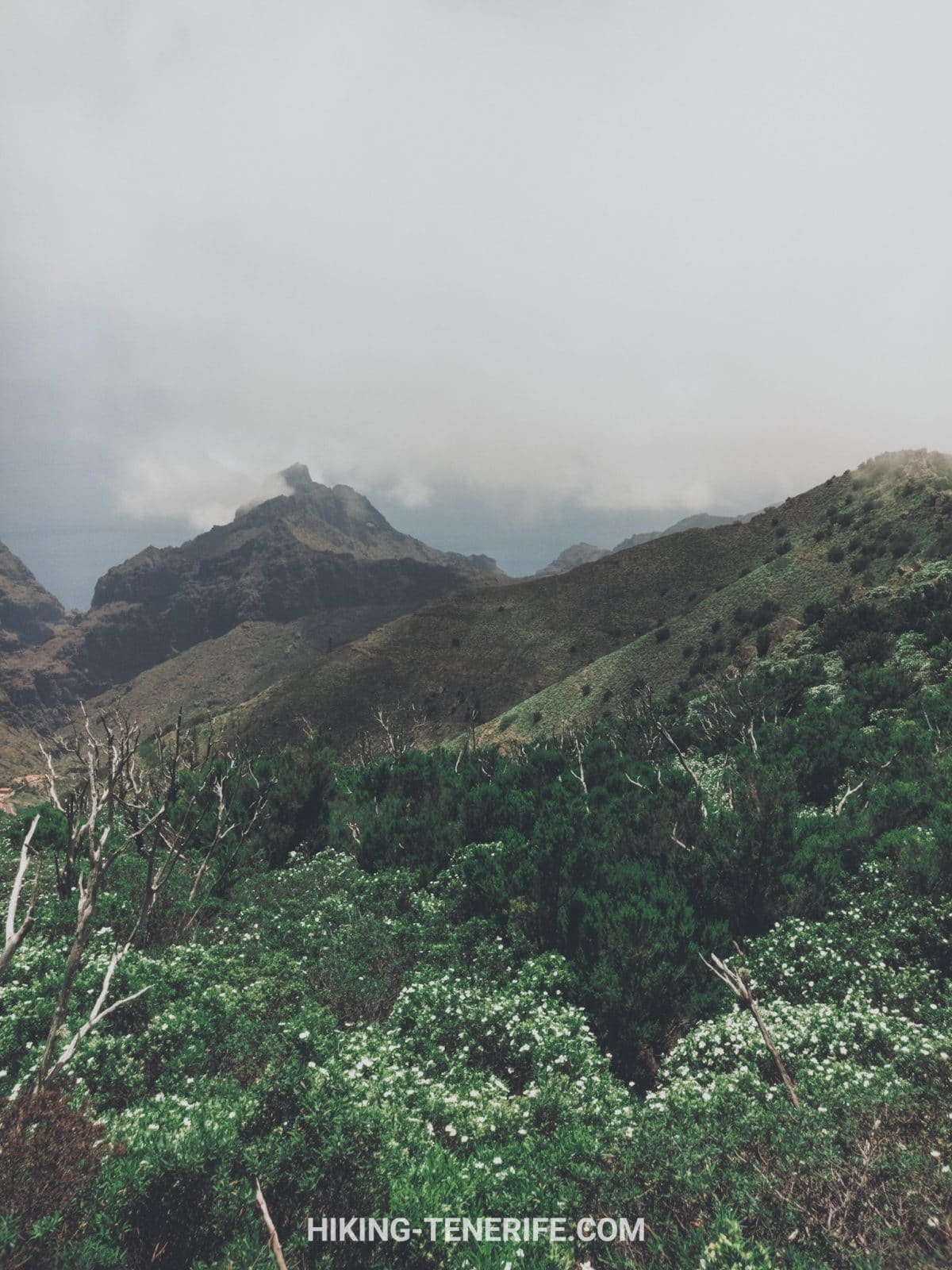
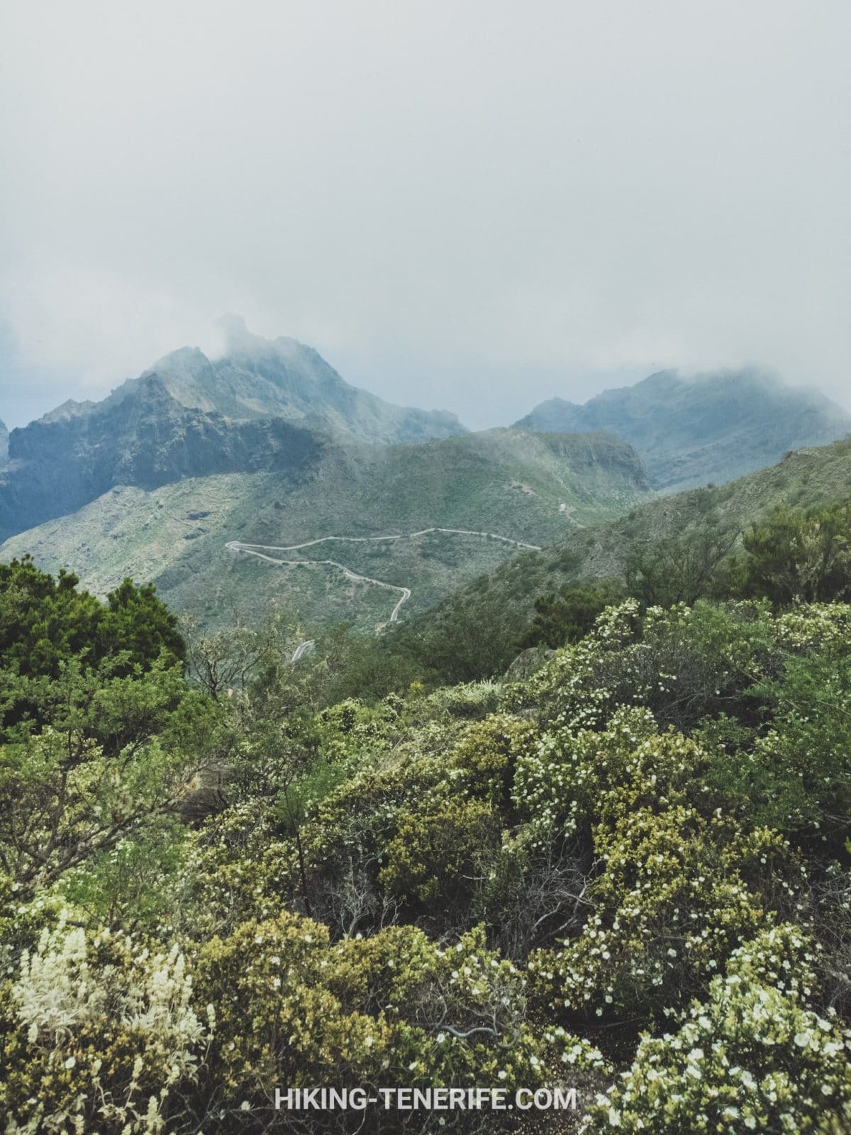
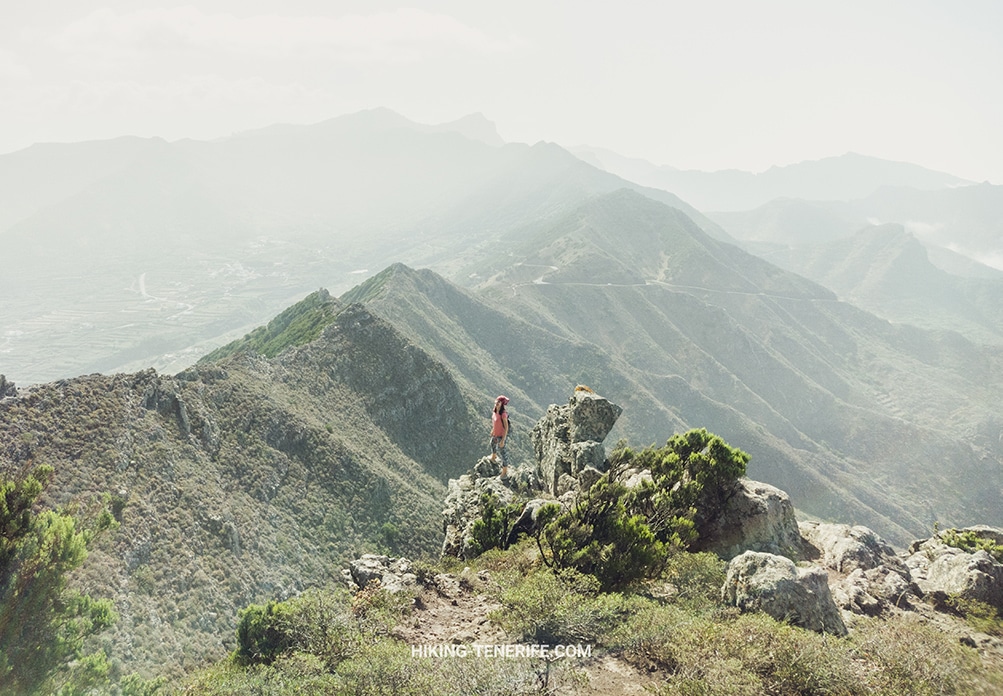
Then the route gives ravines, the edge of the ridge, Masca Gorge from above, and islands rising from ocean and cloud.
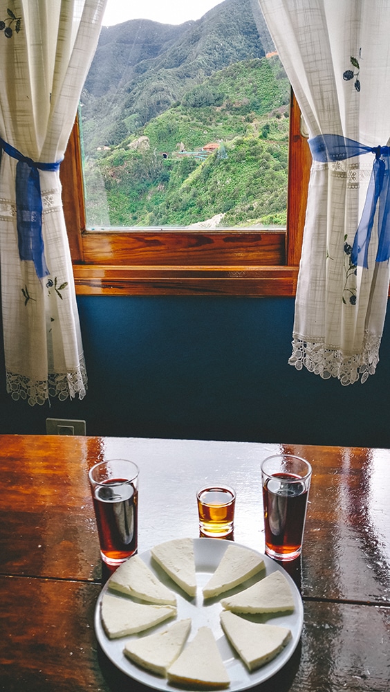
The reward is a special Canarian dish from mountain farmers. The route is about 9 km with around 500 m of ascent/descent. It has steep drops along the path, but for a moderately fit walker it is a beautiful route and a good preparation before harder Anaga days.
Good for: moderately fit walkers who want Teno scenery and local food. Avoid if: you are nervous near drops or want a flat promenade walk. I recommend going with a trusted guide.
If a route promises cheese at the end, I am emotionally prepared to forgive some climbing.





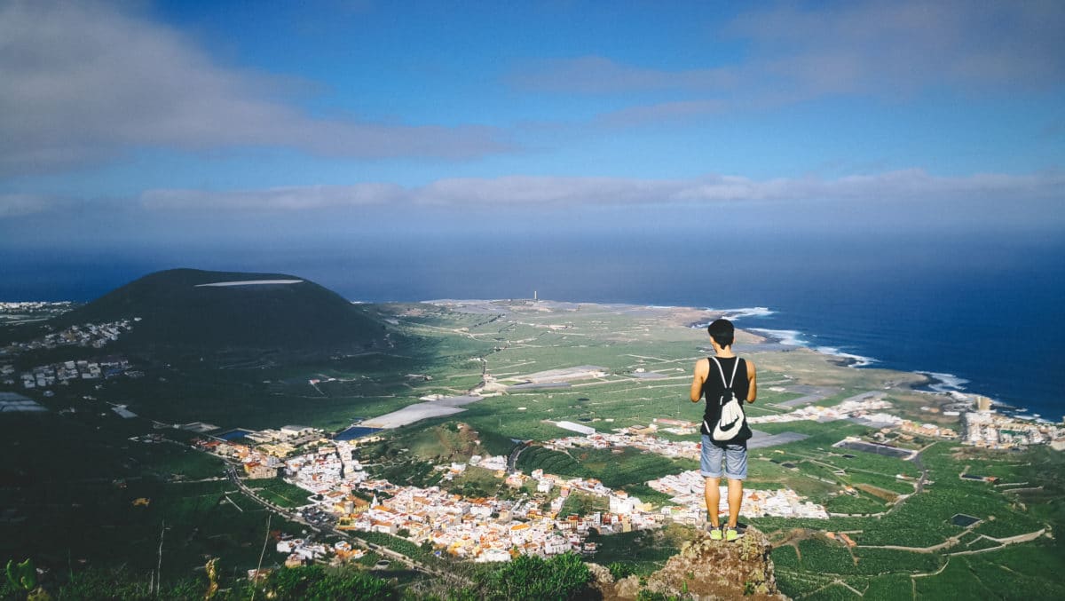
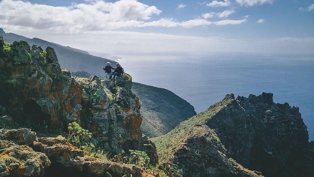
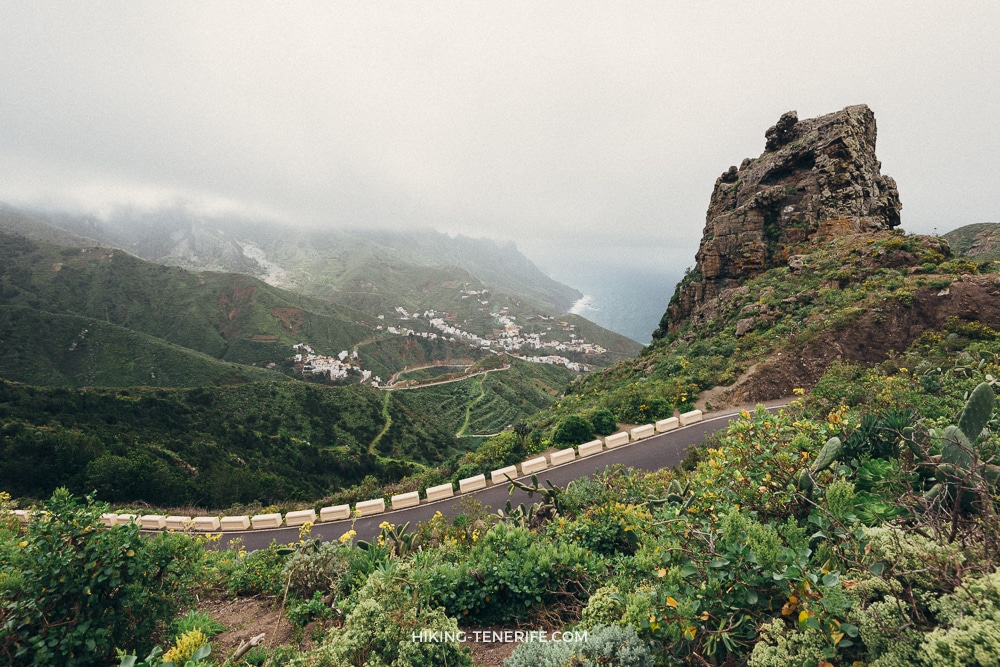
Easy but beautiful: Anaga for contemplative walkers
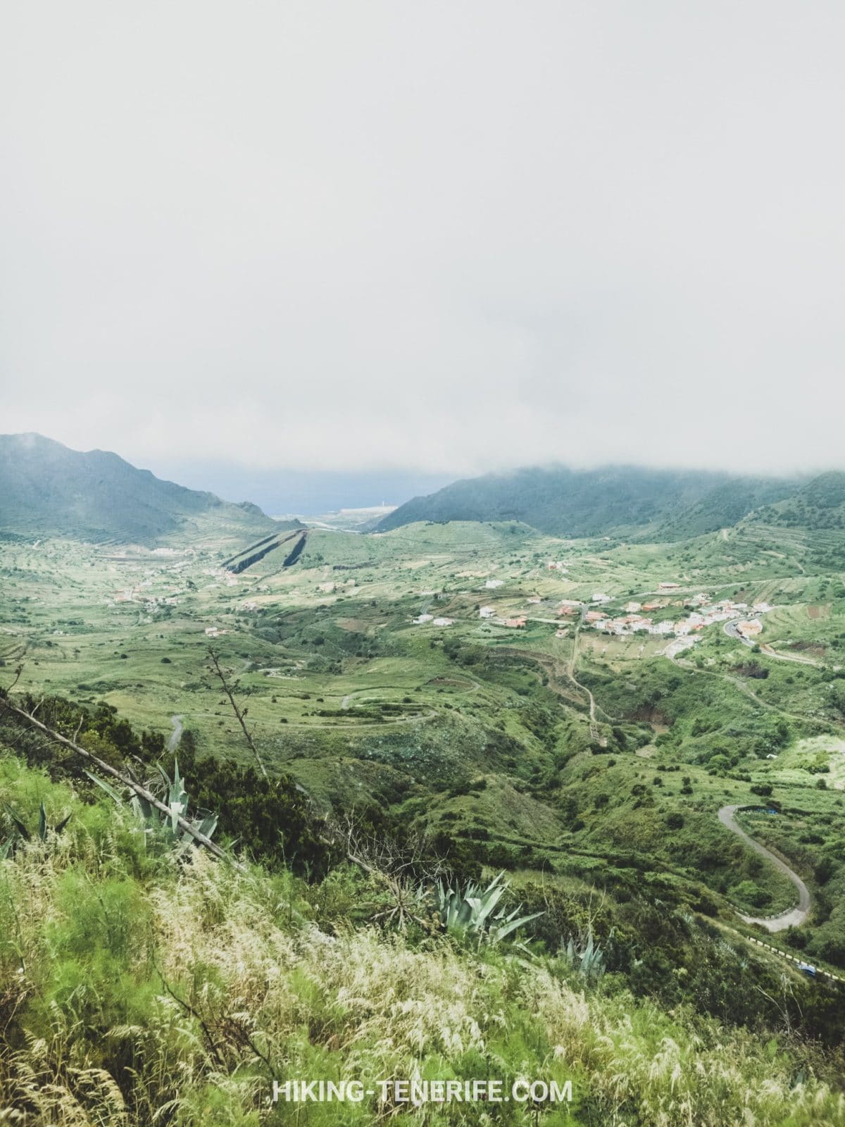
This is a beautiful and simple route for people who do not have strong fitness but still want mountains, authenticity and a little magic. We designed it for beginners and beauty lovers.
We visit some of the most interesting areas of the Anaga massif. There are views of old villages such as Taganana and Afur, plus architecture, gardens, ocean and mountains.
Then we breathe Atlantic air, look at dragon trees and churches, walk through passing clouds, descend toward the ocean, and finish with a beach and a restaurant. Yes, the restaurant matters. This is still Tenerife.
The length and elevation can be adjusted to your group. It is suitable for beginners when planned carefully, and a guide helps find the easiest beautiful paths rather than just the obvious ones.
Easy Anaga should mean easier choices, not careless shoes.

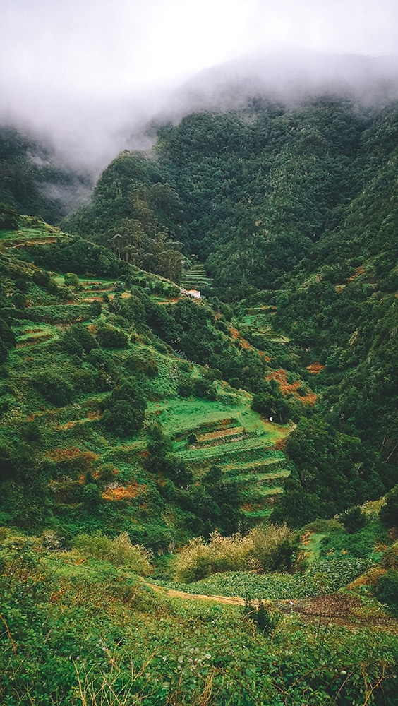

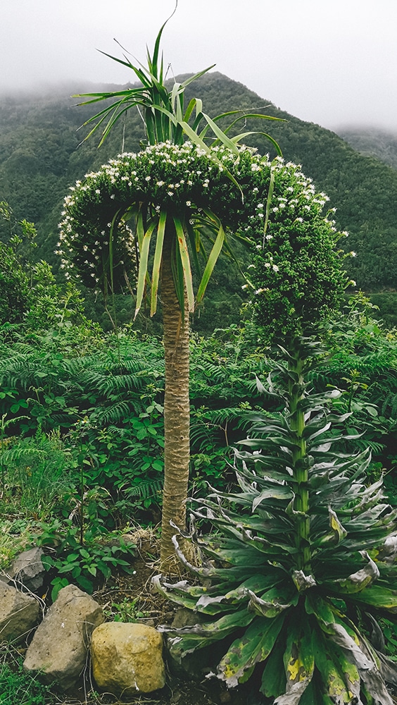
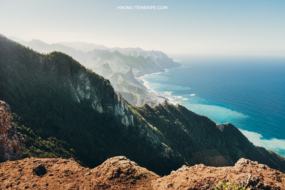
Benijo route: Anaga and the Guanche valley
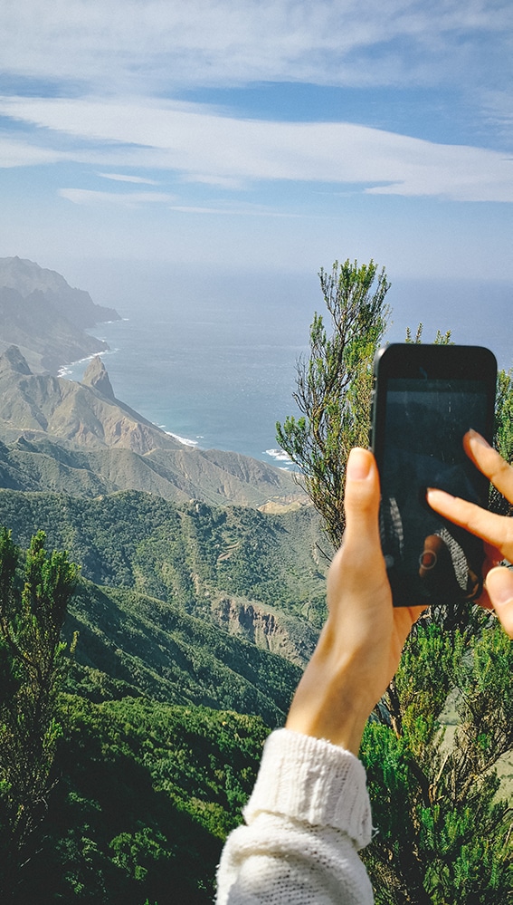
This is northern Tenerife beauty and Anaga mountain atmosphere in one route. It is a medium-level coastal Anaga hike, with a climb from the ocean into the mountains and views that become the memory of the day.
The route gives you Atlantic coast, small villages, black beaches, views, laurel forest and viewpoints. It is about 5.5 km with around 450 m of elevation change. We often combine it with one of Tenerife’s most beautiful beaches and a traditional octopus lunch in a family restaurant.
Good for: active beginners and intermediate walkers who accept climbing. Avoid if: you want flat terrain or dislike road access into Anaga. This is mountains, not a beach promenade.

Around Water Mountain
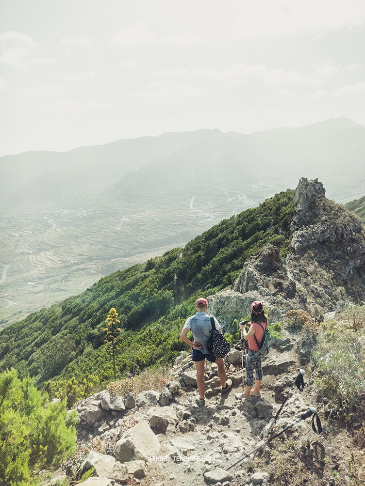
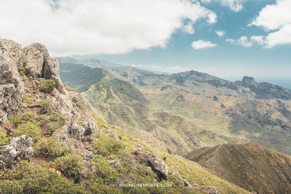
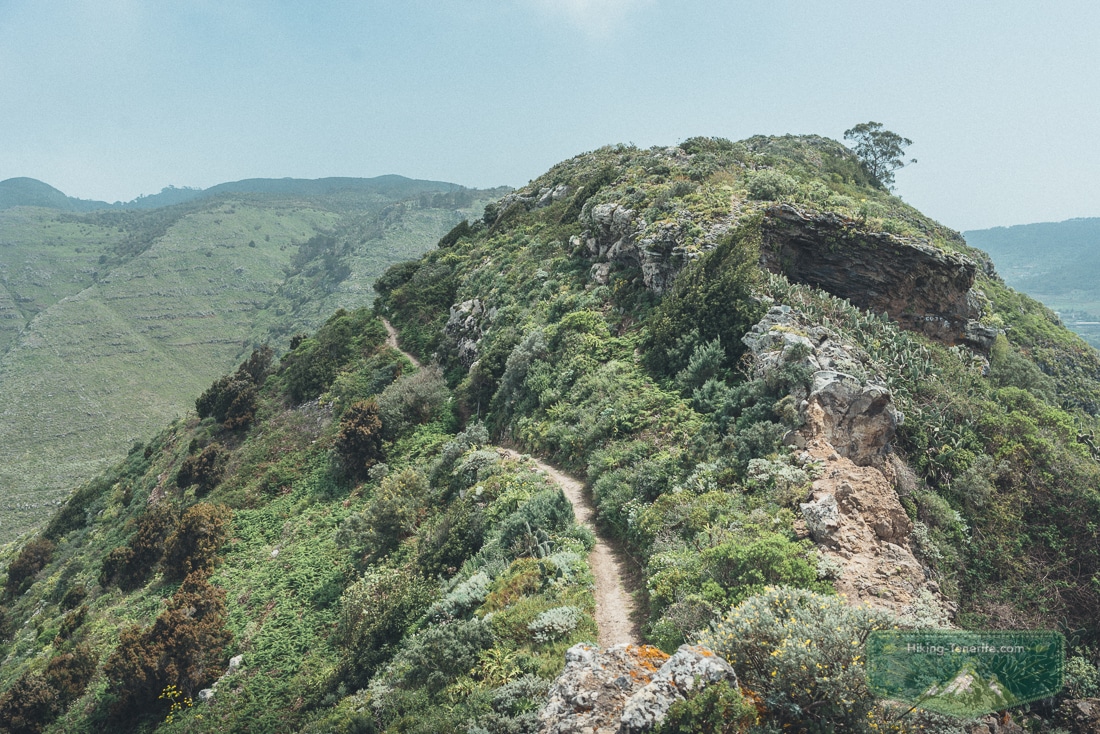
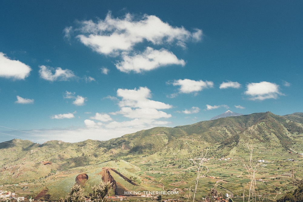
Around Water Mountain is one of those routes that reminds you how quickly Tenerife changes mood. One moment you are thinking about the coast; the next you are inside wet mountain greenery, old farm landscapes and Teno views.
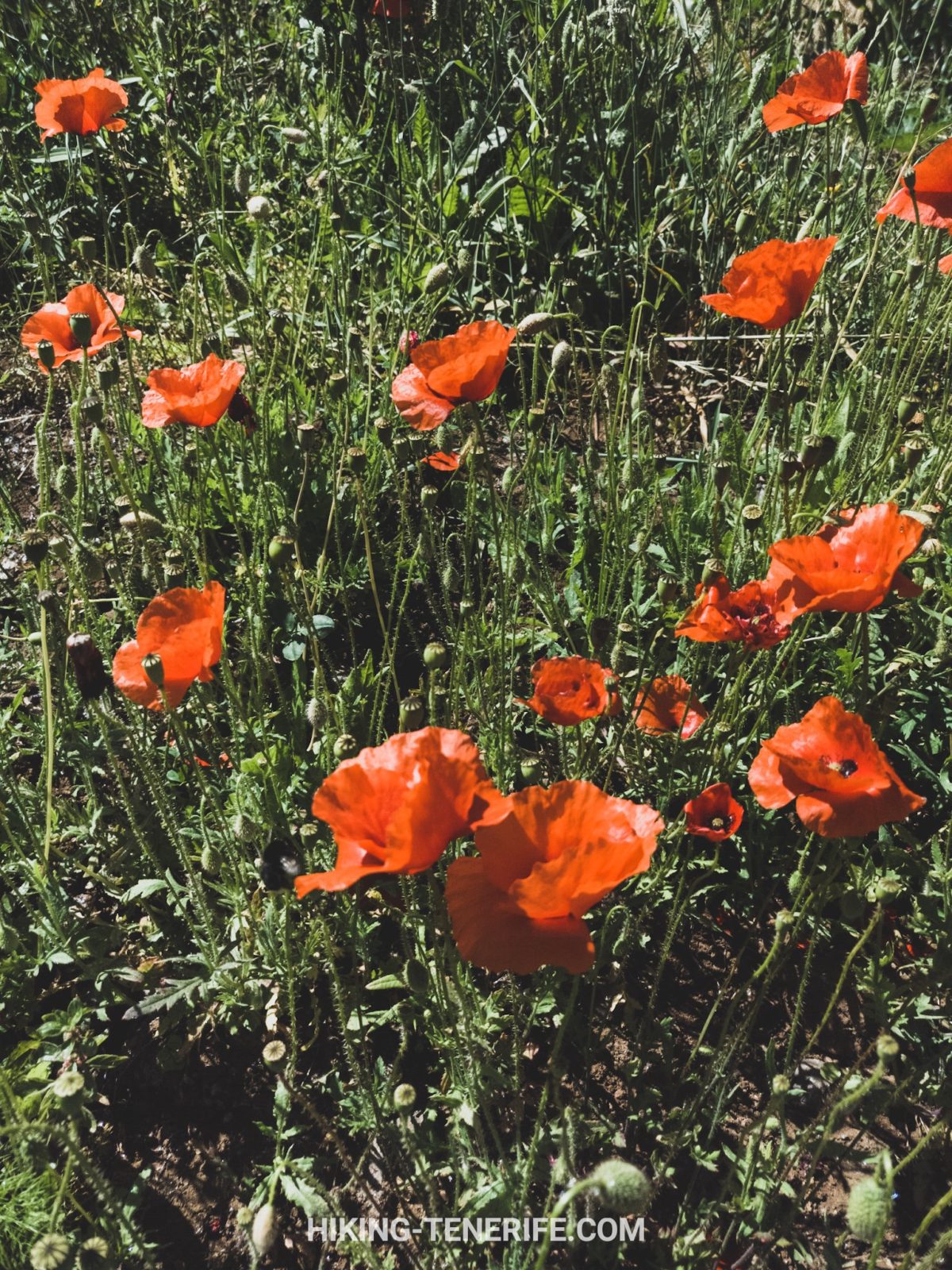
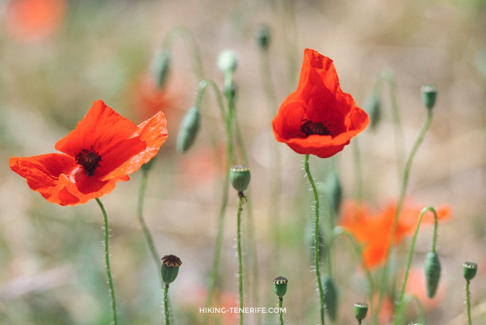
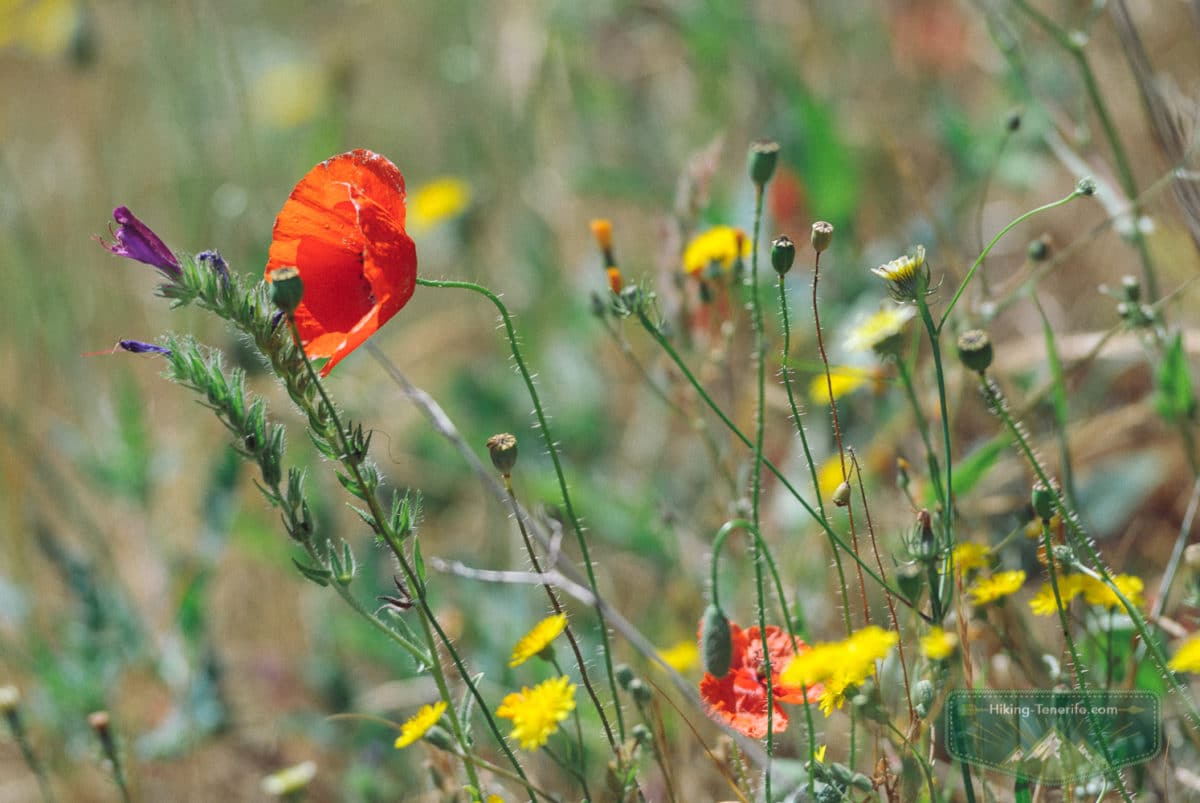
It gives landscapes that feel from another continent: panoramic views over Teno Rural Park, red poppies, fern taller than a person, a wine valley and farmers’ houses.
It also gives one of the best views toward Masca Gorge and the “cake” mountain. We move through wet mountain areas and giant fern growth, then pass old laurel groves and a small village that loves growing grapes.
The route is about 10 km with around 600 m of elevation change. It is not extremely hard for a fit walker, but it is still mountain terrain. I recommend going with a guide.
Not extremely hard is not the same as easy. Tenerife enjoys that distinction.
To the lighthouse, lonely rock and empty beach
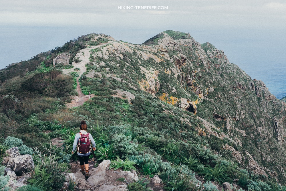
From evergreen mountains to the ocean: this is one of the routes I recommend for strong walkers who want Anaga at full volume. From a small village in the mountains, the trail goes toward the most remote lighthouse in the north-east of Tenerife.
Along the way you get ridges, laurel forest, endemic plants, wild goats, large lizards, falcons and ocean breeze. Then the route reaches a clean, empty beach where you can cool down before the return. The lonely rock waits there too, because apparently one dramatic object was not enough.
The route is about 9 km with around 700 m of elevation change. Good fitness, proper shoes and route confidence are essential. I recommend doing it only with a guide unless you know Anaga well.
Remote Anaga is generous, but it does not babysit.
Bosque Encantado
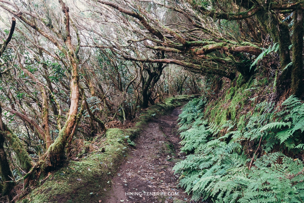
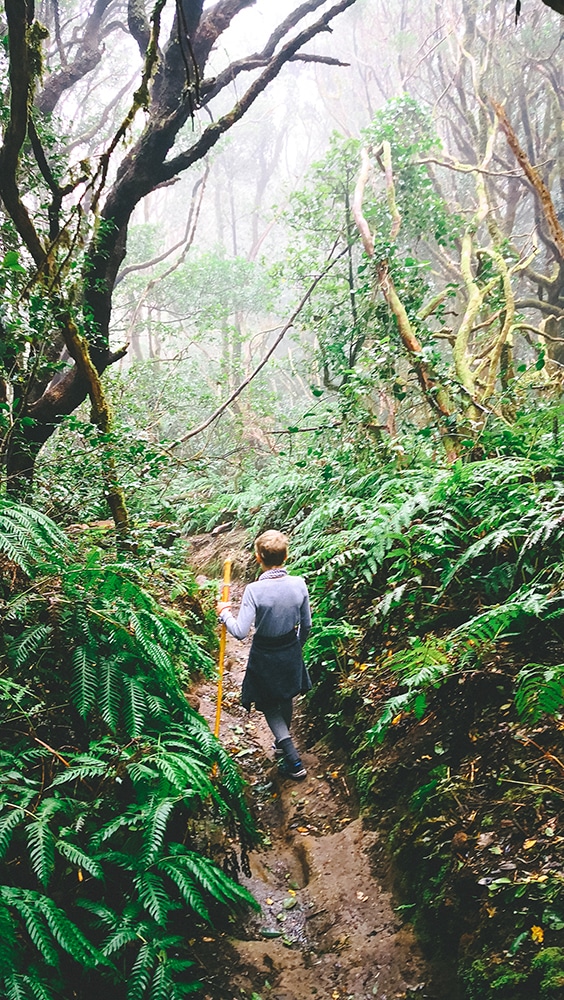
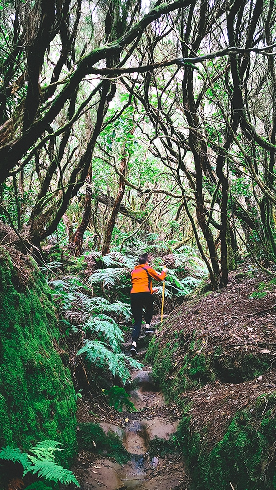
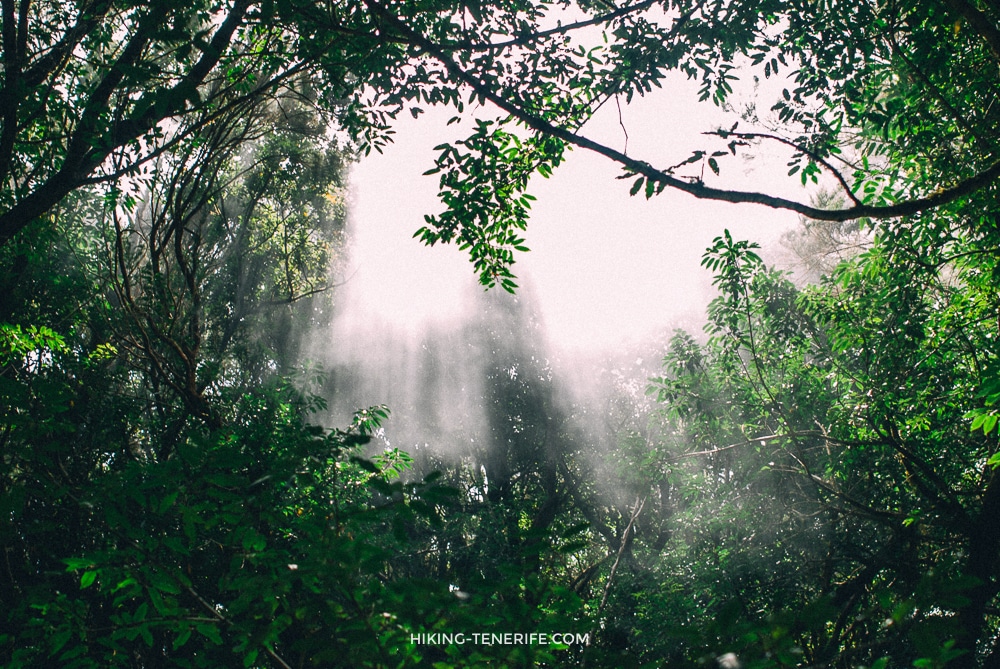
Bosque Encantado is a magical laurel-and-fern forest route through the El Pijaral nature reserve near Roque de Chinobre. It is a circular route, not technically hard, with viewpoints over Anaga and northern Tenerife.
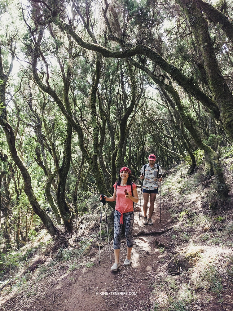
The path goes through dense laurel, fern and endemic trees. Add strange light and clouds moving through the forest, and it starts to feel prehistoric.
If something steps out from around the bend, I hope it is small and vegetarian. The forest earns that joke.
The route is about 7 km with around 400 m of elevation change. You need a Cabildo/Tenerife ON permit for El Pijaral/Bosque Encantado access. Fines for walking without permission can be serious, but the rule is simple: do not enter without a permit.
Safety rule: the road to the start is serious mountain driving. If you do not like narrow roads, cloud and bends, choose another Anaga walk or go with someone who knows the route.
A permit is not decoration here. It is part of why the forest still feels alive.
To a secret beach over the pass
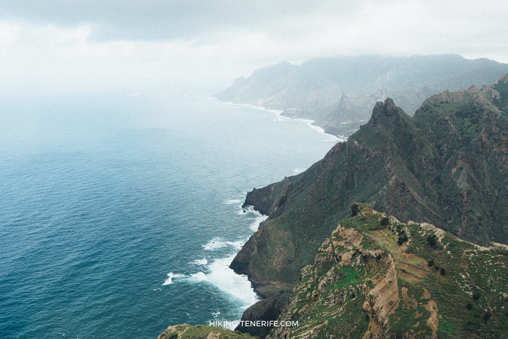
From a tiny village, over a pass, to a secret beach and into a fairy-tale kind of day. This is a full-day route only for well-prepared hikers.
The route crosses ravine country that can hold water depending on the season, passes a small ford, small waterfalls and a lonely palm above the mountain. Higher up, it reaches a tiny magical settlement where you can count the local cats, if you still have energy for mathematics.
Expect around 13 km and roughly 1000 m of elevation change. The fatigue is guaranteed, but so are the memories. I recommend doing this only with a guide.
The secret part is usually the effort, not the GPS point.
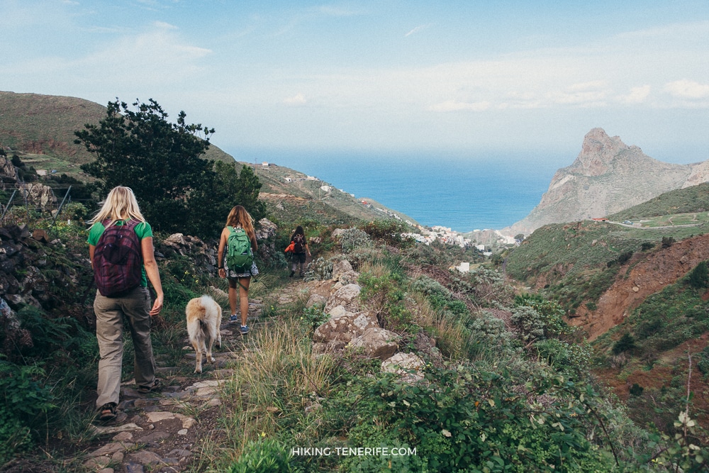
Above Taganana on the ancient trail
This route walks through the mountains around Taganana and along old pre-Hispanic paths. We pass through Taganana village, see large dragon trees, then move into monteverde laurel forest and the Las Vueltas trail.
Expect giant ferns, endemic plants, clouds, and views over the Taganana valley. The number of bends on the path is almost equal to the number of days in a year, which is funny until your legs start counting too.
The route is about 9 km with around 700 m of elevation change. Suitable for medium to strong walkers. The climb is long, and I recommend going with a guide.
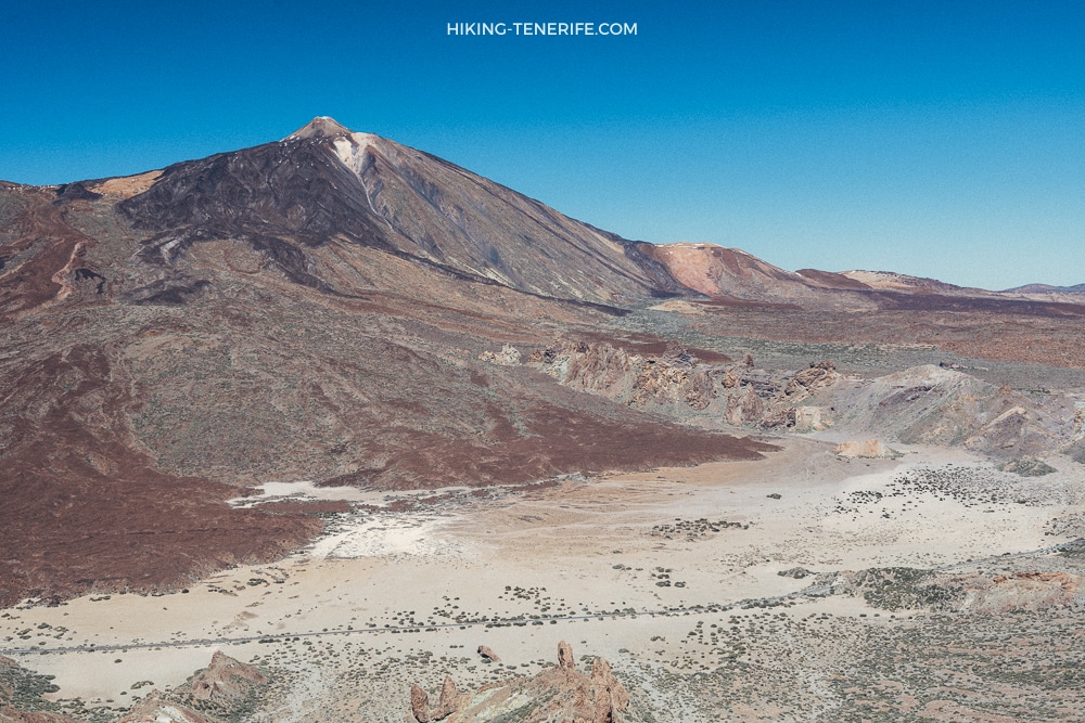
Sombrero de Chasna
This is one of the best viewpoints over Teide National Park. The route starts in pine forest near Vilaflor and climbs steadily toward Sombrero de Chasna, at about 2435 m.
The main attraction is the natural viewpoint over the caldera and Teide. It is especially beautiful in spring and summer when grasses and tajinaste appear.
Distances vary by track. Some versions are around 7 km with 500 m of elevation, while others are closer to 10 km, so check the route you actually plan to follow.

Plan like this: altitude changes the day. Bring layers even if the coast is warm, and do not underestimate sun and wind near Teide.
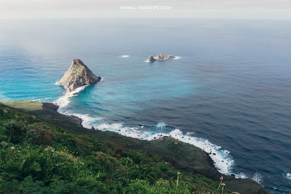
Middle-earth: the hobbit adventure
From a tiny village, over ridges and mountains, toward a lighthouse, with beautiful beaches as dessert. This one is for experienced hikers only, and I mean that in bold spirit.
It is one of the most impressive Anaga and Tenerife routes. You walk on narrow paths toward a distant lighthouse, facing some of the most epic views on the island. Some routes are hard to describe because the beauty only works when you suffer for it a little.
Distance can be around 12-15 km with 900-1000 m of elevation change, with steep drops along loose path.
The most important logistical point also stays: you need to finish before the favourite family restaurant closes. Otherwise what was the point of all this heroism?
Safety rule: only for very fit hikers who are comfortable with exposure. I recommend doing it only with a guide and leaving plenty of phone memory for photos.
Climbing Mount Teide
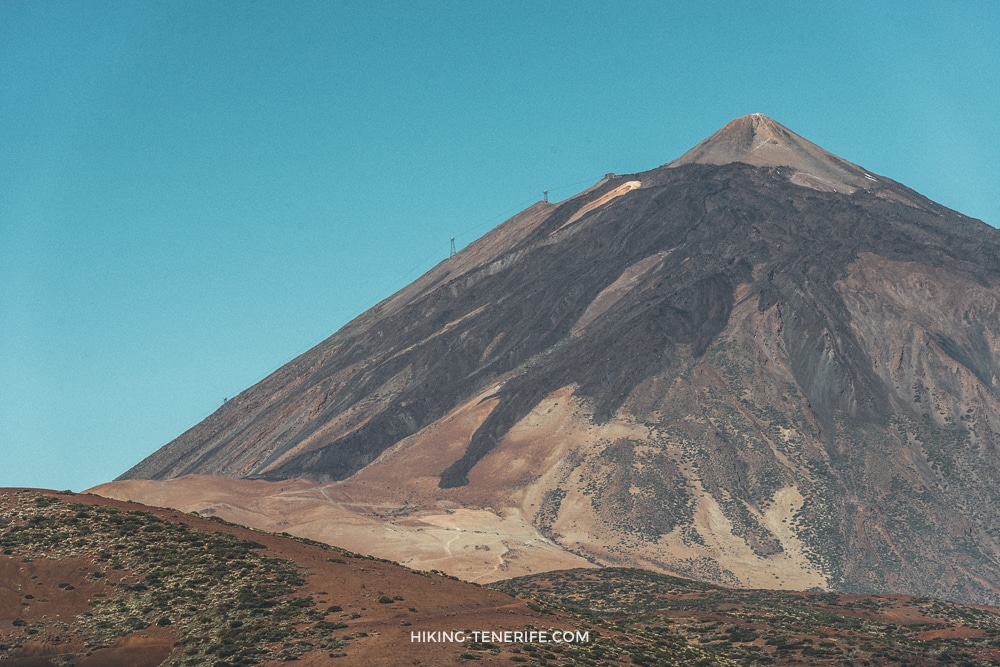
If you want a proper Tenerife achievement, climbing Teide on foot is a strong choice. It is a test of strength and a landscape you cannot see anywhere else on the island. The summit is 3718 m, and the upper air is thin enough to make everything feel harder.
To climb Teide well, distribute your energy, carry water, expect harsh sun, wind and possible snow, and check permit rules. Access to the summit section requires a permit, and the official Spanish national parks reservation page now directs Teide access management to Tenerife ON for the Telesforo Bravo route.
Teide punishes rushed plans politely at first, then less politely with altitude.
The route can be 14 km or 22 km depending on whether you descend by cable car or continue via Pico Viejo.
My favourite guide version turns it into a proper story: sunrise from Teide and night-time stargazing. Book early.
Saying “I stood on the highest point in Spain” is not cheap in effort, but it is priceless in memory.
Heart of Anaga
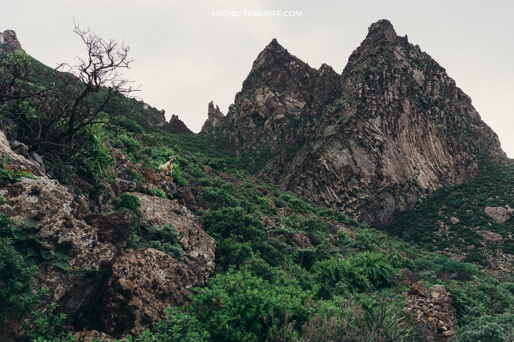
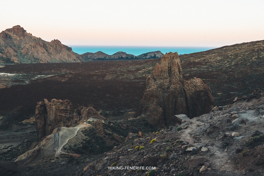
His Majesty the Canarian Matterhorn: that is my nickname for this route around one of the strangest mountains in Anaga. It is packed with views of mountains, the Atlantic and small villages.
The route crosses goat pasture, then the gate closes behind you and the path becomes full of impressions. The rest stop is a “VIP box” with one of the best panoramas over the Atlantic.
Much of the year the place is humid and cloudy. The path can disappear visually. In those conditions, it is unsafe.
The route is about 5 km with around 300 m of elevation. It suits moderately fit walkers who are not afraid of steep slopes beside the path. I recommend going only with a guide.
Cloud can make Anaga magical. It can also remove the path from the conversation.
Pico Viejo
Pico Viejo is Tenerife’s second summit at 3135 m. The hike to the old crater starts from Mirador Chio and climbs into Teide National Park, with wide views and serious volcanic terrain.
The route is hard: around 15 km with about 1000 m of ascent. The air is thin, water is essential, and winter can be cold even under strong sun. The reward is the huge crater, around 800 m across, from the 1798 eruption.
You can also approach Pico Viejo after climbing Teide, or use the cable car for part of the mountain experience, but that is not the same as earning the summit on foot. I recommend going with a guide.
If the cable car does half the work, be honest about what kind of day you are choosing.
From Socorro beach to Teide peak
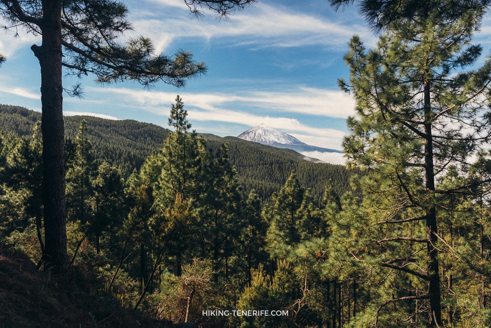
This is the hardest route in this guide: from the ocean to the highest point in Spain. The climb continues through the whole 27 km route and finishes at Teide, 3718 m above sea level.
Along the way, Tenerife shows almost all its landscapes: laurel and pine forest, the Orotava Valley, Teide from different angles, and sunrise or sunset from the volcano. To see sunrise from Teide, you need to plan the night near the high mountain area and the early final climb very carefully.
Even with an overnight split, this route belongs more to marathon runners, triathletes and very strong mountain people than to calm holiday walkers. If you came for gentle hiking, keep reading and choose something kinder.
If a hike starts at the ocean and ends on Teide, it is not a casual challenge. It is a life choice with boots.
Guimar Windows and water channels
The Guimar Windows route follows old water channels on the slopes of Barranco de Badajoz. The appeal is unusual: windows cut into the old aqueducts, tunnels, ravine views and the feeling of looking into empty space.
You need a helmet and headlamp for this route. It is about 6 km with around 300 m of elevation. It is only for people who are comfortable with enclosed spaces, edges and old infrastructure.
Honest verdict: it is unusual, but I personally prefer hikes in other parts of the island. Go only with a guide and only if the specific route conditions are safe.

Around the young volcano Chinyero
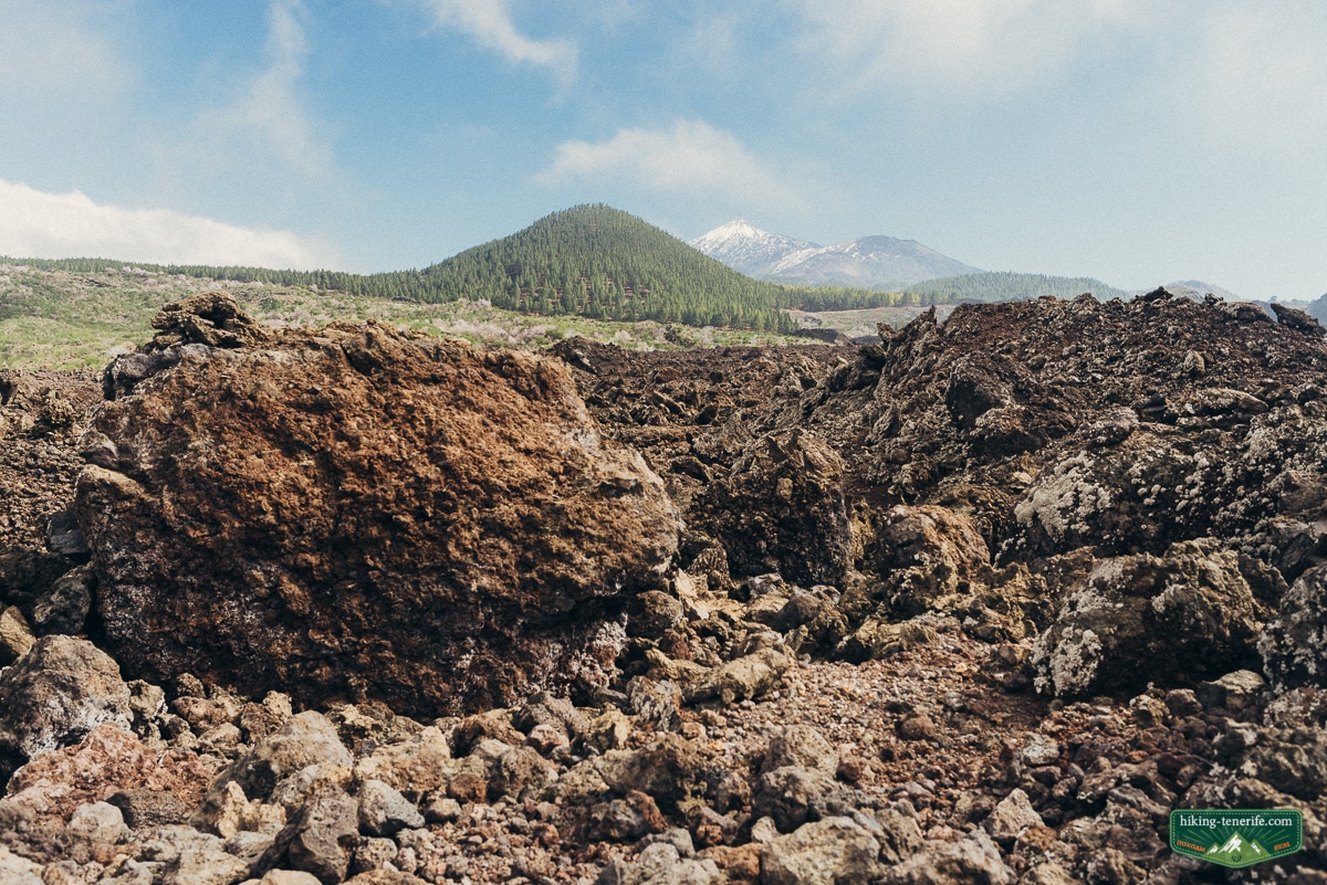
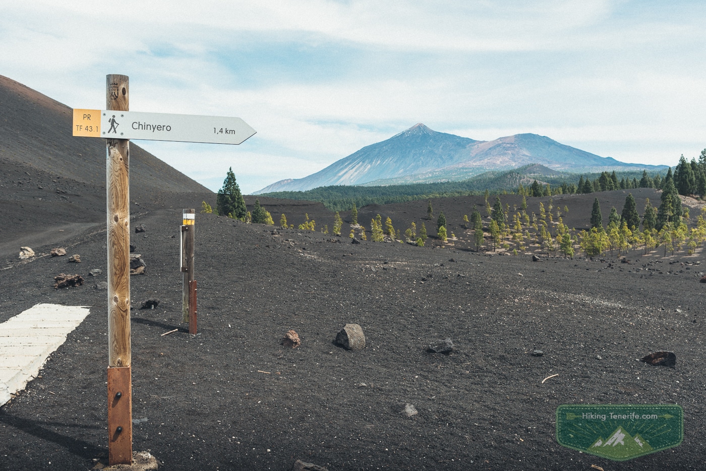
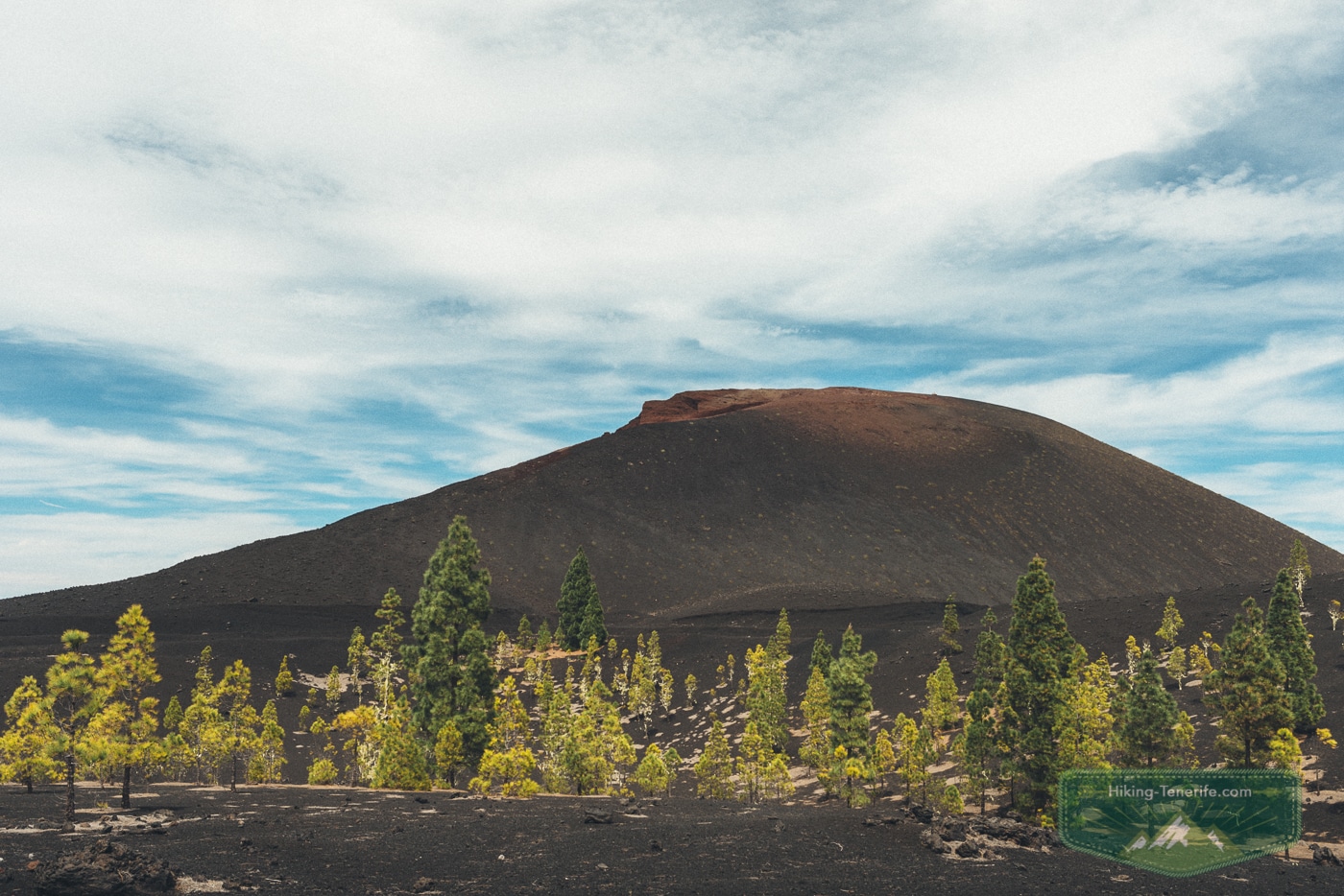
Chinyero is a simple route around the youngest volcano of Tenerife. It is a light walk through frozen lava, pine trees and cloud mood at around 1560 m elevation.
The protected reserve around Chinyero makes volcanic hiking feel more interesting than some easier Teide stops. The route is about 6 km with around 200 m of elevation change, and you can do it independently if you are comfortable with normal marked trails.
Good for: a lighter volcanic walk. Avoid if: you need shade all day or dislike walking on uneven lava ground.
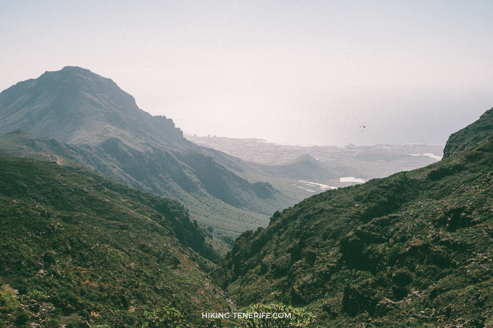
Barranco del Rio
Southern Tenerife is known for dry climate, but many ravines hide lush vegetation. Barranco del Rio is a good example. The amount of water depends on the season.
The route passes through the Arico mountains. Large Canary pines hang above the path, and the trail repeatedly crosses the stream, which means wet, slippery stones. Good trekking shoes are necessary.
I recommend going with a guide in summer and choosing a dry, stable weather window. In or after rain, ravines deserve more respect than enthusiasm.
Ravines do not care that your holiday calendar is full.
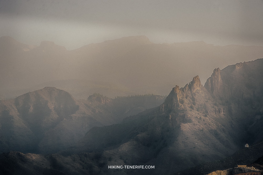
Barranco del Infierno
Barranco del Infierno is a classic Canarian ravine close to the tourist beaches of Adeje. It is one of Tenerife’s most popular walking routes, along with Masca Gorge. My opinion is blunt: it is popular partly because of marketing, not because it is the most beautiful hike on the island.
The trail was closed for a long time and later reopened with controls and safety measures. Daily limits, tickets and opening hours can change, so check the official booking site before booking or walking.
The route starts near Calle Los Molinos and leads toward a small waterfall that is stronger in winter and often much weaker in summer. It is a convenient alternative to a beach day in the south, and you can do it without a guide if you book correctly, obey the rules and wear proper shoes.
Local verdict: go if you want a controlled, accessible ravine walk near Adeje. Skip it if you came to Tenerife for wilder, quieter and more impressive hiking.
Convenient is useful. It is not the same as unforgettable.

When a hiking guide is worth it
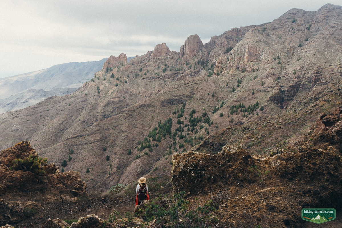
The most important reason to hike with a good guide is safety. A guide who knows the route has walked it many times, understands where people get into trouble, and can help choose a route for your month, weather, fitness and confidence.
It is tempting to think that marked trails mean you cannot get lost. But I often hear stories from travellers who took a map, read a forum, turned the wrong way and discovered that funny holiday stories stop being funny very quickly.
One old Masca rescue story ended with a helicopter, a night in a cave and a large fine. Good holiday, expensive punchline.
- A guide reduces the chance of getting lost.
- A guide chooses the route for your fitness and the current season.
- A guide checks equipment before the walk.
- A guide knows where the best views, food stops and hidden details are.
- A guide helps manage energy, risk, timing and unexpected problems.
Choose the route by the weakest honest answer in the group, not by the strongest photo.
This guide is based on my own experience and impressions. I love the island and its far corners, and the goal is simple: choose the right route, walk carefully, and come back with the strongest memory of your Tenerife trip.
Handcrafted Tenerife hiking help
Choose the route that fits the real day.
If you want a hiking day with route order, safety logic, local context and fewer bad surprises, use my Tenerife guide or ask for local advice before you book.
FAQ
Search demand around Tenerife hiking is practical: people want the best routes, whether they need a car, where to stay, what season works, and which trails need permits. Here are the short answers.
What is the best hiking area in Tenerife?
Anaga is usually the best first answer for green mountains, wild coastline and route variety. Teno is excellent for ridges, villages and Masca alternatives. Teide is best for volcanic landscapes and altitude.
Do I need a car for hiking in Tenerife?
For many routes, yes. Some trailheads have buses, but schedules and connections can limit the day. If you do not rent a car, choose routes around La Laguna, Puerto de la Cruz, Anaga access points or guided walks with transport.

When is the best season for hiking in Tenerife?
Autumn, winter and spring are usually best because temperatures are kinder. Summer can work in shaded laurel forest or early mornings, but exposed routes can become too hot.
Which Tenerife hikes need permits?
Teide summit access, Masca Gorge, El Pijaral/Bosque Encantado and some controlled protected-area routes may require permits or bookings. Check official sources before planning.
What should I bring for Tenerife hiking?
Bring proper shoes, 1-2 litres of water per person for normal routes, sun protection, warm layers for altitude or cloud forest, offline maps, charged phone, snacks and enough daylight. Tell someone where you are going.


