

Short answer: surfing near Taganana means Playa de Almáciga, not the village itself. This is a powerful, open-ocean beach on the Anaga coast for surfers who can make a conservative live decision; it is not a romantic first-lesson shortcut.
Taganana is one of the most beautiful corners of Tenerife: steep mountains, black sand, big Atlantic water and a road that makes the island suddenly feel much larger. The surf part of the story happens at Almáciga, the nearby beach beneath the Anaga slopes.

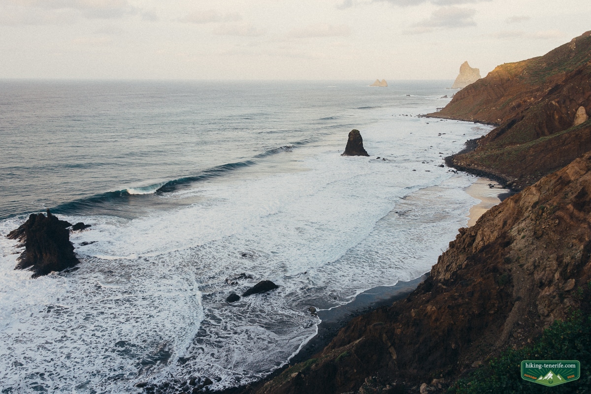
I still love combining this coast with a walk or a long lunch. But I would never treat the waves as an extra activity to tick off because the photo looked dramatic. Here, the sea gets the final vote.
Quick Verdict
Almáciga is an exposed black-sand beach with stone and gravel sections, strong surf and changing currents. The big draw is obvious. The practical catch is just as obvious once you stand there.
| Consider it if | You are already capable of assessing an exposed beach break with local input and a real exit plan. |
| Leave it alone if | The shorebreak, current, wind, flags, forecast or your own confidence makes the answer anything but clear. |
| Not the answer for | A casual beginner session, solo experimentation, a fixed timetable, or a no-car day with no return plan. |
| Use the name correctly | Taganana is the village; the beach discussed here is Playa de Almáciga, near Benijo on the Anaga coast. |
Local verdict: this is surfing north Tenerife at its most beautiful and least forgiving. If you need the article to persuade you that today is a good day, it probably is not.

Where The Surf Actually Is
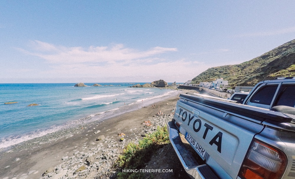
Use Taganana as the wider place name, not as a promise that the village has one simple surf spot. The beach in this article is Playa de Almáciga, on the north-east Anaga coast. Benijo and Roque de las Bodegas are nearby beaches with their own shape, tide space and exposure.
Almáciga is open to the ocean. It has dark volcanic sand, but also rock and gravel areas. The cliffs and Roques de Anaga make it feel cinematic; they do not make the entry, current or exit easier.
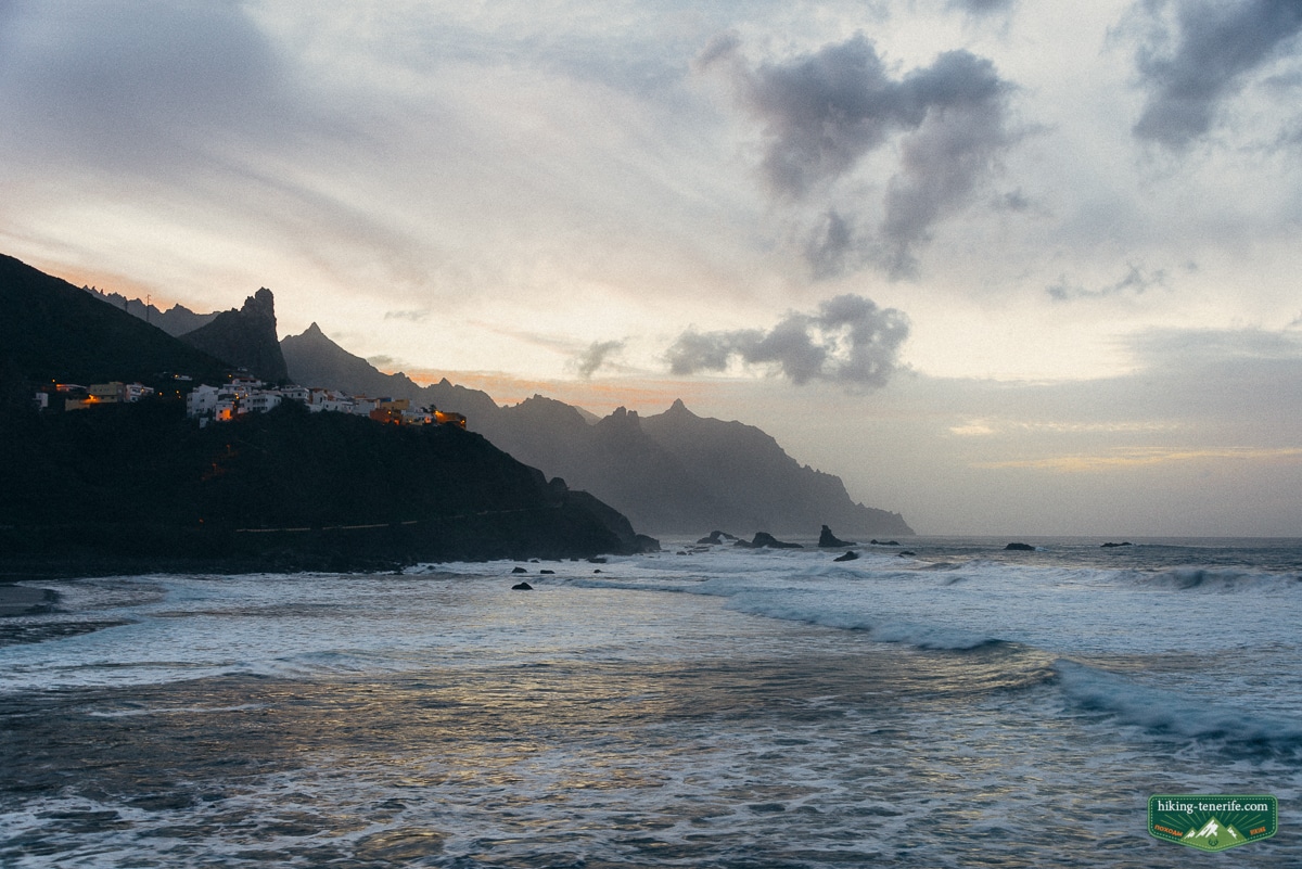
Map note: do not search only for “Taganana surf” and assume you have found the beach. Put Playa de Almáciga into the forecast, route and transport check, then look at the actual shore before you decide anything.
The Live Decision Gate
The old local story was that spring through early autumn could feel friendlier than winter. Keep the feeling, not the calendar rule. Winter can bring bigger swell and heavy cloud, but any season can produce a beach that is wrong for you.
- Check the marine forecast and the coastal-weather warning before leaving your base.
- Check the beach flag, notices and the sea you can actually see on arrival.
- Watch the set, shorebreak, current direction, people already in the water and their exit before you carry a board down.
- If an experienced local or professional says no, that is the plan. Do not negotiate with the Atlantic.
Safety rule: a favourable-looking forecast is not a surf check. At Almáciga, flags, visible current, shorebreak, local judgement and your ability to get out again all matter more than a saved forecast screenshot.

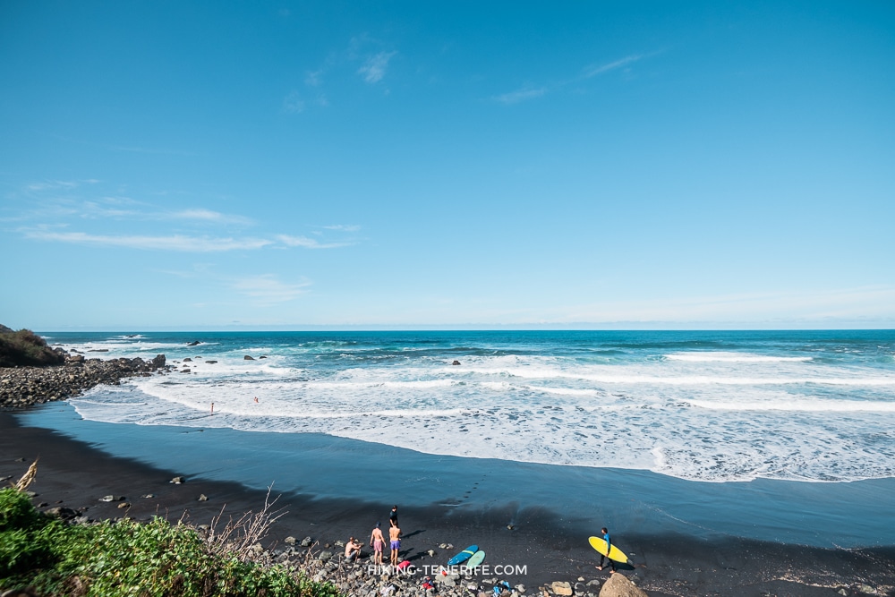
Do not make a solo session the default on a remote coast. Keep a charged phone, tell someone your plan, know that 112 is the emergency number, and do not rely on a seasonal rescue service to turn a marginal decision into a sensible one.
Municipal information lists beach surveillance in the high season, from 1 June to 30 September, but availability is not a reason to enter. Outside that period, or when conditions change, the margin gets smaller rather than more adventurous.
Access, Road, Parking And No-Car Reality
You reach Almáciga on the Anaga road network, including TF-134. It is a real mountain-and-coast drive, not a quick beach detour from the resort south. Check live road information after weather or works before you start the descent.
Parking is limited and the coast becomes busy at the same moment the day looks appealing. Do not block access, turn every bend into a loading bay, or assume a late arrival will create space because you have a board on the roof.
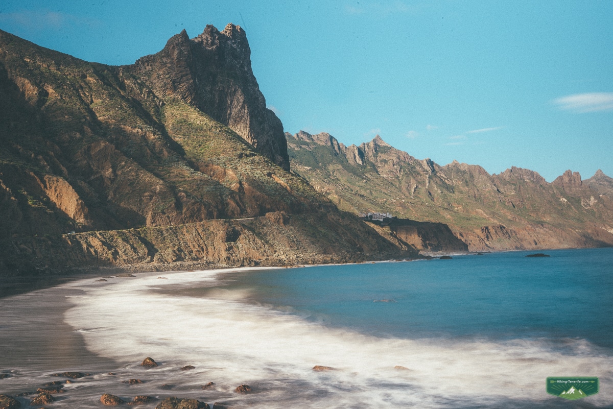
Without a car, TITSA line 946 links Santa Cruz, San Andrés, Taganana and Almáciga. That makes a visit possible, not effortless. Read the current return timetable before you go down, and keep enough daylight and margin to leave when the sea changes its mind.
Plan like this: treat a no-car Almáciga day as a coast-and-walk day first. If the sea says no, you still have Anaga scenery and a safe way home instead of a stranded surf mission.
Who Should Go Elsewhere
Beginners and less confident surfers should not use Almáciga as a casual initiation just because its sand can look forgiving in a photograph. The changing current, exposed sea, remote access and hard-to-predict exit are the whole point of this page.
For a first proper session, I would choose a supervised, more accessible teaching setup and let the instructor choose the beach for that day. The school area around El Medio in Playa de las Américas is one practical starting point to discuss, although it also has its own rocky-coast rules and needs local direction.
Use my full Tenerife surfing guide to compare the regular surf options honestly. It keeps Almáciga in its proper place: a specific Anaga-coast decision, not a substitute for every surfer or every level.

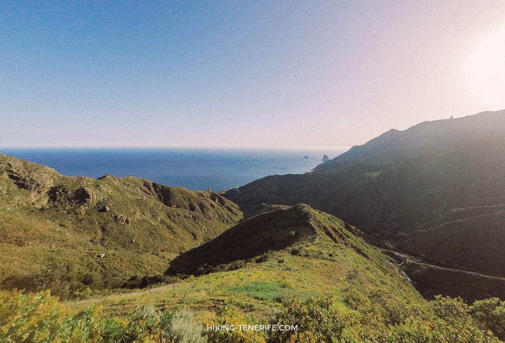
Common mistake: calling Almáciga “good for beginners” because you saw foam and a sand patch. Foam is not a lesson plan. If the conditions or access feel complicated, make it a beach-and-viewpoint day instead.
Make It A Respectful Anaga Day
Taganana, Almáciga and Benijo are worth visiting even when you do not surf. I like the idea of joining a coastal stop with a short, sensible walk, then giving the mountains and sea enough time instead of trying to force five Anaga pins into one afternoon.
Bring water and food rather than depending on one café being open at the exact moment you need it. Keep paths, local driveways and beach access clear; take every bit of rubbish home; do not climb cliffs or shortcut closed land for a better angle.
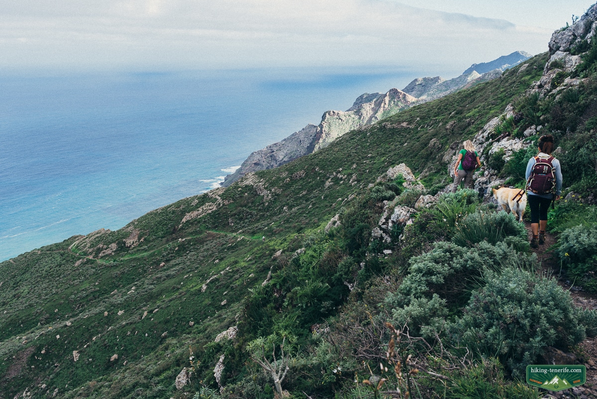
If you want to understand the wider roads, walks and coast rather than treating this beach as an isolated pin, read the Anaga Rural Park guide. It is the better companion for the landscape; this page is deliberately about the narrow surf decision.
Free Tenerife map
Keep Anaga as one good day, not a risky zigzag.
Use the free map to group Taganana, Anaga roads, viewpoints and a safe weather backup before you leave the coast.
FAQ
These are the stable planning answers. They do not replace the live check you need on the actual day.


