

The best viewpoints in Tenerife are not one tidy top-ten list. They are a way to choose the island you want to see: cloud inversion and Teide, wet Anaga ridges, Los Gigantes cliffs, north-coast valleys, or the dry south and east.
This guide keeps the old local road stops, but puts them in the order that helps a real trip. A viewpoint is a good stop when it fits your route, light, weather and energy; it is a bad stop when it turns into a blind chase across mountain roads.

Viewpoints guide: contents
Quick Verdict: Which Tenerife Viewpoint Fits Your Day?
For a first trip with a car, I would choose one Anaga stop, one Teide stop and one coast or town day rather than trying to collect every mirador. Start with the wider Things To Do In Tenerife guide if you have not yet chosen your island days.
- Teide and sea of clouds: Chipeque, La Tarta or Ortuño when the weather leaves a window.
- Forest, ridges and a cooler mood: Pico del Inglés, Cruz del Carmen and El Bailadero in Anaga.
- Cliffs and west-coast light: Archipenque, then keep Los Gigantes as a proper slow stop.
- Easy family or limited-mobility pause: Archipenque is the stronger first look; confirm current access before travelling.
- No-car traveller: build one Anaga or La Laguna day, not an island-wide viewpoint race.
- Sunrise or sunset seeker: use a legal, known stopping place and protect the drive home from darkness.
Good for photographers, road-trippers and curious first-timers. Avoid this plan if the day requires guaranteed visibility, instant parking, a toddler-friendly mountain marathon or a late return without a confident driver.
How To Choose A Tenerife Viewpoint
The same island can look beach-bright in the south, cloudy in the north and cold on Teide. That is not a forecast mistake. It is Tenerife being Tenerife.
| Choose this view if | Best stop | Effort | The honest catch |
|---|---|---|---|
| Teide above a cloud layer | Chipeque, La Tarta or Ortuño | Roadside stop; car strongly preferred | Cloud can hide the entire reward. |
| Anaga forest and distant cities | Pico del Inglés or Cruz del Carmen | Car or one focused bus day | Mist, bends and crowd pressure change the plan. |
| Los Gigantes cliffs and west light | Archipenque or Cruz de Hilda | Car day | Sunset is never worth a rushed dark drive. |
| North valleys and coast | San Pedro or Mazapé | Road stop | Scenery does not mean a calm swimming day. |
| Dry south or east landscape | La Centinela, Chirche or Chivisaya | Car day | A broad view is not a Teide-view promise. |
| One no-car viewpoint | Cruz del Carmen or Pico del Inglés | Live bus planning | Choose one area and protect your return. |

Before a mountain or forest route, use the Cabildo’s live road information and AEMET warnings. In high ground, wind, low cloud, heat, ice, fire restrictions or a closed section matter more than the pin you saved three months ago.
Parking rule: if a marked bay is full, it is full. Do not turn a viewpoint into a one-lane traffic problem, block a turning place or stop on a verge because the photograph looks better from there.
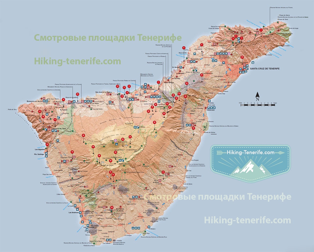
Free Tenerife map
Stop collecting random pins
Use the free map to group viewpoints with beaches, towns and lunch stops without driving the island back and forth.
Anaga Viewpoints: Forest, Ridges And The North-East
Anaga is for people who want Tenerife to feel older, greener and less resort-shaped. It is also where drivers underestimate the bends, visitors underestimate the cloud, and a small parking area can decide the route.
For a deeper route and trail decision, use the Anaga Rural Park guide. Do not turn this region into a quick drive-through between breakfast and a south-coast dinner.
El Bailadero
El Bailadero is the source article’s classic Anaga answer: ocean, steep slopes and Taganana far below. It is worth stopping when you are already taking the slow road through Anaga, not as a separate dash from a resort.
This is a car-oriented mountain stop. Stay on public, signed areas, keep the road clear and combine it with one careful Anaga plan instead of adding every coastal bend to the day.

Pico del Inglés
Pico del Inglés is one of the clearest choices for the Anaga-to-Santa-Cruz scale: ridges, city, the wider island and sometimes Teide beyond. It is popular for a reason, so go for the view rather than a solitude promise.
The official tourism listing notes roadside parking and bus line 073, but a car still gives more flexibility. It is not adapted access, and cloud can erase the distant part of the panorama without warning.


Cruz del Carmen
Cruz del Carmen is the gentler Anaga decision: a laurel-forest stop near La Laguna, with a chance of the valley and Teide when the air is clear. It works well for a family or no-car visitor who does not need a remote cliff-edge scene.
Parking demand is real, so public transport is often the considerate answer for a longer visit. Pair it with La Laguna rather than trying to force it into a full Anaga coast loop.
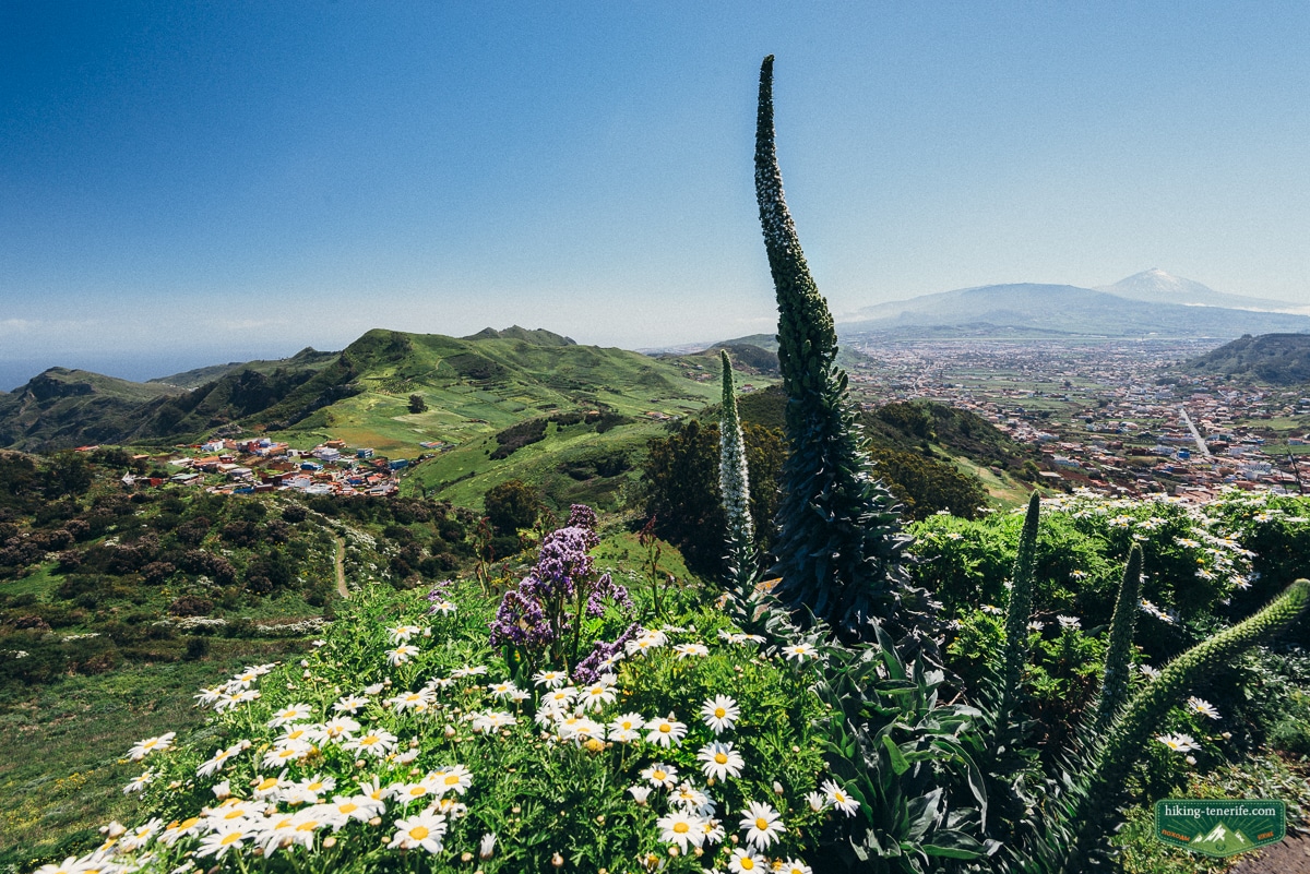
Anaga local rule: wear closed shoes, bring a layer and accept that the forest may be wet while the south is sunny. Use marked trails only and leave resident access, verges and turning spaces alone.
North Coast And Teno: Valleys, Ravines And Cliffs
The north and west do not give the same reward. The north is greener, more agricultural and more changeable; Teno adds deep ravines, slow roads and a useful reminder that a dramatic map route is still a real road.
Mirador de San Pedro
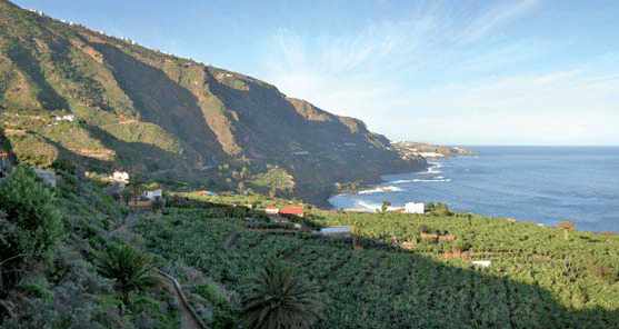
San Pedro is a practical north-coast pause above Rambla de Castro, palms and banana country. Use it on a Los Realejos or Puerto de la Cruz day, not as an excuse to invent an extra cross-island detour.
It is more photo-and-walk logic than beach logic. Continue toward North Tenerife or La Orotava when you want the rest of the day to make sense.
Mirador de Mazapé
Mazapé is a quieter north-coast look across the slopes around La Culata, Tigaiga and Ruiz. It earns a short roadside stop when you are already travelling this side of the island.
Do not promise it as a no-car attraction or a sunrise spectacle. Its value is the wide north-coast geography, especially for someone who wants to understand why the north feels different from the resort strip.
Altos de Baracán
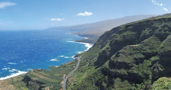
Altos de Baracán is one of the most useful landscape lessons on the island: the greener north side and the drier southern ravines show themselves almost at once. That contrast is the reason to go.
It belongs to a careful Teno day. Narrow roads, wind and changing conditions make this a poor place to drive tired, rush for a sunset or use as a casual family detour.
Cruz de Hilda
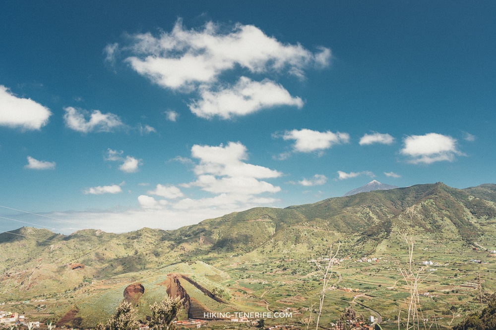
Cruz de Hilda looks down toward Masca’s palms and steep valley, which is why it remains in this guide. Go for the shape of the ravine, not because a famous name guarantees an easy day.
Treat Masca access, parking and any walk as separate live decisions. This roadside viewpoint can be a sensible stop; turning it into a shortcut into restricted or crowded ground is not.
Archipenque
Archipenque is the straightforward answer for Los Gigantes cliffs, the marina and the west coast. It is one of the few source stops that can work well for a shorter, less demanding scenic pause.
Official tourism information lists parking and adapted access, but confirm current conditions rather than treating either as a promise. Pair it with a slow South Tenerife or Los Gigantes afternoon, not a rushed Teide add-on.

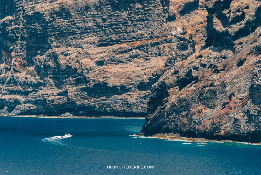
If you want a coastal resort day before or after the cliffs, Los Cristianos is easier without a car, while Playa de las Américas is the more energetic option. Neither is a substitute for Teno road confidence.
South, East And City Viewpoints: A Different Tenerife
These stops are useful when you want scale without a full Teide or Anaga commitment. They show the dry south, Güímar Valley and Santa Cruz from above, but they still work best as part of a car day.
Chirche
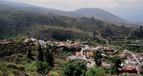
Chirche overlooks the foothills and coast around Guía de Isora, with Aripe below and the broad south-west beyond. It is a good pause on an inland road, especially if resort Tenerife is starting to feel too flat.
The viewpoint is a stop, not a walk invitation. Keep to public roadside spaces and pair it with one village or coast plan rather than trying to squeeze it between two timed activities.
Mirador La Centinela
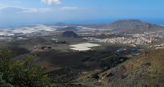
La Centinela opens the dry southern side: volcanic remains, the coast and the feel of the protected landscapes near Montaña Roja, Guaza and Rasca. It helps explain why the south is better for some kinds of weather and worse for green drama.
For a ground-level south-coast contrast, use El Médano. If you want wind and water sports rather than a viewpoint, the El Médano kitesurfing guide is the more honest next read.
Mirador Los Campitos
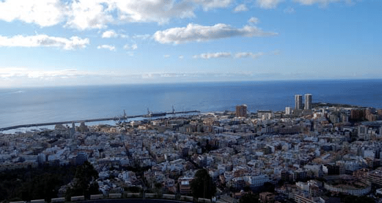
Los Campitos is the city panorama: Santa Cruz spread below, Anaga on one side and La Laguna nearby. It is an efficient way to see the north-east geography without pretending that every good Tenerife view needs a ravine.
It makes sense beside Santa Cruz or La Laguna, not as a compulsory stop on a Teide day. City traffic and road attention deserve more respect than a quick frame.
Montaña Grande
Montaña Grande swaps the coast for pine forest, Santa Cruz and the Anaga ridges. It is a calmer, more local-feeling stop for someone who likes the island’s middle ground.
Use it in daylight and keep the plan modest. A forest road, tired driver and fading light are not a romantic Tenerife combination; they are just three things to take seriously.
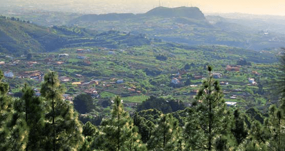
Teide, Clouds And Highland Viewpoints
Teide viewpoints are for landscape, not summit bravado. You can get enormous volcanic views from legal road stops and marked paths without treating the summit, crater rim or an unmarked edge as a photography prop.
For a fuller mountain day, read the Teide National Park guide. If you are considering dawn, the Teide sunrise guide explains why a legal viewpoint is the sensible answer for most visitors.
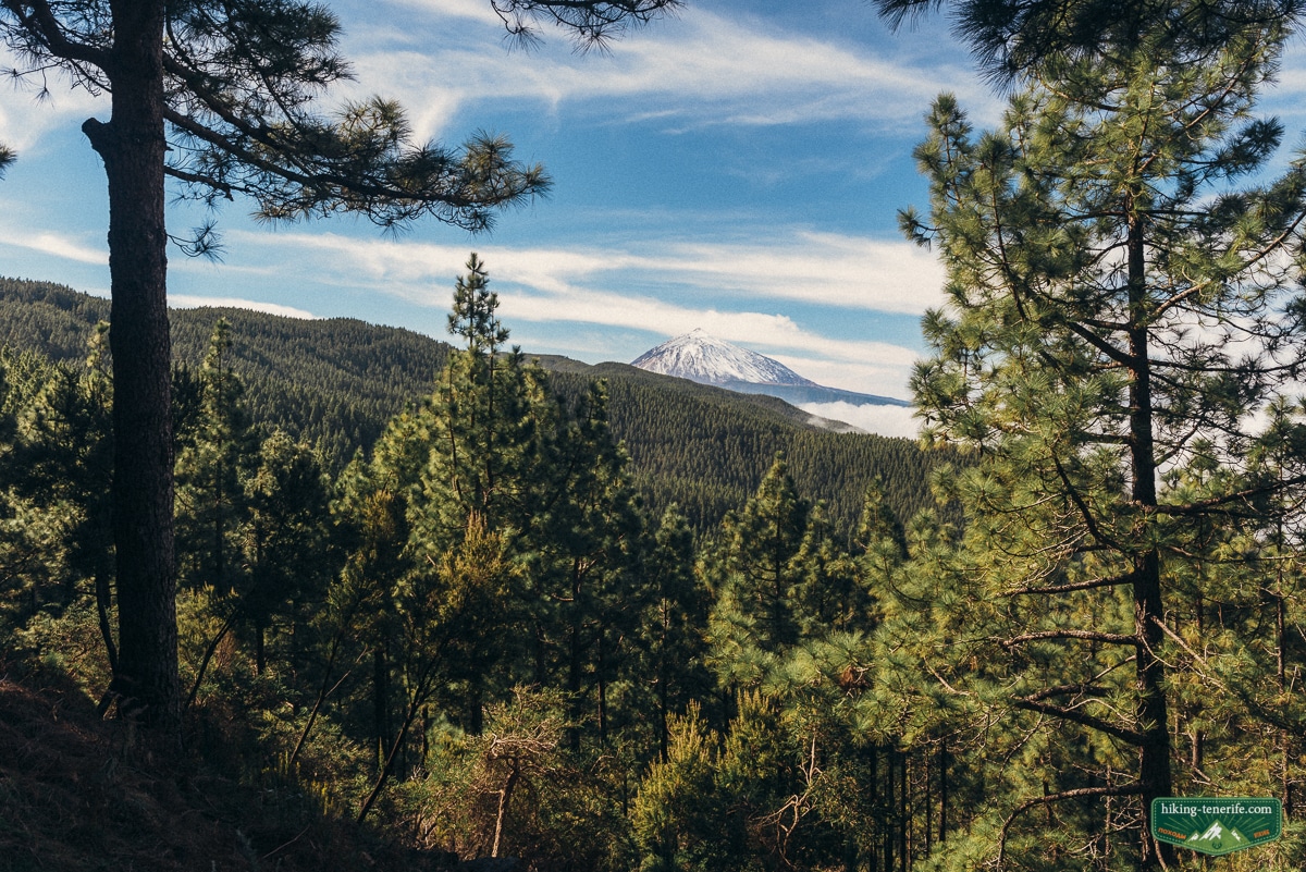
Ortuño: Teide Above The Orotava Valley
Ortuño is one of the best source choices for Teide, Corona Forestal pines and the Orotava Valley in one frame. It is particularly good for understanding the island’s vertical scale.
The cloud layer is part of the scene, not a failure. It can hide the valley, reveal a sea of cloud or cover Teide; build a flexible north-side day around it.
Chivisaya
Chivisaya looks across Güímar Valley, with towns, farms, greenhouses and the Corona Forestal above. It gives the island’s east a human scale that the famous volcano photographs often miss.
This is a car-road stop. Pair it with one east-side town or a calm coast walk, and do not turn private fields or track entrances into improvised parking.
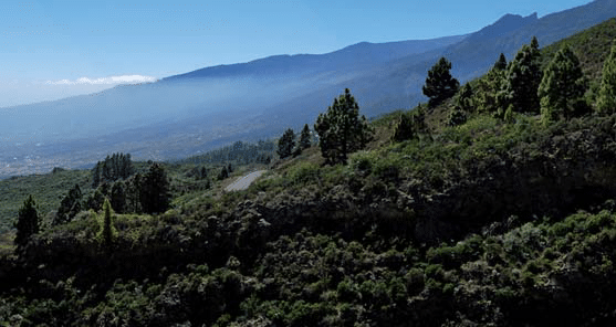
Cumbres del Sur Or Chimague
Chimague is a high Arafo view over Güímar Valley and the forest. On a very clear day, a neighbouring island may appear on the horizon; it is a bonus, not a booking promise.
Bring water and a layer even if the coast was hot. Highland wind changes a short stop quickly, especially when the plan also includes a long drive.
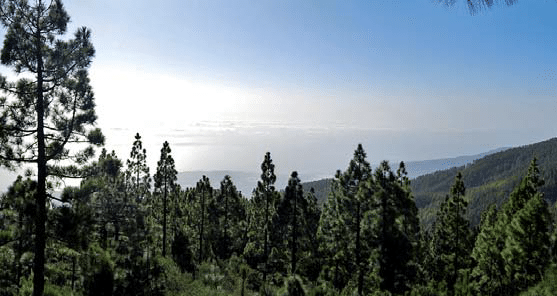
Cumbres del Norte Or Chipeque
Chipeque is the classic Teide-and-cloud-inversion answer, with the Orotava Valley below and Teno distant when the sky cooperates. It deserves the small-keyword attention because the decision is genuinely specific.
Go for a flexible clear window, not for an Instagram guarantee. If cloud swallows Teide, continue safely or choose a town plan; do not wait in a questionable roadside space.
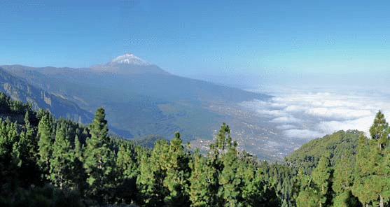
La Crucita
La Crucita gives another Güímar Valley angle from the Pedro Gil side, with old volcanic country and the east in view. It is a good small stop for readers who prefer landscape texture to famous-name collecting.
Low cloud often belongs to this valley. That makes the scene moody, but it can also remove the distant island view and slow the drive.
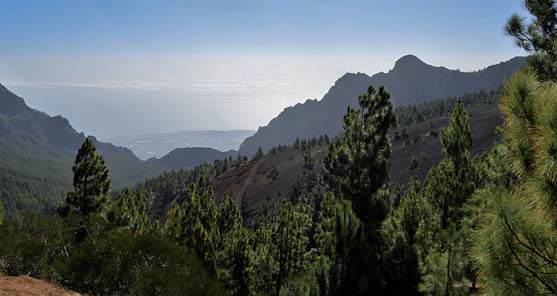
Mirador La Tarta
La Tarta is a strong Teide entrance stop: high peaks, forest below and the reason the weather often changes before you reach Las Cañadas. It is a real viewpoint, not merely a convenient shoulder on the way up.
Use the current road board before travelling high. The TF-21, TF-24 and other access roads can close in adverse conditions, and a clear coast is not a mountain clearance.
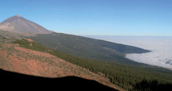
Los Roques de García
Roques de García is the easiest famous Teide landscape stop in this guide: volcanic forms, Llano de Ucanca and the caldera’s strange geometry. It is excellent for a first mountain day because the reward begins near the legal visitor area.
Stay on marked, permitted ground and keep the accessible or short signed route separate from a summit ambition. The view is already doing plenty; the rocks do not need a shortcut.
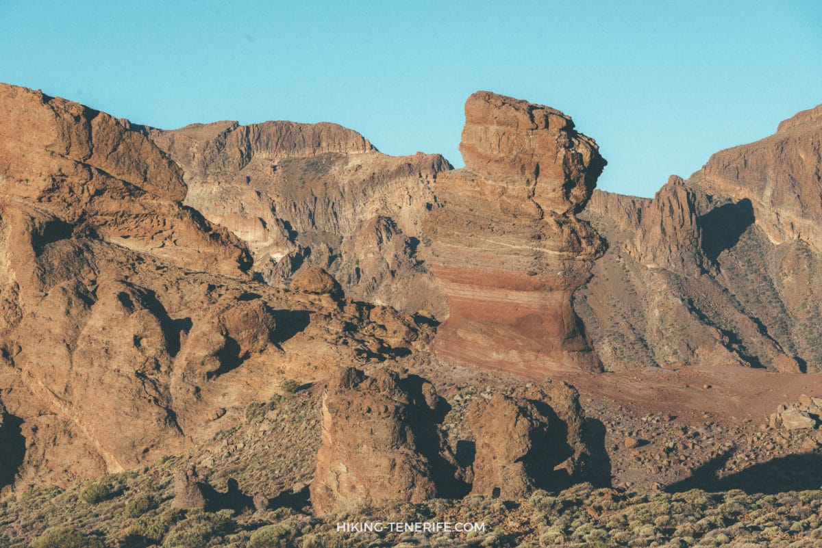
Boca Tauce
Boca Tauce faces Pico Viejo and the dark lava from the 1798 eruption, giving a cleaner volcanic-colour lesson than another generic Teide panorama. Use it as a short roadside pause on the correct route, not a destination that forces a late detour.
It is exposed high ground. Do not promise warmth, open road, wind-free conditions or a safe night drive; check the current road and weather situation before you commit.
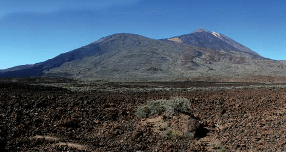
Teide rule: viewpoints are not summit access. The Telesforo Bravo summit path is controlled, permits and closures apply, and the crater area is not a place to wander off marked ground.
Three Half-Day Route Combinations That Make Sense
La Laguna and Anaga: start in La Laguna, use Cruz del Carmen or Pico del Inglés, then decide whether the weather deserves a slow Anaga continuation. This is the best no-car-adjacent answer because you can stop before the remote coast turns the day into transport arithmetic.
West coast and cliffs: make Archipenque the scenic point inside a Los Gigantes or south-west day. Do not add Teide or a full Masca route just because the map lines look close.
Teide and north valley: choose one Teide viewpoint, then descend through La Orotava only if the weather and energy still work. The La Orotava guide is a much better cloudy fallback than forcing a second high-altitude stop.
A complete Teide day
Want route order without the late-drive gamble?
The handcrafted guide helps you choose the stops, timing and quieter logic for Teide without treating the mountain as a checklist.
Safety, Weather And Common Mistakes
Do not stand beyond barriers, approach a cliff edge for a wider frame, cross protected ground, fly a drone without confirming the exact lawful conditions, or leave children near an exposed drop. A photograph is never a reason to block a road or ignore a closure.
The recurring mistake is trying to combine Teide, Anaga, Masca, a beach and a sunset in one day. Tenerife is compact on a screen and slow in the hills. Pick one landscape family, leave time for cloud and traffic, and go home before the driver is done.
- Check before leaving: road status, weather warnings, local signs and any route reservation.
- For mountain roads: use a rested driver, fuel, water, closed shoes and layers; do not start a new unknown road near dark.
- For protected ground: stay on public marked areas, keep litter with you and do not disturb plants, wildlife or private land.
- For families and reduced mobility: choose one known short stop with a simple exit; do not build the day around a roadside scramble.
- For no-car visitors: choose one connected area and check a live journey home before your outward bus.
Beautiful, yes. Effortless, no. The best Tenerife view is the one you can enjoy without making the road, the landscape or the return home worse for everyone else.
Tenerife Viewpoints FAQ
These are the questions that actually change the plan.
If the weather gives you only one clear window, take it. Tenerife will still be here tomorrow, and it looks better when you do not spend the day arguing with a cloud.


