

Short answer: Paisaje Lunar is pale tuff at Los Escurriales above Vilaflor. Choose it for a proper pine-forest mountain day from the south. Do not choose it for a quick beach-day stop.
Looking for hiking in Tenerife south? This is one of the island’s stranger, more satisfying answers.
Climb out of Vilaflor. Pass along the old Camino de Chasna. Then look down at the white formations from their signed viewpoint.
The reward is real. So is the climb.
Quick verdict: is the Lunar Landscape worth it?
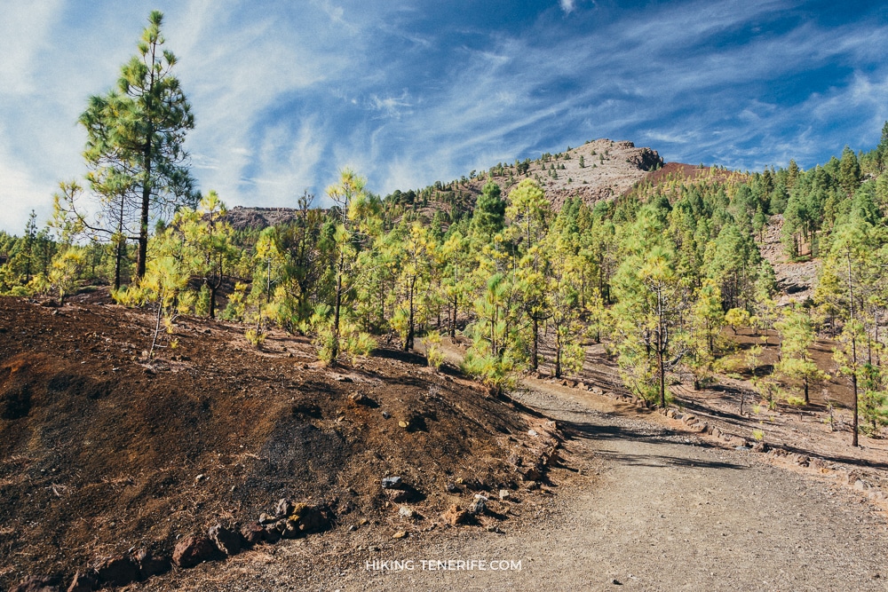
Yes, if you want a proper mountain route with forest, volcanic ground and one unusual finish.
I would skip it if you only have a couple of hours. Skip it too if you dislike sustained uphill, need an improvised bus return, or want guaranteed beach weather.
My honest verdict: Paisaje Lunar is more satisfying than the photographs promise because the approach has a real landscape of its own. But the pale cliffs are seen from a lookout, not explored like a playground. Beautiful, yes. Effortless, no.
| Choose it if… | Choose something else if… |
|---|---|
| You enjoy a five-hour hill day and can manage a long steady climb. | You need a short stroll, pushchair access or a low-commitment family stop. |
| You have a car, or a carefully checked transport plan, and can start early. | You are trying to squeeze it between pool time and a south-coast dinner. |
| You want forest, geology and a quiet change from the resort strip. | You mainly want Teide’s wide volcanic plateau; use the Teide National Park guide instead. |
The pale cliffs are the reward. The mountain day is the price.
What the Lunar Landscape actually is
The name is not a promise of a giant moon set.
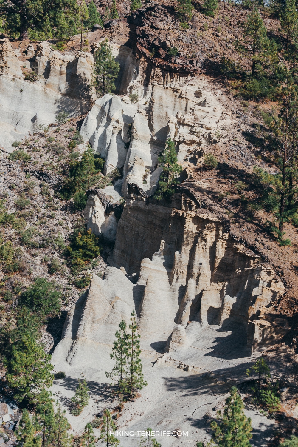
Los Escurriales is fragile pale tuff cut into a dark volcanic slope. That is why it looks so startling after the pines.
You see it from the Mirador de Los Escurriales. That distance is part of the point.
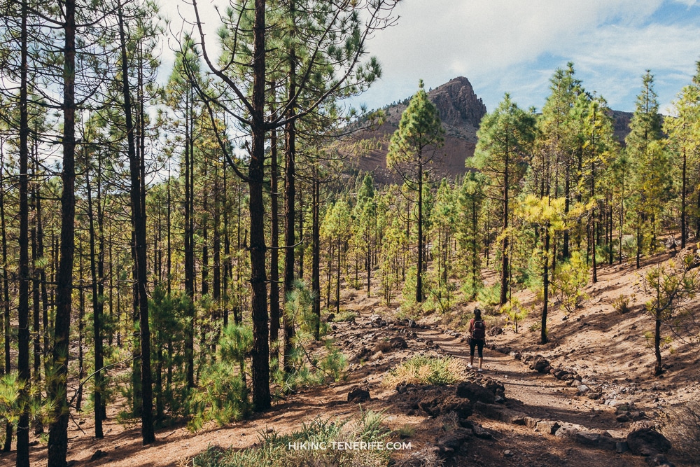
The route is not a Teide summit hike and it is not an Anaga forest walk wearing a clever name. It is a high, dry pine-forest route above Vilaflor, with old path history, changing light and a viewpoint rather than a place to scramble around in the formations.
The route that makes sense: PR-TF 72 from Vilaflor
Use the signed PR-TF 72 circular route from Plaza de San Pedro in Vilaflor.
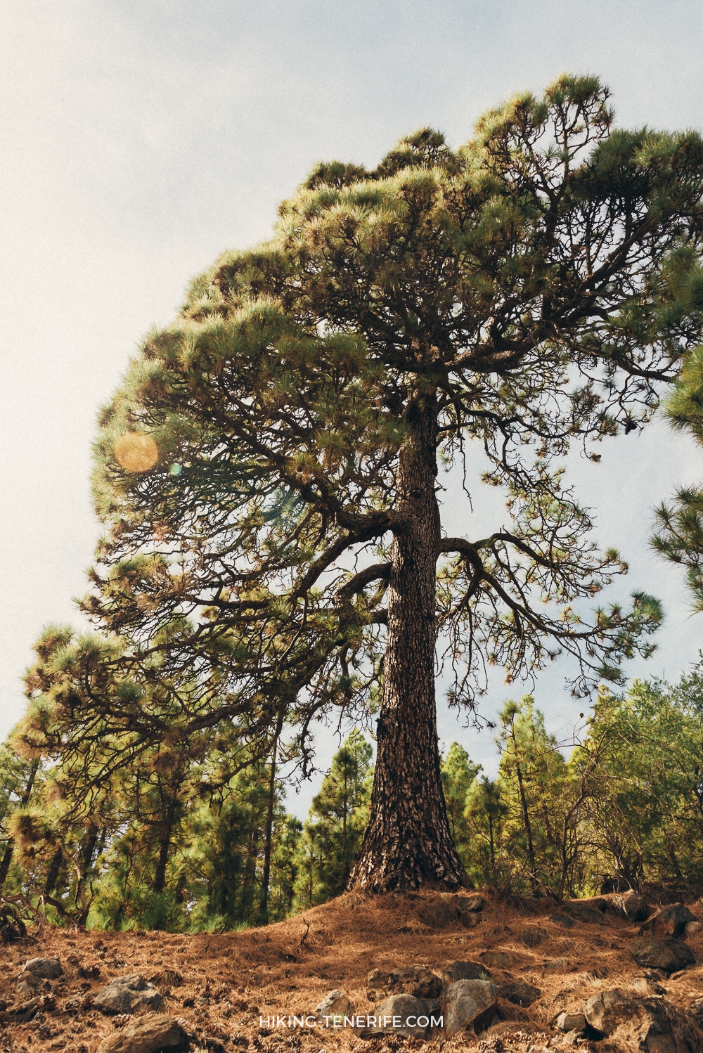
It follows the Camino del Atajo and the old Camino Real de Chasna through the pines. It passes Casa Galindo and the Barranco de las Mesas.
The Los Escurriales viewpoint comes on the descent. The route then returns through Casa de Los Llanitos.
That is the version I would plan.
Old tracks can make a forest-road approach look clever. They can also turn a simple day into a bad road decision or leave you dependent on a closure.
A rental car is useful for reaching Vilaflor. It is not a licence to drive wherever a fading line on a map points.
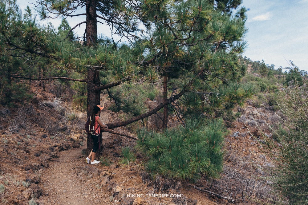
A shortcut is only clever until it makes the day worse.
PR-TF 72 at a glance
The current route card puts the start and finish at Plaza de San Pedro in Vilaflor, around 1,420 metres above sea level. The important number is not just the distance: the route keeps climbing through its first seven kilometres before the return feels easier.
| Official route | PR-TF 72, circular Vilaflor – Paisaje Lunar – Vilaflor |
|---|---|
| Start and finish | Plaza de San Pedro, Vilaflor |
| Distance | 12.9 km |
| Estimated time | About 5 hours |
| Ascent and descent | About 780 m each way |
| Practical difficulty | Medium-high: sustained climbing, uneven ground and a long return |
Common mistake: planning by the old 2–4 hour, 7 km version. That shorter figure is not the current full signed loop from Vilaflor. Leave daylight for a slow group, photo stops and a sensible turnaround.
Difficulty, footing and the real fitness test
The route is not technical mountaineering, but it is not a promenade either. Expect rocky forest paths, a long uphill rhythm and enough altitude to slow someone who felt fine in Los Cristianos.

Wear walking shoes with grip. Take more water than your coastal morning suggests, plus food and a warm or waterproof layer.
Do not expect toilets, drinking water or staffed facilities on the trail. Use Vilaflor before starting and carry everything you need for the full circuit.
The pines give intermittent shade, but exposed sections still bring hard altitude sun. Carry a hat and sun protection, and do not assume phone coverage or quick help around the next bend.
Navigation: download the official route information before leaving Vilaflor, then follow the current PR-TF signs. Videos show the mood; they are not an offline map or a safe route home.
Starting in Vilaflor: driving, parking and no-car reality
From the south coast, Vilaflor is a change of world, not a quick detour. Start at Plaza de San Pedro, build time for the mountain road and arrive early for parking. Parking is not a space you have booked by optimism.
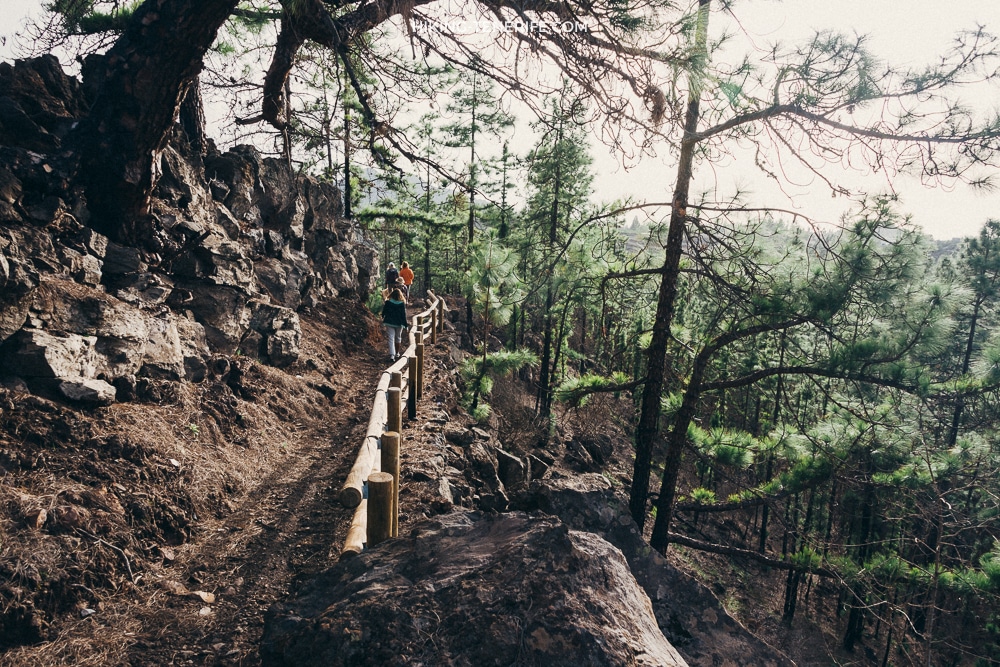
Without a car, line 482 is the useful TITSA connection between Los Cristianos and Vilaflor. Check the live line 482 timetable for your date because weekday and weekend service differ.
Make sure the return leaves a safe margin if the walk runs long. If the timetable forces a rushed trail or dark return, choose a lower-commitment day in Los Cristianos or south Tenerife.
Altitude, weather and the morning check
Vilaflor is already high before the route climbs higher. A hot, cloudless coast can become cool cloud, wind, rain or hard sun among the pines. The reverse can happen too, so do not let a hotel balcony decide what you pack.
Before leaving, open the official Tenerife ON trail status and the current PR-TF 72 route card.
Current-access reality: the official route card does not list a standard reservation or hiking permit for PR-TF 72. That never overrides a live closure, wildfire restriction, emergency measure or scheduled access control, so check Tenerife ON on the morning of the hike.
Then check the Vilaflor forecast and Canary Islands emergency alerts.
A fire restriction, road problem, heat alert, wind, low cloud or heavy rain changes the plan. It is not a detail to negotiate with in the car.
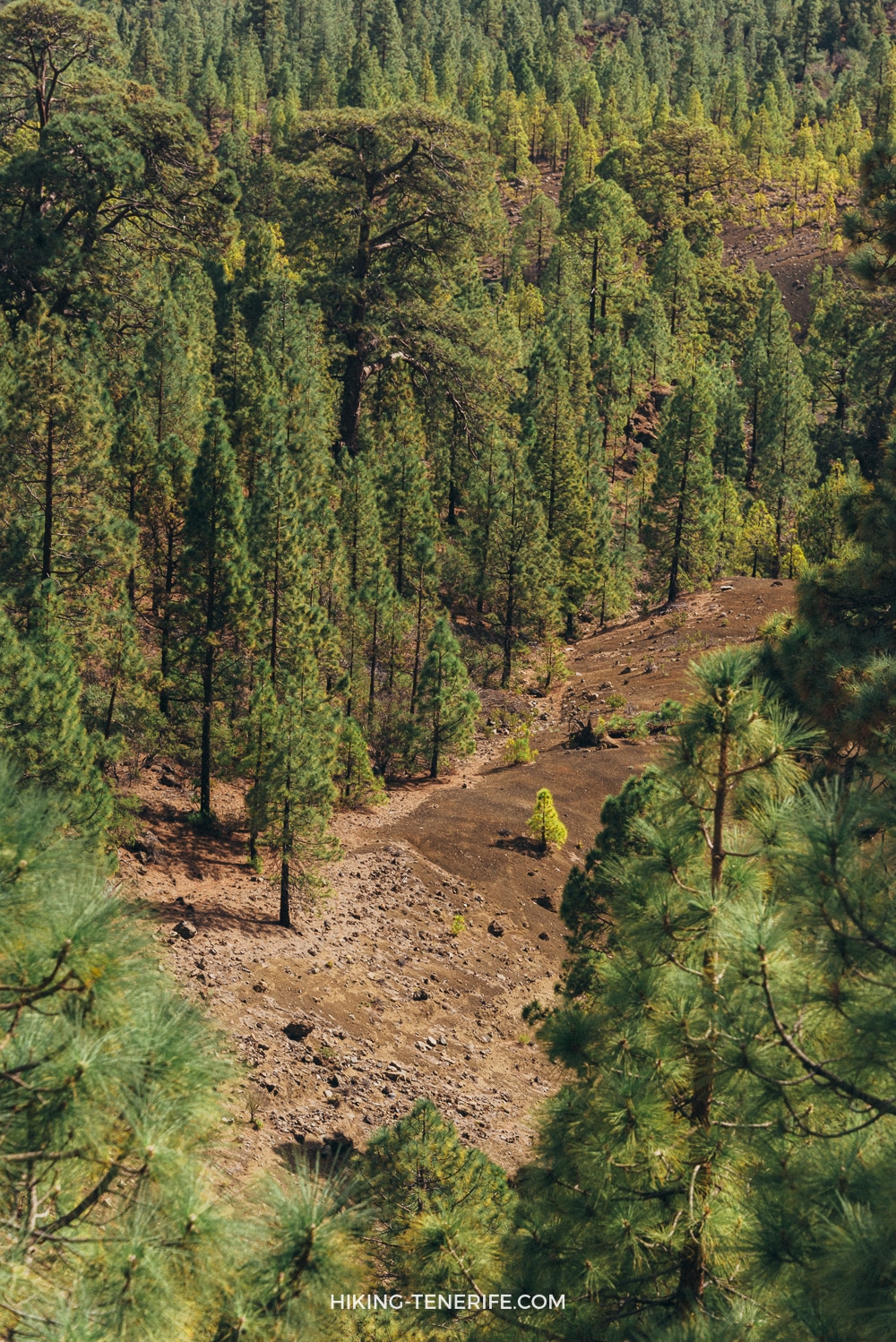
Safety rule: turn around early if cloud hides the signs, the surface gets slippery, wind makes the ridge feel wrong, water is running low, or the slowest person is already working much harder than planned. The white cliffs will still be there on a better day.
Families, photographers and people who should skip it
For active older children and teenagers who already enjoy a long uphill route, this can be memorable with patient pacing.
For toddlers, pushchairs, reluctant walkers and anyone newly acclimatising after a beach holiday, I would not call it an easy family hike.
Choose a shorter, clearer outing. Save this one for the right group.
For dogs, check the current protected-area and seasonal rules before deciding. Do not assume that an official walking trail means unrestricted dog access, and never improvise around livestock, wildlife controls or a closure.
| Traveller | My practical answer |
|---|---|
| First-time hiker | Possible only with decent fitness, shoes, water and an early start; do not confuse signed with effortless. |
| Regular walker | A rewarding south-side forest day if conditions are settled and you respect the five-hour scale. |
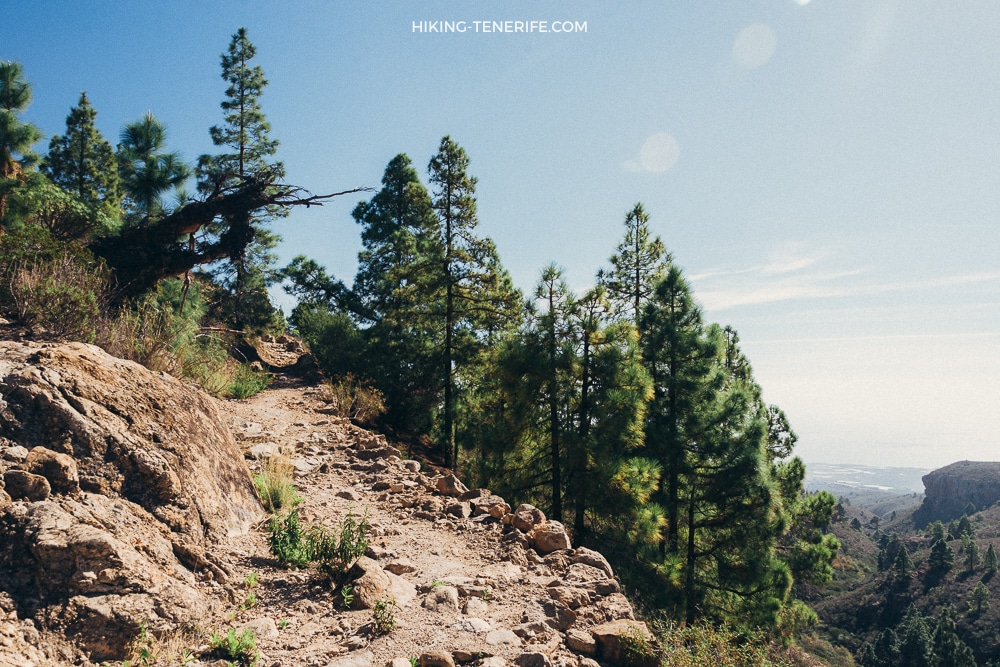
| Photographer | Good for forest texture and the white cliffs; use the marked lookout and leave time for the return. |
| South-coast guest | Make it your one main activity, not an extra after the beach. |
| No-car visitor | Only with a live transport plan that leaves a safe margin on both ends. |
A long hike becomes a family day only when the slowest person still enjoys it.
How to enjoy a fragile place without ruining it
Stay on the marked trail and view Los Escurriales from the lookout. Do not climb, touch or step into the pale formations for a closer photo.
Soft tuff erodes, and every shortcut becomes a new path. Leave no rubbish, keep noise low, do not fly a drone and never treat a closure as optional.
Photograph the formations from the signed viewpoint and let the changing light do the work. A closer footprint is not a better photograph when the ground is this fragile.
Already planning a Teide day as well? My Teide Volcano Magic guide helps you choose a clear-sky route without squeezing two demanding mountain days into one rushed holiday plan.
If this is not your day, choose a better Tenerife walk
Do not force Lunar Landscape because it is famous. For a wider shortlist, use my best hikes in Tenerife guide.
- Choose the Montaña Blanca Teide hike if a higher, more volcanic Teide day is what you actually want.
- Choose the Monte del Agua hike if damp forest and long green ridges sound better.
- Use the island-wide Tenerife guide if a gentler south-coast reset is the honest answer.
Plan like this: keep Lunar Landscape and Teide as separate mountain days. The island is smaller on a map than it feels after a long climb.
Lunar Landscape Tenerife FAQ
These are the four questions that most often change whether this hike fits the day you are planning.
Where is the Lunar Landscape in Tenerife?
Los Escurriales, known as the Lunar Landscape, sits above Vilaflor. The full official PR-TF 72 is a circular trail from Plaza de San Pedro in Vilaflor through pine forest to the Los Escurriales viewpoint and back.
How long is the PR-TF 72 Lunar Landscape hike?
The current PR-TF 72 route card gives 12.9 km, about five hours and nearly 780 m of ascent and descent. It climbs continuously for much of its first seven kilometres, so allow more time if your group walks slowly or stops for photographs.
Can I drive to the Lunar Landscape?
Drive to Vilaflor for the official loop, not to an old forest-road shortcut. Road, parking and forest access can change; use the current trail information and road conditions on the morning of the hike.
Is the Lunar Landscape hike good for children?
It can suit experienced, well-prepared hiking families, but it is not a casual buggy-friendly walk or an easy beach-day add-on. The distance, long climb, exposure and return time matter more than the word “lunar”.

