

Quick answer: the Monte del Agua walk is one of my favourite ways into Teno Rural Park when I want cloud forest, giant ferns, fields and wide views without making Masca Gorge the whole day. It is a real mountain loop from El Palmar, with a steep push and changing ground, so go for it if you are fit, properly shod and happy to let the weather make the final decision.
One correction before we go anywhere: this is Teno Rural Park or Parque Rural de Teno, not a Spanish National Park. People search for “Teno National Park”, so I understand the wording; the official name matters because it tells you what kind of place this is: a lived-in, protected rural landscape, not a single gated attraction.
The route in this story climbs from El Palmar through farmland and forest around Monte del Agua, then comes back through a completely different mix of plants and views. It is the kind of day that makes Tenerife feel much bigger than its resort postcards.

Quick Verdict: Is Monte del Agua Worth the Effort?
Yes, for walkers who enjoy a varied, quiet mountain day more than ticking off a famous viewpoint. The best moments are not one big reveal. They are the fields, the damp air under the trees, the absurdly large ferns, then the cloud opening just enough to show how far into Teno you have wandered.
I would skip the full loop if anyone in the group is uneasy on steep uneven ground, needs reliable facilities, is trying to squeeze it between a south-resort breakfast and Masca sunset, or has not checked current wind, rain and trail notices.
| Choose this day if… | Choose something else if… |
|---|---|
| You want a proper El Palmar and forest loop with a sustained climb. | You need a short, clearly bounded walk; use a current official Tenerife ON trail card instead. |
| You like woodland, foggy atmosphere, flowers and changing terrain. | You want guaranteed blue-sky photography or a beach-style easy day. |
| You can check the weather and turn around if the mountain feels wrong. | You need a fixed schedule, certain transport or a promised parking space. |
| You are curious about Teno beyond Masca. | You only want Masca village or the gorge; that is a separate plan with separate rules. |
Good for: fit walkers, older children used to hills, photographers who enjoy cloud forest, travellers based in the north-west, and anyone who wants an honest alternative to a crowded famous hike. Avoid if: you have vertigo or mobility limits, are in sandals, depend on continuous phone signal, or want an easy no-car excursion with lots of services.
What This Teno Route Actually Is
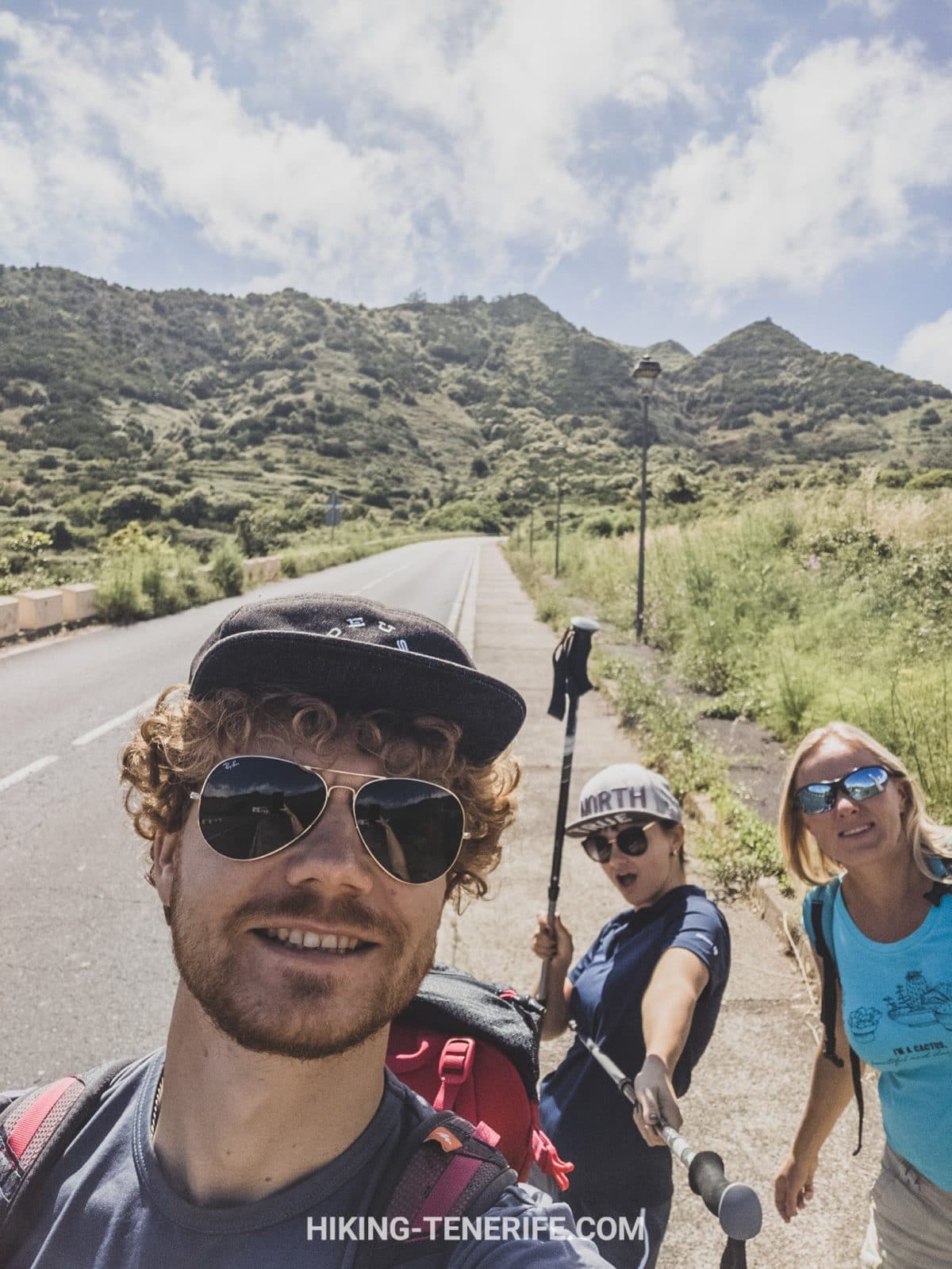
The original route starts and finishes around El Palmar, climbing towards Monte del Agua and Las Lagunetas before returning through the valley. That matters because “Monte del Agua hike” can describe several official trail segments, not one universal GPS line.
Do not casually relabel this full mountain day as PR-TF 52.2. The official PR-TF 52.2 card is a much shorter linear section from the Monte del Agua track down to El Palmar. Our loop uses the same landscape and connectors, but it is the longer, steeper day described here.
I am deliberately not giving it one magic distance or finishing time. Different loops, starts and detours around Monte del Agua are mapped differently, and the route is only useful if you follow the actual plan in your hands rather than a round number in an article.
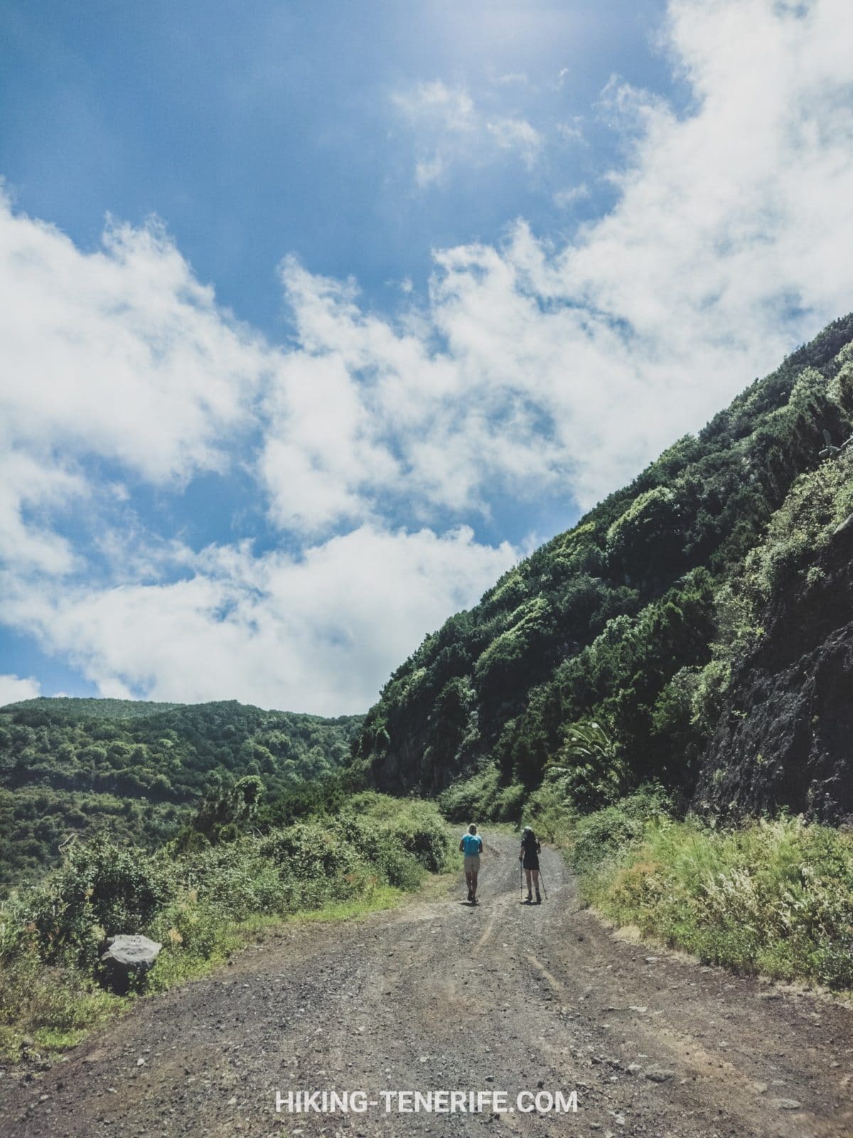
The reliable description is simpler: this is a half-day mountain loop with a sustained uphill, forest paths, uneven descents and enough scenery to make you stop constantly. The “quick” version is only quick if you skip the part that makes it good.
The Day I Remember: Fields, Poppies and a Different Teide
The opening is gentle. You pass small agricultural plots and, in the right season, red poppies that have a talent for making even an uphill start look like a good idea.
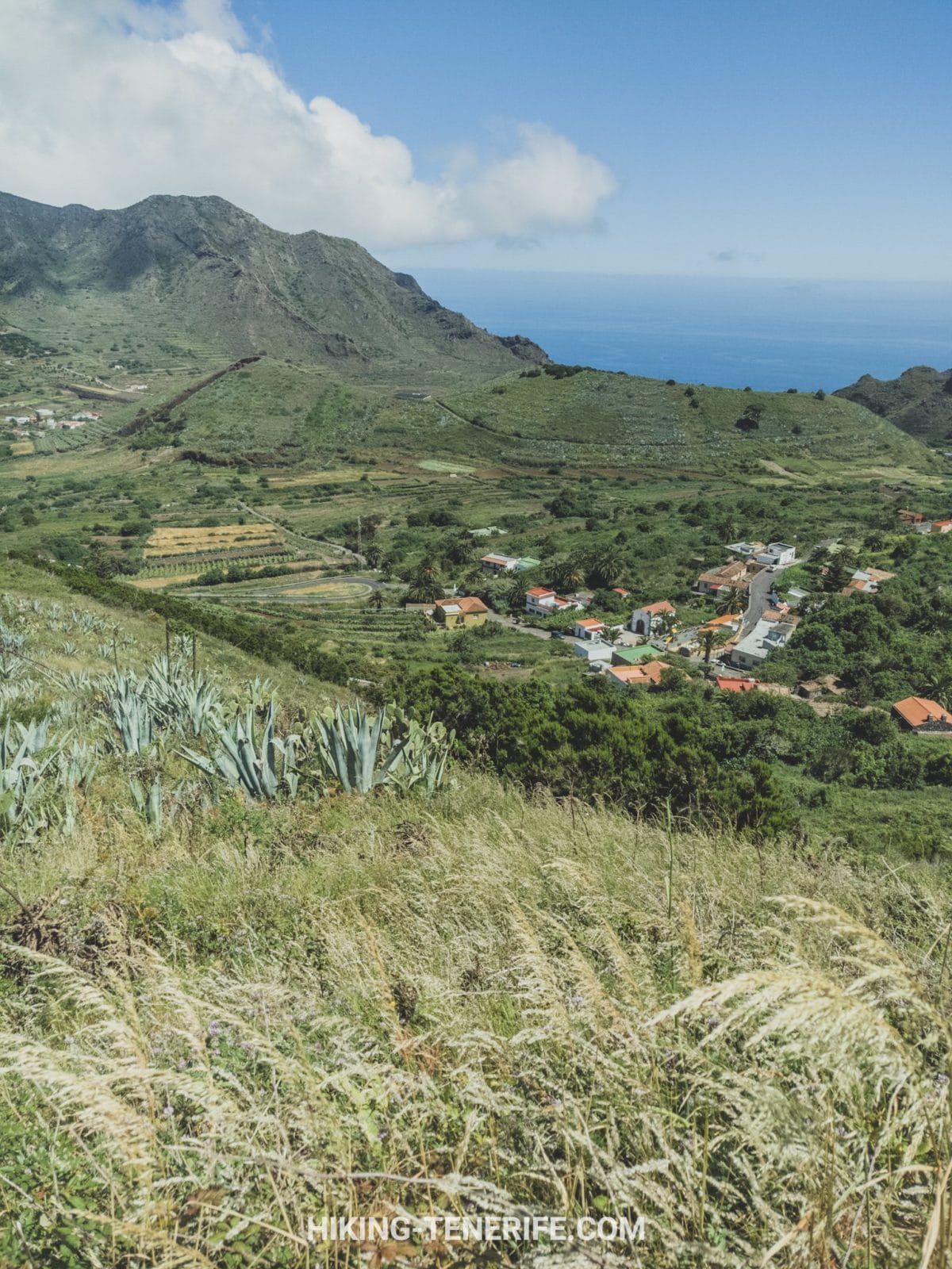
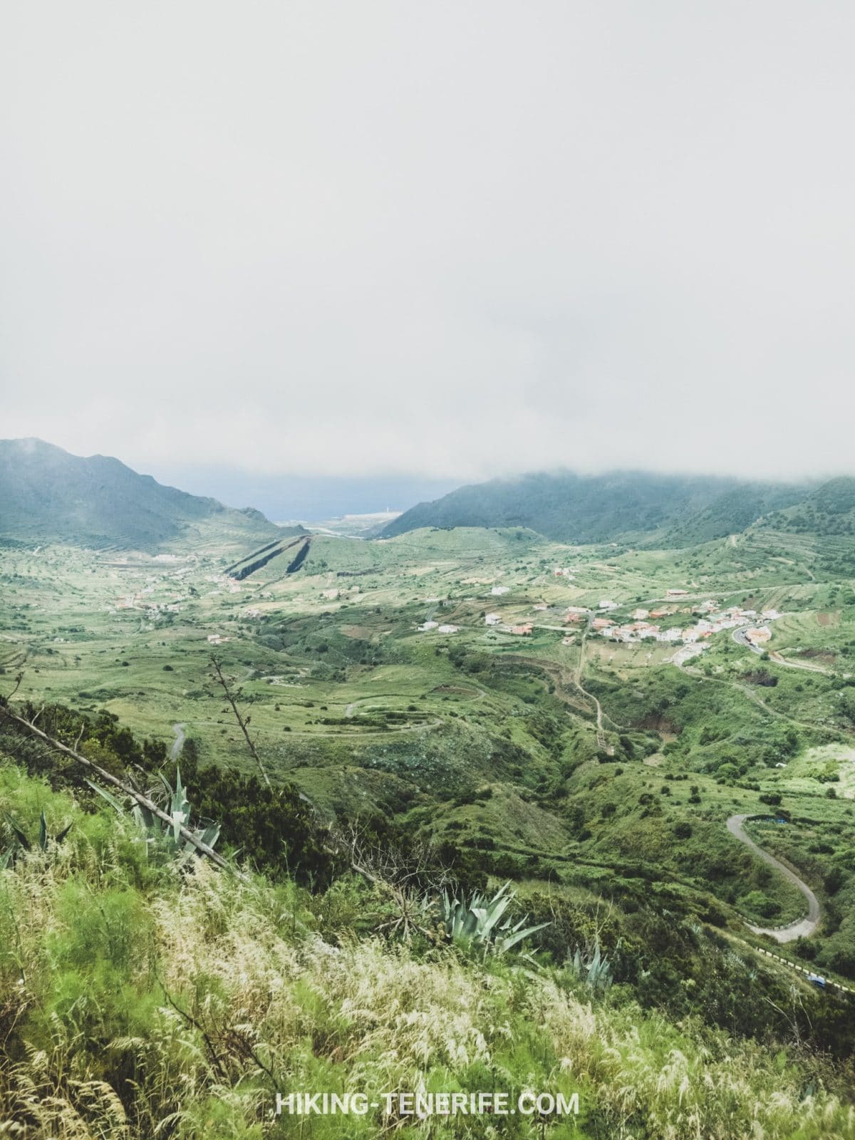
El Palmar sits below with terraces and farm buildings. This is one of the reasons I prefer this side of Teno: it does not feel like empty scenery staged for visitors. People live and work here.
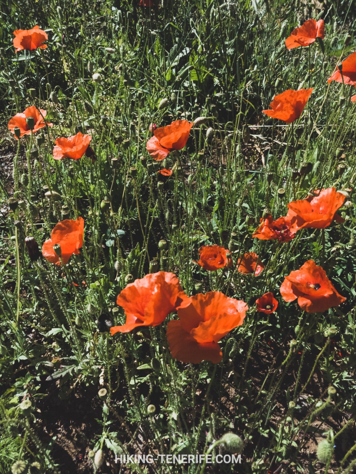
As the route climbs, Teide appears from an angle that makes it feel almost unfamiliar. The huge green mass of Monte del Agua sits in front of it, a useful reminder that Tenerife is not only lava and dry south-coast light.
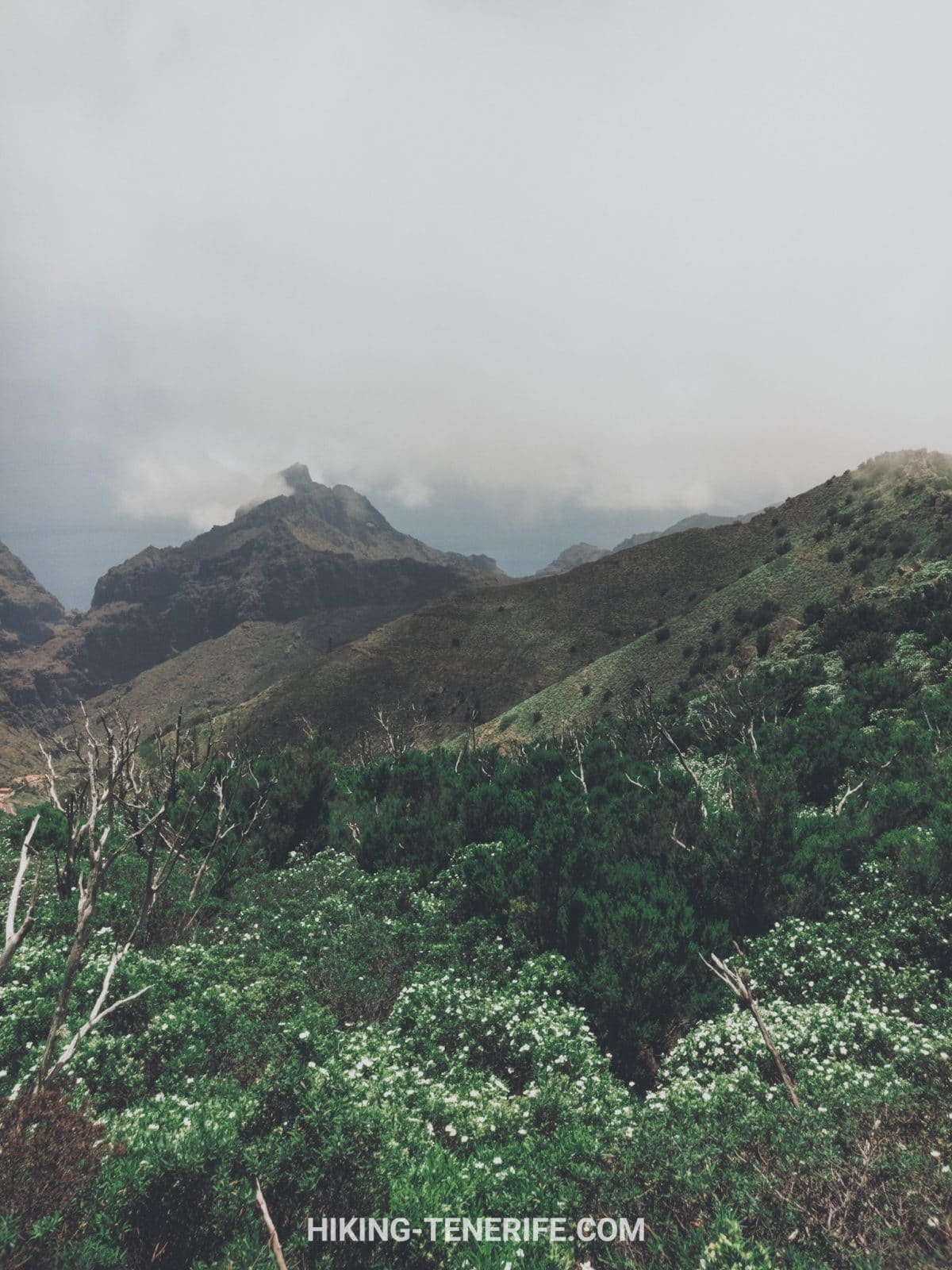
If low cloud arrives, do not treat it as a failed photo day. It is part of the forest’s personality. But treat it as a navigation and temperature change, not as a romantic filter.
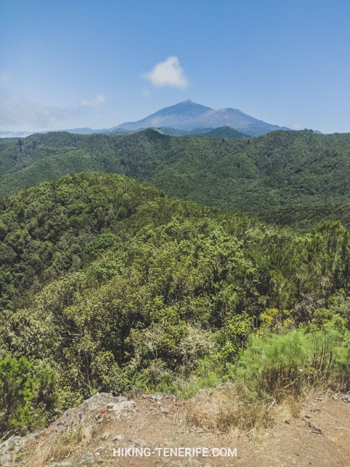
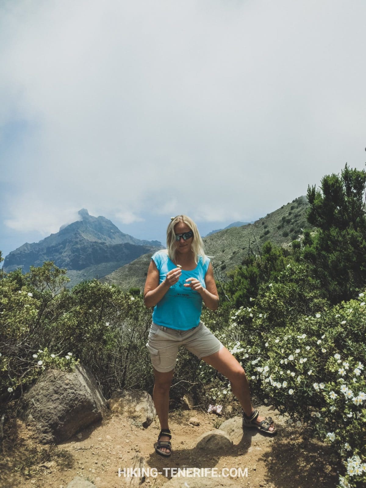
At the clearer edges of the climb, the west opens out in a completely different way: ridges, distant settlements and a lot of air. It is a useful pause before the forest takes over again.
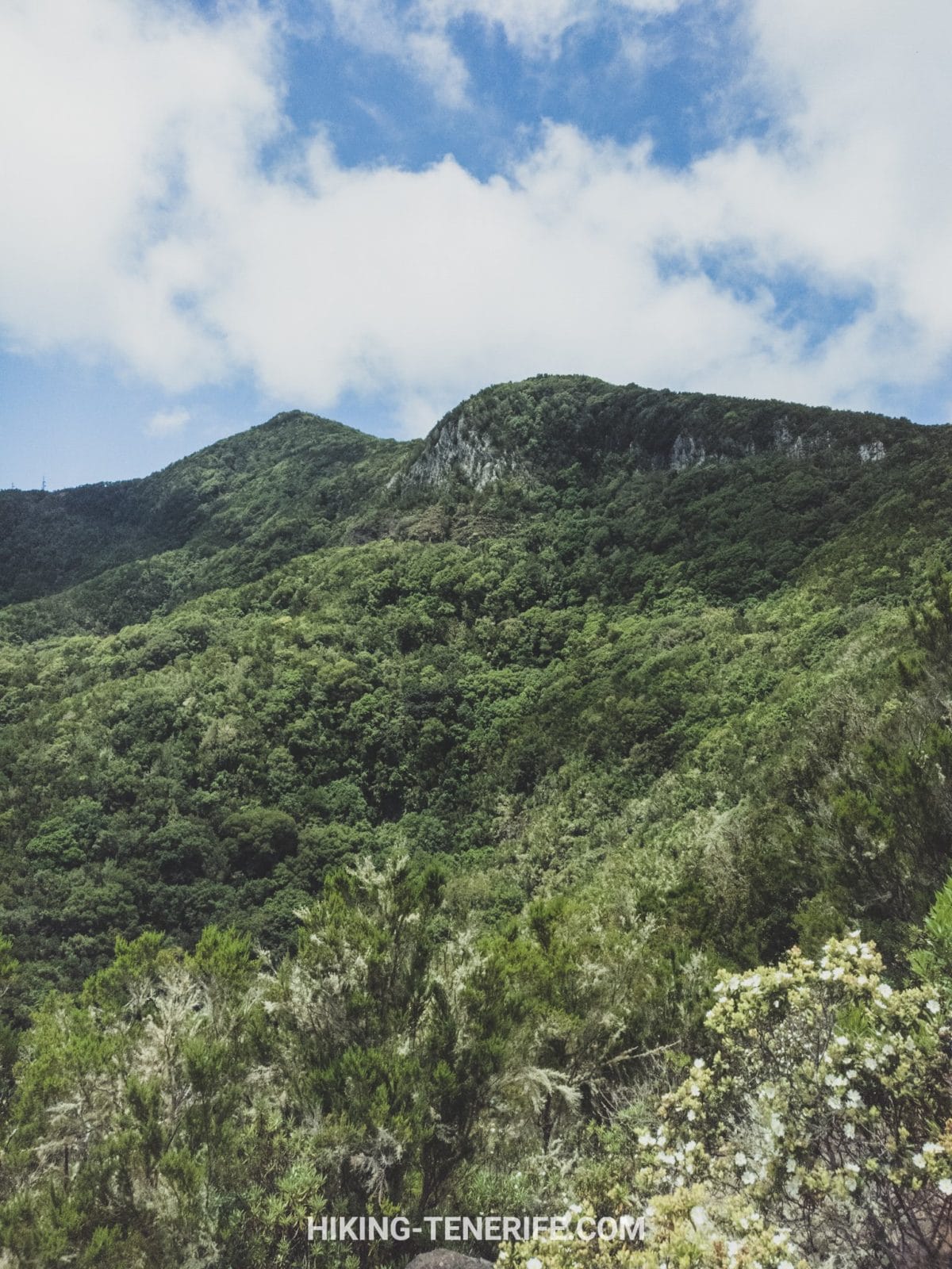
Inside Monte del Agua: Forest, Ferns and the Steep Bit
Once the forest closes around you, the mood changes quickly. The trees feel closer, the air can be cool and wet, and the route has less room for casual holiday footwear.
The uphill through the heart of Monte del Agua is the section that earns the day. It is steep enough to make a fit person work, while the cool air can make the effort feel strangely pleasant. Tenerife does enjoy a contradiction.
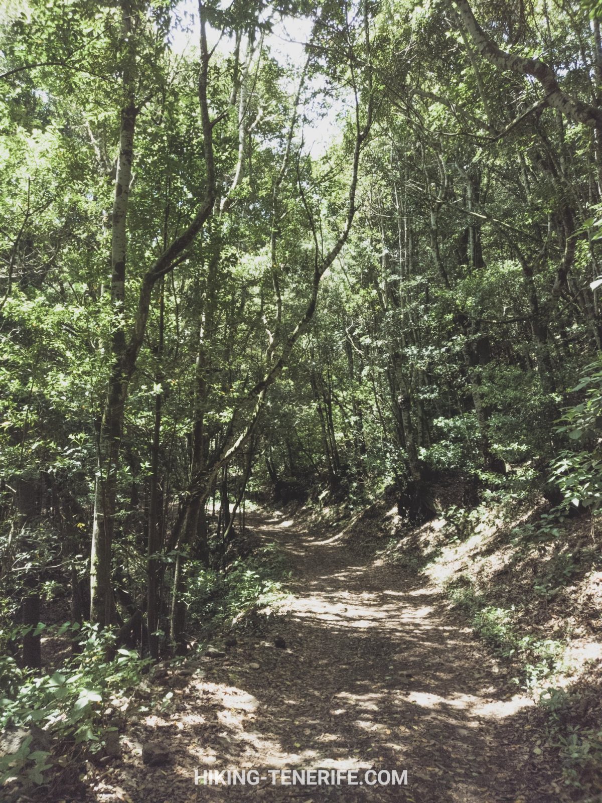
Then come the giant ferns. They are wonderful, but they also tell you that this is a damp mountain environment. Roots, mud and slick stone are more important facts than any botanical adjective.
Blackberries reach for your sleeves as if they have a small legal claim on everyone who walks past. I respect the confidence. Keep moving and leave the plants alone.
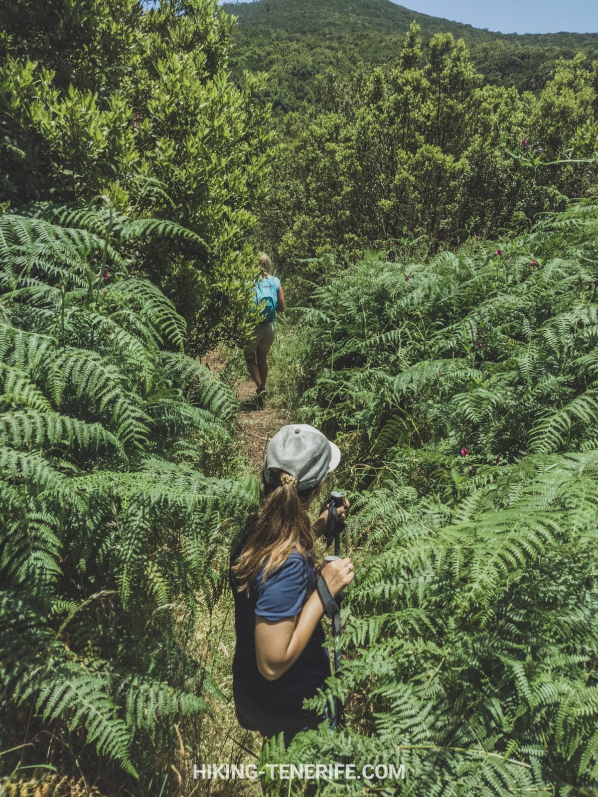
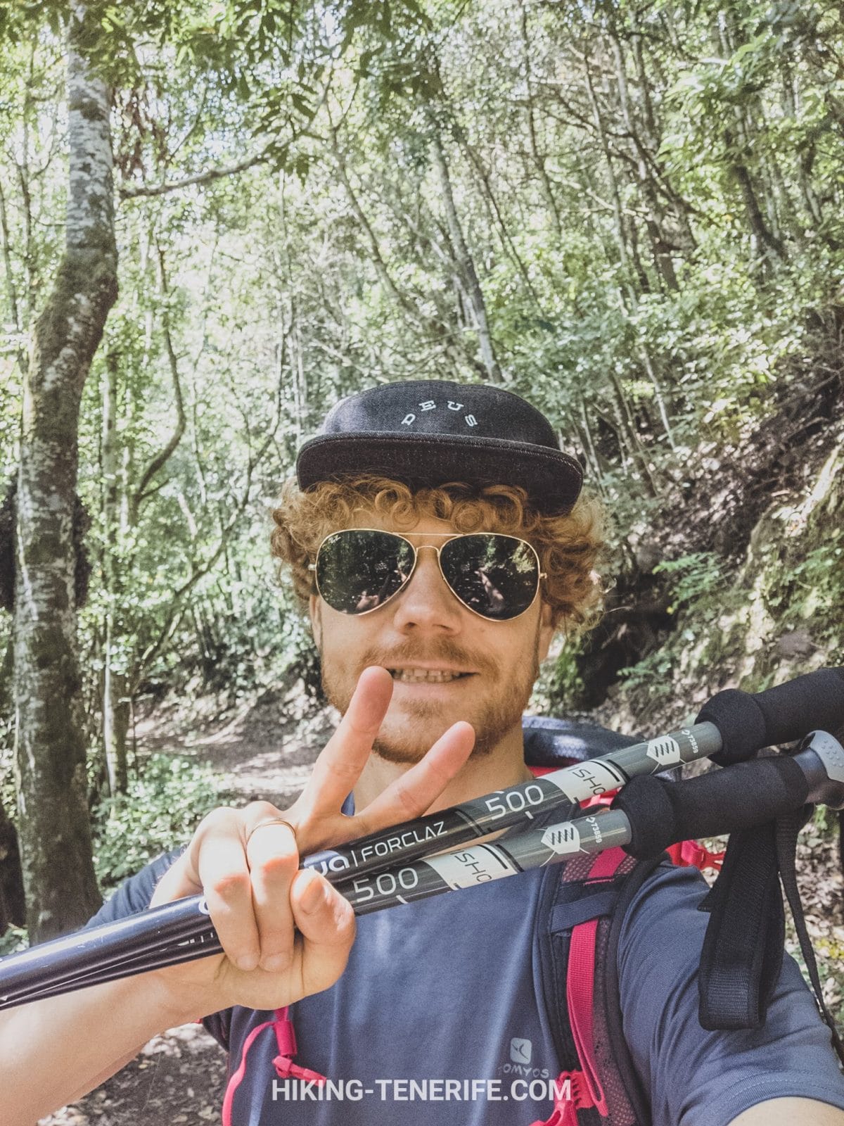
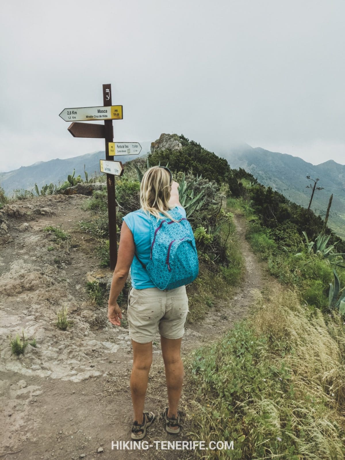
A light waterproof, a warm layer, grippy shoes, water, food, an offline route and a charged phone belong in the bag even when the coast forecast looks cheerful. The Cabildo’s own trail guidance says the same basic thing for a reason.
Do not rely on a café, toilet, tap or mobile coverage appearing when you need it. Eat and fill bottles before the hill; let a local meal at the end be a reward, not your emergency plan.
Weather, Mud, Fog and the Sensible Turnaround
Teno can give you bright fields below and fog, wind or drizzle higher up. In summer the lower approach may be hot while the forest stays damp. In winter the green is glorious, but the ground and visibility demand more judgement.
Check the official Tenerife ON route information, AEMET warnings and the local road situation on the morning itself. If the trail card shows a closure or the weather turns ugly, save the hike. The park will not take it personally.
Turn around if cloud removes your navigation confidence, wind makes exposed ground uncomfortable, rain changes the footing beyond what your group can manage, or somebody is already rationing water. There is no prize for finishing a route after it stops being sensible.
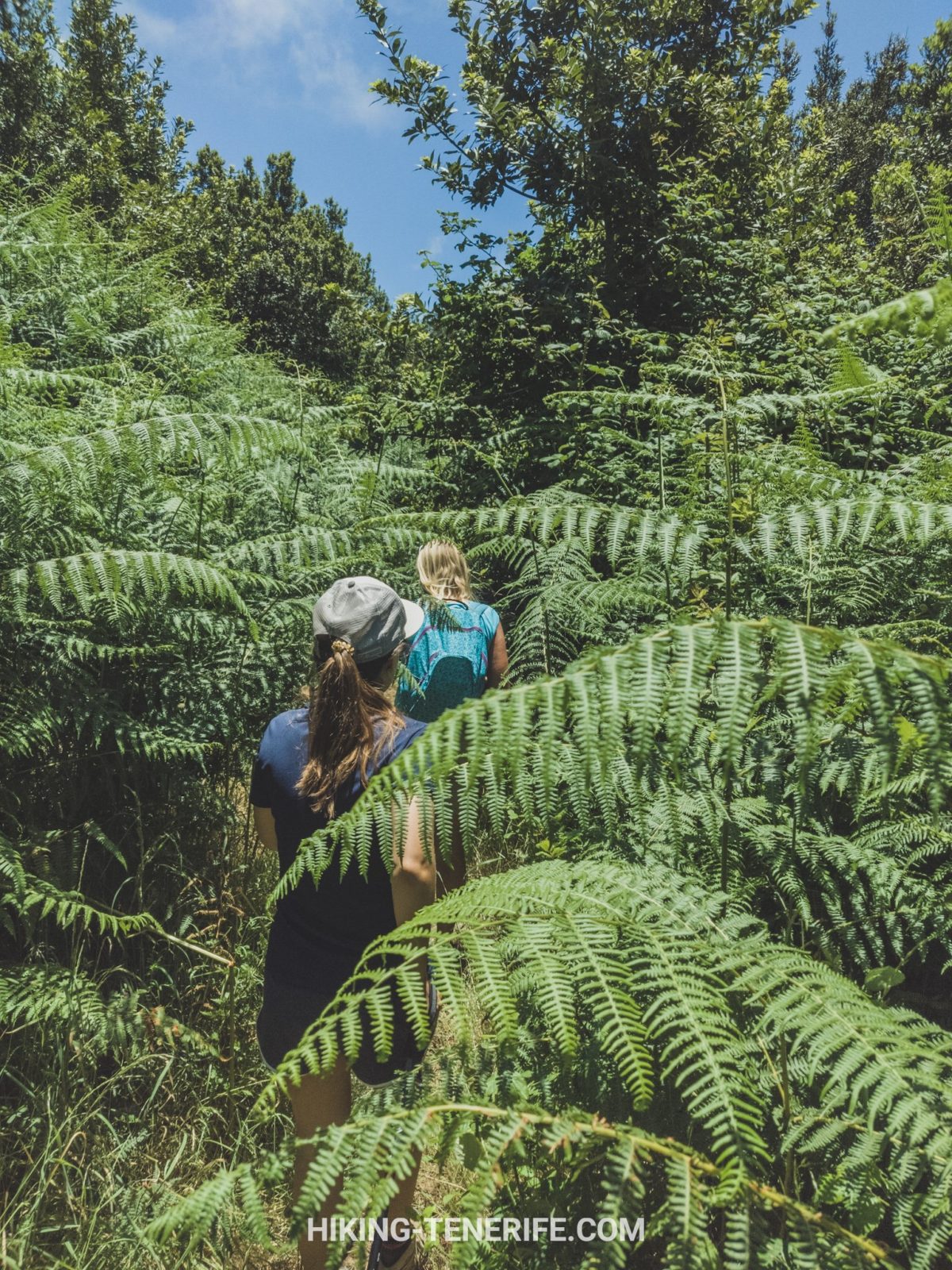
Stay on signed paths, keep noise down, take every scrap of rubbish home and do not pick plants or berries. The quiet here is part of the experience, and the forest does not need visitors helping it become a picnic bin.
This is also not a place to separate the group for a faster photo lap. Walk to the slowest person’s confident pace, tell somebody your plan and leave enough daylight for a calm finish.
Getting to El Palmar: Car, Bus and Parking Reality
A car makes the full loop much easier, especially if your chosen start and finish are the same. Approach El Palmar as an access point in Teno, not as a promise of a big trailhead car park. Use only marked spaces and arrive with time rather than inventing a shoulder space.
Without a car, this can work only if you build the day around the live TITSA timetable and accept less flexibility. The Cabildo lists lines 355, 365 and 366 around Las Canales and the Teno access area; check the exact current route, stop, frequency and last return before you commit.
For a no-car traveller, a shorter official section or a guided day may be the more honest choice. A missed bus after cloud forest is not an authentic local experience. It is just a missed bus.
Free Tenerife map
Planning a Teno day without turning it into a road marathon?
My free Tenerife map helps you group the walk, coast, lunch and return route without treating every scenic pin as a compulsory detour.
Teno Alto, Masca and Garachico: Same Corner, Different Days
Teno Rural Park is the big protected landscape. Monte del Agua is the forest side of it. Teno Alto is a higher, more open rural plateau. Masca is a dramatic village and ravine system farther through the massif. Garachico is a north-coast town outside the forest loop. They belong to one excellent north-west trip, but not automatically to one day.
If the weather is clear and you want exposed ridges and rural views, Teno Alto is the better alternative. If you want town, coast and a meal after a shorter walk, use Garachico on a different day. If you want a broader north itinerary, start with my north Tenerife guide rather than forcing every landscape into one route.
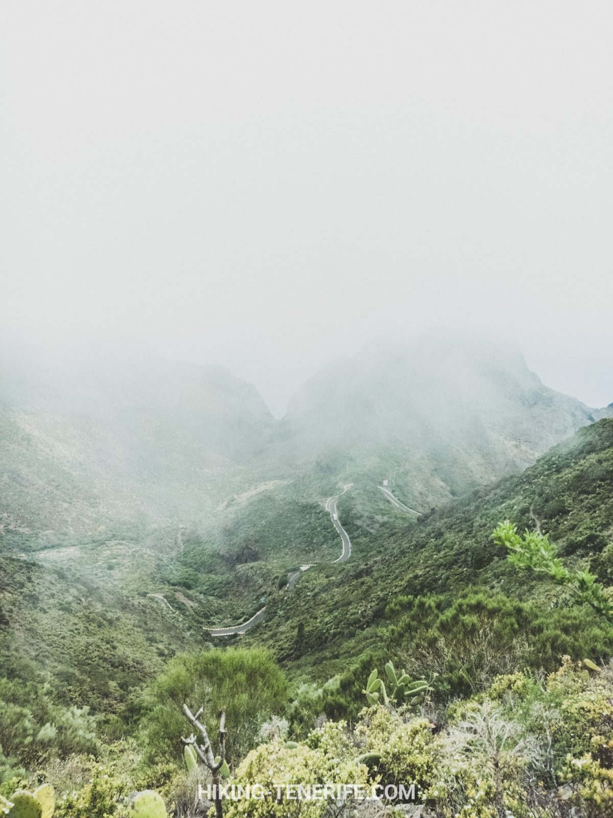
Masca and Teno are connected geographically, but Monte del Agua is not the Masca Gorge hike. The gorge has its own reservation, transport and sea-exit rules. Read the current Masca village, road and parking guide and the separate gorge information before you book or drive there.
Can you combine Masca with this walk? Only as a cautious, conditions-dependent travel day, and usually not with the full hike. A big road day plus a steep forest loop is how a beautiful idea turns into a late, tired and slightly ridiculous one.
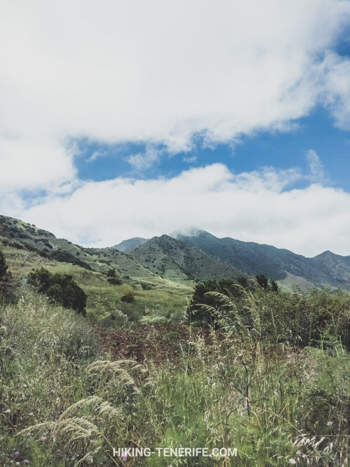
People often call the drive the “road from Masca to Garachico”. It is not one simple scenic route: TF-436 links the Masca side with Buenavista and the El Palmar area, while the coast connection to Garachico is separate. Road conditions, closures, traffic controls and bus service can change, so do not use this article as a promise that the whole chain will be open or comfortable.
For this hike, you do not need to descend into Masca at all. If you are staying in the south at Los Cristianos or Playa de las Américas, make Teno a dedicated early start rather than a casual after-lunch detour.
Who Should Choose This Hike?
Families with children who already enjoy real hills can love the changing plants and the sense of discovery. Families with prams, young children who hate long uphill walking, or anyone who needs frequent toilets and easy exits should choose a shorter accessible route or a different day.
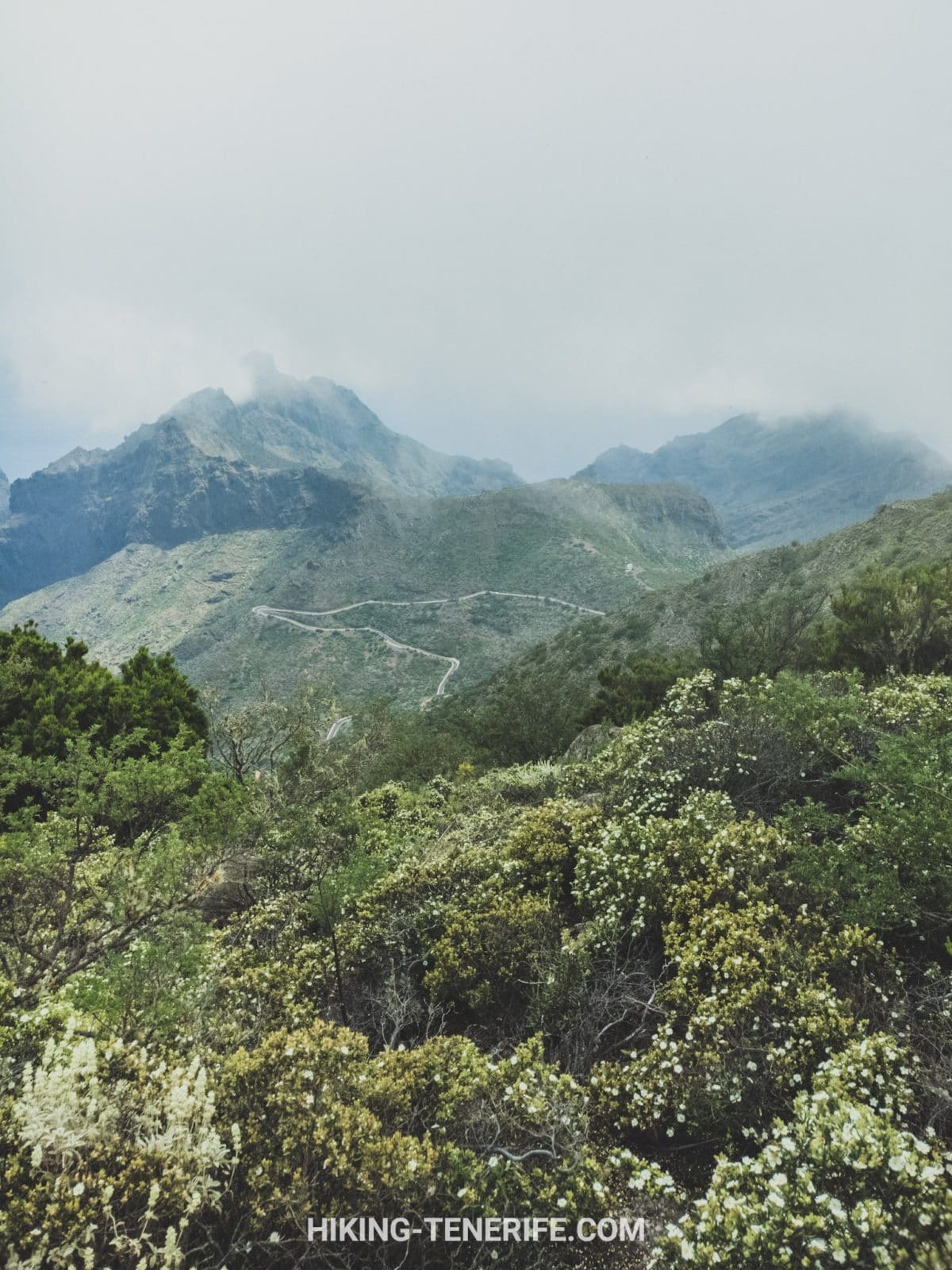
Photographers will enjoy the soft forest light, flowers and views over Masca and El Palmar, but should not bet the day on a clear panorama. Fog is common enough to be part of the bargain.
For serious hikers, this is a characterful warm-up or a quieter companion to the big Tenerife routes. For first-time walkers, it is a good test of whether you enjoy mountain terrain when the scenery is beautiful but the surface is not trying to be helpful.
If you are still deciding which sort of Tenerife belongs in your trip, compare this green north-west day with Anaga Rural Park, Teide and the wider Things to Do in Tenerife guide. They are different answers, not a ranking.
A Better North-West Plan
My preferred version is simple: begin early in El Palmar, walk only while the weather and your group are comfortable, eat locally after, and let Garachico or the coast be a flexible extra rather than a target you must reach.
Do not add La Orotava, La Laguna, Teide and the south coast just because a map makes them look close. If you want towns, use La Orotava and La Laguna on their own north-side days. Tenerife rewards choosing fewer good things.
Local Tenerife guide
Want the island route to feel calmer than the roads look?
Use my handcrafted Tenerife guide for route order, timing, local context and quieter ways to explore without guessing every turn.
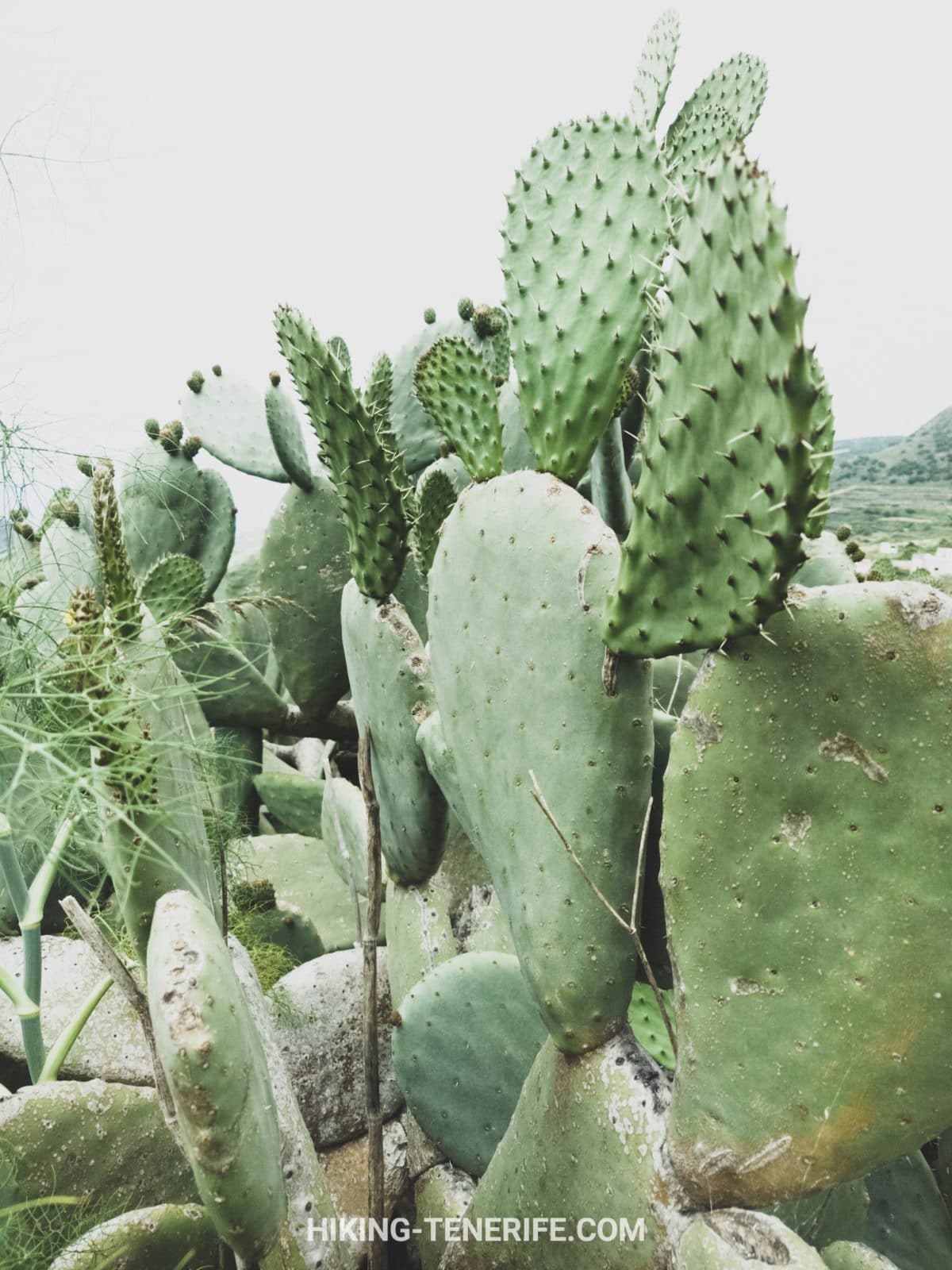
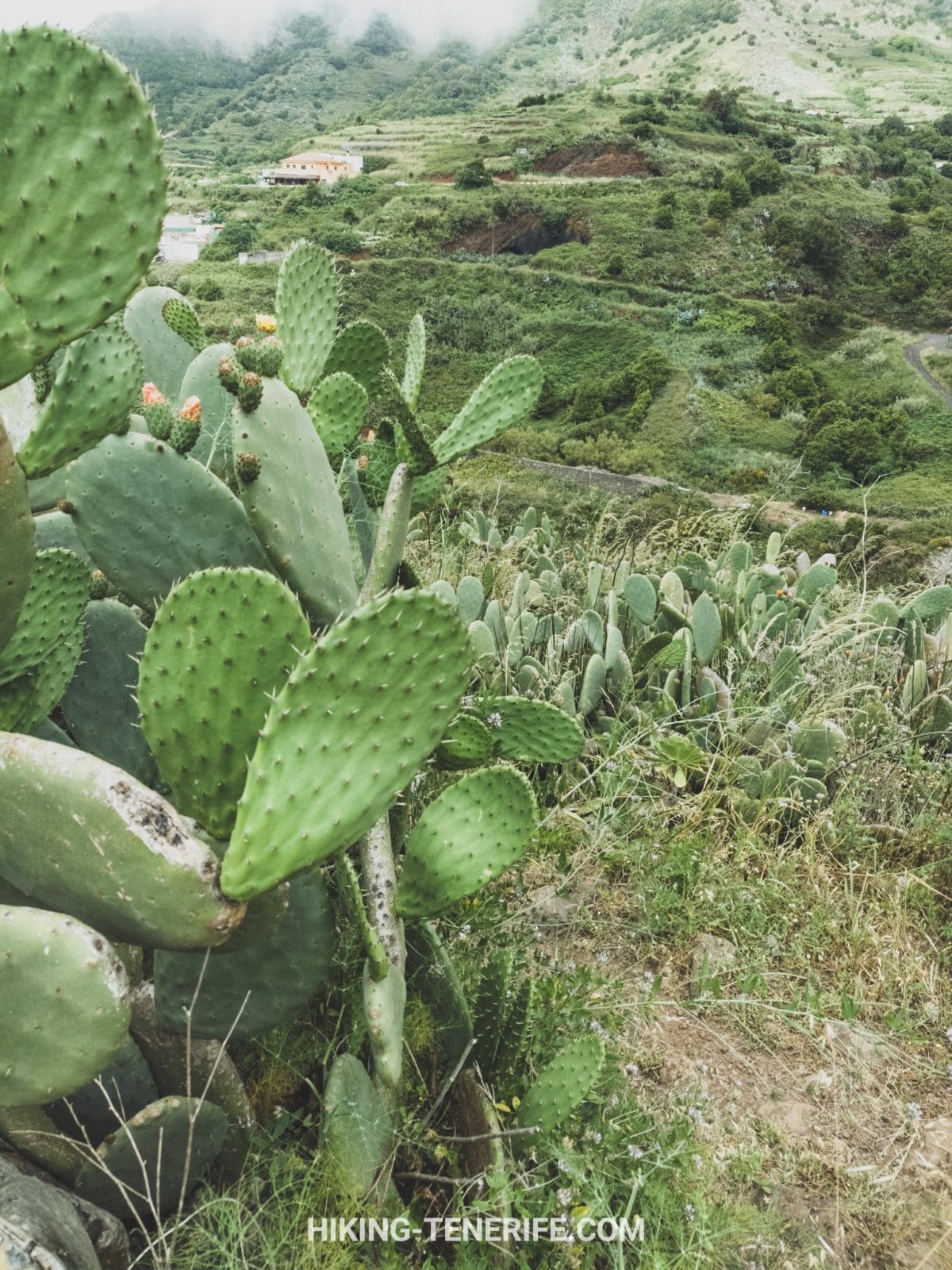
The end of this route is one of my favourite Tenerife transitions: forest becomes flowers, flowers become cacti, cacti become vines and small houses. Then somebody sensible suggests food. That is an itinerary I can support.
Teno Rural Park and Monte del Agua FAQ
These are the questions that change a Teno plan before you put boots in the car.
Final local verdict: come to Monte del Agua when you want Teno to feel green, rural and quietly wild. Check conditions, respect the forest, give yourself time, and do not turn it into a Masca checklist. The best version of this day has space to breathe.


